Pros & cons
PROS
- Backcountry permits, maps, and ranger intel in one spot
- Reliable water and flush restrooms in a remote area
CONS
- No gas or food service
- Small center with limited exhibits
Overview
Consider this the launch pad for the Needles District. It’s a modest building, but it delivers what matters out here: exhibits, a small bookstore for maps and guides, rangers who actually know the conditions, and a picnic area. It’s quieter than other districts, which is part of the charm—fewer crowds, more headspace.
What You’ll Find Inside
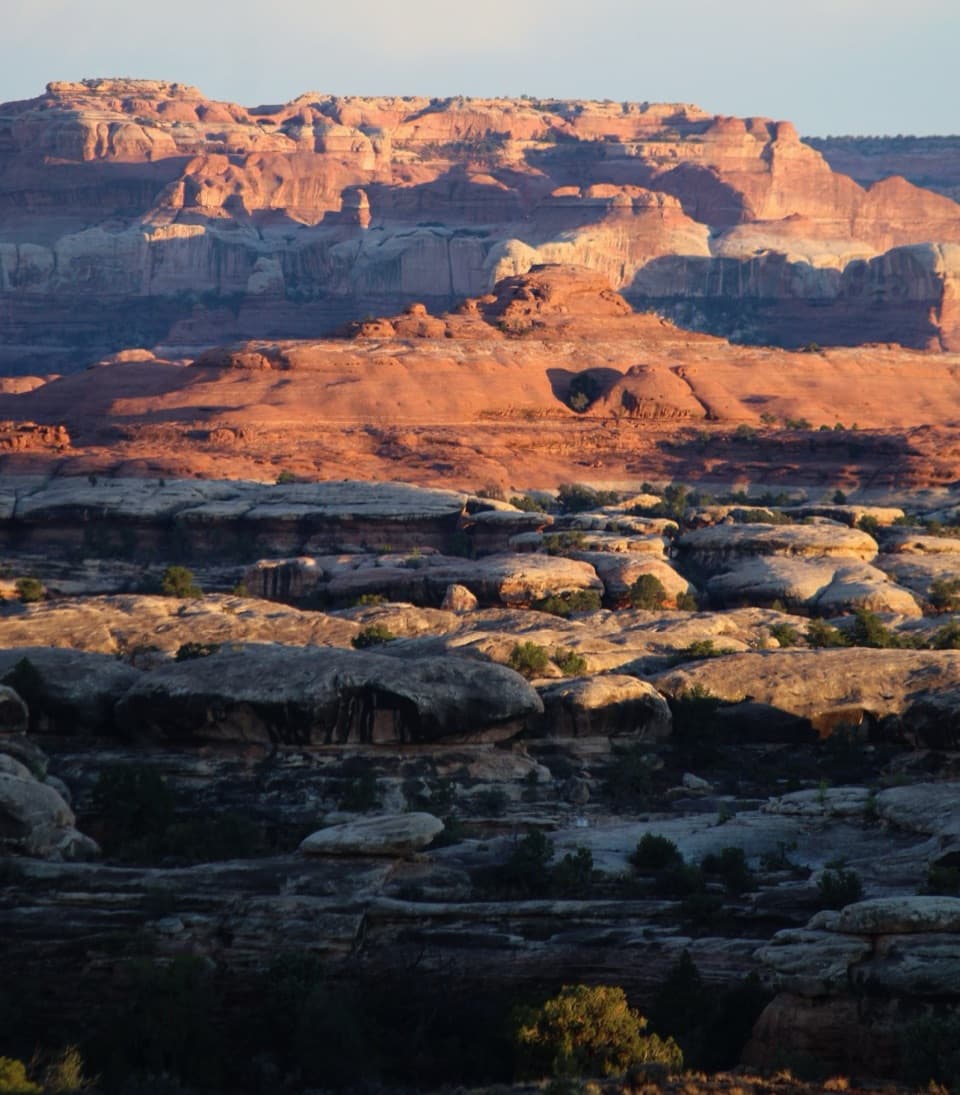
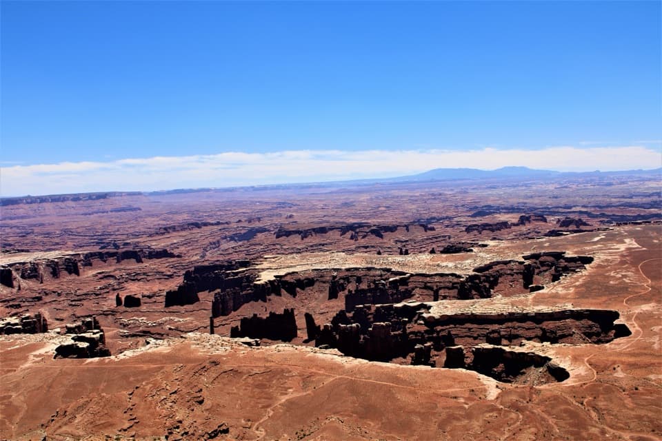
Expect straightforward, useful services: book and map sales, backcountry permits, and an information desk staffed by rangers. There are exhibits to help you get your bearings on the geology and human history of the area. Outside, you’ve got a picnic area and the desert vistas that give the Needles its name.
Practicalities That Matter
This is one of the few reliable places in the district for potable water and flush toilets—take advantage before you head deeper. There’s no gas and no food service, so arrive topped off and bring what you plan to eat. Use the stop to verify trail and road conditions, especially if you’re eyeing longer hikes or any 4WD routes.
Nearby Highlights
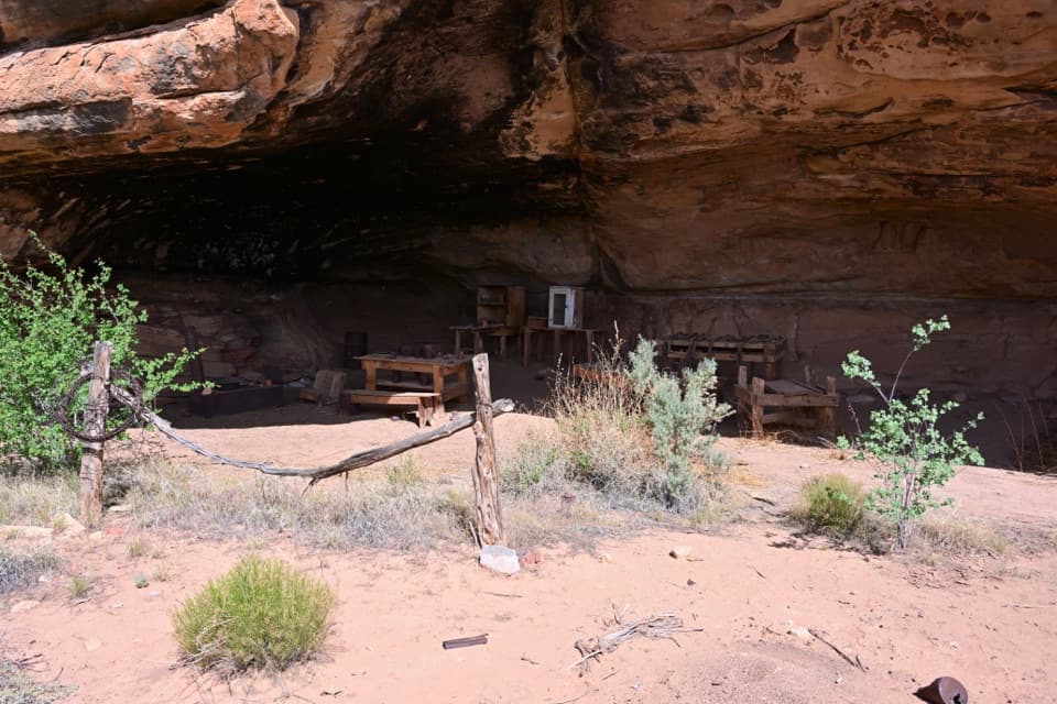
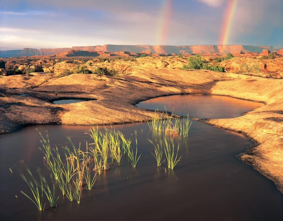
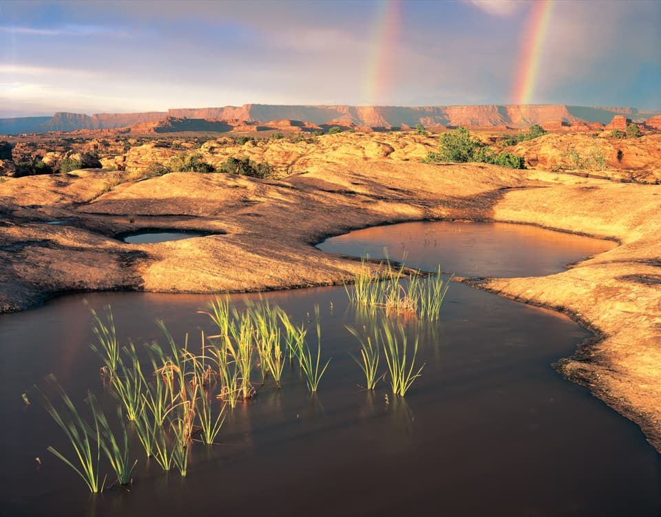
A handful of quick, rewarding stops sit close by: the short loop to the Stone Storehouse (formerly Roadside Ruin) with a Puebloan granary, Cave Spring with its cowboy camp and rock art, and Pothole Point, where rain brings tiny desert critters to life in rock pools. They make great warm‑ups or leg‑stretchers before bigger outings.
Wildlife
Around the center and on nearby short walks, expect desert regulars—lizards, birds, and the occasional small mammal. After rains, the potholes become micro‑worlds worth a close look.
Best Time to Visit
Plan your arrival with the long approach in mind—this district is remote. It sees fewer people than other parts of the park, so even mid‑day can feel mellow. Use morning or late afternoon for cooler temps and to set up your day’s hikes after a quick check‑in with rangers.
Where it is
38.1681, -109.7594Tips for The Needles Visitor Center
- 01Top off your gas tank before leaving US 191—there’s no fuel in the district.
- 02Bring your own food; there’s no restaurant or food service here.
- 03From Moab, budget about 1.5 hours to reach the center, then plan your day.
- 04Start at the desk for backcountry permits and the latest trail/road conditions.
- 05Check current services and details before you go: [recreation.gov](https://www.recreation.gov/camping/poi/258514).
Amenities
Near The Needles Visitor Center
All places →All trails →
0.3 mi awayRoadside Ruin TrailQuick loop to an Ancestral Puebloan granary near the visitor centerEasy · 0.3 mi · 20 min
0.3 mi awayRoadside RuinTiny loop to a 700-year-old granary under a sandstone alcoveTrailhead · Parking
0.8 mi awayCave SpringShort loop with ladders, cowboy camp, rock art, and a green alcoveTrailhead · Parking
0.9 mi awayCave Spring TrailShort loop with ladders, rock art, and a shady desert springEasy · 0.6 mi · 45 min
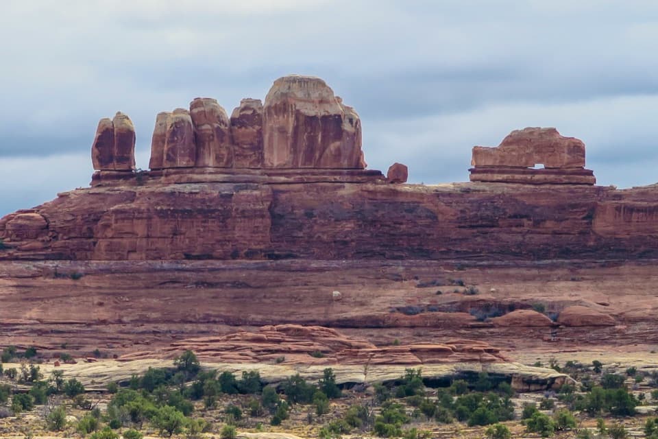
1.7 mi awayWooden Shoe Arch OverlookQuick roadside view of a shoe-shaped arch on the Needles drivePullout · Parking
2.6 mi awayPothole Point TrailShort slickrock loop with living potholes and big Needles viewsEasy · 0.6 mi · 30 min
2.6 mi awayPothole PointShort slickrock loop of living potholes and Needles viewsTrailhead · Pullout
2.9 mi awaySquaw Canyon to Lost Canyon LoopTwo canyons, ladders, and slickrock—classic Needles sampler loop.Moderate · 6.5 mi · 4.5 hr