
Place · 1.8 mi away
Challenging
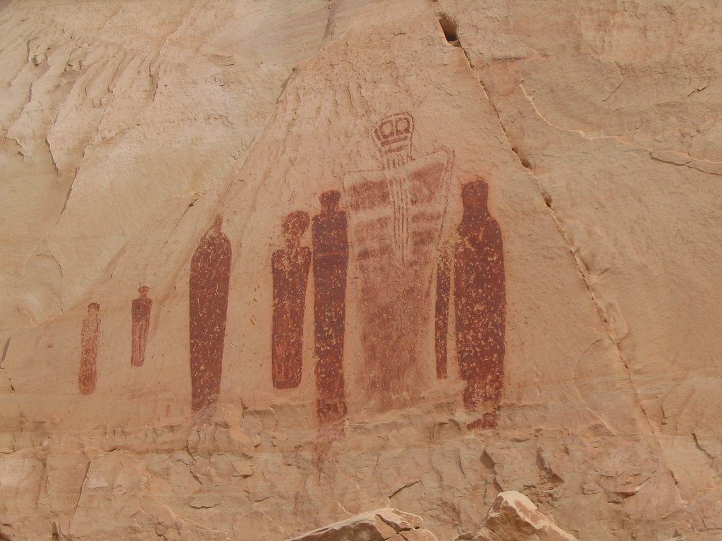
If ancient rock art lights you up, this is your pilgrimage. The Horseshoe Canyon Trail drops from the West Rim into a quiet sandstone gorge and follows the sandy wash to the Great Gallery—one of the finest Barrier Canyon Style pictograph panels anywhere. It’s an out-and-back of roughly 7 miles total, with a steep 750-foot descent you’ll earn back on the return. Plan on 4–6 hours, more if you linger at the panels (you should).
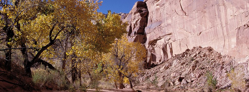
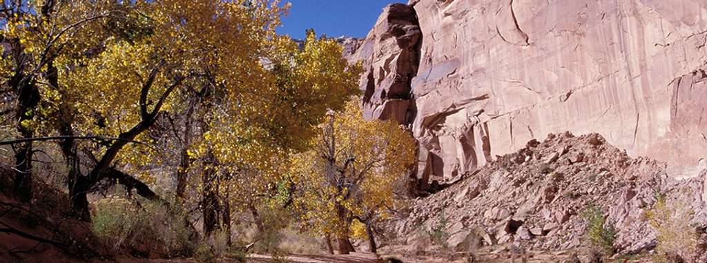
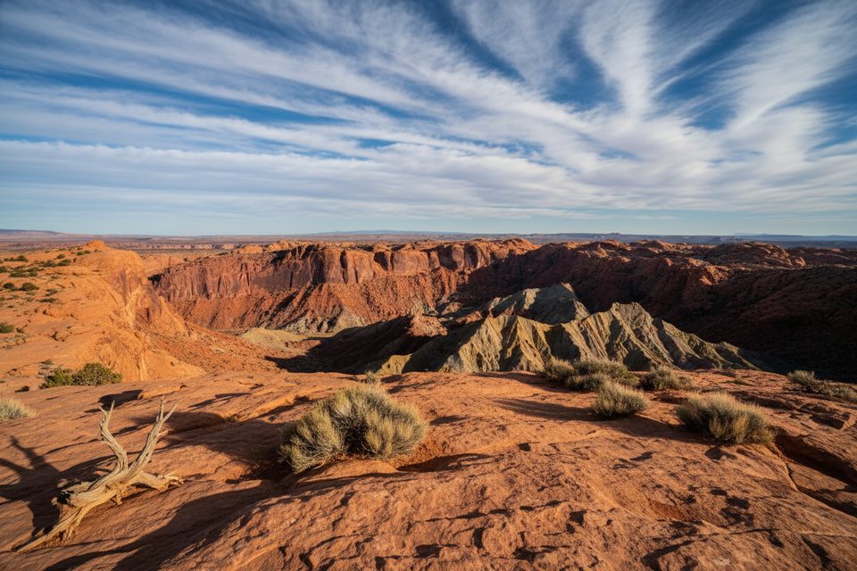
Expect sheer sandstone walls, a surprisingly lush corridor of mature cottonwoods, and—especially in spring—wildflowers along an intermittent streambed. The cultural highlight is a progression of four major rock art panels en route: the High Gallery, Horseshoe Shelter, Alcove Gallery, and finally the Great Gallery. Life-sized, often limbless figures with intricate detail make these panels unforgettable. Some are best appreciated with binoculars or a zoom lens. The canyon also carries human stories—outlaws like Butch Cassidy reportedly used this country—and remnants from early ranching still linger.
From the West Rim trailhead, a well-marked path drops quickly into the canyon. Once on the floor, the walking is mostly level but often sandy, which adds effort and slows the pace. You’ll pass signed rock-art stops before reaching the Great Gallery. The hike back ends with a sustained climb to the rim. It’s remote, with no cell service and usually few people—solitude is part of the appeal.
There is no water at the trailhead or reliably in the canyon. Carry at least one gallon (4 liters) per person, plus food and the full desert essentials. Day hiking does not require a permit. Pets are not allowed on the trail or below the rim. Camping is not allowed inside the canyon; the West Rim trailhead area has a vault toilet and primitive (no-water) camping on BLM land. Ranger-led walks are sometimes offered in spring and fall. The descent follows an old four-wheel-drive route suitable for horseback travel.
Reaching the West Rim trailhead involves many miles of dirt—about 30 from UT‑24 or roughly 47 from Green River. Conditions can be rough, sandy, and impassable after rain. High-clearance is recommended. Do not rely solely on GPS; check current road conditions with the Hans Flat Ranger Station before committing.
Spring and fall are the sweet spots—milder temperatures, spring wildflowers, and occasional ranger-led walks. Summer regularly tops 100°F; avoid it unless you’re extremely prepared and start very early. Shoulder-season weekdays offer the best chance at total quiet. For viewing and photographing the panels, give yourself time for careful, respectful observation—binoculars help.
Park at the Horseshoe Canyon West Rim trailhead. There is a vault toilet and primitive BLM camping but no water. Access is via long stretches of graded dirt from UT‑24 or Green River; check road conditions in advance and don’t rely solely on GPS.
Extreme heat in summer (often over 100°F), no water, deep sand, and a steep climb out. Remote setting with no cell service. Access roads can be impassable after rain—verify conditions and bring ample water (at least 1 gallon per person).
Place · 1.8 mi away
Place · 2 mi away
Place · 9.1 mi away
Place · 10.7 mi away
Moderate · 9.5 mi away
Challenging · 15.2 mi away
Moderate · 15.2 mi away
Moderate · 15.2 mi away

Parkwolf Tour Guide
