Parking
Start at the Upheaval Dome parking area at the end of Upheaval Dome Road in the Island in the Sky district. The route begins from this trailhead; a restroom is listed at the parking area.
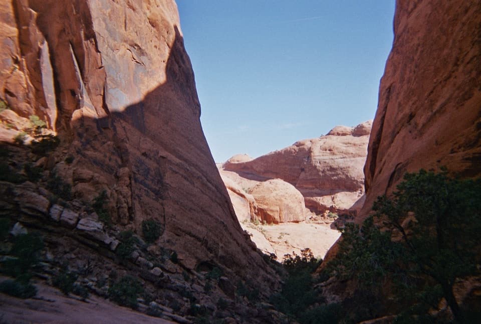
Canyonlands National Park, UT
A demanding loop of steep descents, sand and boulder scrambles.
Overview
Syncline Loop is an 8.1-mile circuit around Upheaval Dome, starting and ending at the Upheaval Dome trailhead. Plan on five to seven hours for a strenuous day of steep switchbacks, sandy canyon floor and boulder scrambling. It suits hikers who are comfortable navigating a lightly marked route and carrying supplies for a long desert hike. The loop circles the dome but does not take you to an overlook or show you into the crater; if that view is your goal, make time for the separate overlook walk.
 Parkwolf’s verdictIs this the hike for you?
Map & elevation
Plan your hike

The highest, rockiest slopes around here are a summer buffet for grizzly bears.
Canyonlands Tour Guide
Parkwolf is a GPS audio tour guide for Canyonlands National Park. As you drive, it chimes in with what’s ahead: hidden gems, upcoming stops, history, geology, and wildlife, right through your car’s speakers.
See the Canyonlands audio tourRecorded for this trailhead
Upheaval Dome“You're coming up on the Upheaval Dome trailhead, for a short, steep hike to a basin of folded rock. Choose the first overlook for a six-tenths-of-a-mile round trip, allowing about an hour over uneven rock and steps.”
Plays as you drive up to this trailhead in the Parkwolf Canyonlands Tour Guide.
More stories near here in the app
“Fantastic app with many points of information… It’s great to just turn on while you’re driving and it gives you an audio tour of the national Park. We love it!!!!”


Trail guide
Clockwise is the better way around for most hikers. You get the steep descent near the start, while you are fresh, then climb back more gradually through loose sand. The uphill stretch also gets more afternoon shade in this direction. The descent is still hard on knees, and steep switchbacks demand care whichever way you travel. Start early enough to leave room for a slower pace through the rougher sections.
The route begins over open slickrock before dropping through long switchbacks toward Syncline Valley. The rim and upper descent open onto broad canyon country; lower down, the walk changes to sandy washes and narrow rock corridors. Markers are sparse, so keep track of the line rather than assuming every obvious wash leads the right way. The route eventually joins the northern half of the loop, with branches for the separate Upheaval Canyon and Upheaval Crater spurs. Stay on the Syncline circuit unless you have planned extra distance and time.
The most demanding stretch comes on the return from the valley: a short, steep climb over loose boulders and slickrock, with occasional rock steps and limited wayfinding. A rough section climbs nearly 360 feet in about 0.2 mile before the grade eases into a grassy wash. There is still another steep canyon ascent before the trail winds back toward the parking area. Take the scrambles slowly, watch for the next marker, and save energy for that final climb.
There is no dependable water source confirmed along the loop. Carry at least one liter per person per hour, plus food, sturdy footwear, a map and a headlamp or flashlight. The route is a poor choice in peak summer heat. Shaded slopes can hold snow or ice in winter, which makes the steep descent slower and more demanding. Dogs are not allowed on the trail.
The Upheaval Crater spur adds about three miles round trip, and the Upheaval Canyon spur adds about seven; neither is included in the 8.1-mile loop. The Syncline route itself does not provide views into Upheaval Dome, so treat the overlooks as a separate, shorter visit rather than expecting the loop to deliver that view.
Wildlife
 48 sightingsBighorn SheepMost seen around 7 AMSighting map
 47 sightingsMule DeerMost seen around 7 AMSighting map
 12 sightingsCoyoteMost seen around 7 PMSighting map
 30 sightingsWestern RattlesnakeMost seen around 7 PMSighting map
 18 sightingsTurkey VultureMost seen around 11 AMSighting map
 18 sightingsWild TurkeyMost seen around 7 AMSighting map
Sighting maps show where each species has been reported across Canyonlands. Wildlife moves, so no sighting is guaranteed.
Keep exploring
 ChallengingUpheaval Crater Trail9.2 mi · 7.5 hr · At the trailheadA strenuous 9.2-mile out-and-back into Upheaval Dome's crater floor.
 ModerateUpheaval Dome Overlooks Trail1.2 mi · 1.5 hr · 0.1 mi awayA short, steep climb to colorful folded rock and canyon views.
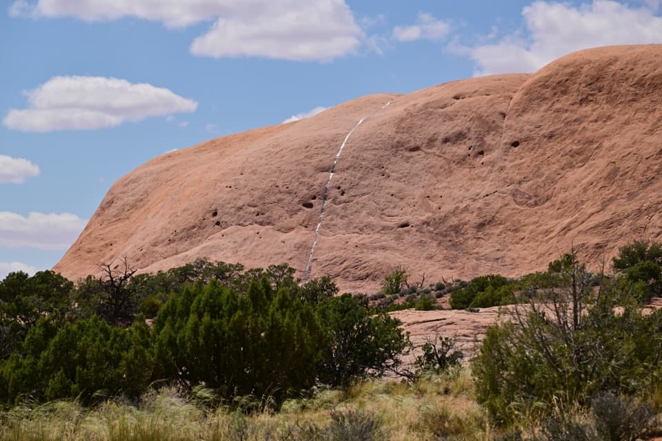 ModerateWhale Rock Trail0.8 mi · 1 hr · 0.6 mi awayA short slickrock scramble to broad Island in the Sky views.
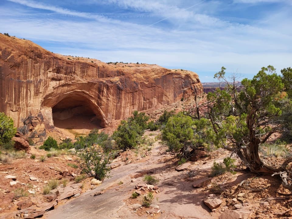 ChallengingAlcove Spring Trail11.2 mi · 6.5 hr · 0.9 mi awayFull-day canyon descent to Alcove Spring and Moses and Zeus towers.
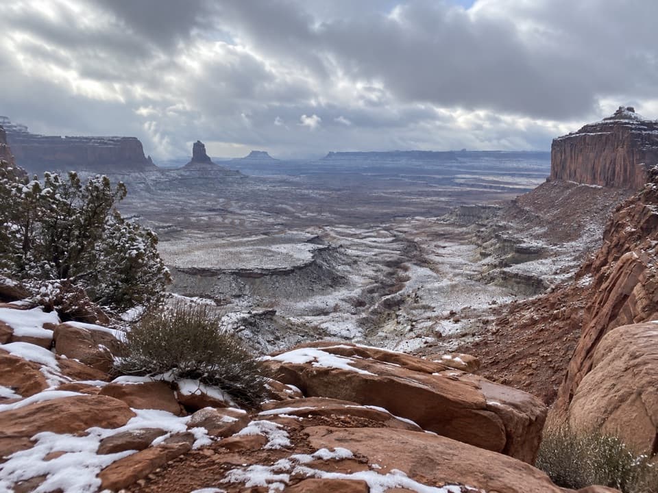 ModerateFalse Kiva Trail1.9 mi · 1.8 hr · 1 mi awayA rough, cairned descent to wide views over Holeman Canyon.
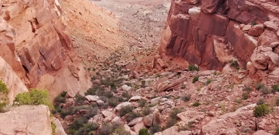 ChallengingWilhite Trail11.4 mi · 7 hr · 2.2 mi awayStrenuous 11.4-mile out-and-back to White Rim Road through Holeman Basin.
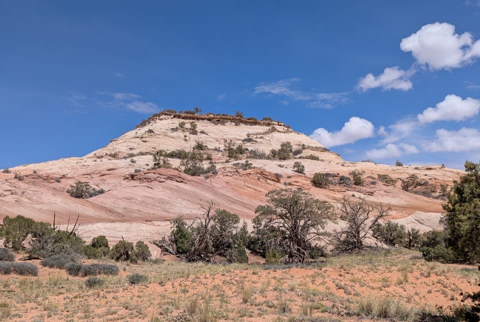 ModerateAztec Butte Trail1.4 mi · 1.8 hr · 3.3 mi awayTwo slickrock scrambles: one for canyon views, one for granaries.
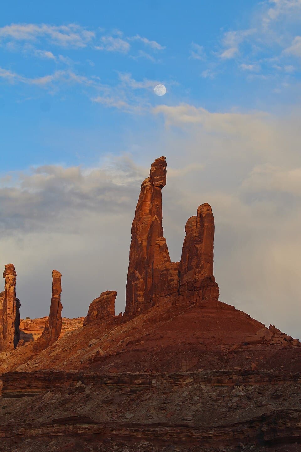 ModerateMoses and Zeus Trail1.3 mi · 1.5 hr · 3.4 mi awayTwo sandstone towers reward a short, rough hike into Taylor Canyon.
 Sight · 0.2 mi awayUpheaval DomeA three-mile-wide geologic mystery, seen from two steep overlooks.Sight · 0.5 mi awayWhale RockWhale-shaped slickrock, a short scramble, and a wide-open top.
 Sight · 3.3 mi awayAztec Butte GranariesTwo 900-year-old granaries tucked beneath a protective rock overhang.Sight · 3.5 mi awayMoses and Zeus TowersTwo desert towers make a memorable detour for backcountry explorers.
 Campground · 3.6 mi awayWillow Flat CampgroundA quiet, no-frills base near Green River Overlook and dark skies.
 Sight · 3.9 mi awayGreen River OverlookSee the Green River as a thin line 1,300 feet below.
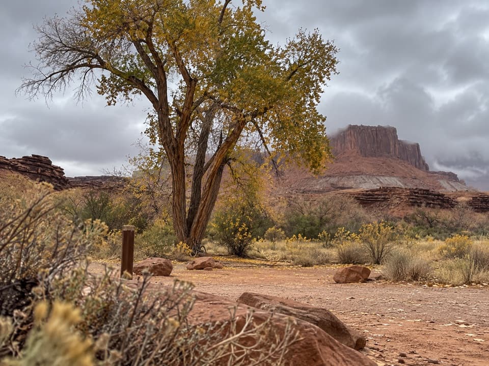 Campground · 4.3 mi awayPotato Bottom Camping AreaA remote overnight for a long, demanding White Rim trip.
 Sight · 4.3 mi awayMesa ArchFamous for sunrise glow; the canyon view is worth a later stop.
Parkwolf’s Canyonlands ranking
The audio tour guide for the drive, plus offline maps, trails, and wildlife heatmaps for when the signal drops.




