1 active Cape Cod alert
- CautionSharks active in park waters through OctoberSharks are active in park waters through October; heed beach guidelines and signage before entering the water.Official details
Food · Cape Cod National Seashore
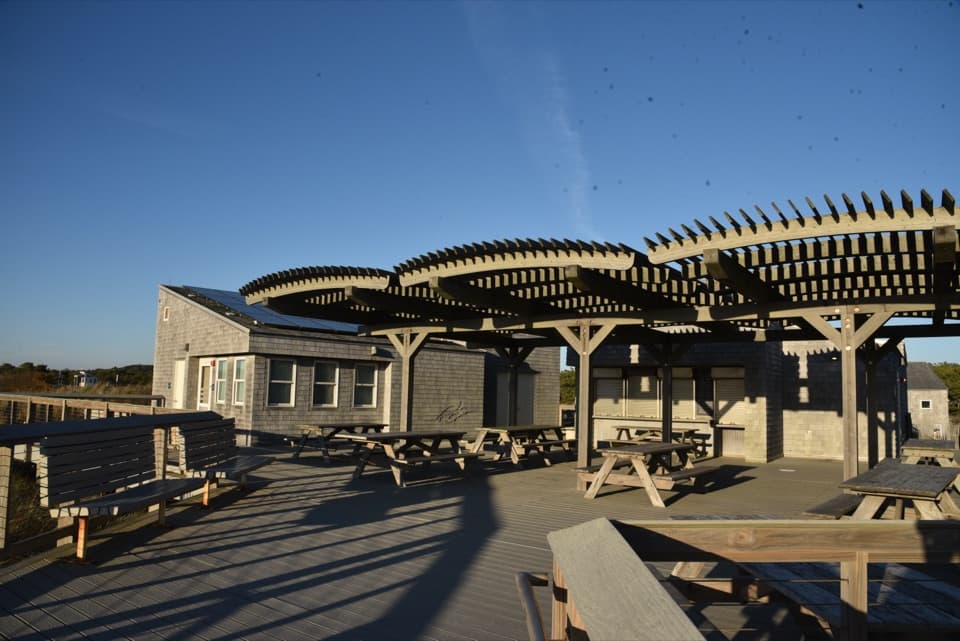
A beachside concession beside the bathhouse and picnic area.
Overview
Map
Plan your stop

The highest, rockiest slopes around here are a summer buffet for grizzly bears.
Cape Cod Tour Guide
Parkwolf is a GPS audio tour guide for Cape Cod National Seashore. As you drive, it chimes in with what’s ahead: hidden gems, upcoming stops, history, geology, and wildlife, right through your car’s speakers.
Recorded for this place
Herring Cove Beach“Herring Cove Beach is coming up, and it's my pick if you'd prefer gentler water to the Atlantic-facing beaches. It faces Cape Cod Bay, where the water is generally a little warmer too.”
Plays as you drive up to Herring Cove Snack Bar in the Parkwolf Cape Cod Tour Guide.
More stories near here in the app
“Fantastic app with many points of information… It’s great to just turn on while you’re driving and it gives you an audio tour of the national Park. We love it!!!!”


Guide
Herring Cove Snack Bar is the named concession at Herring Cove Beach, set in the bathhouse and picnic area. It’s a small stop to pair with time on the sand, not a restaurant destination on its own. Available park information still does not confirm a replacement concession or resumed service, so check before planning a meal around it.
The snack-bar area has an awning and picnic tables facing the beach, with the parking lot and seasonal flush restrooms close by. It still works as a place to pause with your own food between time on the sand and the drive.
Herring Cove faces Cape Cod Bay, where the water is gentler than the larger Atlantic-facing waves along the Outer Cape. The beach is also a popular place to watch the sunset; that view belongs to the beach, not the snack-bar counter.
Wildlife
 459 sightingsGray SealMost seen around 11 AMSighting map
 84 sightingsCoyoteMost seen around 6 AMSighting map
 297 sightingsRed FoxMost seen around 7 PMSighting map
 49 sightingsWhite-tailed DeerMost seen around 6 AMSighting map
 263 sightingsHorseshoe CrabMost seen around 8 PMSighting map
 73 sightingsGreat Blue HeronMost seen around 6 PMSighting map
Sighting maps show where each species has been reported across Cape Cod. Wildlife moves, so no sighting is guaranteed.
Keep exploring
 ModerateWood End Lighthouse Trail3 mi · 2.5 hr · 1.1 mi awayA rough, tide-exposed dike leads through sand to Wood End Light.
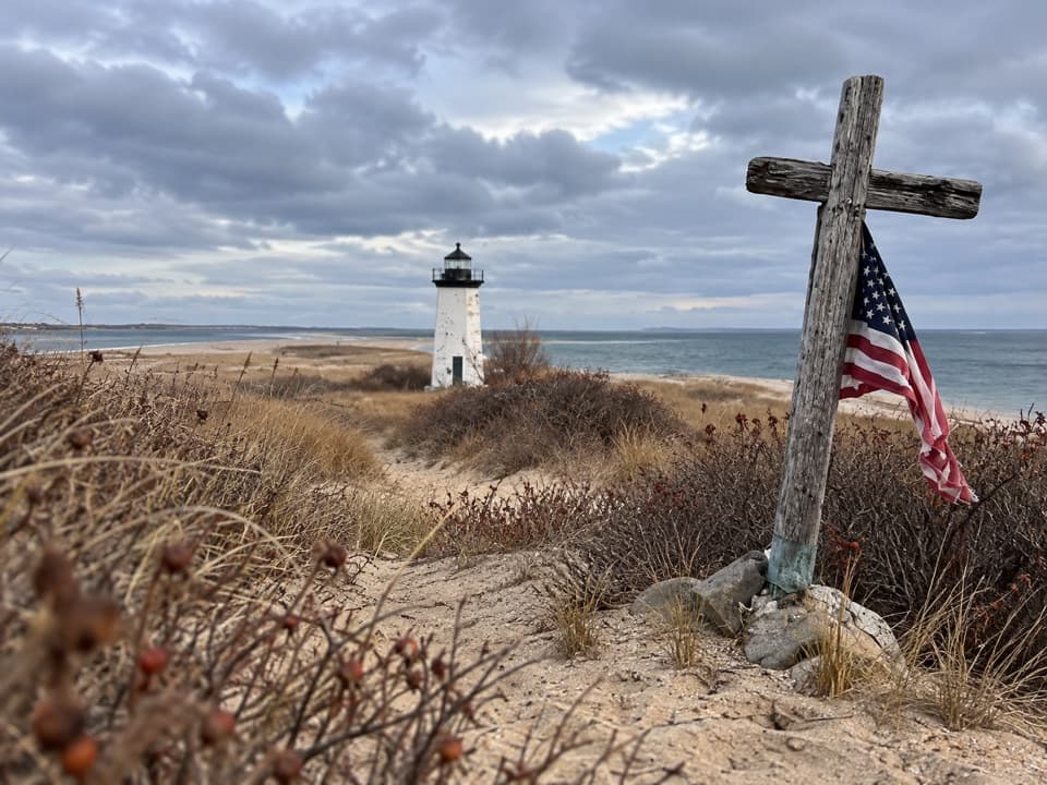 ModerateLong Point Lighthouse Trail5.5 mi · 4 hr · 1.2 mi awayA rocky dike and soft sand lead to Long Point Light.
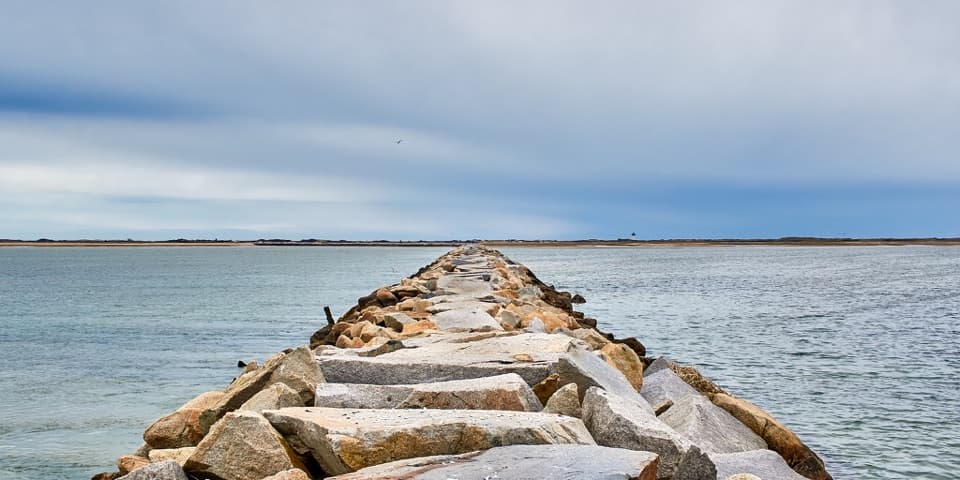 ChallengingProvincetown Causeway2.3 mi · 1.5 hr · 1.2 mi awayGranite blocks cross the harbor; the return is the same rough route.
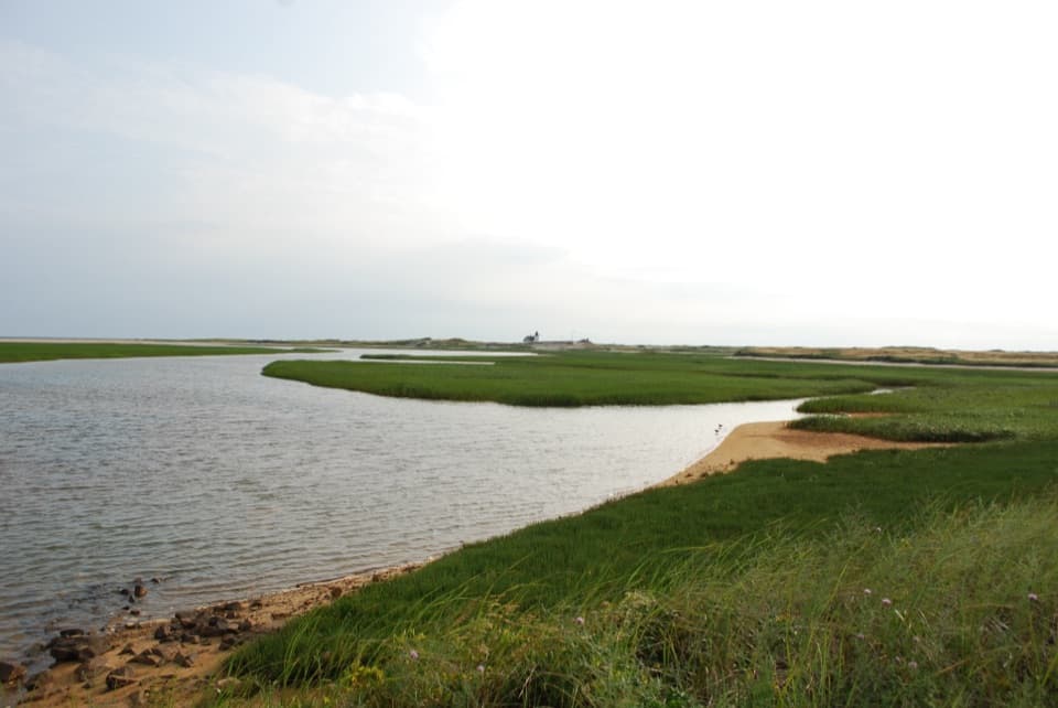 ModerateHatches Harbor Trail3.5 mi · 2.5 hr · 1.2 mi awayCross the marsh, climb the dunes, and find Race Point Light.
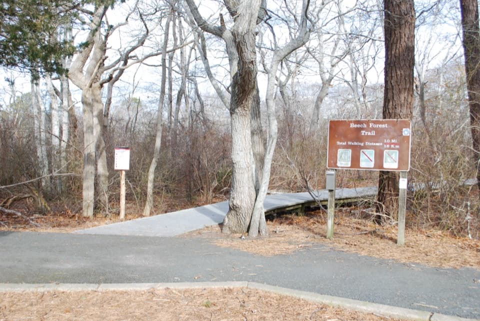 EasyBeech Forest Trail1 mi · 1 hr · 1.9 mi awayA quiet pond loop with spring birds and one steep dune climb.
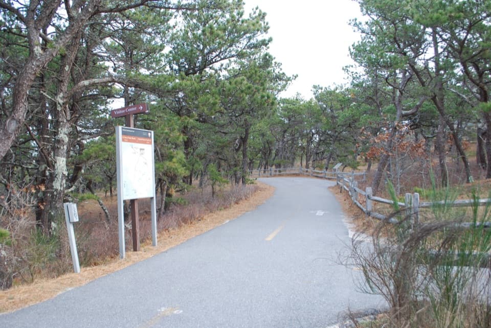 ModerateProvince Lands Bike Trail5.5 mi · 2.5 hr · 1.9 mi awayA paved 5.45-mile loop through dunes, pines, and cranberry bogs.
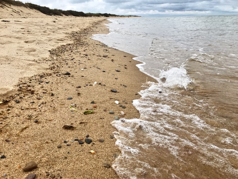 Beach · 0.1 mi awayHerring Cove BeachA west-facing beach with gentler Cape Cod Bay water and sunsets.
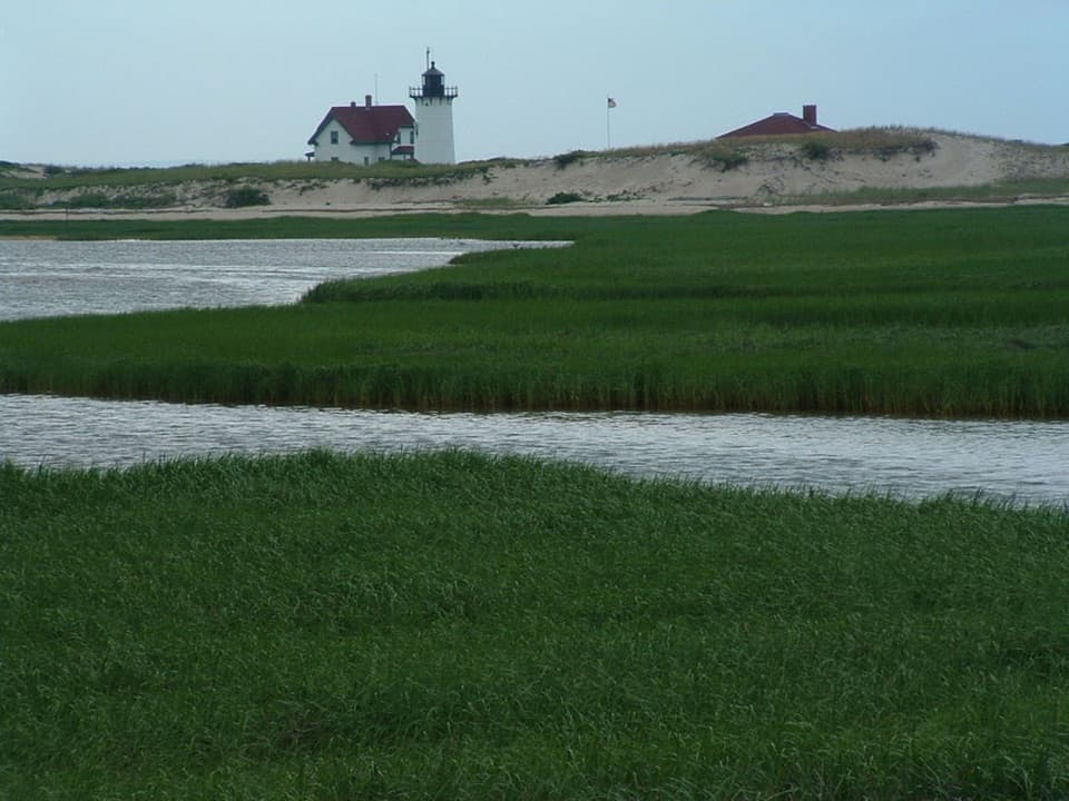 Sight · 1.8 mi awayRace Point LightA keeper's dune buggy once cut the school trip to 30 minutes.
 Picnic area · 1.9 mi awayBeech Forest Picnic AreaA picnic-table poem makes this pondside trailhead worth a pause.
 Campground · 2 mi awayDunes’ Edge CampgroundA wooded base near Cape beaches, bike trails, and Provincetown.
 Sight · 2 mi awayWood End LightA working harbor light at the end of a rough, tide-sensitive walk.
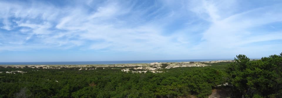 Visitor center · 2.1 mi awayProvince Lands Visitor CenterA 360-degree view makes the northern dunes click into place.
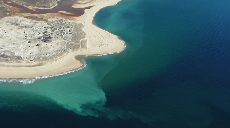 Beach · 2.4 mi awayRace Point BeachDune-backed sand, seals offshore, and sunset over open Atlantic water.
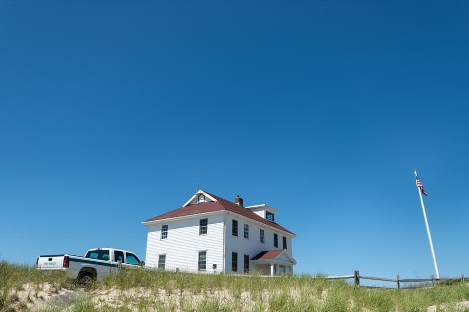 Ranger station · 2.4 mi awayRace Point Oversand Permit StationSort out your permit before taking Race Point's oversand drive.
Parkwolf’s Cape Cod ranking

The audio tour guide for the drive, plus offline maps, trails, and wildlife heatmaps for when the signal drops.