Parking
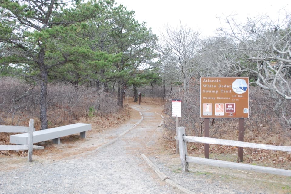
Start at the Beech Forest Parking Lot off Race Point Road, an NPS-listed trail access. The Province Lands Visitor Center is another access point; Race Point Beach and Herring Cove beach lots also connect to the route.
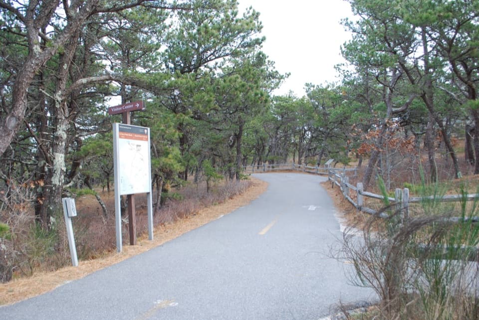
Cape Cod National Seashore, MA
A paved 5.45-mile loop through dunes, pines, and cranberry bogs.
Overview
Map & elevation
Plan your hike

The highest, rockiest slopes around here are a summer buffet for grizzly bears.
Cape Cod Tour Guide
Parkwolf is a GPS audio tour guide for Cape Cod National Seashore. As you drive, it chimes in with what’s ahead: hidden gems, upcoming stops, history, geology, and wildlife, right through your car’s speakers.
Recorded for this trailhead
Beech Forest“Beech Forest is coming up, a good stop if you'd like a pond-and-woodland walk away from the open dunes.”
Plays as you drive up to this trailhead in the Parkwolf Cape Cod Tour Guide.
More stories near here in the app
“Fantastic app with many points of information… It’s great to just turn on while you’re driving and it gives you an audio tour of the national Park. We love it!!!!”


Trail guide
Province Lands Bike Trail is a paved loop through Provincetown’s open dunes, pine woods and low cranberry bogs. It is a shared bike route that walkers can use too. On foot, allow about 2.5 hours with a few short stops. The 5.45-mile figure is for the main loop; the three named beach and pond spurs are extra.
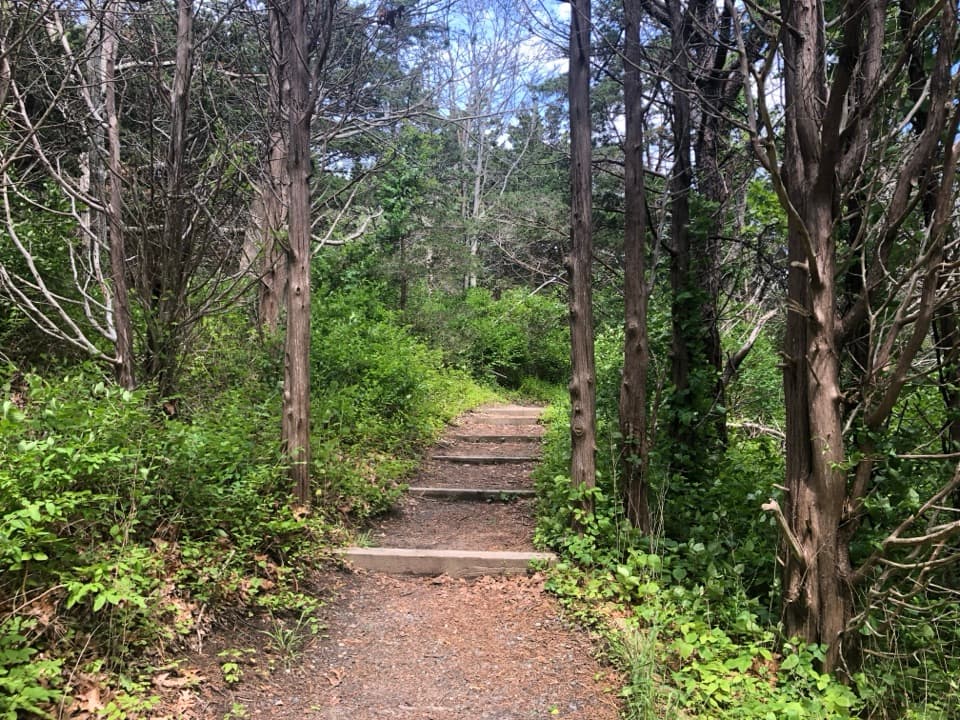
The pavement does not make this an easy, flat stroll. Expect steep pitches, sharp curves and low tunnels, with loose sand, standing water, bumps and low branches in places. Cyclists should ride single file and walk their bikes through the tunnels. Walkers should keep alert at bends and expect bikes on the same narrow path. On foot, the length and rolling terrain make this a moderate outing; on a bike, the hills and turns are the main work.
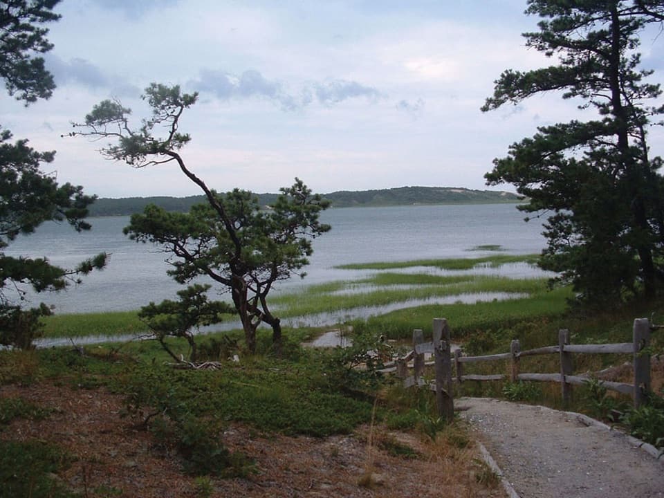
The circuit moves between pine cover, open sandy slopes and wetter low ground around cranberry bogs and ponds. These low, glacially shaped landforms sit close to a changing shoreline, so the route can feel like several Cape landscapes in one loop. Low spots can hold water, especially after wet weather.
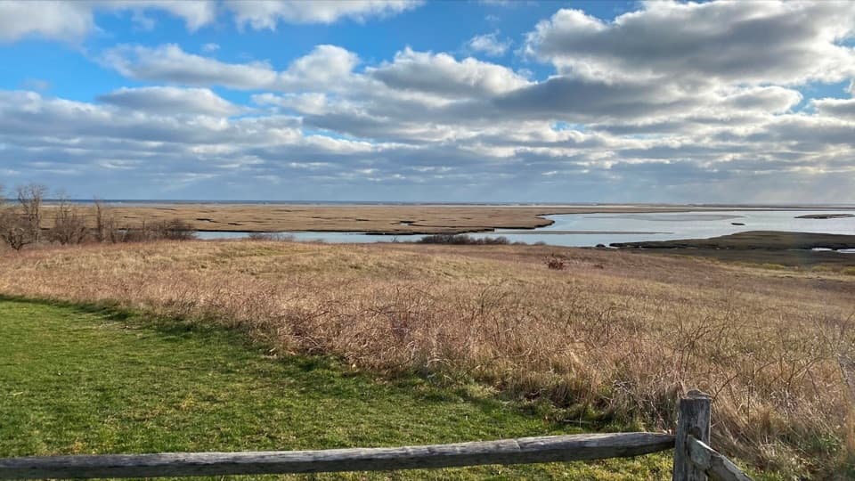
Signed branches lead toward Herring Cove Beach, Race Point Beach and Bennett Pond; they are not included in the 5.45-mile loop. Bikes are not permitted on beaches, so beach branches end at access points rather than continuing over the sand. The Province Lands Visitor Center is another access point and a useful separate stop: its outdoor deck looks across the dunes to the Outer Beach and Atlantic, a good place for a wide landscape photo.
Wildlife
 459 sightingsGray SealMost seen around 11 AMSighting map
 84 sightingsCoyoteMost seen around 6 AMSighting map
 297 sightingsRed FoxMost seen around 7 PMSighting map
 49 sightingsWhite-tailed DeerMost seen around 6 AMSighting map
 263 sightingsHorseshoe CrabMost seen around 8 PMSighting map
 73 sightingsGreat Blue HeronMost seen around 6 PMSighting map
Sighting maps show where each species has been reported across Cape Cod. Wildlife moves, so no sighting is guaranteed.
Keep exploring
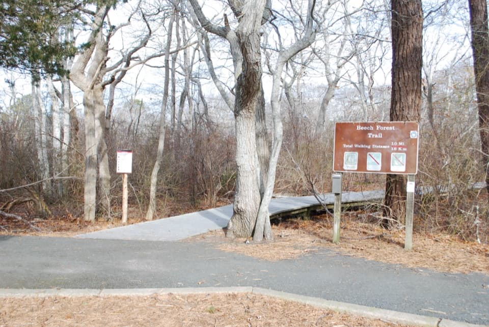 EasyBeech Forest Trail1 mi · 1 hr · At the trailheadA quiet pond loop with spring birds and one steep dune climb.
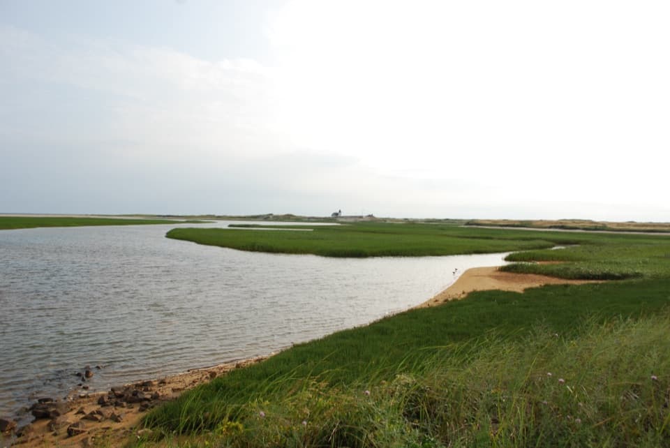 ModerateHatches Harbor Trail3.5 mi · 2.5 hr · 1.3 mi awayCross the marsh, climb the dunes, and find Race Point Light.
 ModerateWood End Lighthouse Trail3 mi · 2.5 hr · 2 mi awayA rough, tide-exposed dike leads through sand to Wood End Light.
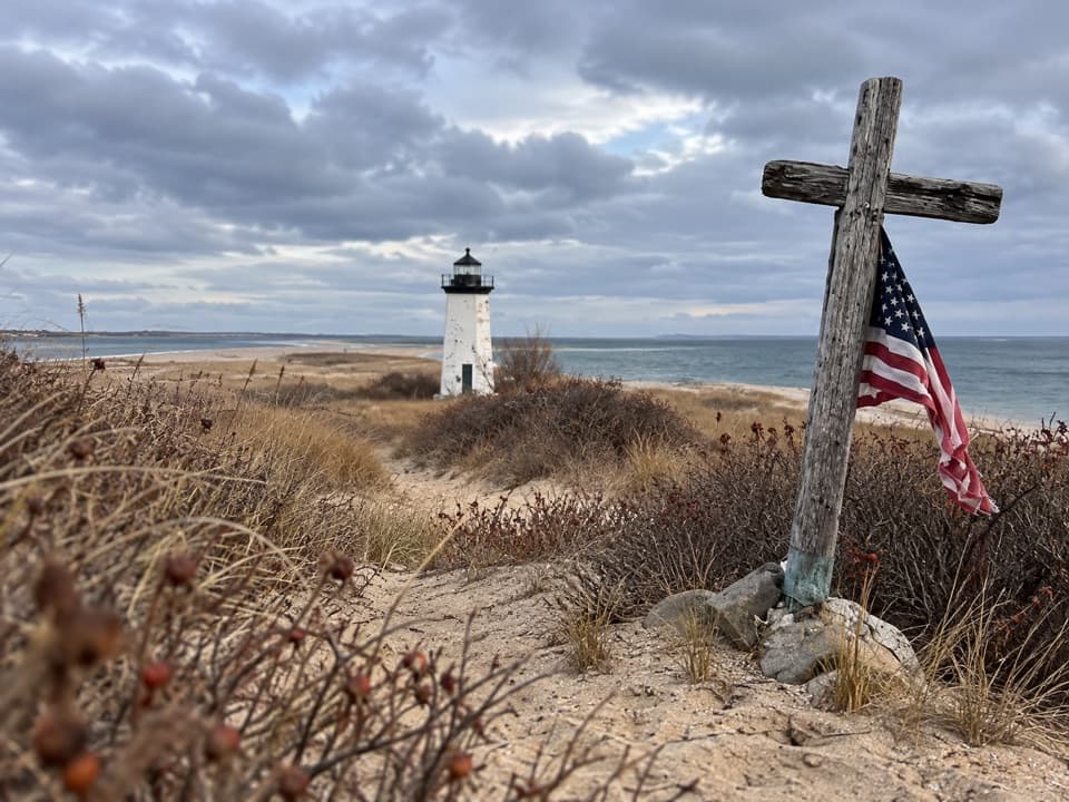 ModerateLong Point Lighthouse Trail5.5 mi · 4 hr · 2.1 mi awayA rocky dike and soft sand lead to Long Point Light.
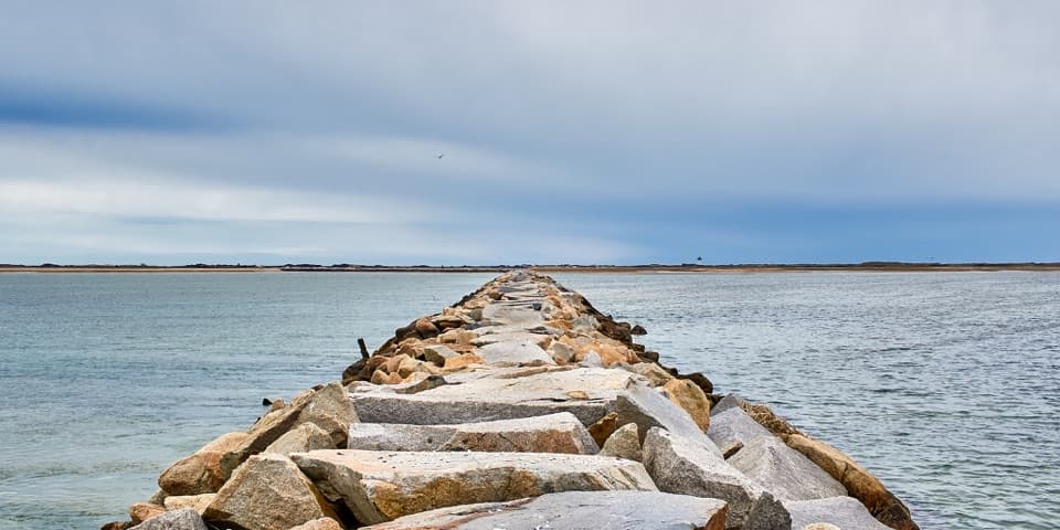 ChallengingProvincetown Causeway2.3 mi · 1.5 hr · 2.1 mi awayGranite blocks cross the harbor; the return is the same rough route.
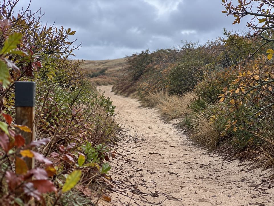 EasyHigh Head Road Trail0.9 mi · 30 min · 4.1 mi awayA short sandy path to the bay, with deep sand underfoot.
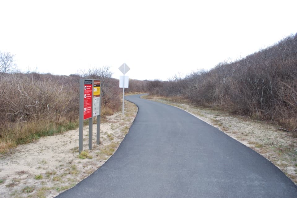 EasyHead of the Meadow Bike Trail2 mi · 30 min · 4.1 mi awayTwo paved miles through coastal woods to the beach.
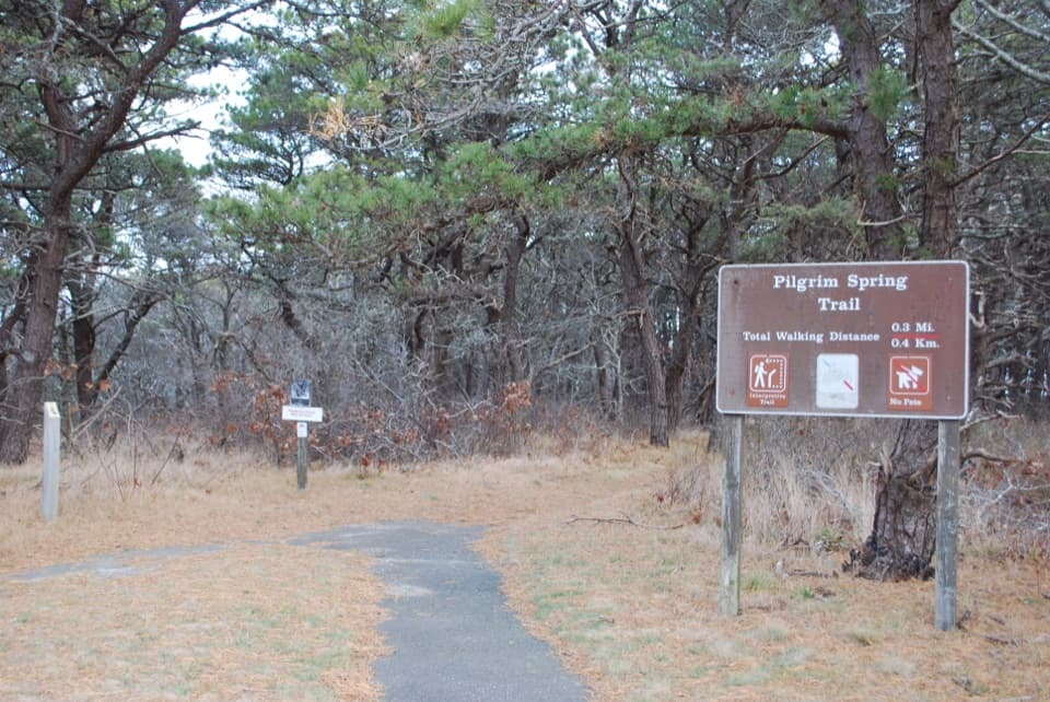 EasyPilgrim Spring Trail0.7 mi · 30 min · 4.5 mi awayA short wooded loop to a bluff view and historic spring site.
 Picnic area · At the trailheadBeech Forest Picnic AreaA picnic-table poem makes this pondside trailhead worth a pause.
 Campground · 0.5 mi awayDunes’ Edge CampgroundA wooded base near Cape beaches, bike trails, and Provincetown.
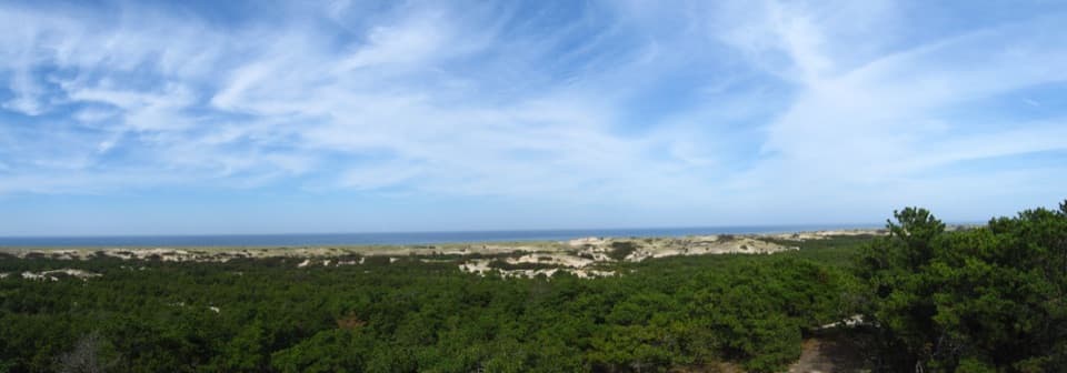 Visitor center · 0.8 mi awayProvince Lands Visitor CenterA 360-degree view makes the northern dunes click into place.
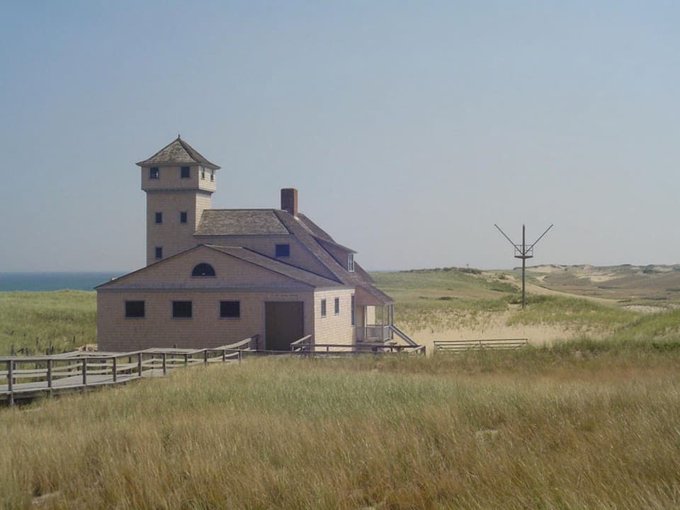 Sight · 1.5 mi awayOld Harbor Life-Saving StationRooms, boats, and a tower put the rescue work in view.
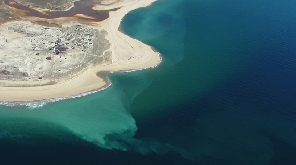 Beach · 1.5 mi awayRace Point BeachDune-backed sand, seals offshore, and sunset over open Atlantic water.
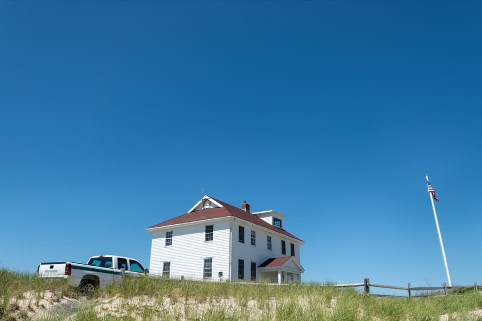 Ranger station · 1.6 mi awayRace Point Oversand Permit StationSort out your permit before taking Race Point's oversand drive.
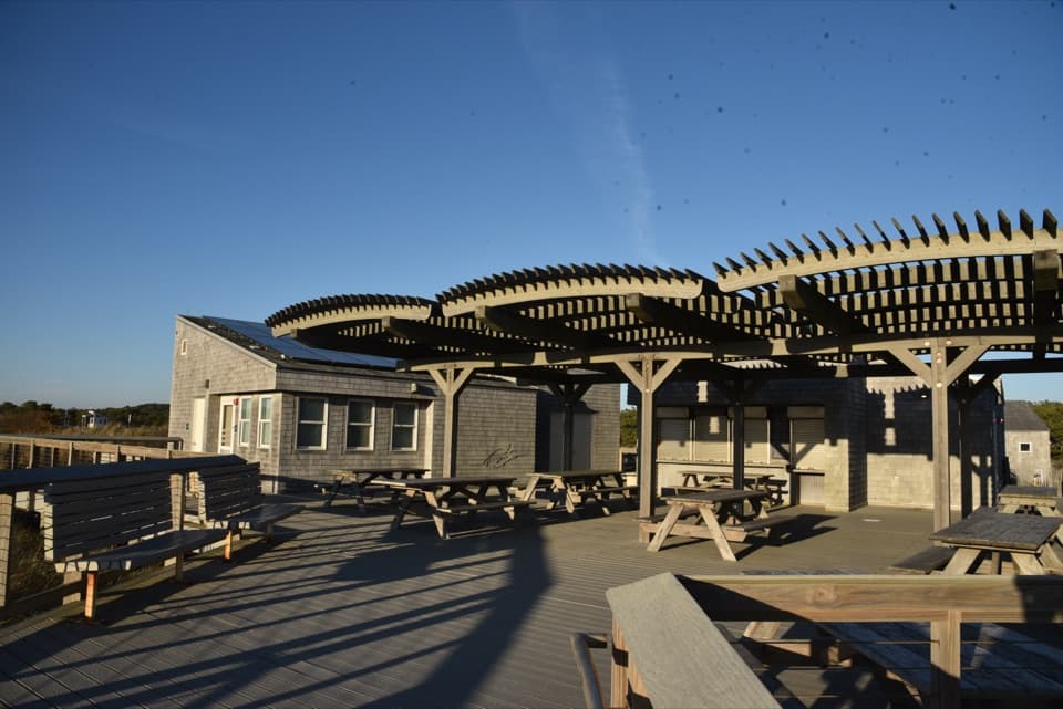 Food · 1.9 mi awayHerring Cove Snack BarA beachside concession beside the bathhouse and picnic area.
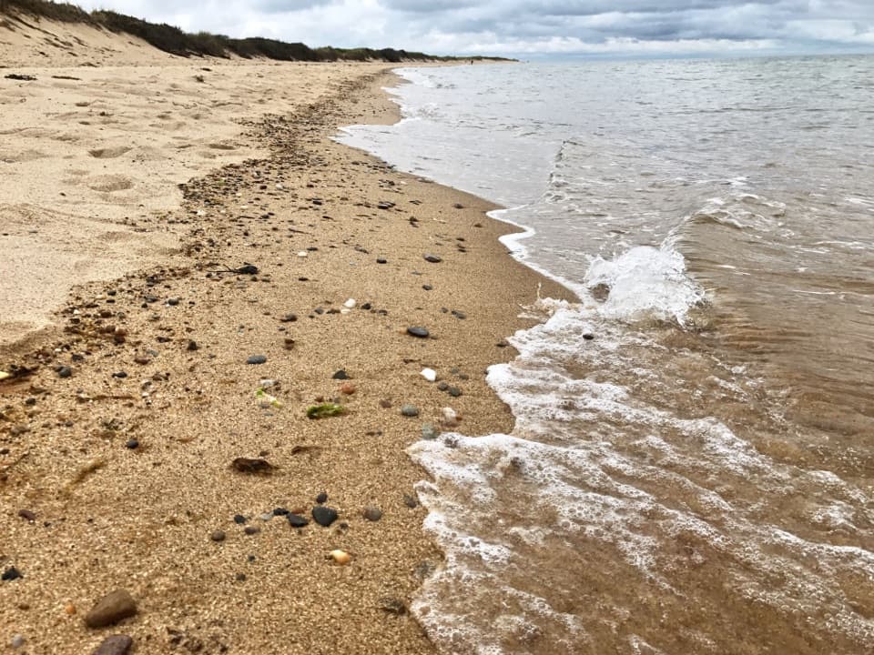 Beach · 1.9 mi awayHerring Cove BeachA west-facing beach with gentler Cape Cod Bay water and sunsets.
Parkwolf’s Cape Cod ranking

The audio tour guide for the drive, plus offline maps, trails, and wildlife heatmaps for when the signal drops.