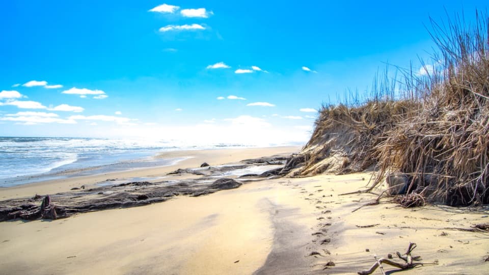
Coast Guard Beach in Cape Cod National Seashore

#2 of 35 sights in Cape Cod

Beach · Cape Cod National Seashore

Coast Guard Beach

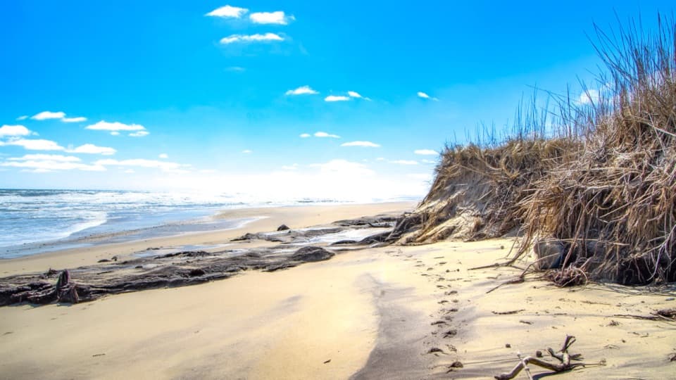
Open Atlantic sand, where the Great Beach begins.

Photo: Wikimedia Commons
Type
Beach
Nearest trail
0.6 mi
Audio stories
6 nearby
  • Parking
  • Restrooms
  • Scenic viewpoint

Hear the audio tour

Coast Guard Beach via Little Creek

Overview

About Coast Guard Beach

Why stop

  • The long, open ocean shoreline starts here.
  • The old lifesaving station gives the dunes a landmark.

Heads up

  • Summer access can mean a shuttle and a walk with gear.
  • Atlantic surf can be rough.

Map

Where it is

Loading the Cape Cod map
Full map
BeachCoast Guard Beach41.84506, -69.94716
Keep this map with you offline in the Parkwolf app

Plan your stop

Before you go

Best time to go

Harbor seals are generally seen at Nauset Spit in winter; gray seals may rest on nearby sandbars in summer. Sightings aren't guaranteed, and seals should be left alone. Nesting-bird protections can close parts of the beach and restrict pets at certain times of year, so follow posted signs and current park guidance.

3 active Cape Cod alerts

  • CautionSharks active in park waters through OctoberSharks are active in Cape Cod National Seashore waters through October; heed all beach guidelines and signage before entering the water. Check current park conditions before entering the water.Official details
  • CautionHarmful algal bloom advisories at Snows and Slough PondsDo not swim in or swallow water at Snows Pond or Slough Pond; the Town of Truro currently lists harmful algal bloom advisories at both ponds.Official details
See all 3 alerts
A park ranger sits on a dash-mounted phone, talking, as Parkwolf’s Tour Guide plays “Army Cutworm Moths: A Grizzly Bear Buffet” on Grand Loop Road below Dunraven Pass in Yellowstone
Parkwolf Tour GuideThe highest, rockiest slopes around here are a summer buffet for grizzly bears.

Cape Cod Tour Guide

Your drive to Coast Guard Beach, narrated.

Parkwolf is a GPS audio tour guide for Cape Cod National Seashore. As you drive, it chimes in with what’s ahead: hidden gems, upcoming stops, history, geology, and wildlife, right through your car’s speakers.

See the Cape Cod audio tour

Recorded for this place

Coast Guard Beach via Little Creek
0:00 / 0:31
“You're approaching the access route for Coast Guard Beach in Eastham. The shore is farther along, and in summer most visitors park at Little Creek and take the shuttle, with a walk to the water afterward.”

Plays as you drive up to Coast Guard Beach in the Parkwolf Cape Cod Tour Guide.

More stories near here in the app

  • Doane Rock and Picnic Area
  • Nauset Light and the Three Sisters
  • Salt Pond Visitor Center
  • Red Maple Swamp Trail
  • 56 audio storiesacross Cape Cod’s roads, triggered by GPS as you drive
  • Wildlife heatmapsfor Gray Seal, Coyote, Red Fox, and 13 more
  • Works offlinemaps, 32 trails, 55 places, and audio download before you lose signal
  • CarPlay readysimple controls built for the drive
★★★★★
“Fantastic app with many points of information… It’s great to just turn on while you’re driving and it gives you an audio tour of the national Park. We love it!!!!”
JMJamesApp Store review
Download Parkwolf on the App StoreGet Parkwolf on Google Play

4.7 from 8,600+ ratings

Guide

More about Coast Guard Beach

The Great Beach begins hereCoast Guard Beach is a broad Atlantic beach in Eastham, at the southern end of Cape Cod…

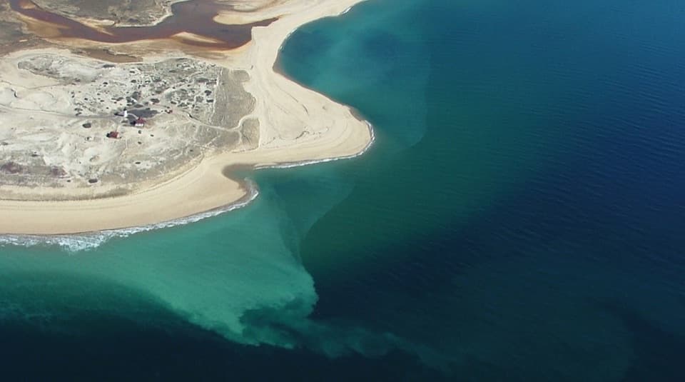
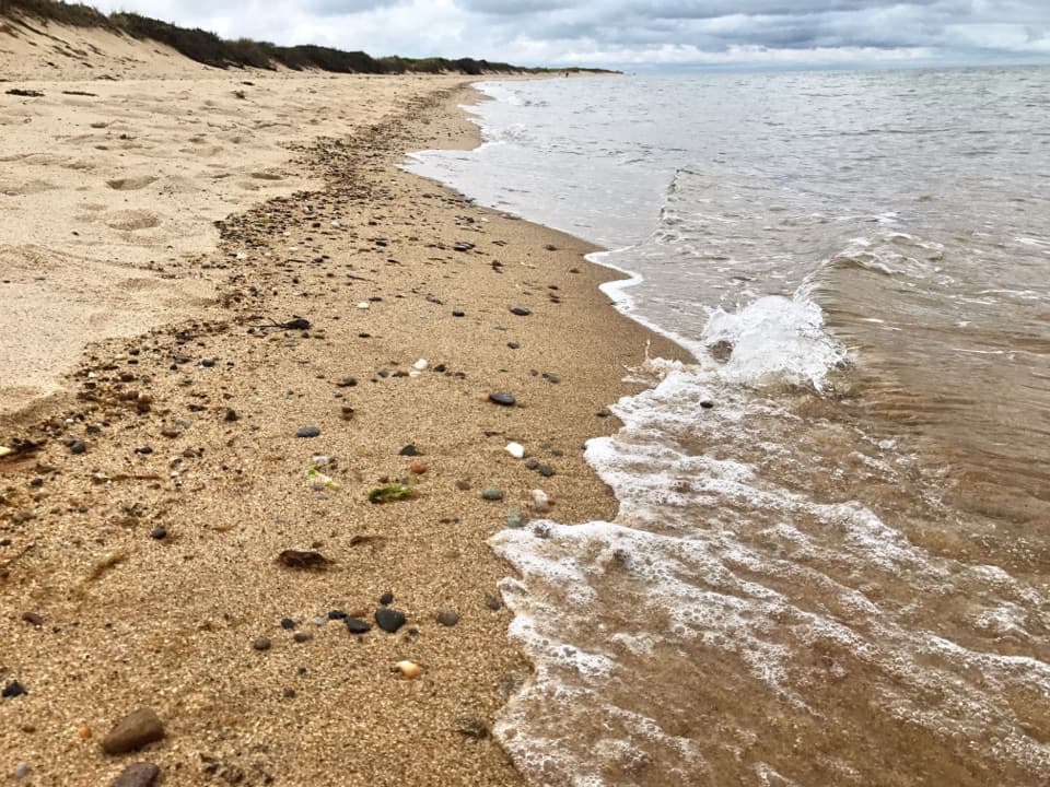
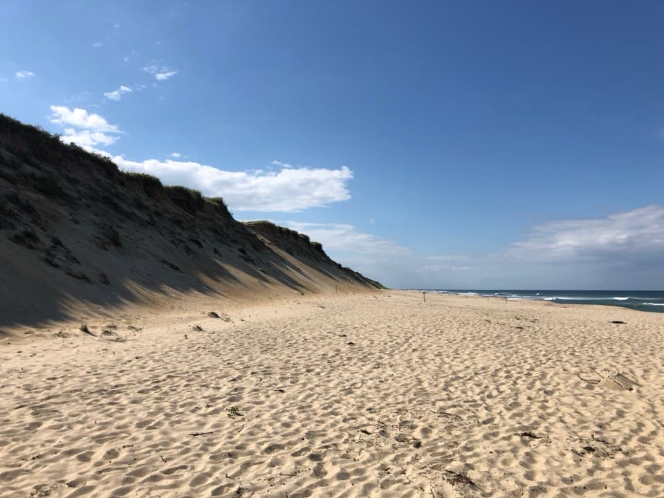
Coast Guard Beach is a broad Atlantic beach in Eastham, at the southern end of Cape Cod National Seashore. The sandy Great Beach starts here and continues north for more than 20 miles. Come to swim, walk the surf line, or spend time by the dunes, with the old white Coast Guard station on the bluff above the shore. If you want one big ocean-side stop, make time for this one. The surf can be rough, so it isn't always a calm-water beach.

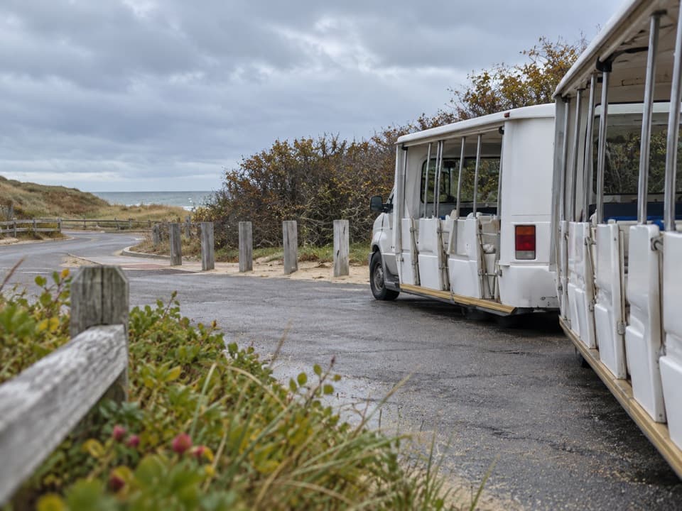
Plan for the shuttle and the walkDuring summer, most visitors park at Little Creek and take a short shuttle.

During summer, most visitors park at Little Creek and take a short shuttle. The beach lot has seasonal restrictions, so don't assume you can drive straight to the sand; direct parking there is limited to Eastham residents and vehicles displaying disability placards during the restricted season. Outside that period, the beach lot is generally available. Shuttle dates and access details vary, so check before you go. Even after the shuttle, there's a walk with gear before you reach the water. The access area has restrooms and seasonal outdoor showers; an accessible rampway and beach wheelchairs are listed, but check current availability and shuttle access if mobility matters. Bring water and snacks for a long stay; don't count on a meal stop at the beach.

Walk farther for more spaceThe main access can feel busy in summer.

The main access can feel busy in summer. If you want more room, keep walking along the shore; people spread out along the long beach. Soft sand and beach gear make the walk slower than it looks, so travel light if you're planning to go far.

A shoreline that keeps movingThis beach sits on a shifting barrier spit.

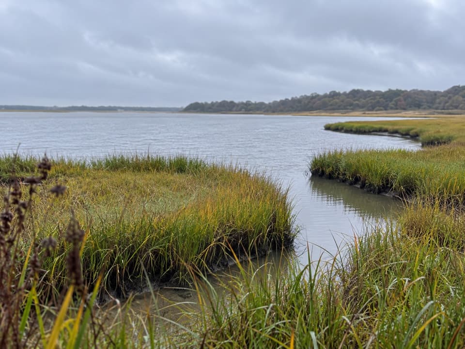
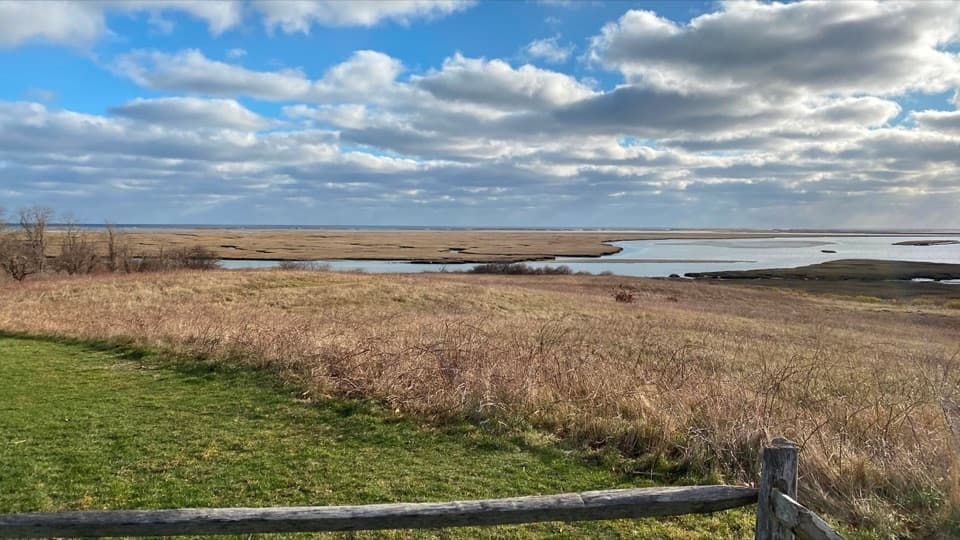
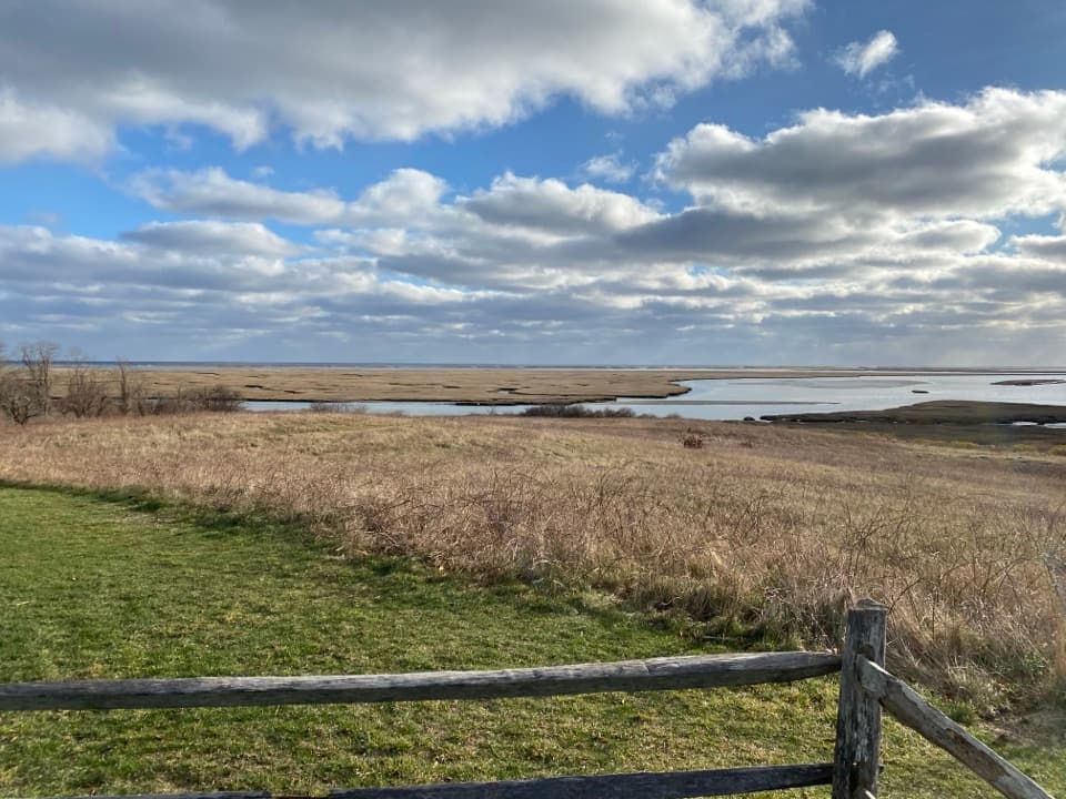
This beach sits on a shifting barrier spit. Waves and currents move sand along the coast, while storms can push sand over the spit. Beach grass catches windblown sand and helps dunes rebuild. Behind the former station, Nauset Marsh has salt-marsh grasses and tidal flats. Follow the path toward the bicycle-trail bridge for a view across the marsh; shorebirds use the flats in warmer months.

The station behind the nameThe white building on the dune is the old Coast Guard station that gave the beach its name.

The white building on the dune is the old Coast Guard station that gave the beach its name. Nauset was one of nine lifesaving stations funded for Cape Cod's ocean side in 1871. The earlier station stood about 350 yards southeast of this one; erosion forced a replacement. That earlier station served until 1937. The present building served as a Coast Guard station through 1958, then became the national seashore's first headquarters in 1961.

A Mayflower landfallThe Mayflower made landfall at what is now Coast Guard Beach on November 9, 1620, after a…

The Mayflower made landfall at what is now Coast Guard Beach on November 9, 1620, after a 65-day crossing from England. The ship anchored in Provincetown Harbor two days later. It is a striking piece of history to have on the same open shoreline where the Cape's ocean-facing shoals drove the lifesaving service.

Put the station in your photoFor a picture that says Coast Guard Beach, include the white station on its dune above a strip…

For a picture that says Coast Guard Beach, include the white station on its dune above a strip of sand and surf. That gives the open ocean shoreline a local landmark, and a little surf at the bottom helps show how much beach sits below it.

Wildlife

Wildlife in Cape Cod

All Cape Cod wildlife maps

Sighting maps show where each species has been reported across Cape Cod. Wildlife moves, so no sighting is guaranteed.

Keep exploring

Near Coast Guard Beach

See it all on the map

Trails nearby

More stops nearby

Parkwolf’s Cape Cod ranking

Top sights in Cape Cod

All 55 places
  1. 1Nauset LightSight
  2. 3Race Point BeachBeach
  3. 4Herring Cove BeachBeach
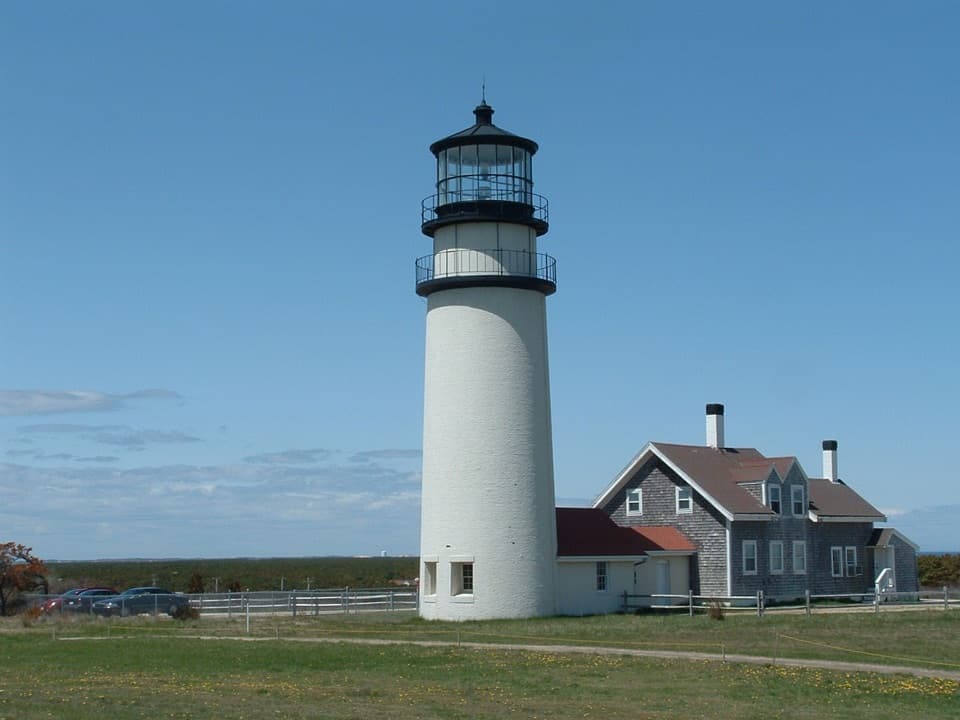
  4. 5Highland LightSight
  5. 6Marconi BeachBeach
  6. 7Fort HillSight

Take Parkwolf to Cape Cod.

The audio tour guide for the drive, plus offline maps, trails, and wildlife heatmaps for when the signal drops.

4.7 from 8,600+ ratings

Download Parkwolf on the App StoreGet Parkwolf on Google Play