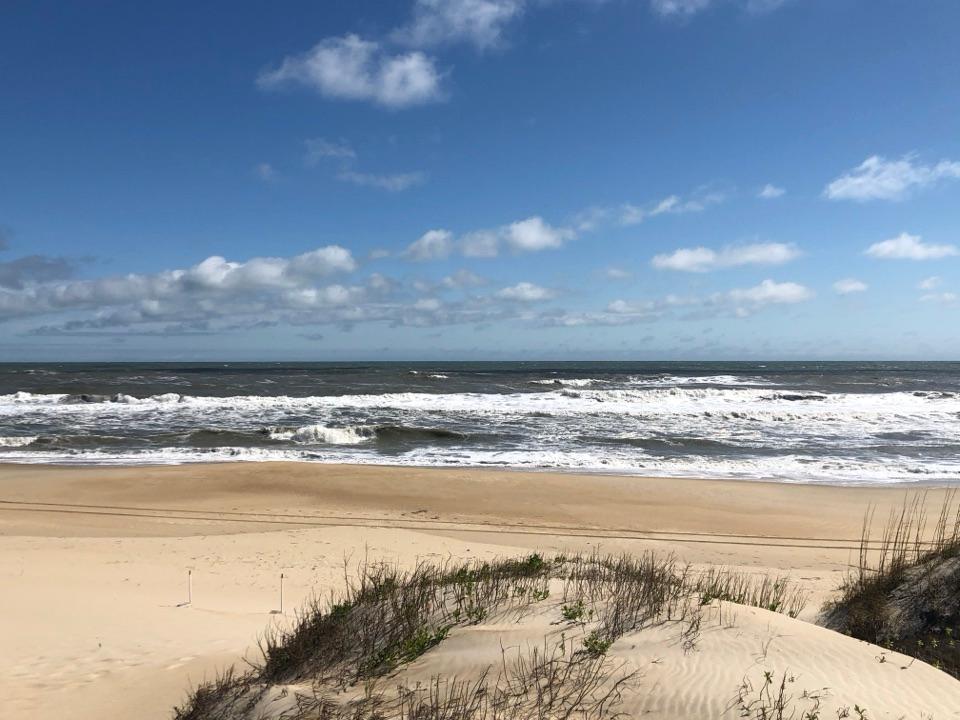
Ocracoke Beach in Cape Hatteras National Seashore

#7 of 29 sights in Cape Hatteras

Beach · Cape Hatteras National Seashore

Ocracoke Beach

A boardwalk leads to a warmer Atlantic beach with summer lifeguards.

Type
Beach
Nearest trail
0.9 mi
Audio stories
4 nearby
  • Parking
  • Restrooms

Hear the audio tour

Ocracoke Beach
Download Parkwolf on the App StoreGet Parkwolf on Google Play

4.7 from 8,600+ ratings

Overview

About Ocracoke Beach

Why stop

  • Warmer ocean water than farther north in the seashore
  • Accessible boardwalk, ramp, and rinse-off facilities

Heads up

  • Open surf can develop strong currents even when it looks calm
  • Lifeguard coverage is seasonal
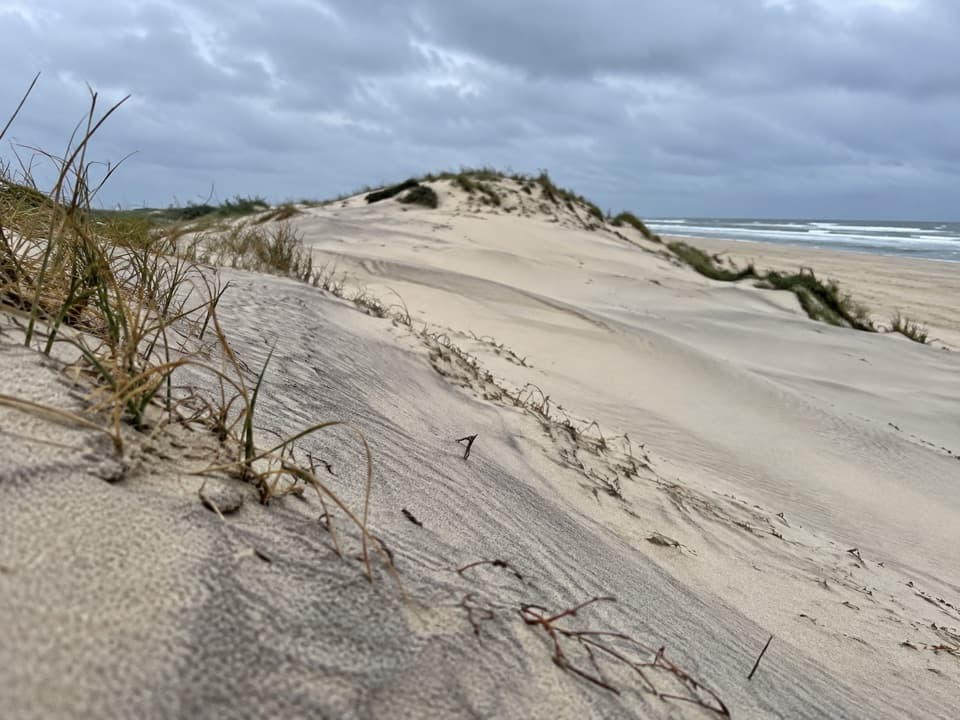
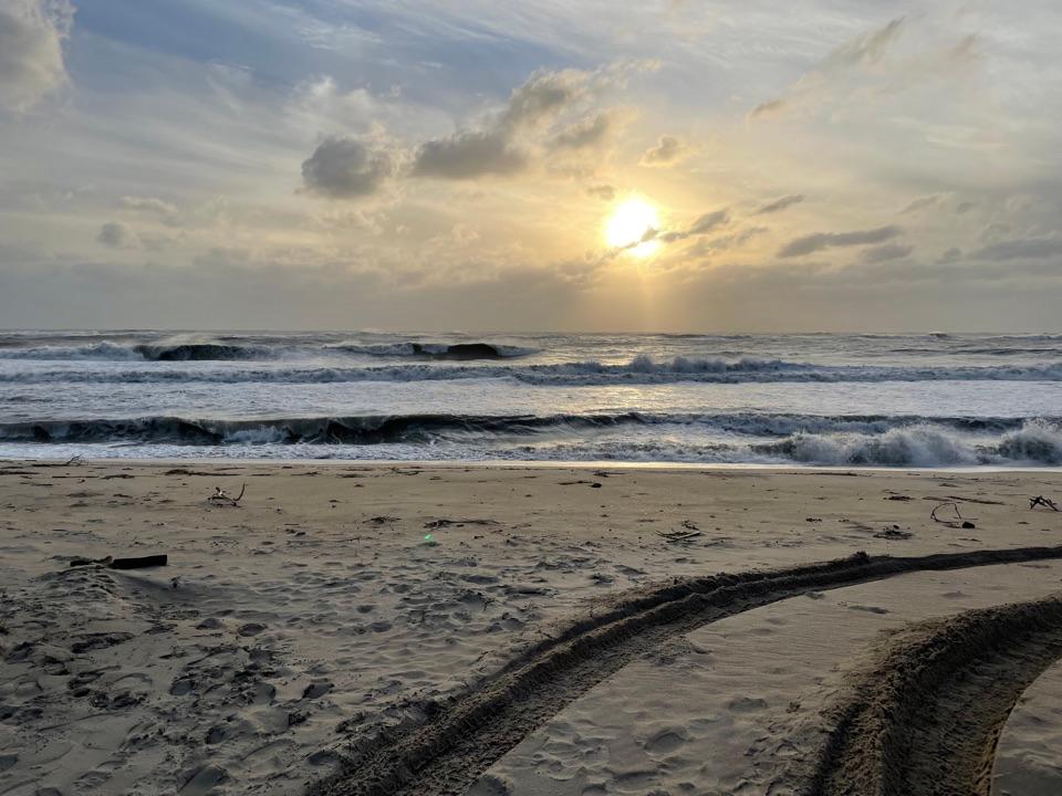
Ocracoke Beach is Cape Hatteras National Seashore’s lifeguarded Atlantic beach on Ocracoke Island. The developed access pairs an ocean shoreline with parking, a boardwalk, and practical beach facilities, so it’s the straightforward choice when you want to go from the car to the water without searching for an access point. The ocean water here runs warmer than the northern beaches in the seashore because of the Gulf Stream’s influence. That doesn’t make it calm water: you’re facing open Atlantic surf, not a sheltered sound. The reason to come is simple: straightforward beach access and a staffed swimming area in summer, when conditions allow.
Parkwolf’s verdictWhy this is the swim stop

Map

Where it is

Loading the Cape Hatteras map
Full map
BeachOcracoke Beach35.10828, -75.95395
Keep this map with you offline in the Parkwolf app

Plan your stop

Before you go

4 active Cape Hatteras alerts

  • CautionSmall Craft Advisories and Gale Warnings on coastal watersLow pressure tracking north is bringing elevated winds and seas: Small Craft Advisories are in effect through Monday morning for nearshore waters, and Gale Warnings are in effect through Sunday…Official details
  • ClosureBilly Mitchell Airport closed for runway rehabilitationBilly Mitchell Airport (HSE) is closed for a runway pavement rehabilitation project.Official details
See all 4 alerts
A park ranger sits on a dash-mounted phone, talking, as Parkwolf’s Tour Guide plays “Army Cutworm Moths: A Grizzly Bear Buffet” on Grand Loop Road below Dunraven Pass in Yellowstone
Parkwolf Tour GuideThe highest, rockiest slopes around here are a summer buffet for grizzly bears.

Cape Hatteras Tour Guide

Your drive to Ocracoke Beach, narrated.

Parkwolf is a GPS audio tour guide for Cape Hatteras National Seashore. As you drive, it chimes in with what’s ahead: hidden gems, upcoming stops, history, geology, and wildlife, right through your car’s speakers.

Recorded for this place

Ocracoke Beach
0:00 / 0:32
“Up ahead is Ocracoke Beach, the island's developed Atlantic swim access. A boardwalk takes you about 150 yards from parking to the sand, with showers and a ramp at the entrance.”

Plays as you drive up to Ocracoke Beach in the Parkwolf Cape Hatteras Tour Guide.

More stories near here in the app

  • Four Graves From the Atlantic War
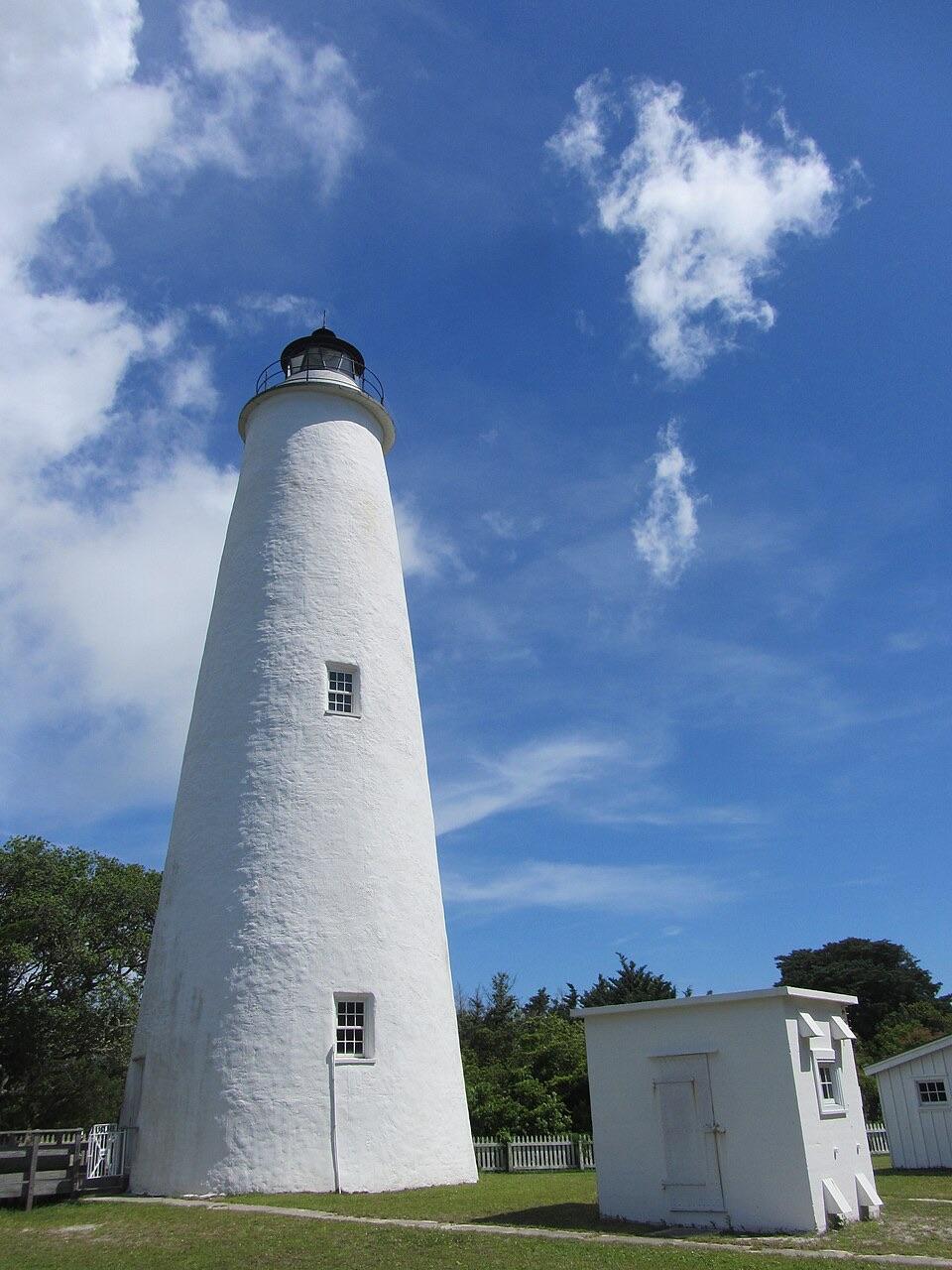
  • Ocracoke Lighthouse
  • Ocracoke Village Discovery Center and Museum
  • Hammock Hills Trail
  • 67 audio storiesacross Cape Hatteras’s roads, triggered by GPS as you drive
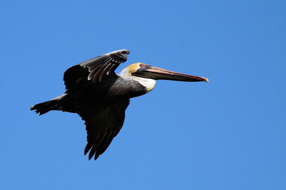
  • Wildlife heatmapsfor Brown Pelican, Tamanend's Bottlenose Dolphin, Bald Eagle, and 13 more
  • Works offlinemaps, 11 trails, 38 places, and audio download before you lose signal
  • CarPlay readysimple controls built for the drive
★★★★★
“Fantastic app with many points of information… It’s great to just turn on while you’re driving and it gives you an audio tour of the national Park. We love it!!!!”
JMJamesApp Store review
Download Parkwolf on the App StoreGet Parkwolf on Google Play

4.7 from 8,600+ ratings

Guide

More about Ocracoke Beach

From the lot to the waterA boardwalk leads from the parking area to the beach; the walk is about 150 yards.

A boardwalk leads from the parking area to the beach; the walk is about 150 yards. It’s short enough for an easy swim stop, but long enough to notice if you’re carrying a lot of gear. The access has parking for cars, buses or RVs, and boat trailers, plus a bicycle rack. You’ll also find an accessible restroom, showers, a bottle-filling station, and a ramp down to the sand. The boardwalk and ramp make the entrance more workable for visitors who need step-free access. They get you onto the beach; the loose sand beyond the access is still loose sand, so don’t assume the route carries across the whole shore.

Read the surf before swimmingWatch a few sets before going in.

Watch a few sets before going in. Wind, tide, and beach slope can create strong currents even when the surface looks calm. The breakers are useful to notice: slow, rolling waves suggest a shallow slope offshore, while tall, plunging breakers can signal a steep drop just beyond the beach. Those cues help you read the water, but they’re not a substitute for lifeguard direction or current conditions. Guards staff this beach daily from Memorial Day weekend through Labor Day. Outside that seasonal window, you can still come to the shore, but you won’t have a staffed swimming area. If lifeguard coverage matters, plan around the summer season and check current park guidance before you go.

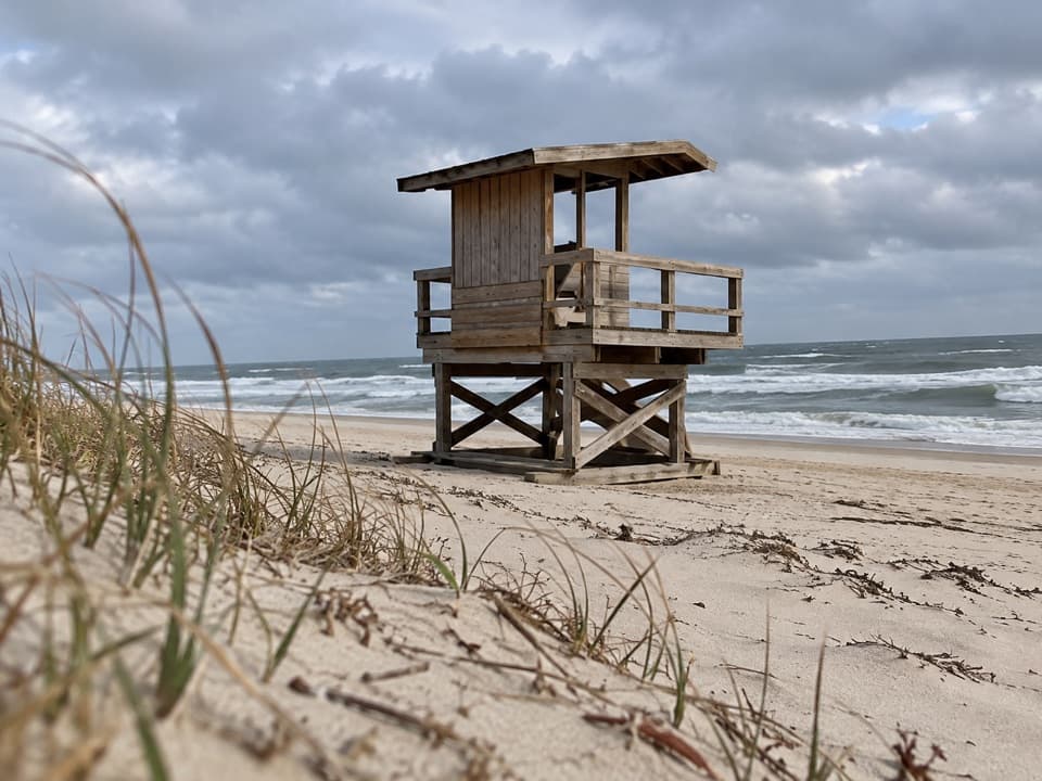
Know the tradeoffThis is an open ocean beach, not a sheltered swimming pool.

This is an open ocean beach, not a sheltered swimming pool. Rough surf and rip currents can make swimming dangerous, and even waves at the shore can knock you down. If conditions are rough, enjoy a walk and watch the water instead. Come for the easy access and summer services, but check current conditions and lifeguard coverage before counting on a swim.

Wildlife

Wildlife in Cape Hatteras

All Cape Hatteras wildlife maps

Sighting maps show where each species has been reported across Cape Hatteras. Wildlife moves, so no sighting is guaranteed.

Parkwolf’s Cape Hatteras ranking

Top sights in Cape Hatteras

All 38 places
  1. 1Cape Hatteras LighthouseSight
  2. 2Bodie Island LighthouseSight
  3. 3Ocracoke LighthouseSight
  4. 4Cape PointBeach
  5. 5Coquina BeachBeach
  6. 6Bonner Bridge PierSight

Take Parkwolf to Cape Hatteras.

The audio tour guide for the drive, plus offline maps, trails, and wildlife heatmaps for when the signal drops.

4.7 from 8,600+ ratings

Download Parkwolf on the App StoreGet Parkwolf on Google Play