Parking
Use the Bodie Island Lighthouse parking area; the trail entrance is at the south end of the lot.
#6 of 11 trails in Cape Hatteras
Cape Hatteras National Seashore, NC
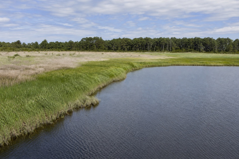
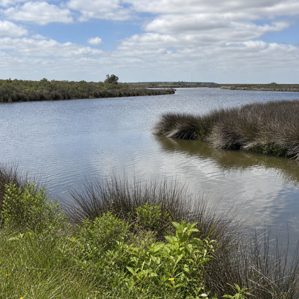
A flat gravel road opens onto marsh and Roanoke Sound.
Overview
Map & elevation
Plan your hike

The highest, rockiest slopes around here are a summer buffet for grizzly bears.
Cape Hatteras Tour Guide
Parkwolf is a GPS audio tour guide for Cape Hatteras National Seashore. As you drive, it chimes in with what’s ahead: hidden gems, upcoming stops, history, geology, and wildlife, right through your car’s speakers.
Recorded for this trailhead
Bodie Island Lighthouse and Marsh“You're approaching Bodie Island Lighthouse, where the striped tower rises above pines and freshwater marsh.”
Plays as you drive up to this trailhead in the Parkwolf Cape Hatteras Tour Guide.
More stories near here in the app
“Fantastic app with many points of information… It’s great to just turn on while you’re driving and it gives you an audio tour of the national Park. We love it!!!!”


Trail guide
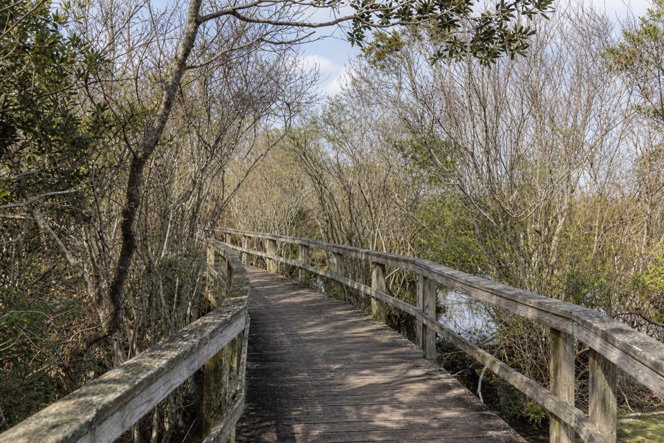
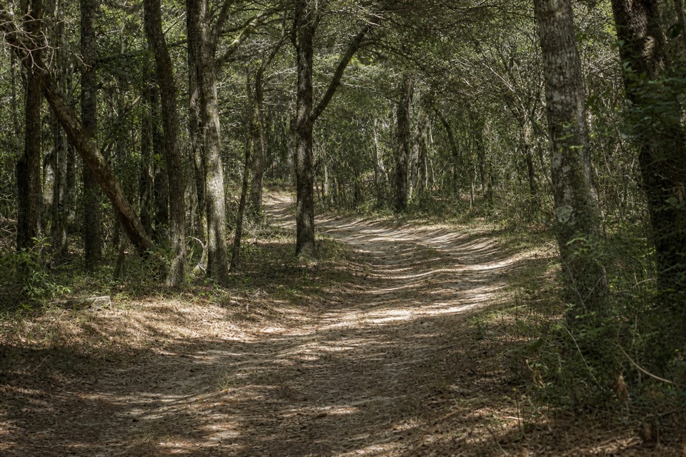
Off-Island Trail is a flat, gravel-road out-and-back from the south end of the Bodie Island Lighthouse parking area to a view of Roanoke Sound. The complete mapped road is about 0.31 miles each way, or 0.62 round trip; published figures round it to 0.5 mile. Allow about 30 minutes. Take it for a ground-level look across the marsh and sound, not for a climb or a long wander. The separate lighthouse boardwalk and nature trail are a different stop.
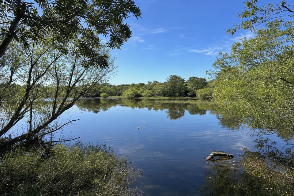
An old dirt road crosses low marsh habitat. Its gravel surface and nearly level profile make the walking easy: the mapped route stays within about two meters of elevation, with no meaningful climb. It is one straightforward corridor, not a loop, and you return the same way. The main change comes at the far end, where the land opens to a view over Roanoke Sound. The marsh belongs to the Pamlico-Albemarle Sound System, an estuary where eelgrass shelters eggs and young marine life. Fed by the ocean and mainland rivers, the sound mixes salt and fresh water. That gives the short walk a little more to notice than a bare turnaround. For a photo, frame the water between foreground marsh grass and the flat shoreline beyond; it adds depth to an otherwise level view.
Park in the Bodie Island Lighthouse lot and head to its south end for the trail entrance. The light-station complex lists accessible restrooms and drinking water; those facilities are at the access area, not along the gravel road. Dogs are allowed on the hiking trails with a leash no longer than six feet. If you are already stopping at the lighthouse, this is an easy half-hour addition for a closer look at the marsh. The lighthouse boardwalk stays near the station and is a separate walk, so choose it for the tower grounds and this one for the sound-side wetland.
Wildlife
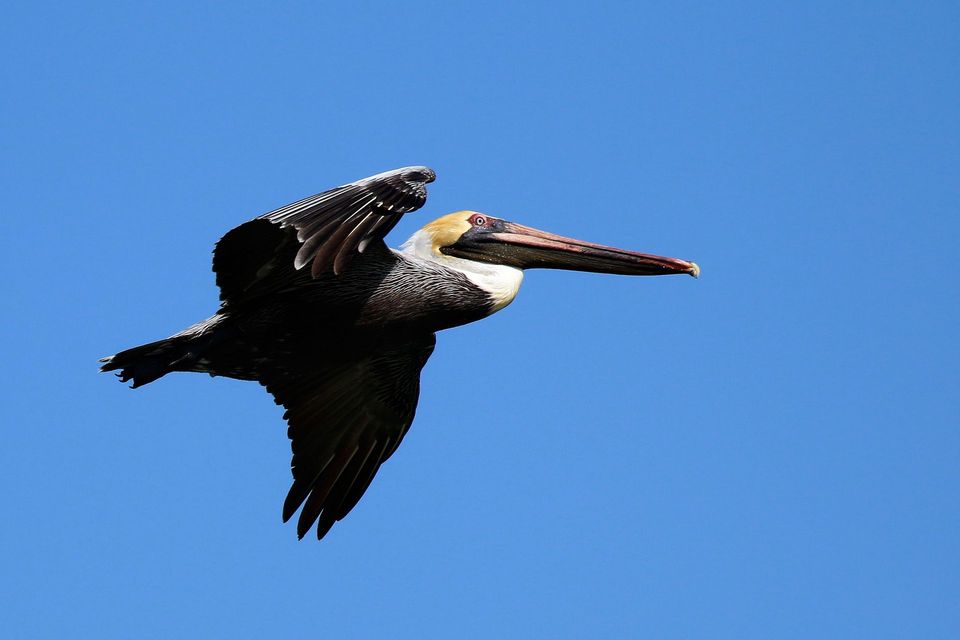 489 sightingsBrown PelicanMost seen around 8 AMSighting map
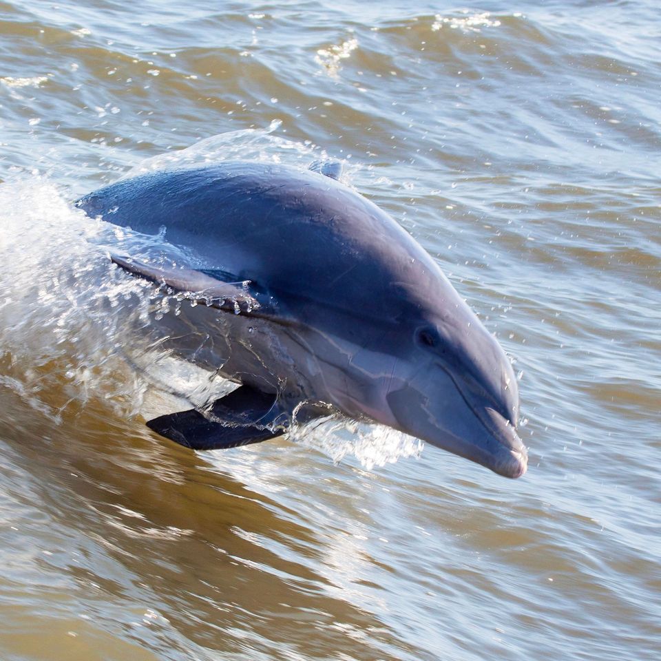 64 sightingsTamanend's Bottlenose DolphinMost seen around 7 AMSighting map
 35 sightingsBald EagleMost seen around 8 AMSighting map
 225 sightingsWhite-tailed DeerMost seen around 7 AMSighting map
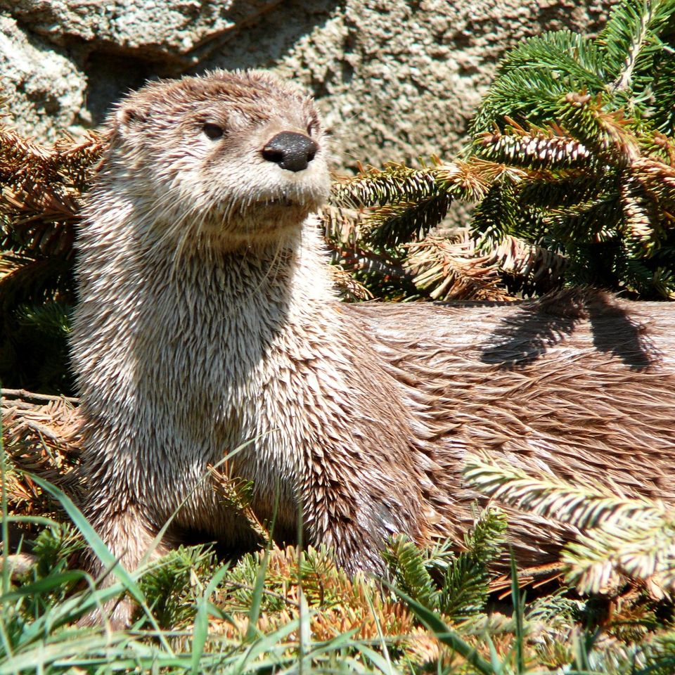 59 sightingsRiver OtterMost seen around 7 PMSighting map
 112 sightingsOspreyMost seen around 8 AMSighting map
Sighting maps show where each species has been reported across Cape Hatteras. Wildlife moves, so no sighting is guaranteed.
Keep exploring
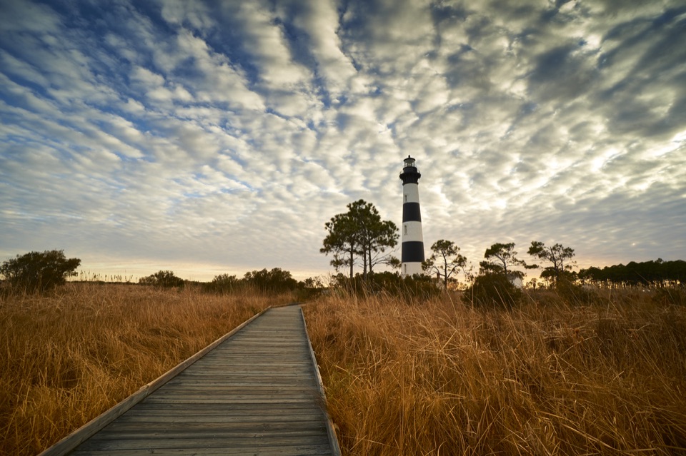 Sight · 0.1 mi awayBodie Island LighthouseA striped lighthouse above the marsh, with a climb worth the stairs.
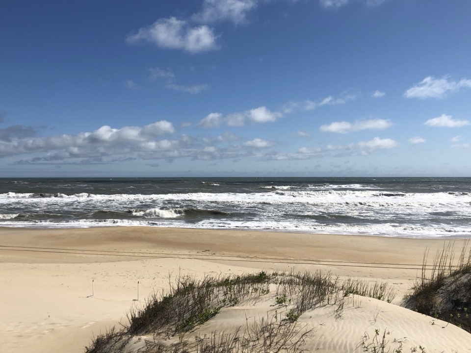 Beach · 1.2 mi awayCoquina BeachA dune boardwalk opens onto the Atlantic at this summer swim beach.
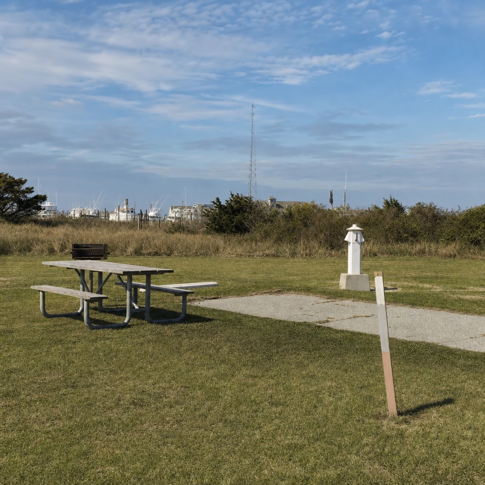 Campground · 1.7 mi awayOregon Inlet CampgroundOpen sites, nearby surf, and a dune walk between camp and beach.
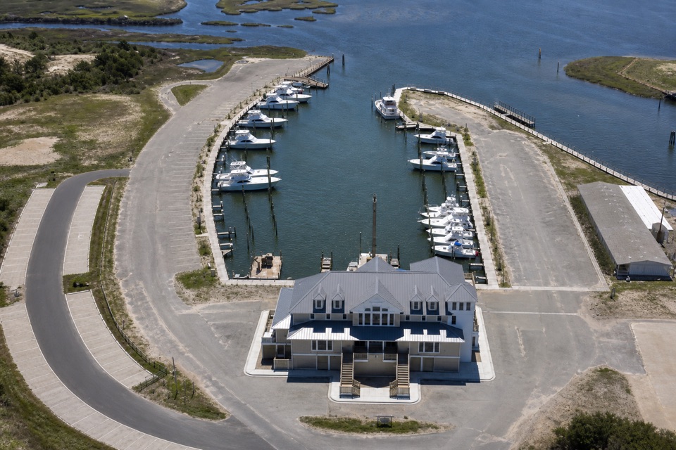 Sight · 1.7 mi awayOregon Inlet Fishing CenterA working charter marina you can visit without booking a trip.
 Sight · 4.1 mi awayBonner Bridge PierA 1,046-foot remnant reaches out into Oregon Inlet.
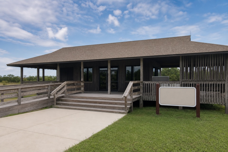 Visitor center · 6.3 mi awayWhalebone Junction Information CenterMaps, beach updates and a short walk to an 1848 survey marker.
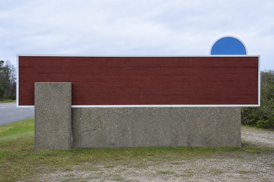 Sight · 6.4 mi awayCape Hatteras National Seashore Welcome SignA roadside marker for the seashore’s northern approach
Parkwolf’s Cape Hatteras ranking

The audio tour guide for the drive, plus offline maps, trails, and wildlife heatmaps for when the signal drops.