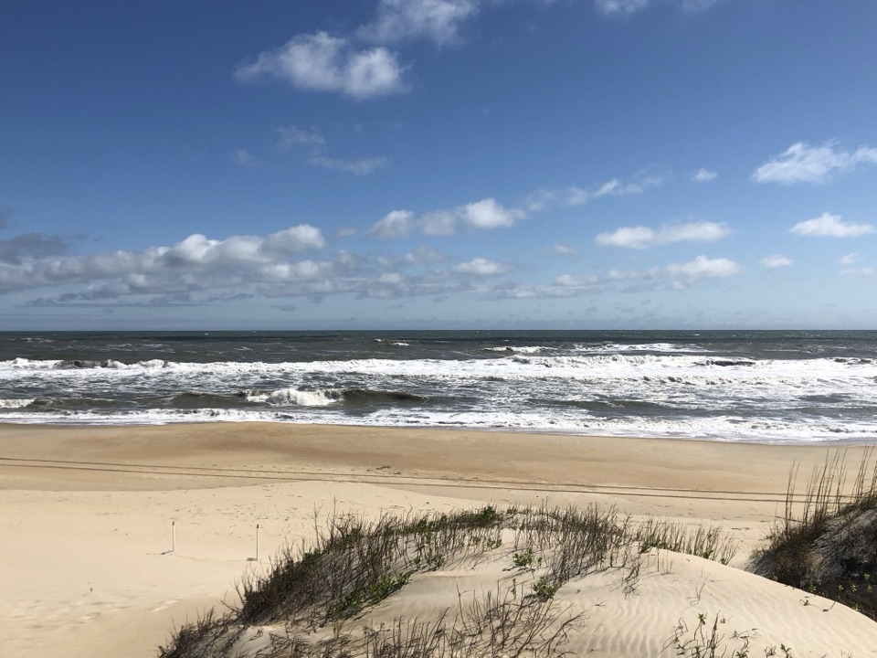
Hatteras Island Weather Bureau Station in Cape Hatteras National Seashore

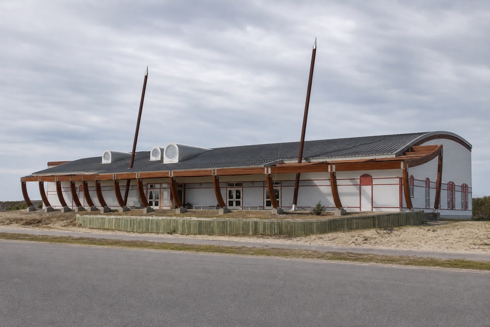
Visitor center · Cape Hatteras National Seashore

Hatteras Island Weather Bureau Station

A small station that carried urgent warnings to Hatteras mariners.

Type
Visitor center
Audio stories
4 nearby

Hear the audio tour

Hatteras Island Weather Bureau Station

Overview

About Hatteras Island Weather Bureau Station

Why stop

  • A distinctive historic stop with a documented Titanic wireless connection.

Map

Where it is

Loading the Cape Hatteras map
Full map
Visitor centerHatteras Island Weather Bureau Station35.22027, -75.69042
Keep this map with you offline in the Parkwolf app

Plan your stop

Before you go

6 active Cape Hatteras alerts

  • ClosurePartial beach closures in front of Buxton VillageSections of beachfront in front of Buxton Village are temporarily closed. - The closure is due to threatened oceanfront structures and Dare County’s beach nourishment project.Official details
  • ClosurePartial beach closure in northern RodantheThe beach from the northern boundary of Rodanthe to the Rodanthe pier is closed to all access. - The closure is required because multiple threatened oceanfront structures pose risks to public safety.Official details
See all 6 alerts
A park ranger sits on a dash-mounted phone, talking, as Parkwolf’s Tour Guide plays “Army Cutworm Moths: A Grizzly Bear Buffet” on Grand Loop Road below Dunraven Pass in Yellowstone
Parkwolf Tour GuideThe highest, rockiest slopes around here are a summer buffet for grizzly bears.

Cape Hatteras Tour Guide

Your drive to Hatteras Island Weather Bureau Station, narrated.

Parkwolf is a GPS audio tour guide for Cape Hatteras National Seashore. As you drive, it chimes in with what’s ahead: hidden gems, upcoming stops, history, geology, and wildlife, right through your car’s speakers.

Recorded for this place

Hatteras Island Weather Bureau Station
0:00 / 0:32
“Up ahead is the Hatteras Island Weather Bureau Station, a small building with a remarkable wireless connection.”

Plays as you drive up to Hatteras Island Weather Bureau Station in the Parkwolf Cape Hatteras Tour Guide.

More stories near here in the app

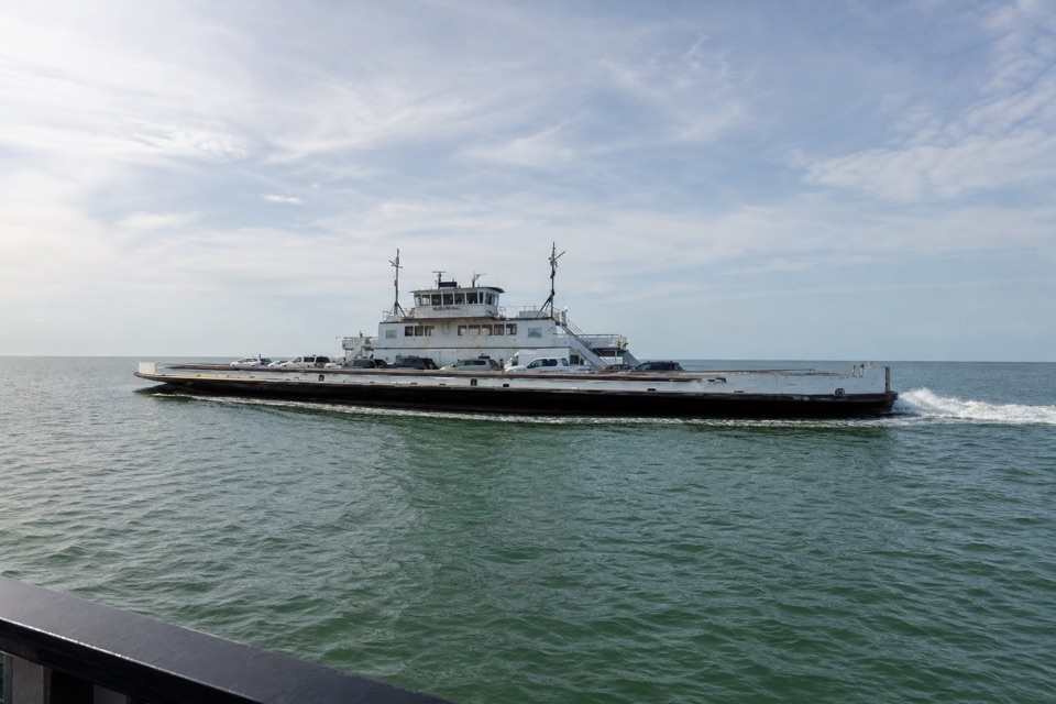
  • Graveyard of the Atlantic Museum and Hatteras Ferry
  • The Monitor Met a Winter Storm
  • Sandy Bay Sound and Ocean Access
  • Frisco Beach
  • 67 audio storiesacross Cape Hatteras’s roads, triggered by GPS as you drive
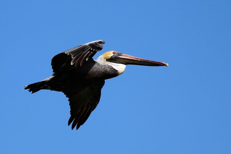
  • Wildlife heatmapsfor Brown Pelican, Tamanend's Bottlenose Dolphin, Bald Eagle, and 13 more
  • Works offlinemaps, 11 trails, 35 places, and audio download before you lose signal
  • CarPlay readysimple controls built for the drive
★★★★★
“Fantastic app with many points of information… It’s great to just turn on while you’re driving and it gives you an audio tour of the national Park. We love it!!!!”
JMJamesApp Store review
Download Parkwolf on the App StoreGet Parkwolf on Google Play

4.7 from 8,600+ ratings

Guide

More about Hatteras Island Weather Bureau Station

A working weather stationHatteras Island Weather Bureau Station is a restored wood-frame historic site on Kohler Road in…

Hatteras Island Weather Bureau Station is a restored wood-frame historic site on Kohler Road in Hatteras Village. Completed in 1901 and first occupied on January 1, 1902, it operated as a weather bureau until 1946. The building has been restored to its 1901 appearance and now serves as an information center through a partnership between the National Park Service and the Outer Banks Visitors Bureau. It is a short stop, but its story reaches well beyond this one building.

When every minute matteredHatteras sits near the meeting waters of the Gulf Stream and Labrador Current, where storms…

Hatteras sits near the meeting waters of the Gulf Stream and Labrador Current, where storms could threaten coastal ships and communities. Before modern warning systems, observers used flags and sirens to alert residents and mariners; at times, they had only hours or minutes. A restored coastal-warning signal tower now stands beside the station, bringing that history into view.

The station’s original plan reflects the work: seven rooms on the first floor, with an observation room and office above and a ship’s ladder leading to a roof walk. There’s a Titanic connection, too. The National Park Service says a wireless distress message from Titanic was received here; a copy was found in a wall during a 2009 restoration. The Park Service can confirm the message reached Hatteras, but can’t trace what happened afterward. Claims that station staff relayed it onward go beyond the evidence.

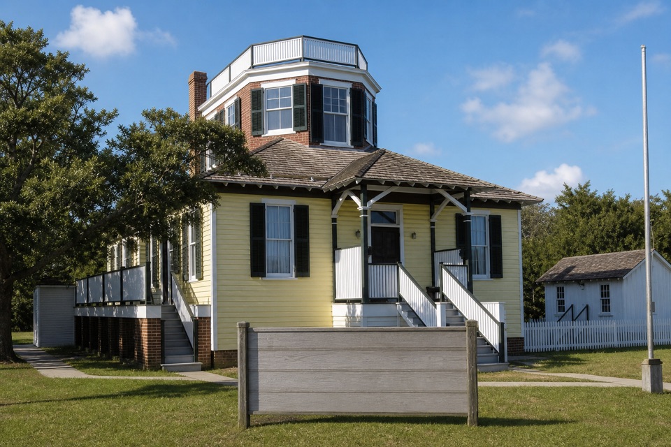
Make it a quick stopThe present-day use is a welcome and information center, not a large museum.

The present-day use is a welcome and information center, not a large museum. The station stands at the intersection of Kohler and Saxton Cut streets, at 57190 Kohler Road. For a photo, frame the upper observation room and long porch together; the station’s compact working layout is easiest to read from the front.

If you want to see inside, check current access before planning around a tour. The park identifies the building as an information center, while an older local listing says visitors can see the interior; current access to the historic rooms isn’t clear. This is a good fit if you’re already in Hatteras Village and curious about how weather warnings worked on the Outer Banks.

Wildlife

Wildlife in Cape Hatteras

All Cape Hatteras wildlife maps

Sighting maps show where each species has been reported across Cape Hatteras. Wildlife moves, so no sighting is guaranteed.

Parkwolf’s Cape Hatteras ranking

Top sights in Cape Hatteras

All 35 places
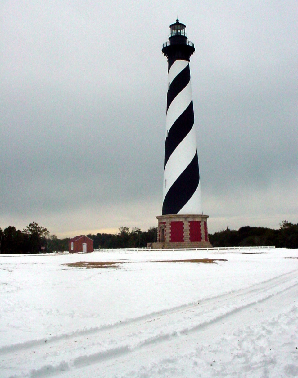
  1. 1Cape Hatteras LighthouseSight
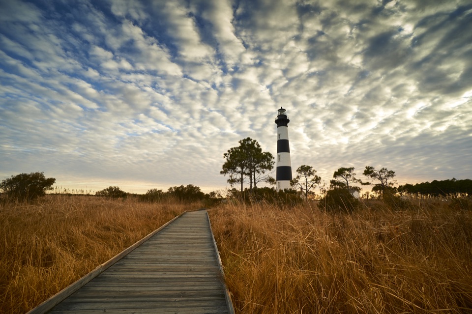
  2. 2Bodie Island LighthouseSight
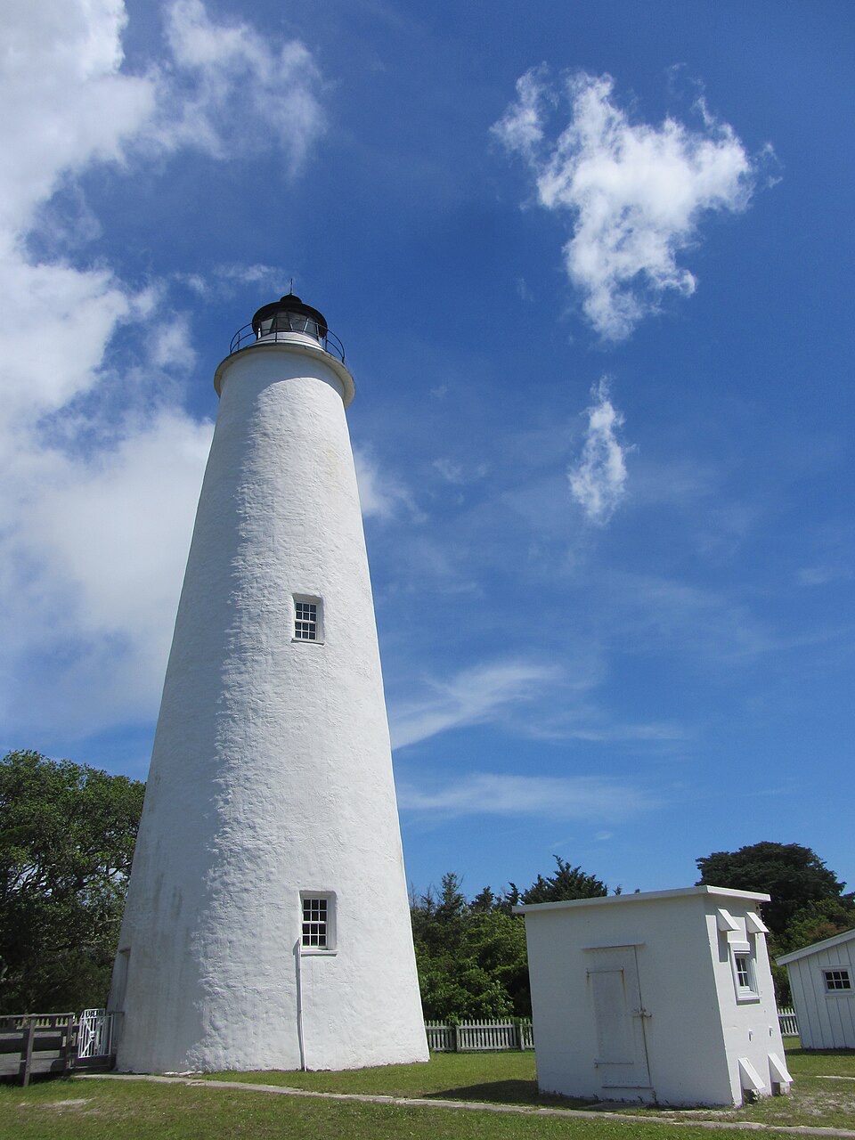
  3. 3Ocracoke LighthouseSight
  4. 4Cape PointBeach
  5. 5Coquina BeachBeach
  6. 6Bonner Bridge PierSight

Take Parkwolf to Cape Hatteras.

The audio tour guide for the drive, plus offline maps, trails, and wildlife heatmaps for when the signal drops.

4.7 from 8,600+ ratings

Download Parkwolf on the App StoreGet Parkwolf on Google Play