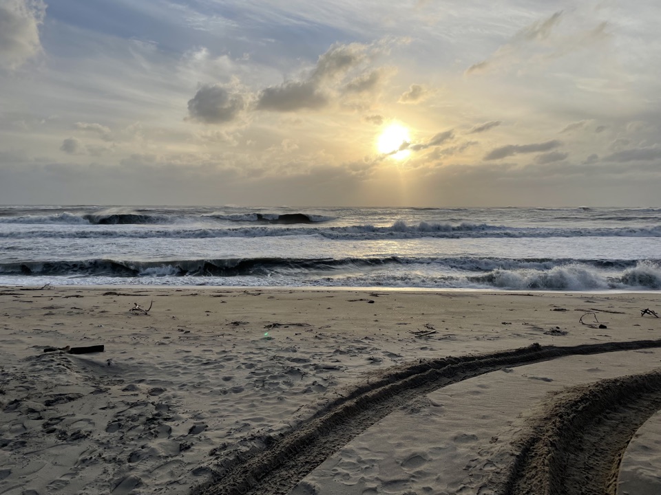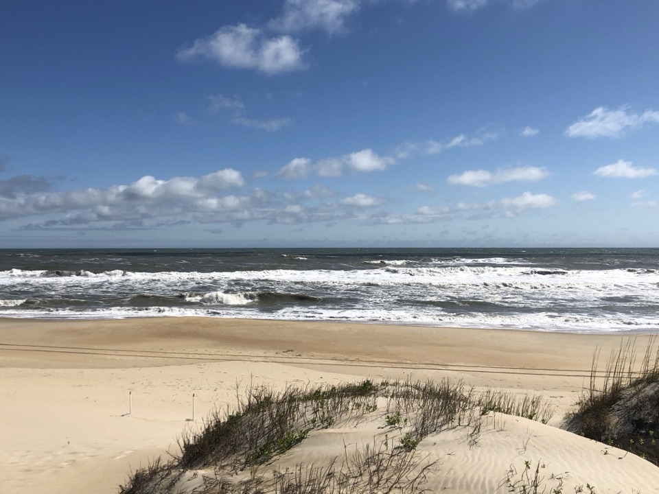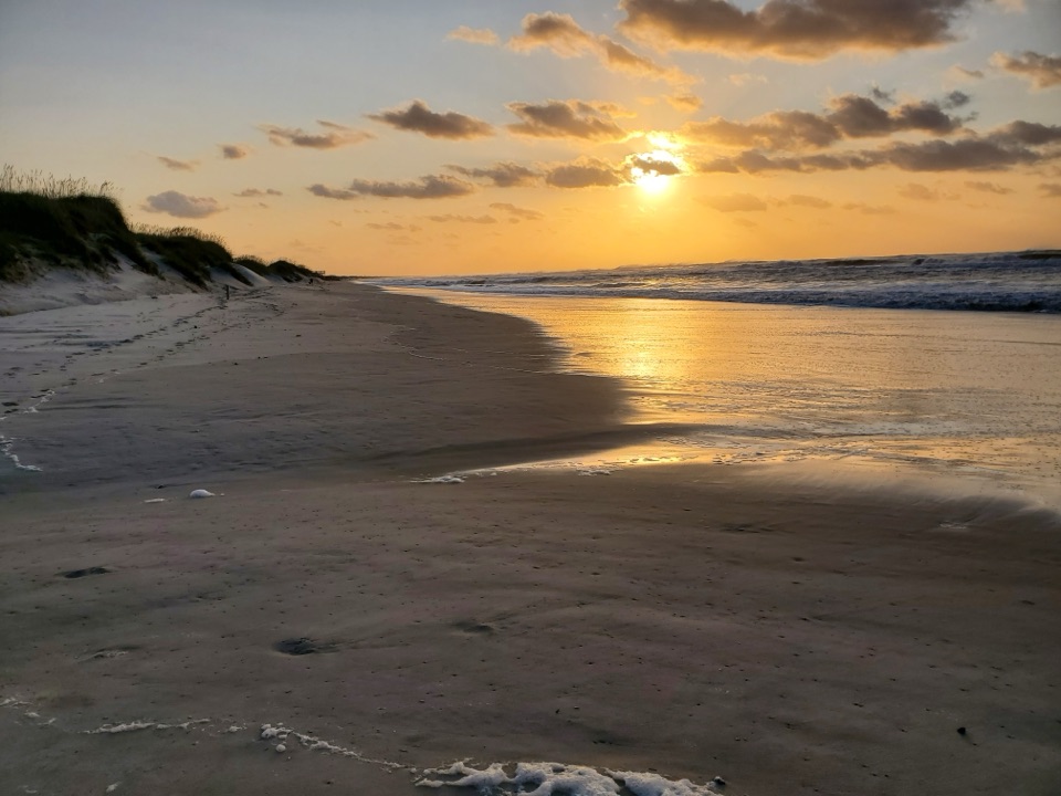
Frisco Beach in Cape Hatteras National Seashore

#10 of 26 sights in Cape Hatteras

Beach · Cape Hatteras National Seashore

Frisco Beach

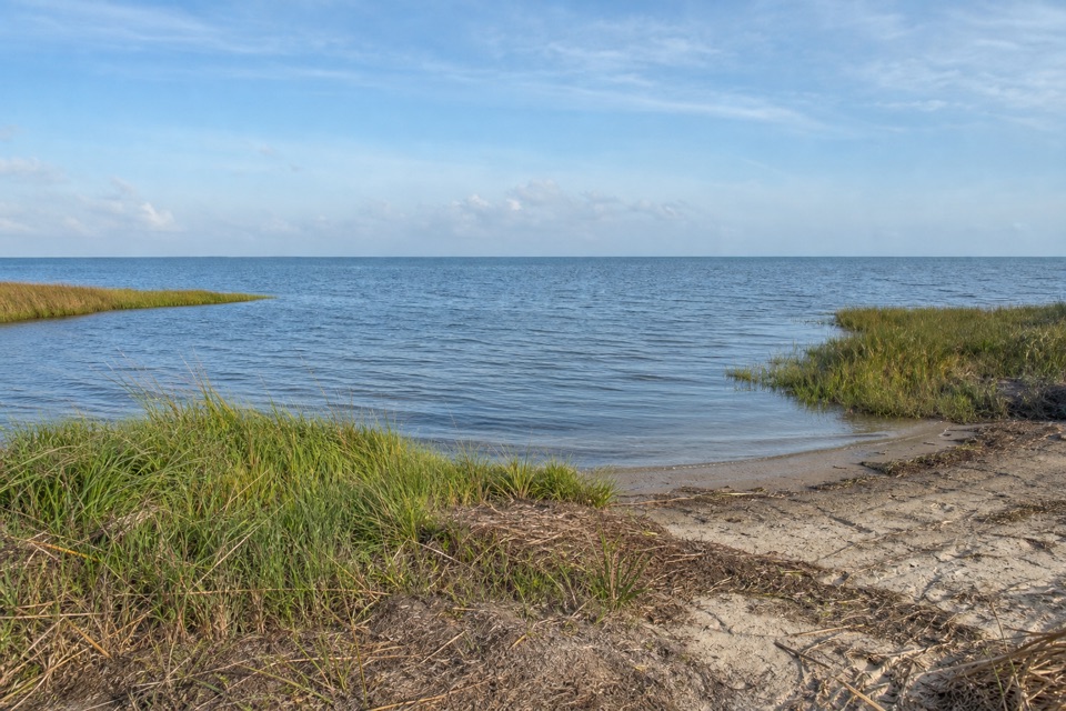
Warmer southern surf and a bathhouse make this an easy swim stop.

Photo: Public Domain
Type
Beach
Nearest trail
3.7 mi
Audio stories
4 nearby
  • Parking
  • Restrooms

Hear the audio tour

Frisco Beach

Overview

About Frisco Beach

Why stop

  • Restrooms, changing rooms and showers at a lifeguarded-season swim beach.

Heads up

  • Ocean currents and surf can change quickly.

Map

Where it is

Loading the Cape Hatteras map
Full map
BeachFrisco Beach35.22481, -75.64355
Keep this map with you offline in the Parkwolf app

Plan your stop

Before you go

Getting there and making it work

Follow NC 12 to the public beach access south of Frisco. Parking is spread across several areas near the bathhouse, with accessible parking directly in front.

The bathhouse has restrooms, changing rooms and showers. A fishing-line recycling station is at the base of the steps leading up to it. I could not confirm food service or potable water at this access, so plan those separately. The ramp and observation deck are useful accessible features, but beach matting and a beach wheelchair were not confirmed. Guard coverage is seasonal, and there is no year-round lifeguard schedule.


6 active Cape Hatteras alerts

  • ClosurePartial beach closures in front of Buxton VillageSections of beachfront in front of Buxton Village are temporarily closed. - The closure is due to threatened oceanfront structures and Dare County’s beach nourishment project.Official details
  • ClosurePartial beach closure in northern RodantheThe beach from the northern boundary of Rodanthe to the Rodanthe pier is closed to all access. - The closure is required because multiple threatened oceanfront structures pose risks to public safety.Official details
See all 6 alerts
A park ranger sits on a dash-mounted phone, talking, as Parkwolf’s Tour Guide plays “Army Cutworm Moths: A Grizzly Bear Buffet” on Grand Loop Road below Dunraven Pass in Yellowstone
Parkwolf Tour GuideThe highest, rockiest slopes around here are a summer buffet for grizzly bears.

Cape Hatteras Tour Guide

Your drive to Frisco Beach, narrated.

Parkwolf is a GPS audio tour guide for Cape Hatteras National Seashore. As you drive, it chimes in with what’s ahead: hidden gems, upcoming stops, history, geology, and wildlife, right through your car’s speakers.

Recorded for this place

Frisco Beach
0:00 / 0:32
“You're coming up on Frisco Beach, a serviced Atlantic swim access on Hatteras Island's southern shore.”

Plays as you drive up to Frisco Beach in the Parkwolf Cape Hatteras Tour Guide.

More stories near here in the app

  • Sandy Bay Sound and Ocean Access
  • The Monitor Met a Winter Storm
  • The Shell a Lawmaker Couldn't Find
  • Frisco Campground
  • 67 audio storiesacross Cape Hatteras’s roads, triggered by GPS as you drive
  • Wildlife heatmapsfor Brown Pelican, Tamanend's Bottlenose Dolphin, Bald Eagle, and 13 more
  • Works offlinemaps, 11 trails, 35 places, and audio download before you lose signal
  • CarPlay readysimple controls built for the drive
★★★★★
“Fantastic app with many points of information… It’s great to just turn on while you’re driving and it gives you an audio tour of the national Park. We love it!!!!”
JMJamesApp Store review
Download Parkwolf on the App StoreGet Parkwolf on Google Play

4.7 from 8,600+ ratings

Guide

More about Frisco Beach

A serviced Atlantic swim beachFrisco Beach is the public Atlantic swim beach and bathhouse access on the southern part of…

Frisco Beach is the public Atlantic swim beach and bathhouse access on the southern part of Hatteras Island, reached from NC 12 south of Frisco village. The draw is the shoreline itself, with restrooms, changing rooms and showers close at hand when you come off the sand. Several parking areas serve the bathhouse, including an accessible parking area directly in front. A wide ramp leads toward an ocean-side observation deck, so you can take in the water before heading down to the beach.

This is a practical stop for swimming or walking along the water, especially if you want to rinse off and change before getting back on the road. The National Park Service lists the access as wheelchair accessible, but I could not confirm beach matting or a beach wheelchair for rolling over soft sand.

Warmer water, changing oceanFrisco is on the southern end of the seashore, where the nearby Gulf Stream helps keep the…

Frisco is on the southern end of the seashore, where the nearby Gulf Stream helps keep the water warmer than at northern beaches. The difference is relative, and water temperature still varies, but it gives this stretch a reason to choose it when swimming is the point of the stop. Lifeguards are scheduled here from Memorial Day weekend through Labor Day, making summer the season for a guarded swim.

Ocean conditions deserve more attention than a calm-looking surface might suggest. Waves, tides, beach slope and wind can combine to create strong currents, and conditions can change within hours. Check the park's current beach guidance before getting in. Frisco works best when you want a serviced beach with a defined lifeguard season, and are ready to adjust your plans to the water.

A coastline that keeps movingThis sand is part of a barrier-island shoreline that is always being reshaped.

This sand is part of a barrier-island shoreline that is always being reshaped. Waves and currents move the coast, wind carries sand across the islands, and plants help hold them in place. The park points to Hurricane Irene in 2011 as one storm that caused dramatic changes. The beach you see is part of a living coast, not a fixed strip with the same shape every year.

For a view that shows both the access and the Atlantic, start at the ocean-side observation deck. From the sand, turn along the waterline so the surf and shoreline lead through the frame; a straight-on view of open water loses the long curve that makes this beach legible. The deck also gives you a quick look at conditions before walking down.

Wildlife

Wildlife in Cape Hatteras

All Cape Hatteras wildlife maps

Sighting maps show where each species has been reported across Cape Hatteras. Wildlife moves, so no sighting is guaranteed.

Parkwolf’s Cape Hatteras ranking

Top sights in Cape Hatteras

All 35 places
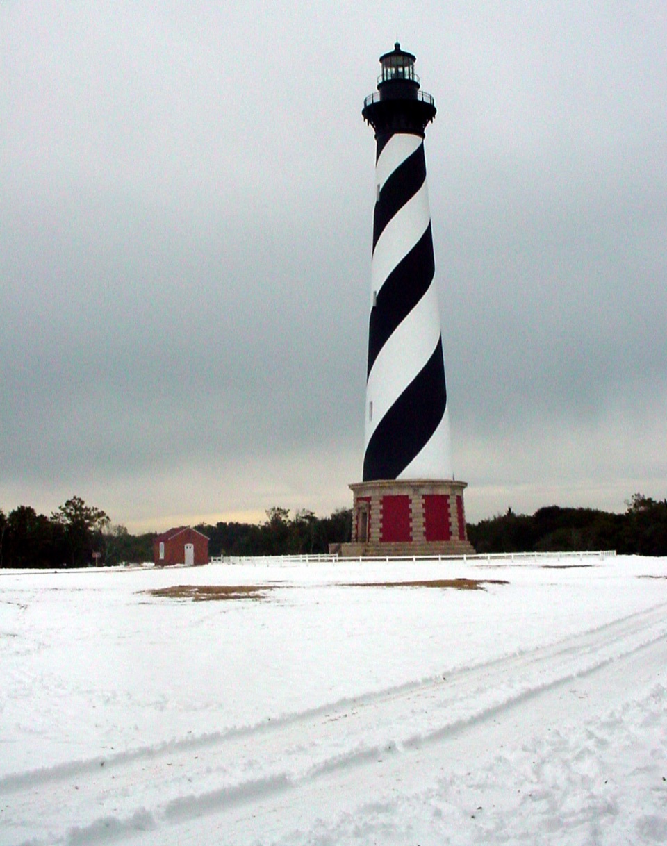
  1. 1Cape Hatteras LighthouseSight
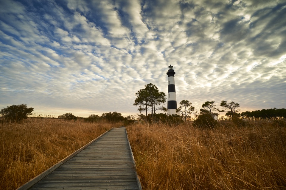
  2. 2Bodie Island LighthouseSight
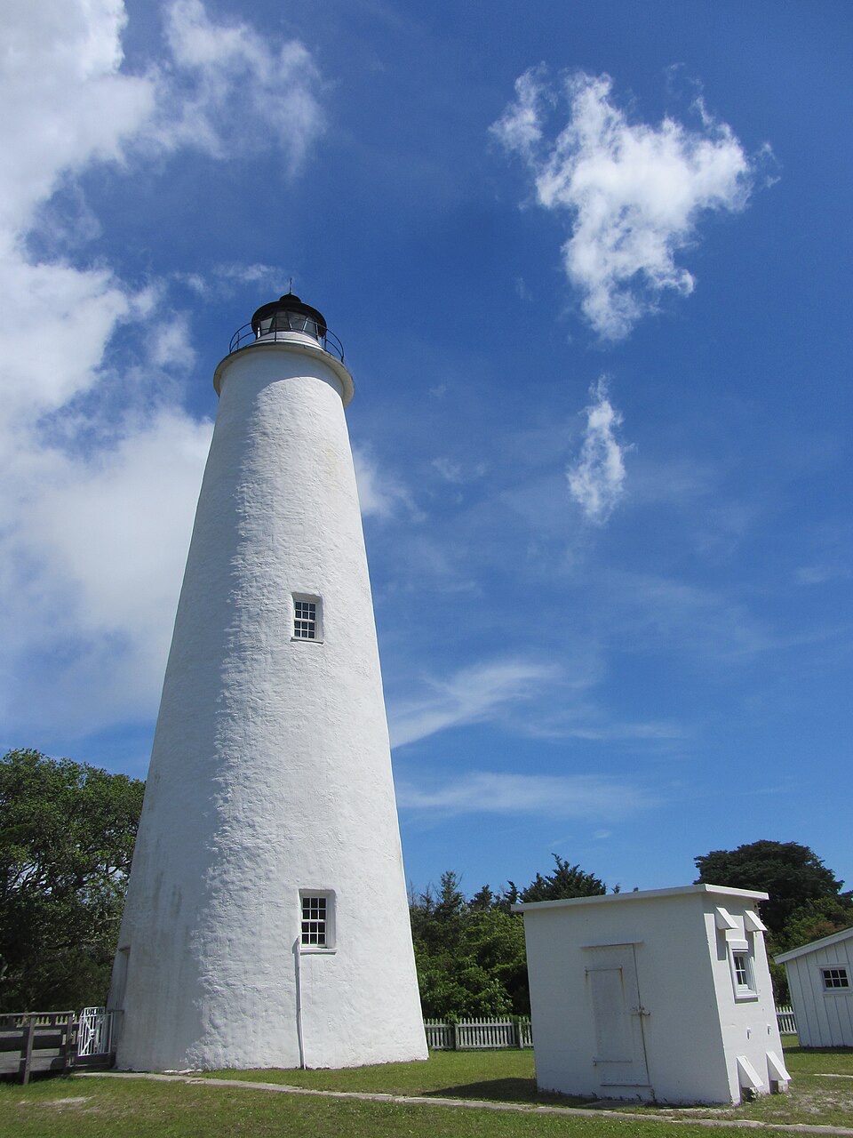
  3. 3Ocracoke LighthouseSight
  4. 4Cape PointBeach
  5. 5Coquina BeachBeach
  6. 6Bonner Bridge PierSight

Take Parkwolf to Cape Hatteras.

The audio tour guide for the drive, plus offline maps, trails, and wildlife heatmaps for when the signal drops.

4.7 from 8,600+ ratings

Download Parkwolf on the App StoreGet Parkwolf on Google Play