
Place
Moderate
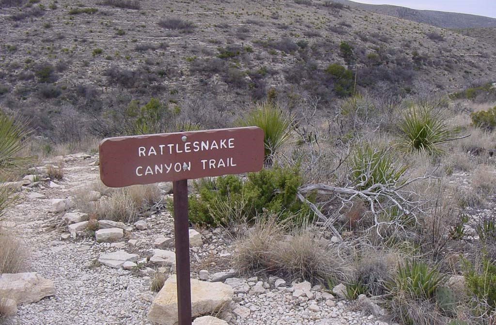
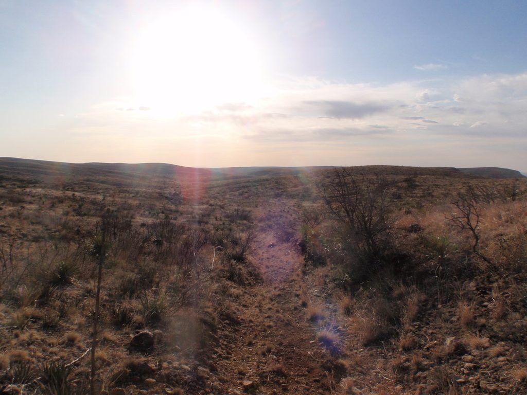
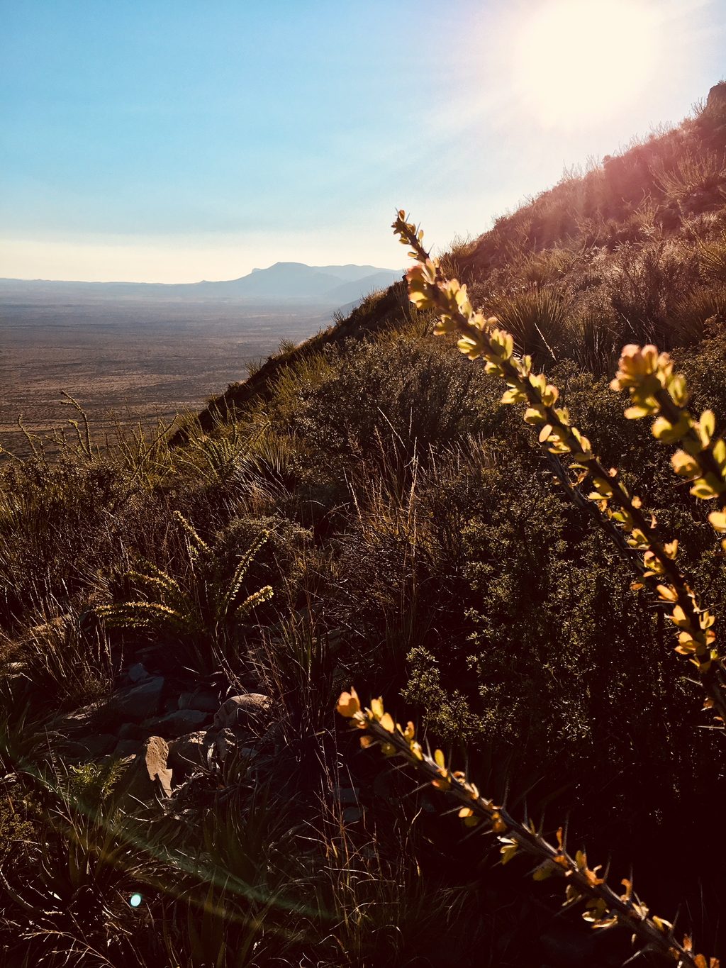
Looking for a surface hike to balance out the caves? Lower Rattlesnake Canyon delivers a rugged Chihuahuan Desert sampler: steep, loose switchbacks, a sandy wash, and long, open views. The official route clocks in at 3.0 miles total with about 600 feet of elevation change and a typical plan time of around 3 hours. It feels longer than the mileage—exposure, footing, and route-finding in the wash keep you honest.
Start from Walnut Canyon Desert Drive (the park’s unpaved scenic loop), about a quarter mile past interpretive marker #4. The trail bends west around a bluff and immediately commits to a set of steep, sometimes loose switchbacks down toward the wash. Footing matters here—trekking poles help. At the canyon floor, expect stretches of gravel/sand wash-walking and traverses along the toe of the canyon wall. Cairns and signs generally keep you on track, but you’ll still want a map/GPS, especially where the wash braids.
Many hikers link the Lower and Upper Rattlesnake segments to form a satisfying loop with varied terrain and fresh angles on the canyon. One popular loop climbs out on a steep toe-of-slope, trading calf burn for big vistas. If you prefer to keep it straightforward, stick to the official Lower Rattlesnake route.
This is classic Guadalupe Mountains limestone—exposed sedimentary layers sculpted into bluffs and side canyons. In the wash, watch for desert-adapted flora like cactus, yucca, and hardy shrubs; the open country also makes bird and reptile sightings likely. It’s a quieter slice of the park than the cave complexes, so solitude is part of the draw.
Fall through spring is prime: cooler temps, friendlier sun, and better all-day hiking. In summer, aim for dawn or late afternoon to dodge heat and harsh midday light. Weekdays and early starts maximize solitude and the softest photography light.
You’ll love this hike if you want a peaceful desert canyon loop with real variety—steep switchbacks, wash-walking, and wide-open views—without the crowds. If you’re after shade, water features, or a groomed path, this isn’t your trail. For a shorter taste of the surface landscape, consider one of the park’s shorter nature trails; for caves, you’ll need a cave tour or self-guided route underground.
Small pullout along unpaved Walnut Canyon Desert Drive about 0.25 mile past interpretive marker #4; limited spaces.
Unpaved access road; steep loose switchbacks; full sun exposure; route-finding in sandy washes; no water and no pets—carry map/GPS and ample water.
Place
Place
Place
Place
Easy
Challenging
Challenging
Challenging

Parkwolf Tour Guide
