Challenging

Guadalupe Ridge Trail

High, exposed ridge walk across a world-class fossil reef.
Guadalupe Ridge Trail, Carlsbad Caverns National Park
Distance20 mi
Typical time0 min
DifficultyChallenging
PetsNot allowed

Overview

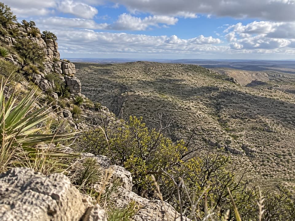
The Guadalupe Ridge Trail (GRT) is a roughly 100‑mile National Recreation Trail linking Carlsbad Caverns National Park, Guadalupe Mountains National Park, and adjoining public lands. About 20 miles of that route traverse Carlsbad Caverns National Park, riding the park’s high, open ridgeline before dropping toward White’s City at the northeastern end. Expect a true point‑to‑point character here, with sustained ups and downs, wide‑open skies, and a rugged, unforgiving feel.

Scenery and geology

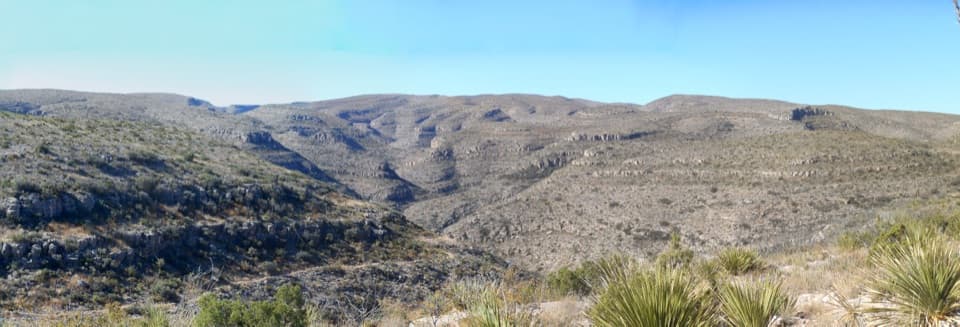
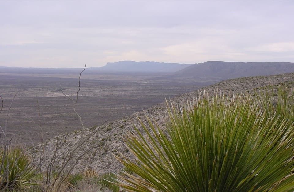
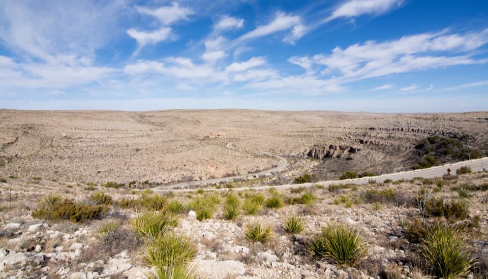
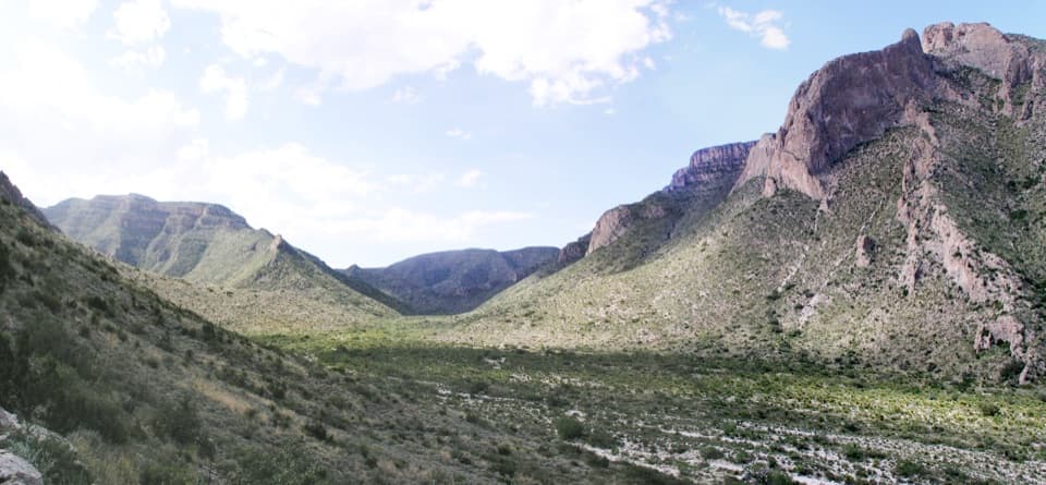
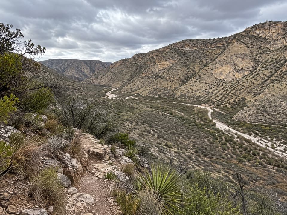
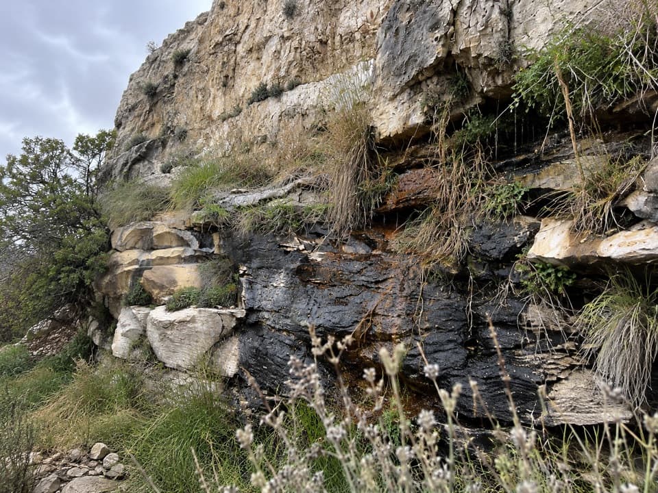
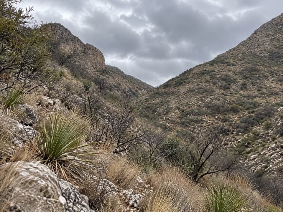
This is ridge walking with big‑screen panoramas: horizon‑to‑horizon views across desert basins, canyons, and distant peaks. The geology is the star—the trail crosses the heart of the most exposed fossilized reef on Earth, the ancient Capitan Reef. You’re literally hiking atop fossil‑rich limestone. Within the park, highlights include broad overlooks (such as Fawn Valley Overlook) and continuous ridgeline vistas. Typical desert flora—yucca, agave, and cacti—line the path, and you may spot lizards, snakes, mule deer, or even elk.

Difficulty and what to expect

The CCNP segment is strenuous: exposed ridges, rocky footing, and notable elevation changes. Wind and sun are constants, and there are few to no reliable water sources within the park portion—carry everything you need. The route is generally marked, but this is remote country; bring a map/GPS and the skills to use them. Overnight use requires a wilderness permit where applicable, and pets are not permitted on park backcountry trails.

How to hike it

Most visitors tackle the Carlsbad Caverns segment as a section hike rather than committing to the full 100‑mile traverse. You can stage a shuttle between the Carlsbad Caverns Visitor Center area and White’s City for a one‑way trip, or sample the ridge as an out‑and‑back from either end. Build in time for scenic pauses—this is a vista‑driven hike—and plan conservatively given the exposure and lack of water.

Best time to go

Spring and fall bring the most forgiving temperatures and are the sweet spot for long, exposed ridge miles. Summer heat can be severe, and winter often layers on strong, cold winds at elevation. Aim for early morning or late‑day light for photography and more pleasant temps, and consider weekdays for quieter ridges.

Bottom line

If you crave big, lonely views and world‑class geology, the GRT through Carlsbad Caverns is a gem—rugged, rewarding, and best for prepared hikers who respect the exposure and logistics.

Pros

  • Walk directly atop the most exposed fossilized reef on Earth.
  • Continuous ridge panoramas with few crowds inside the park.

Cons

  • No reliable water along the park segment—heavy carries required.
  • Complex logistics across multiple jurisdictions for overnights.

Parking

Stage a vehicle at the Carlsbad Caverns Visitor Center lot or at White’s City (the park’s eastern end of the route) if shuttling the CCNP segment.

Caution

Exposed ridge with strong sun and wind, rugged footing, sustained climbs/descents, scarce to no water inside the park, unreliable cell service, and permits required for any overnight use.

The Parkwolf tour guide sitting on a phone mounted in a car

Parkwolf Tour Guide

Like a tour guide in your car.

Bring Carlsbad Caverns trail research into the car, with offline maps and stories that play as you drive.Download Parkwolf on the App Store