Yucca Canyon Trail in Carlsbad Caverns National Park

#6 of 12 trails in Carlsbad Caverns

Carlsbad Caverns National Park, NM

Yucca Canyon Trail

A remote climb to a sheer rim above Big Canyon.

Length
15.4mi
Time
17hr
Elev. change
2,087ft
Difficulty
Challenging
  • No dogs
  • High point 6,654 ft

Hear the audio tour

Yucca Canyon Access Road

Overview

About Yucca Canyon Trail

Why go

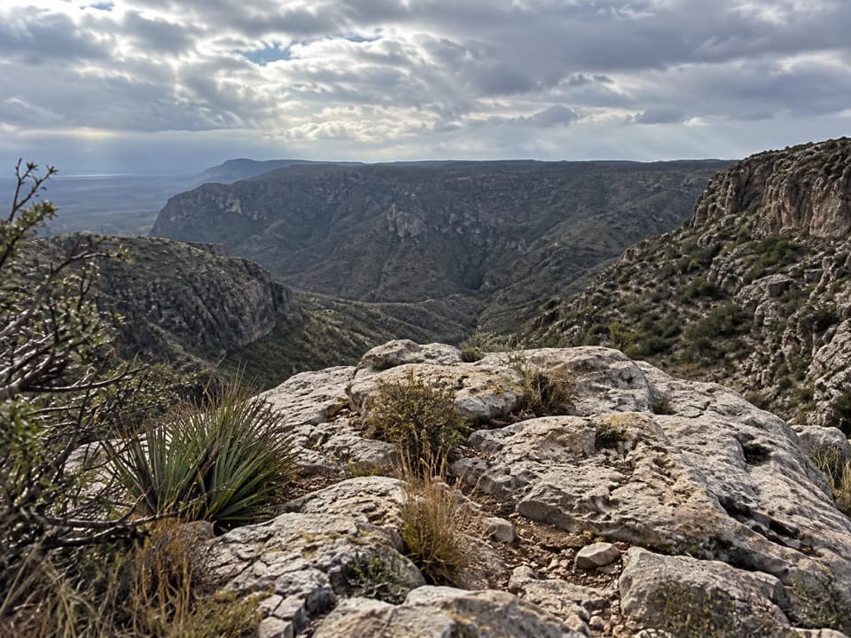
  • A dramatic basin view and sheer rim above Big Canyon
  • Ponderosa and juniper along a remote upper ridge

Heads up

  • Loose rock makes the opening climb tough
  • High-clearance access and no reliable backcountry water

Map & elevation

The route

Loading the Carlsbad Caverns map
Full map
Elevation4,567–6,654 ft
TrailheadYucca Canyon road-end trailhead32.09830, -104.58728
Keep this map with you offline in the Parkwolf app

Plan your hike

Before you go

Parking

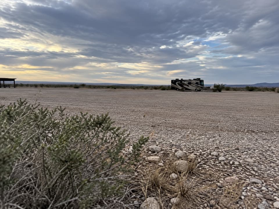
Take the westbound dirt road where the road to the Slaughter Canyon parking lot crosses the park boundary; the trail begins at the end of that road. NPS recommends high clearance or four-wheel drive for the approach. Parking capacity is not documented.

Safety

This is a remote, very long hike with a sheer rim at the Big Canyon turnaround. There is no reliable backcountry water, summer heat can exceed 100°F, winter ice or snow and flash floods are hazards, and cell reception is limited. NPS warns that backcountry trails can be unmarked; carry a topographic map, compass, and GPS you know how to use. Pets are prohibited on unpaved trails and in the backcountry. A free permit is required for overnight camping.

1 active Carlsbad Caverns alert

  • ClosureFlood damage closes Walnut Canyon road and trailsWalnut Canyon Desert Drive and several backcountry trails are closed because extensive damage from the August 2022 historic flood still requires major repairs.Official details
Carlsbad Caverns alerts
A park ranger sits on a dash-mounted phone, talking, as Parkwolf’s Tour Guide plays “Army Cutworm Moths: A Grizzly Bear Buffet” on Grand Loop Road below Dunraven Pass in Yellowstone
Parkwolf Tour GuideThe highest, rockiest slopes around here are a summer buffet for grizzly bears.

Carlsbad Caverns Tour Guide

Your drive to Yucca Canyon Trail, narrated.

Parkwolf is a GPS audio tour guide for Carlsbad Caverns National Park. As you drive, it chimes in with what’s ahead: hidden gems, upcoming stops, history, geology, and wildlife, right through your car’s speakers.

Recorded for this trailhead

Yucca Canyon Access Road
0:00 / 0:31
“You're approaching the dirt-road access for Yucca Canyon; the trailhead is farther along at the road's end. High clearance or four-wheel drive is recommended for that drive.”

Plays as you drive up to this trailhead in the Parkwolf Carlsbad Caverns Tour Guide.

More stories near here in the app

  • Slaughter Canyon Cave Approach
  • The Pictures That Brought Visitors
  • Mud Nests at the Cave Mouth
  • Water from a Seed
  • 26 audio storiesacross Carlsbad Caverns’s roads, triggered by GPS as you drive
  • Wildlife heatmapsfor Mexican Free-tailed Bat, Aoudad, Mule Deer, and 13 more
  • Works offlinemaps, 12 trails, 12 places, and audio download before you lose signal
  • CarPlay readysimple controls built for the drive
★★★★★
“Fantastic app with many points of information… It’s great to just turn on while you’re driving and it gives you an audio tour of the national Park. We love it!!!!”
JMJamesApp Store review
Download Parkwolf on the App StoreGet Parkwolf on Google Play

4.7 from 8,600+ ratings

Trail guide

Hiking Yucca Canyon Trail

The full route is a major commitmentYucca Canyon is a remote backcountry out-and-back from the end of the westbound dirt road near…

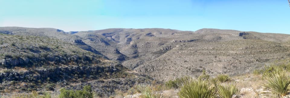
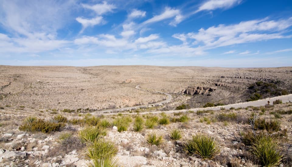
Yucca Canyon is a remote backcountry out-and-back from the end of the westbound dirt road near the Slaughter Canyon access to the rim above Big Canyon, then back to the same road end. The NPS distance is 7.7 miles one way, so the complete visit is about 15.4 miles. NPS estimates 8.5 hours for the one-way walk; budget about 17 hours of walking for the return trip, before stops. The mapped outward line gains roughly 2,600 feet and loses about 500 on rolling ground, so the return includes another climb. This is an overnight-scale outing for most hikers; a free backcountry permit is required if you camp. For a much shorter desert walk, the mostly paved 0.5-mile Chihuahuan Desert Nature Trail by the visitor center stays close to the developed area.

Get to the real trailheadThe trail does not start at the Slaughter Canyon parking lot.

The trail does not start at the Slaughter Canyon parking lot. The westbound dirt road begins where the road to that lot crosses the park boundary; follow the dirt road to its end for the Yucca Canyon trailhead. NPS recommends a high-clearance or four-wheel-drive vehicle for the approach. Parking capacity and facilities at the road end are not documented, so arrive prepared to be self-sufficient.

The first climbThe route climbs quickly up a side canyon to the top of the escarpment.

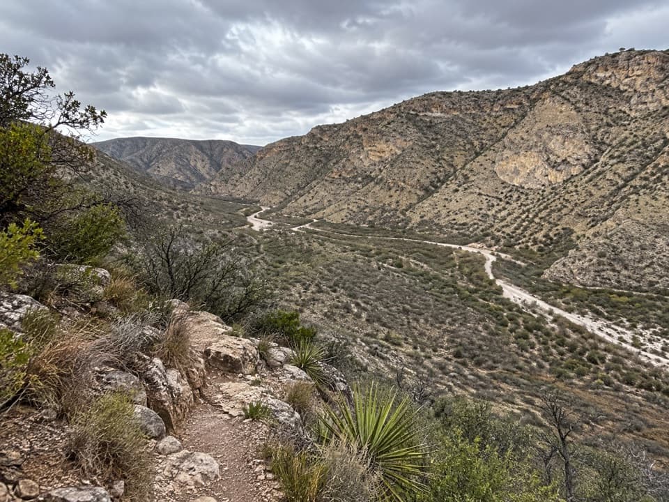
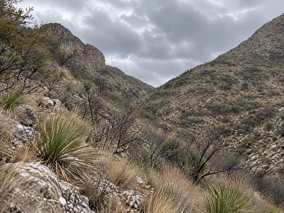
The route climbs quickly up a side canyon to the top of the escarpment. The first two miles are the hardest: a steep uphill on loose rock that makes the ascent slower and less secure underfoot. Sturdy boots or shoes matter here. Take a steady pace and save enough energy for the long return rather than treating the first ridge as the finish.

The ridge and plateauOnce you gain the rolling ridge, the basin opens below and the hiking eases compared with the…

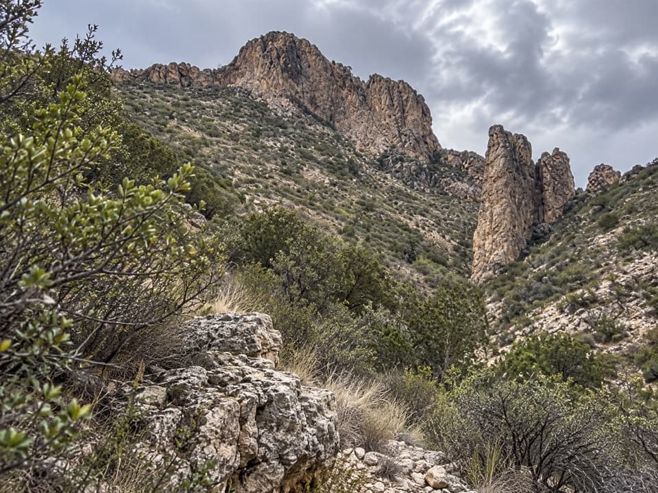
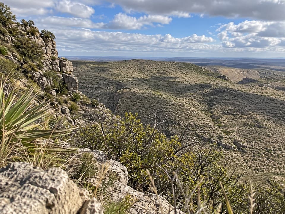
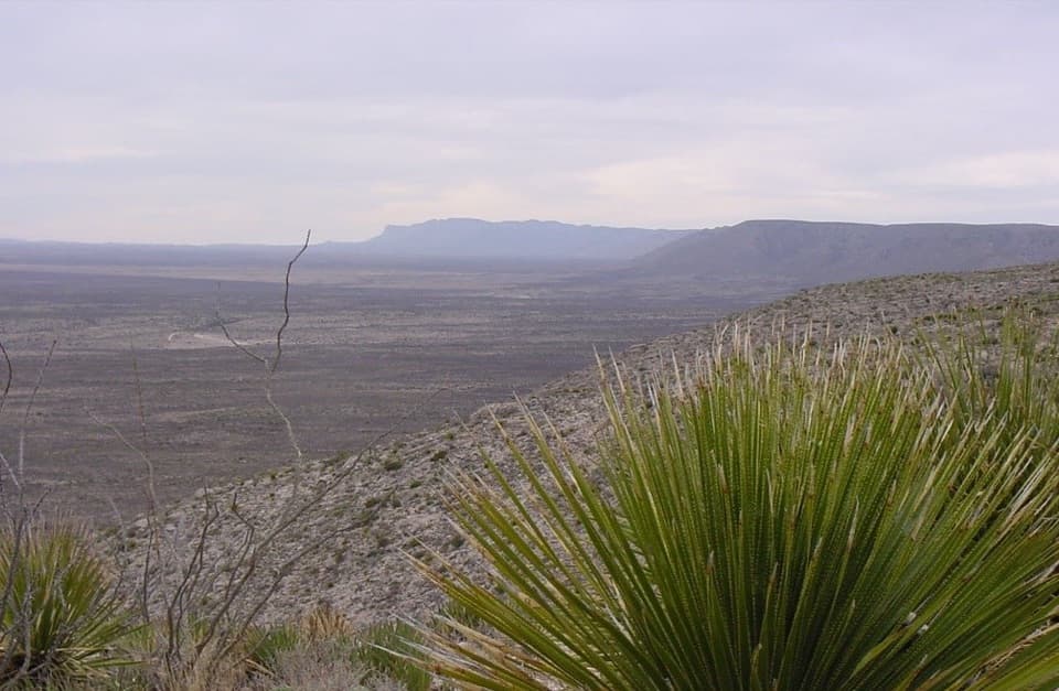
Once you gain the rolling ridge, the basin opens below and the hiking eases compared with the initial climb. Pine and juniper grow along this higher stretch; NPS notes that Yucca Canyon is one of the few park trails where hikers may encounter ponderosa and other pines. That shift from brushy desert canyon to a more wooded ridgeline is one of the walk's distinctive changes. A spring name appears on some maps in the area, but it is not a dependable water plan: NPS says there is no reliable water source in the backcountry.

Big Canyon is the turnaroundThe route continues across the plateau to a sheer rim with a view into Big Canyon.

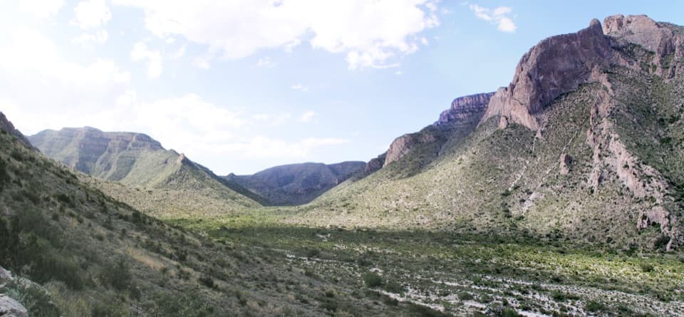
The route continues across the plateau to a sheer rim with a view into Big Canyon. Treat the rim as the destination, not as an invitation to descend. Choose a stable spot well back from the edge for a look or photo, then retrace the mapped corridor to the road end. Older descriptions use nearby Double Canyon or add a longer continuation toward Longview Springs; those are separate route variants and are not part of this Big Canyon out-and-back.

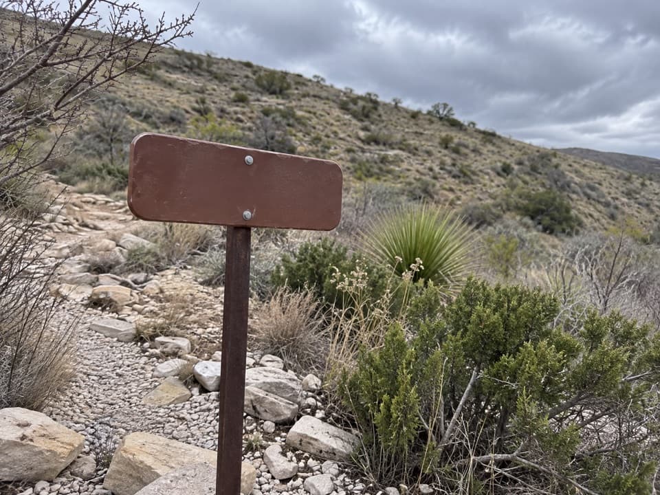
Bring navigation and weather plansBackcountry trails can be unmarked, phone reception is limited, and one hiker reported that a…

Backcountry trails can be unmarked, phone reception is limited, and one hiker reported that a phone track diverged from the visible route on the plateau. Carry a topographic map and compass as well as a GPS track, and know how to use them without cell service. There is no reliable water along the route. The park warns of summer heat above 100°F, recommends avoiding the hottest middle of the day, and notes winter ice or snow and flash-flood danger. Pets are not allowed on the park's unpaved trails or in the backcountry.

A landscape built from an ancient reefThe broader high country around Carlsbad Caverns is part of the landscape formed from the…

The broader high country around Carlsbad Caverns is part of the landscape formed from the Capitan reef about 250 million years ago. Later uplift and fracturing exposed limestone and dolomite across the Guadalupe escarpment. The long climb from the canyon to the pine-dotted ridge gives you a ground-level view of that regional change in landform, even though this is an above-ground hike rather than a cave tour.

Wildlife

Wildlife in Carlsbad Caverns

All Carlsbad Caverns wildlife maps

Sighting maps show where each species has been reported across Carlsbad Caverns. Wildlife moves, so no sighting is guaranteed.

Keep exploring

Near Yucca Canyon Trail

See it all on the map

Trails that start nearby

Places near the trailhead

Parkwolf’s Carlsbad Caverns ranking

Top-rated trails in Carlsbad Caverns

All 12 trails
  1. 1Chihuahuan Desert Nature TrailEasy · 0.8 mi
  2. 2Slaughter Canyon Cave TrailChallenging · 1 mi
  3. 3Old Guano TrailModerate · 4.2 mi
  4. 4Walnut Canyon Overlook TrailEasy · 0.2 mi
  5. 5Upper Rattlesnake Canyon to Guadalupe Ridge LoopModerate · 6 mi
  6. 7North Slaughter Canyon TrailChallenging · 5.3 mi

Take Parkwolf to Carlsbad Caverns.

The audio tour guide for the drive, plus offline maps, trails, and wildlife heatmaps for when the signal drops.

4.7 from 8,600+ ratings

Download Parkwolf on the App StoreGet Parkwolf on Google Play