Pros & cons
PROS
- Surreal fossilized tree and root casts unlike anywhere else
- Guided access adds insight while protecting a fragile site
CONS
- Access is strictly ranger-led with permits and limited openings
- Exposed, strenuous hike with no shade or services
Overview
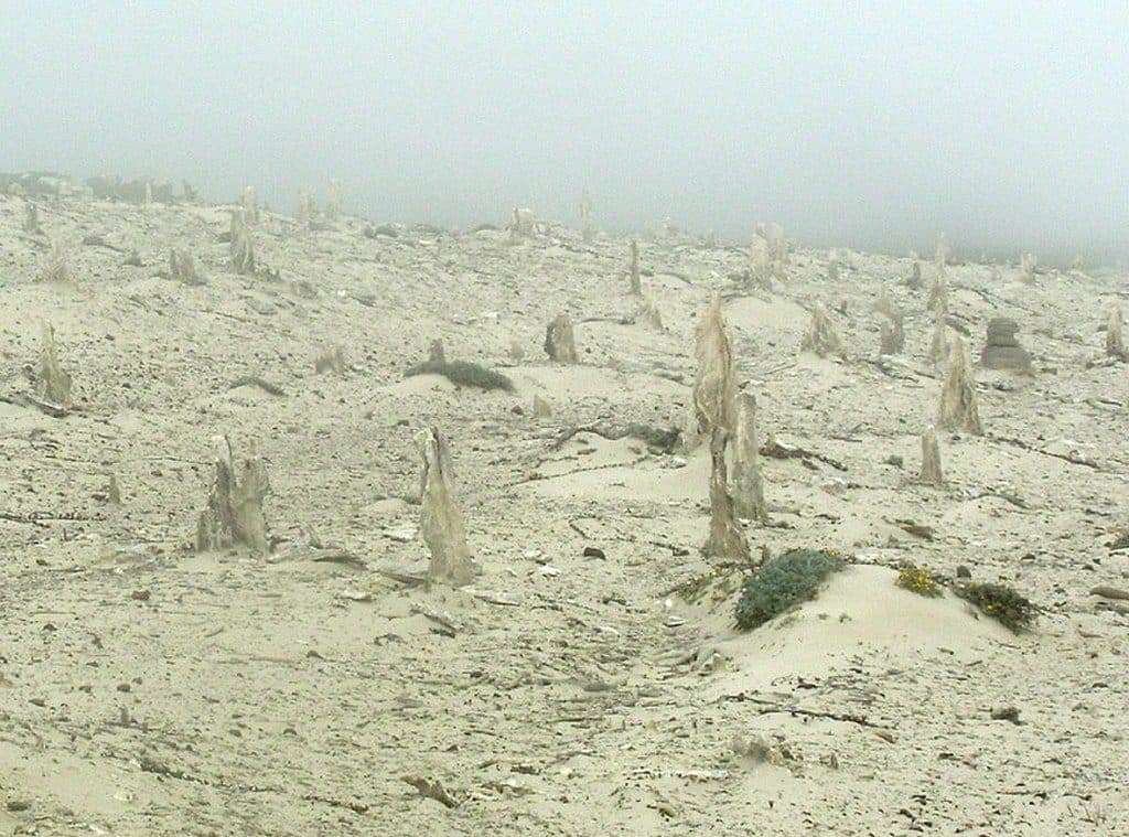
The Caliche Forest is one of San Miguel Island’s most fascinating features: an eerie landscape of white, mineral “ghosts” where trees and roots once stood. These aren’t living trunks—they’re calcified casts of ancient vegetation, preserved and revealed as the island’s sands erode. Isolation has kept this oddity intact, and it’s a highlight for geology-curious visitors.
What You’ll See
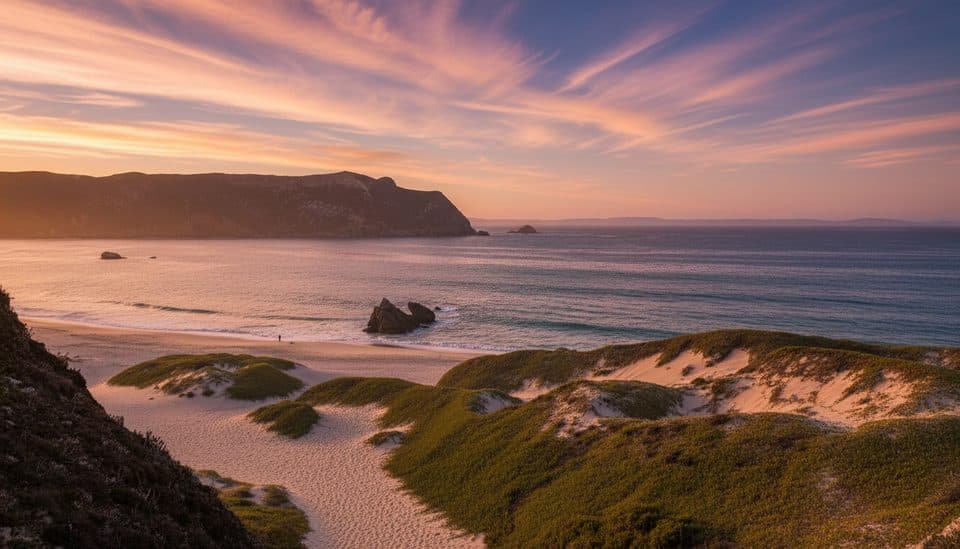
Expect chalky, brittle spires, logs, and root forms emerging from sandy slopes—striking against the wind-scoured terrain. Some casts are impressively large; one notable caliche log measures roughly 2.5 feet across and about 30 feet long. The setting is open and windswept, with big island views and very little vegetation right at the site.
How It Formed
During colder, wetter periods in the past, vegetation (possibly including pines and cypresses) grew here. Blowing sand buried the plants; as they decayed, calcium carbonate—mobilized by rainwater from shell-rich sands—cemented the surrounding material into hard caliche. Over time, erosion peeled back the dunes and exposed these stone-like molds and casts. Similar exposures occur in several areas on the island.
Getting There & Access
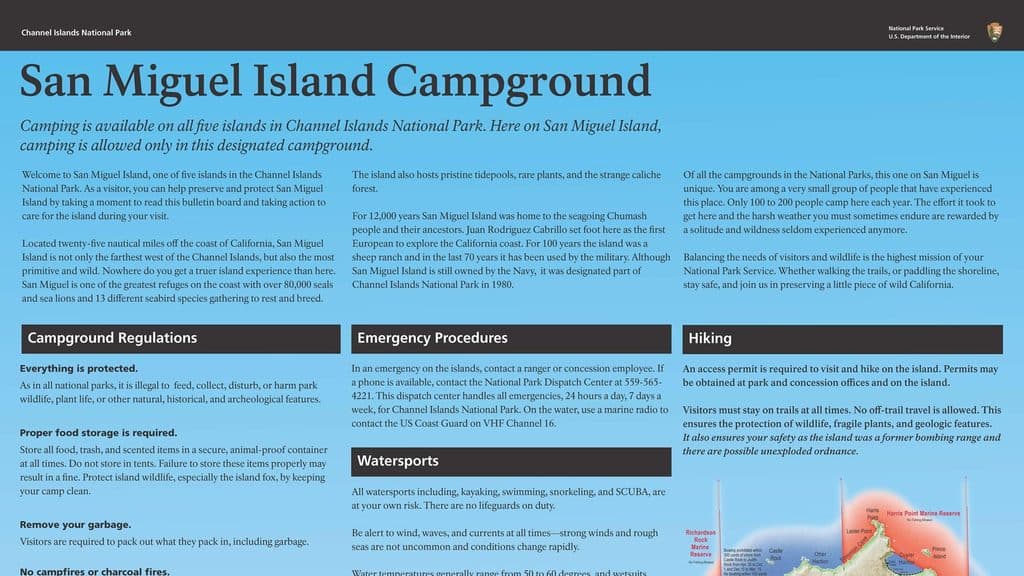
Reaching the Caliche Forest typically involves a strenuous, exposed hike of about 5 miles round-trip from Cuyler Harbor. Visits are tightly controlled: you need a permit, and you must be accompanied by a ranger due to safety concerns (including historic unexploded ordnance) and the site’s fragility. The island is only open when National Park Service staff are present. There are no amenities en route or at the feature—no water, restrooms, or shade—so plan accordingly.
Wildlife
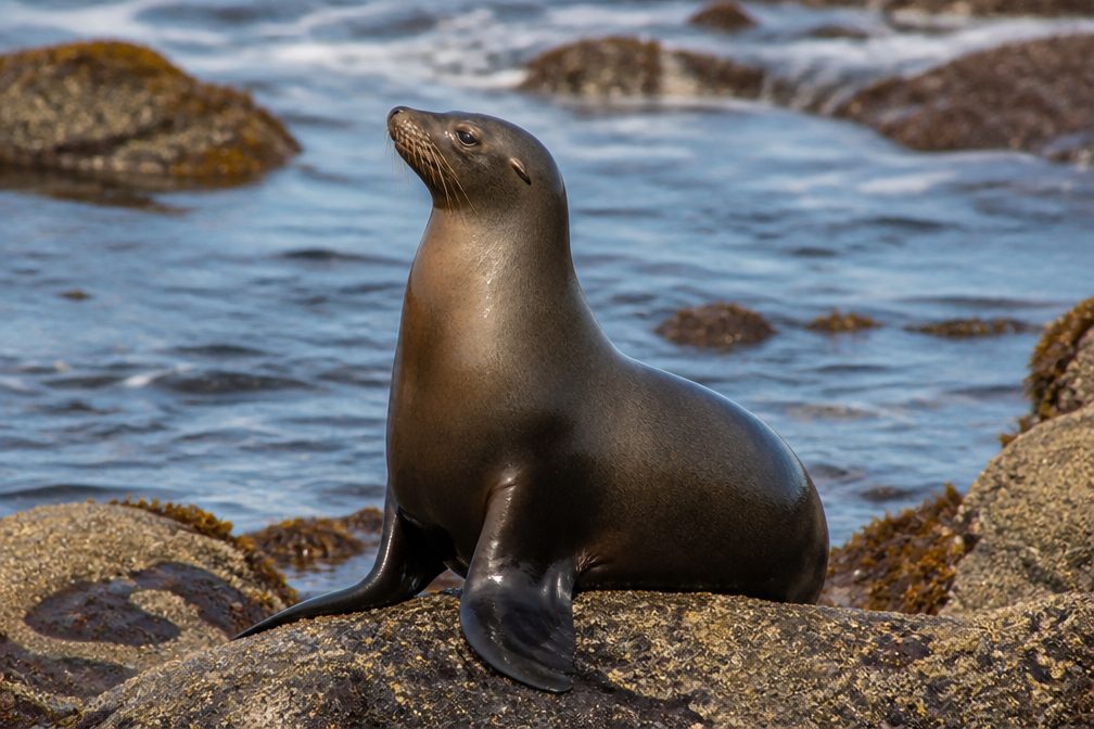
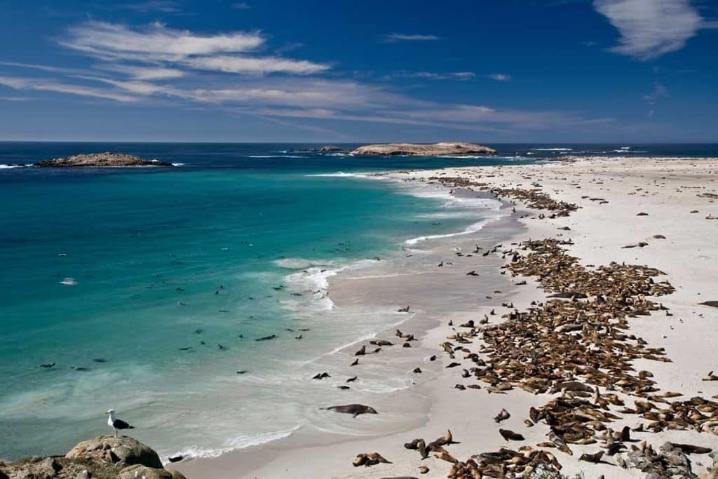
The feature itself is stark and doesn’t host much life, but along the way and on nearby beaches you may encounter seabirds and, seasonally, marine mammals. Most wildlife sightings happen on the approach hikes and along the coast rather than among the caliche casts.
Best Time to Visit
Go when ranger-led hikes are offered and conditions allow the island to open. Capacity is limited, so plan well ahead. For photos, the site’s pale forms stand out in softer light, but your timing will mostly be dictated by the guided schedule.

Respect the Site
These formations are fragile and irreplaceable. Stay with your ranger, follow instructions, and avoid touching or stepping near the casts. Pack out everything you bring.
Where it is
34.0336, -120.3664Tips for Caliche Forest
- 01This site is only visited on ranger-led hikes; you can’t go independently.
- 02Permits and transport fill up—book well in advance.
- 03Carry all water and food for the day; there are no services on the route.
- 04Follow your ranger’s path closely; areas may contain unexploded ordnance.
- 05Expect wind and exposure; bring layers, sun protection, and sturdy shoes.
Near Caliche Forest
All places →All trails →
0.4 mi awaySan Miguel IslandWindblown wilderness with colossal seal and sea lion coloniesTrailhead · Restroom
0.9 mi awayHarris Point TrailWindswept bluff walk to a remote headland with seals belowModerate · 6.2 mi · 3.5 hr
1.1 mi awaySan Miguel Island CampgroundRemote, wind-battered bluff camp with prolific wildlifeRestroom · Picnic Table
1.1 mi awayPoint Bennett TrailRemote, ranger-led epic to roaring seal and sea lion coloniesChallenging · 16 mi · 6 hr
1.2 mi awayCaliche Forest TrailRanger-led trek to San Miguel’s eerie fossil ‘forest’.Challenging · 5 mi · 3 hr
1.5 mi awayCuyler HarborSan Miguel’s wild white‑sand landing with seals and sweeping cliffsTrailhead · Campground
4.9 mi awayPoint BennettRemote rookery with thousands of seals and sea lions
18.4 mi awayCarrington Point TrailWindswept bluff walk to wildlife rich views at Santa Rosa’s tipModerate · 5 mi · 3.5 hr