Parking
No car parking. Arrive by authorized boat or plane and land at Cuyler Harbor (the island’s only approved landing). Private boaters self-register near the Nidever Canyon trailhead.

Channel Islands National Park, CA
Remote white sand stroll with sweeping surf and seal sightings
Overview
Cuyler Harbor Beach Trail is a simple, scenic walk on San Miguel Island’s brilliant white sand—about 2.0 miles total out-and-back along the shoreline. Backed by rugged coastal bluffs and facing the open Pacific, it feels wild and wonderfully remote. Prince Island sits just offshore, and kelp forests are often visible rolling in the surf.
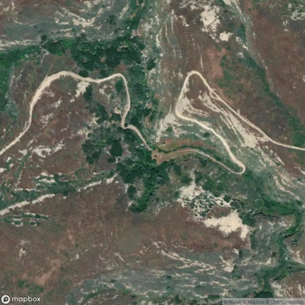
Map & elevation
Plan your hike

The highest, rockiest slopes around here are a summer buffet for grizzly bears.
Channel Islands Tour Guide
Parkwolf is a GPS audio tour guide for Channel Islands National Park. As you drive, it chimes in with what’s ahead: hidden gems, upcoming stops, history, geology, and wildlife, right through your car’s speakers.
See the Channel Islands audio tourRecorded for this area
The Ranger-Led Walk to the Caliche Forest“You're about to start the main event on San Miguel, the ranger-led walk from Cuyler Harbor to the Caliche Forest. This guided trek is the only way to get from the beach into the island's interior.”
Plays near this trailhead in the Parkwolf Channel Islands Tour Guide.
More stories near here in the app
“Fantastic app with many points of information… It’s great to just turn on while you’re driving and it gives you an audio tour of the national Park. We love it!!!!”


Trail guide
This is prime wildlife territory. San Miguel hosts one of the world’s largest collections of pinnipeds—expect the possibility of elephant seals, harbor seals, and sea lions on or near the beach depending on season. Give all wildlife plenty of space and never approach or disturb them. Migratory seabirds frequent the area, and the views alone make this a rewarding wander.
Rated easy, the route follows mostly flat sand with negligible elevation change. Figure on 1–1.5 hours, depending on how often you stop for photos or wildlife viewing. It’s not wheelchair accessible due to the sandy surface. You can explore the beach from the landing area toward both ends, generally to where sand meets rocks.
Cuyler Harbor is the only approved landing area on San Miguel Island. All visitors must complete an access permit/liability waiver. Unescorted hiking is allowed on Cuyler Harbor Beach, Nidever Canyon, the Cabrillo Monument, and the Lester Ranch site; beyond these areas, travel is ranger-guided only due to the island’s history as a former bombing range and the potential for unexploded ordnance. Off-trail hiking is prohibited.
There is no drinking water or services on San Miguel—pack all water and supplies, and pack out everything you bring. Expect wind and sun exposure; bring layers, wind protection, and sunblock. Respect any wildlife closures and seasonal restrictions. Pets are not allowed.
Wildlife
 2,232 sightingsIsland FoxMost seen around 6 PMSighting map
 282 sightingsHumpback WhaleMost seen around 9 AMSighting map
 79 sightingsBlue WhaleMost seen around 7 AMSighting map
 101 sightingsGrey WhaleMost seen around 8 AMSighting map
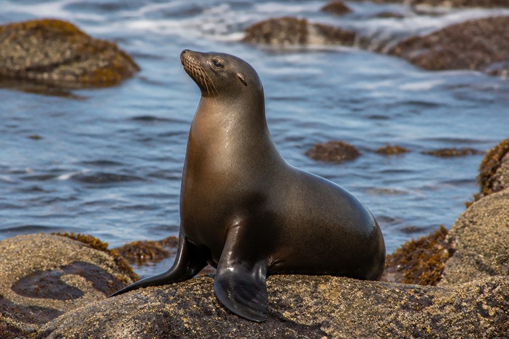 364 sightingsCalifornia Sea LionMost seen around noonSighting map
 105 sightingsBald EagleMost seen around 5 PMSighting map
Sighting maps show where each species has been reported across Channel Islands. Wildlife moves, so no sighting is guaranteed.
Keep exploring
 ChallengingCaliche Forest Trail5 mi · 3 hr · At the trailheadRanger-led trek to San Miguel’s eerie fossil “forest”.
 ChallengingPoint Bennett Trail16 mi · 6 hr · 0.5 mi awayRemote, ranger-led epic to roaring seal and sea lion colonies
 ModerateHarris Point Trail6.2 mi · 3.5 hr · 0.6 mi awayRanger-led bluff hike to Lester Point above Simonton Cove
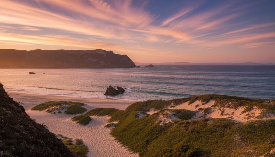 Beach · 0.3 mi awayCuyler HarborSan Miguel’s wild white‑sand landing with seals and sweeping cliffs
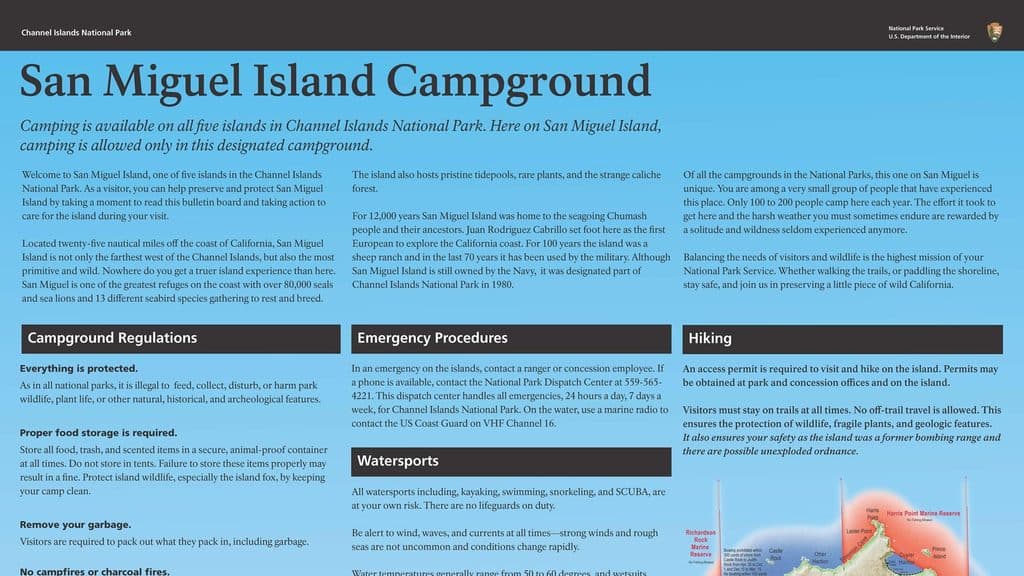 Campground · 0.5 mi awaySan Miguel Island CampgroundRemote, wind-battered bluff camp with prolific wildlife
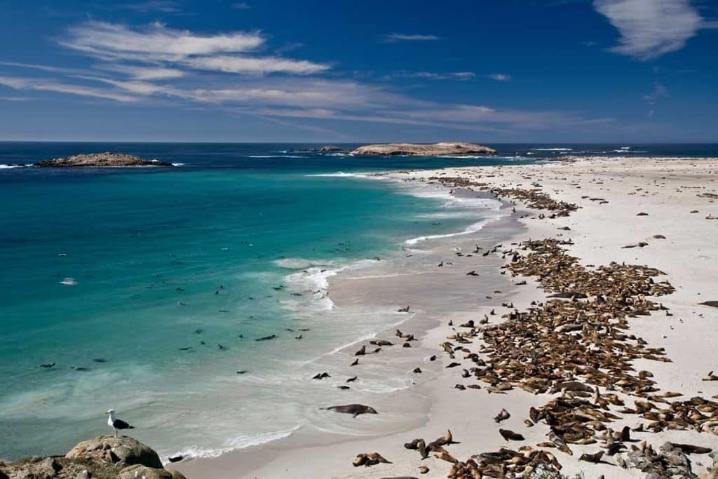 Sight · 1.3 mi awaySan Miguel IslandWindblown wilderness with colossal seal and sea lion colonies
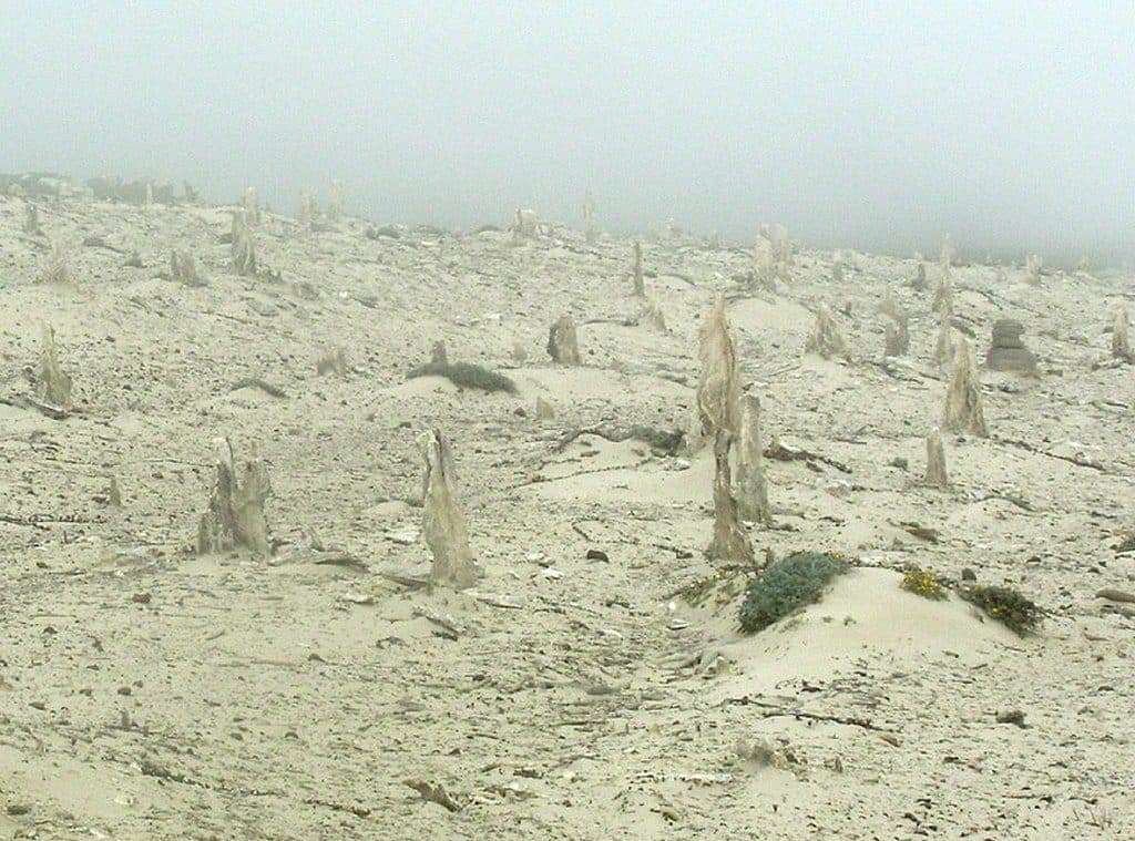 Sight · 1.5 mi awayCaliche ForestOtherworldly fossilized tree casts in windswept dunes
 Sight · 5.8 mi awayPoint BennettRemote rookery with thousands of seals and sea lions
Parkwolf’s Channel Islands ranking

The audio tour guide for the drive, plus offline maps, trails, and wildlife heatmaps for when the signal drops.