Parking
No parking on the island. Arrive by authorized boat to Cuyler Harbor and join the ranger-led group from the beach/camp area.

Channel Islands National Park, CA
Ranger-led trek to San Miguel’s eerie fossil “forest”.
Overview
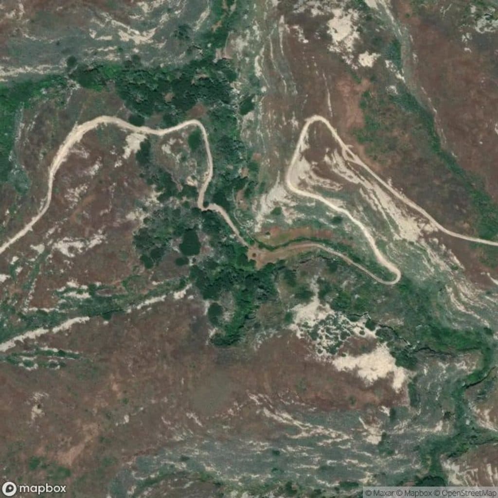
This is San Miguel Island's showstopper: a ranger-guided, out-and-back walk from Cuyler Harbor Beach to the otherworldly Caliche Forest. Expect about 5 miles total (round-trip) over exposed, uneven terrain with strenuous climbing. Independent access is not allowed—hikes run only with a ranger because of the island's former bombing-range history and the risk of unexploded ordnance. You must stay with the group and remain on the designated trail.
If you are into geology, paleobotany, or just love a truly singular landscape, absolutely. The hike is exposed and strenuous, but the Caliche Forest's surreal casts and the island's wild, remote feel make this one of the most distinctive hikes in the park. For a gentler day, consider staying closer to Cuyler Harbor's beaches and bluffs; the Caliche Forest route is the ranger-guided adventure with the genuine “nowhere-else” payoff.
 Parkwolf’s verdictIs It Worth It?
Map & elevation
Plan your hike

The highest, rockiest slopes around here are a summer buffet for grizzly bears.
Channel Islands Tour Guide
Parkwolf is a GPS audio tour guide for Channel Islands National Park. As you drive, it chimes in with what’s ahead: hidden gems, upcoming stops, history, geology, and wildlife, right through your car’s speakers.
See the Channel Islands audio tourRecorded for this trailhead
The Ranger-Led Walk to the Caliche Forest“You're about to start the main event on San Miguel, the ranger-led walk from Cuyler Harbor to the Caliche Forest. This guided trek is the only way to get from the beach into the island's interior.”
Plays as you drive up to this trailhead in the Parkwolf Channel Islands Tour Guide.
More stories near here in the app
“Fantastic app with many points of information… It’s great to just turn on while you’re driving and it gives you an audio tour of the national Park. We love it!!!!”


Trail guide
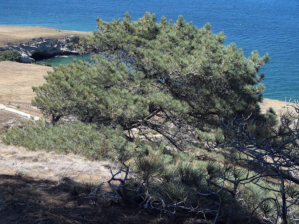
The payoff is a rare landscape of fossilized root and trunk casts—ghostly molds of ancient trees (likely pine and cypress) preserved in caliche and revealed by wind erosion. Some casts are impressively large, including a log-scale trunk cast more than 2.5 feet thick and 30 feet long. Underfoot, you'll cross caliche hardpan, sandy stretches, and windswept ridges with broad Pacific views. Keep an eye out for island foxes and seabirds; in spring, wildflowers dot the open slopes.
During the last ice age, wind-blown sands buried living vegetation. Over time, calcium carbonate from shell fragments leached through the soil, cementing sands into caliche and filling voids left by decayed roots and trunks—creating the hardened casts you see today. Later livestock grazing stripped protective topsoil, and relentless winds further exposed this “fossil forest.” It is one of the most unusual geologic sights in the park.
Wildlife
 2,232 sightingsIsland FoxMost seen around 6 PMSighting map
 282 sightingsHumpback WhaleMost seen around 9 AMSighting map
 79 sightingsBlue WhaleMost seen around 7 AMSighting map
 101 sightingsGrey WhaleMost seen around 8 AMSighting map
 364 sightingsCalifornia Sea LionMost seen around noonSighting map
 105 sightingsBald EagleMost seen around 5 PMSighting map
Sighting maps show where each species has been reported across Channel Islands. Wildlife moves, so no sighting is guaranteed.
Keep exploring
 EasyCuyler Harbor Beach Trail2 mi · 1.3 hr · At the trailheadRemote white sand stroll with sweeping surf and seal sightings
 ChallengingPoint Bennett Trail16 mi · 6 hr · 0.5 mi awayRemote, ranger-led epic to roaring seal and sea lion colonies
 ModerateHarris Point Trail6.2 mi · 3.5 hr · 0.6 mi awayRanger-led bluff hike to Lester Point above Simonton Cove
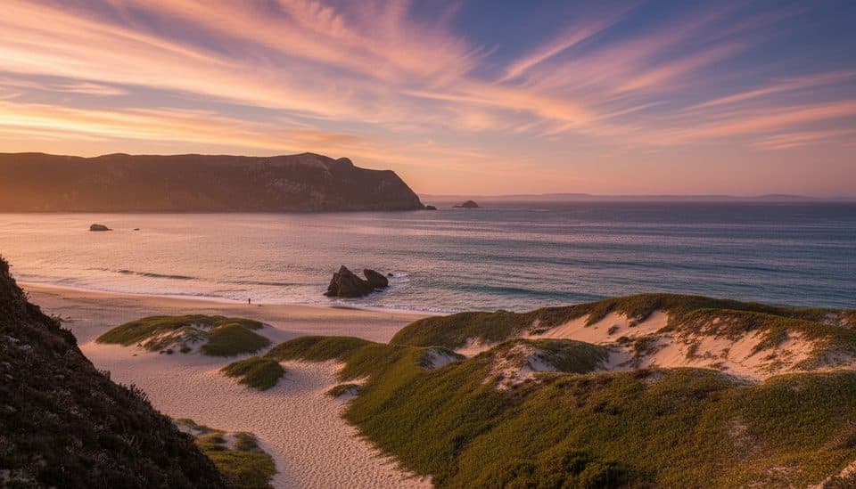 Beach · 0.3 mi awayCuyler HarborSan Miguel’s wild white‑sand landing with seals and sweeping cliffs
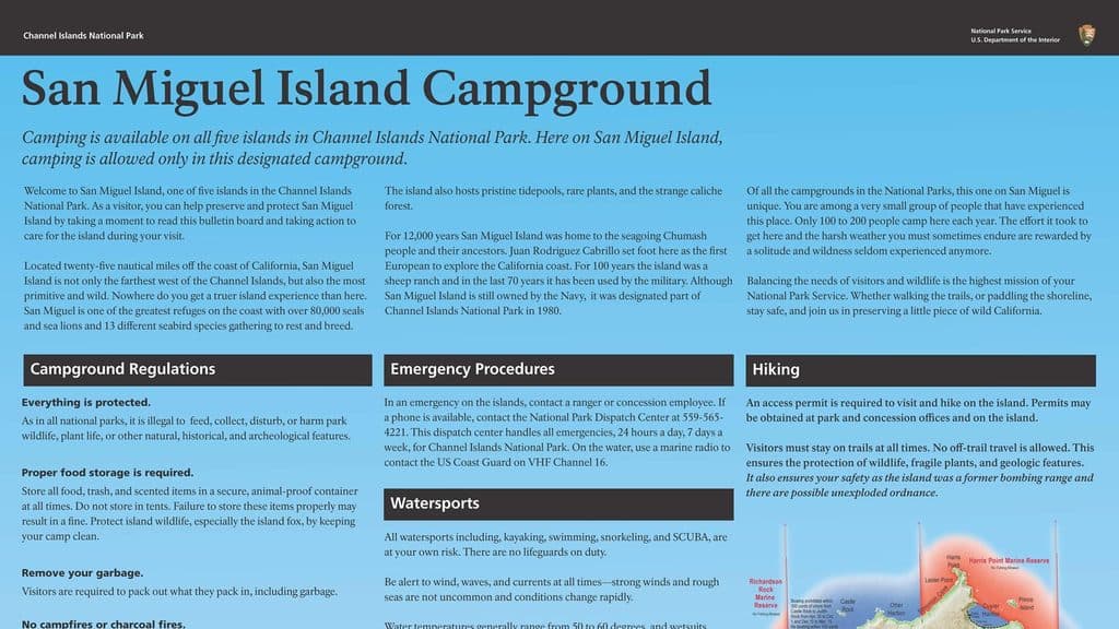 Campground · 0.5 mi awaySan Miguel Island CampgroundRemote, wind-battered bluff camp with prolific wildlife
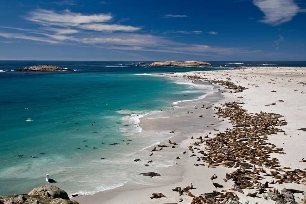 Sight · 1.3 mi awaySan Miguel IslandWindblown wilderness with colossal seal and sea lion colonies
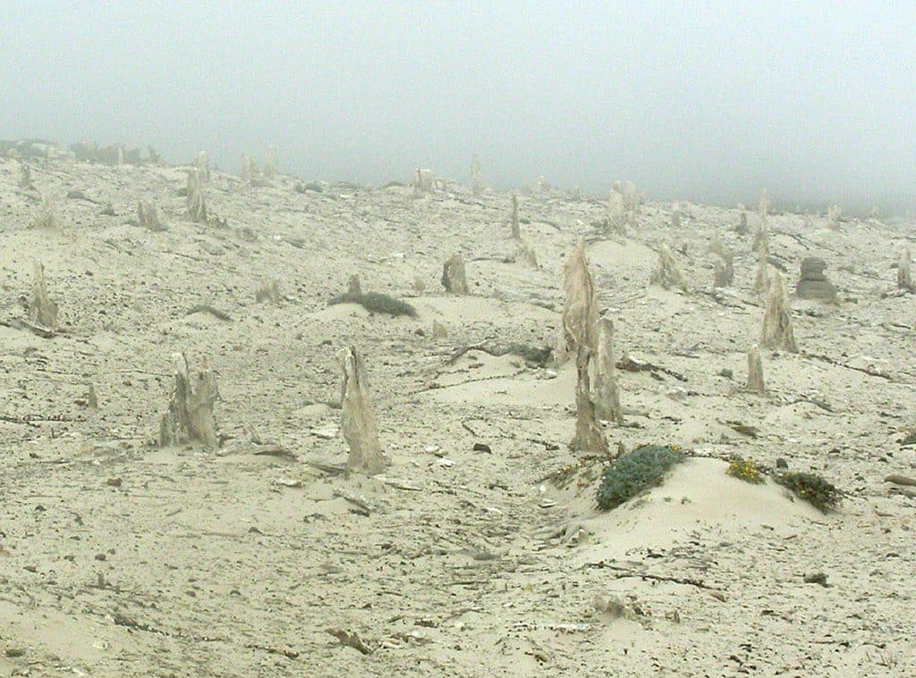 Sight · 1.5 mi awayCaliche ForestOtherworldly fossilized tree casts in windswept dunes
 Sight · 5.8 mi awayPoint BennettRemote rookery with thousands of seals and sea lions
Parkwolf’s Channel Islands ranking
The audio tour guide for the drive, plus offline maps, trails, and wildlife heatmaps for when the signal drops.