Parking
Use the large Moorage Road lot just before the road crosses Woodard Creek; cross the footbridge to the trail. A Discover Pass is required for day-use parking. Restrooms are at the boat launch and the far end of Beacon Rock Trailhead parking.
Columbia River Gorge National Scenic Area, OR · WA
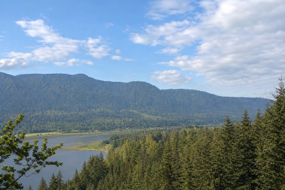
A short forest connector with a Beacon Rock view at Riddell Lake
Overview
Map & elevation
Plan your hike

The highest, rockiest slopes around here are a summer buffet for grizzly bears.
Columbia River Gorge Tour Guide
Parkwolf is a GPS audio tour guide for Columbia River Gorge National Scenic Area. As you drive, it chimes in with what’s ahead: hidden gems, upcoming stops, history, geology, and wildlife, right through your car’s speakers.
Recorded for this trailhead
Doetsch Ranch River Walks“You're approaching Doetsch Ranch Day Use Area, where a paved loop circles former pasture beside the Columbia.”
Plays as you drive up to this trailhead in the Parkwolf Columbia River Gorge Tour Guide.
More stories near here in the app
“Fantastic app with many points of information… It’s great to just turn on while you’re driving and it gives you an audio tour of the national Park. We love it!!!!”


Trail guide
River to Rock is a 1.5-mile out-and-back from the Woodard Creek footbridge on Moorage Road to the west end of Beacon Rock Trailhead. It gains about 272 feet and is an easy-to-moderate walk. Allow about 50 minutes to an hour with a short look at the lake. This is a pleasant connector from the river side to Beacon Rock’s main trailhead, but it does not climb the Rock itself. Continue on the separate Beacon Rock Trail if the summit is your goal.
Cross the short footbridge and climb a few switchbacks before the path settles into a gradual northward rise through Douglas fir, alder, vine maple, huckleberry and ferns. A century-old filbert orchard hints at the land’s earlier use. Near a mossy brick structure of unknown origin and a walnut tree, an unmarked fork circles seasonal Riddell Lake. Take the left, west-side branch for the better view of Beacon Rock through the trees; the forks rejoin at the lake’s north end. The path passes under power lines, climbs slightly, then descends to State Route 14 at the west end of Beacon Rock’s trailhead parking area. Expect a shaded woodland walk and brief views through the trees, not a big open summit vista.
Park in the large lot on Moorage Road just before it crosses Woodard Creek; the bridge is the trail entrance. Retrace the route for the listed out-and-back distance. At the north end, you can also walk east through the parking area to the bulletin board at Beacon Rock Trail’s start, but that continuation is outside this trail’s mapped line. Day-use parking requires a Discover Pass, dogs must be leashed, and park trails are open 8 AM to dusk. Restrooms are at the boat launch and at the far end of Beacon Rock Trailhead parking, not along the forested section. The footbridge can be removed during high water; check access if the creek is running high.
Wildlife
 267 sightingsBald EagleMost seen around 7 AMSighting map
 51 sightingsBlack BearMost seen around 7 PMSighting map
 136 sightingsAmerican PikaMost seen around 8 AMSighting map
 16 sightingsWapitiMost seen around 7 AMSighting map
 195 sightingsMule DeerMost seen around 7 AMSighting map
 74 sightingsChinook SalmonMost seen around 6 PMSighting map
Sighting maps show where each species has been reported across Columbia River Gorge. Wildlife moves, so no sighting is guaranteed.
Keep exploring
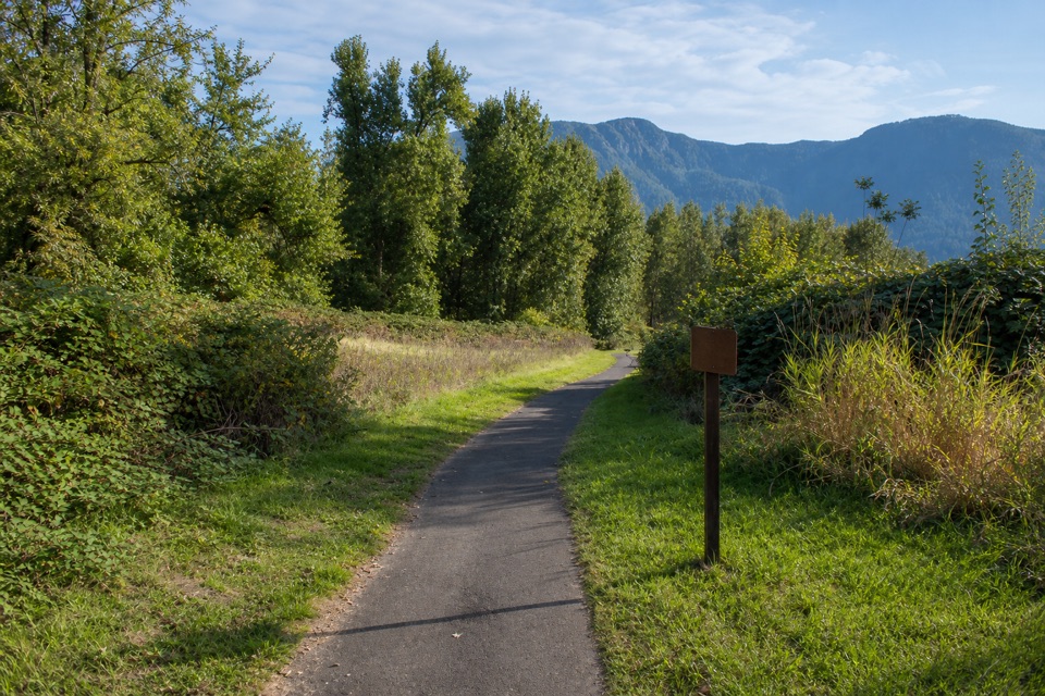 EasyDoetsch Walking Path1.2 mi · 36 min · 0.3 mi awayA nearly flat meadow loop with Gorge views and ranch history.
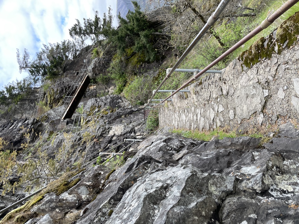 ModerateBeacon Rock Trail1.8 mi · 1.5 hr · 0.5 mi awayFifty switchbacks turn a short climb into a Gorge overlook.
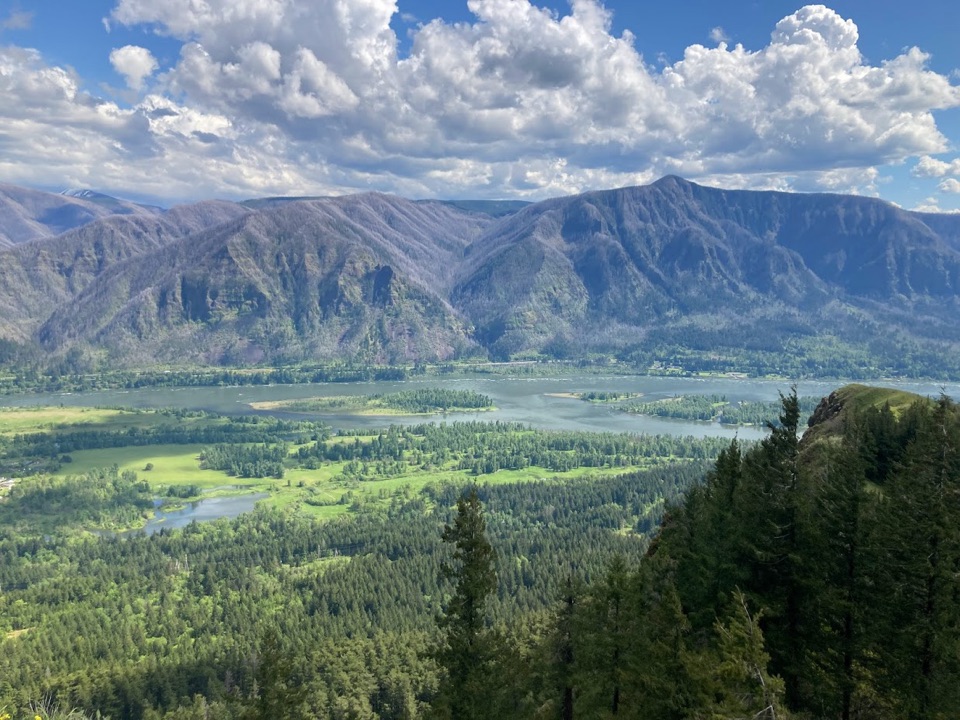 ChallengingHamilton Mountain Summit Loop7.9 mi · 5 hr · 0.8 mi awayWaterfalls first, then a steep ridge climb and a big Gorge view.
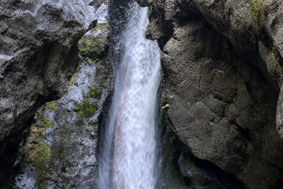 ModerateHardy Falls and Rodney Falls Trail2.5 mi · 2 hr · 0.8 mi awayThree falls, two viewpoints, and no need to climb the summit.
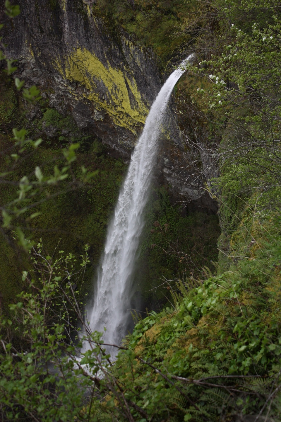 ModerateElowah Falls Trail1.5 mi · 1.5 hr · 1.1 mi awayA short, steep walk ends below a 213-foot waterfall.
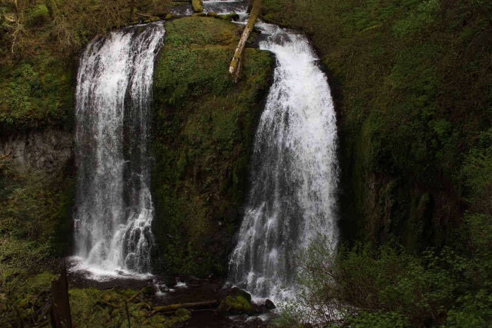 ModerateUpper McCord Creek Falls1.9 mi · 1.8 hr · 1.1 mi awayTwo falls, open Gorge views, and a steep cliffside climb.
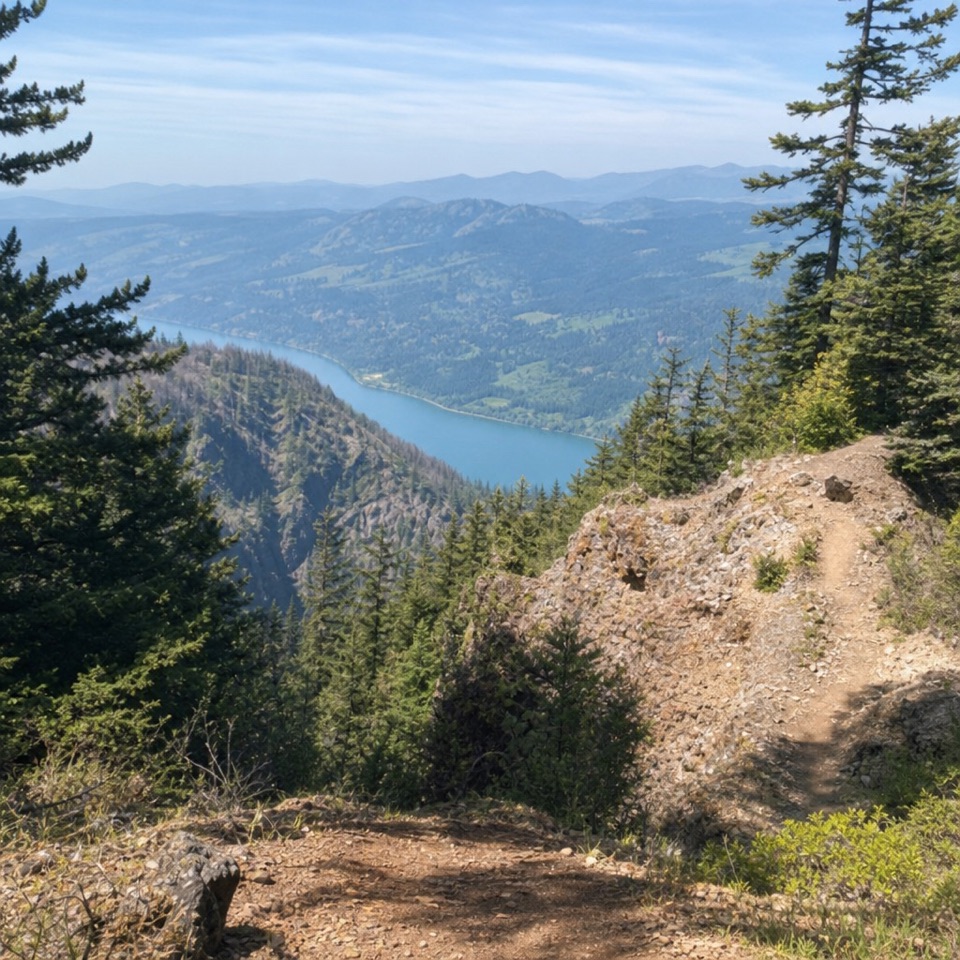 ChallengingNesmith Point Trail8.4 mi · 7.5 hr · 1.1 mi awayA steep climb to an old lookout and wide Gorge views.
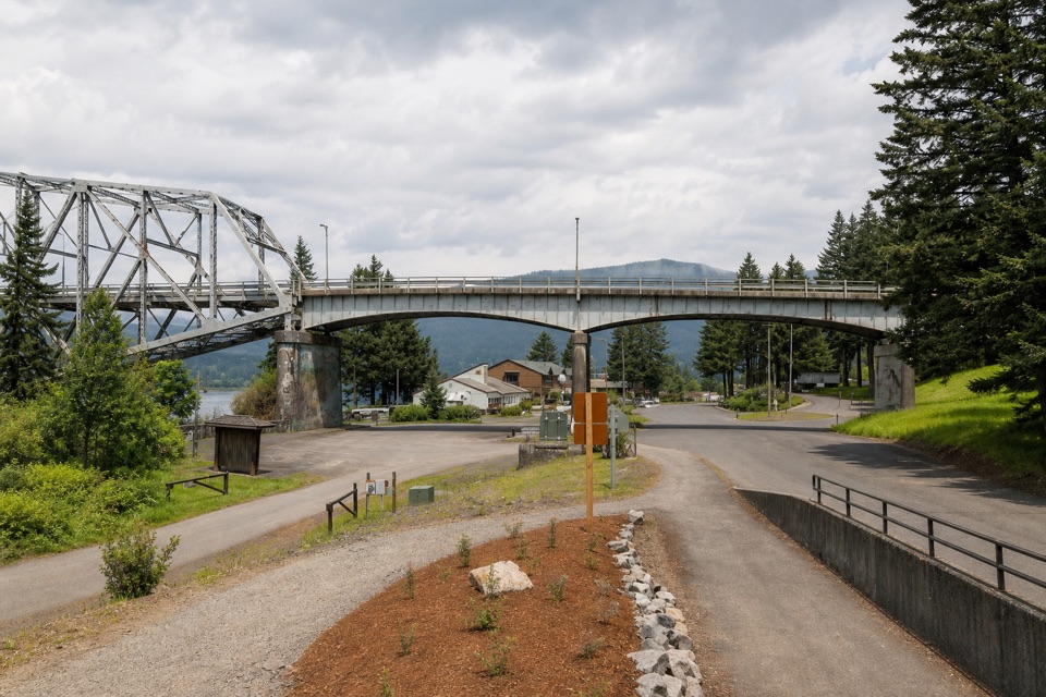 ModerateHistoric Columbia River Highway State Trail: Bonneville Segment7 mi · 3.5 hr · 1.1 mi awayPaved Gorge miles, old bridges, and Ruckel Creek's easy-to-miss falls.
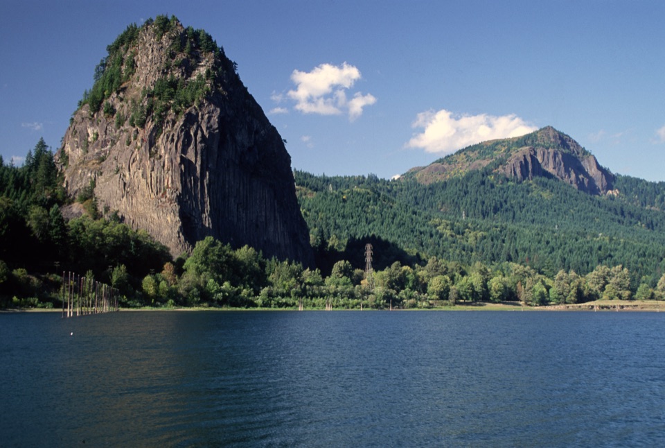 Sight · 0.5 mi awayBeacon RockA basalt landmark with a switchback trail above the Columbia.
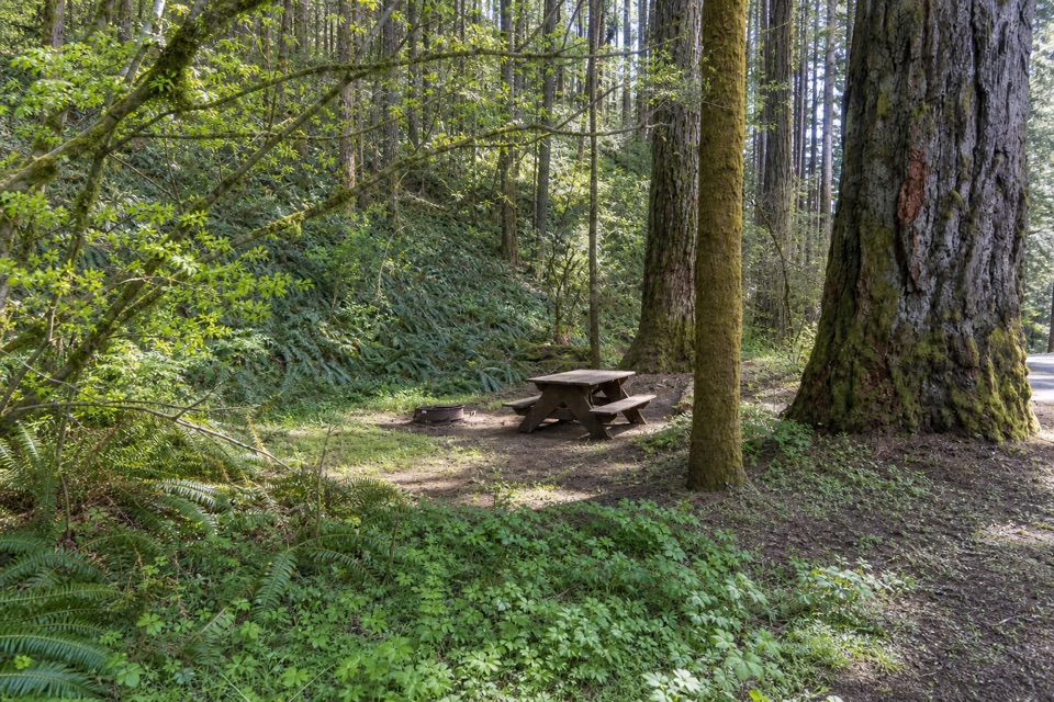 Campground · 0.9 mi awayBeacon Rock State Park CampgroundOld CCC tent loop with Hamilton Mountain trails from your site
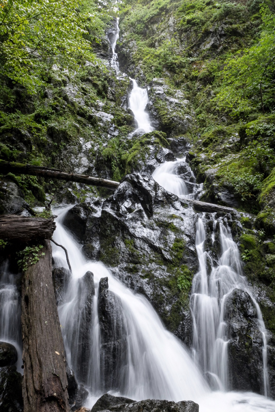 Sight · 1.5 mi awayHardy FallsA 90-foot cascade hides just off the Hamilton Mountain trail.
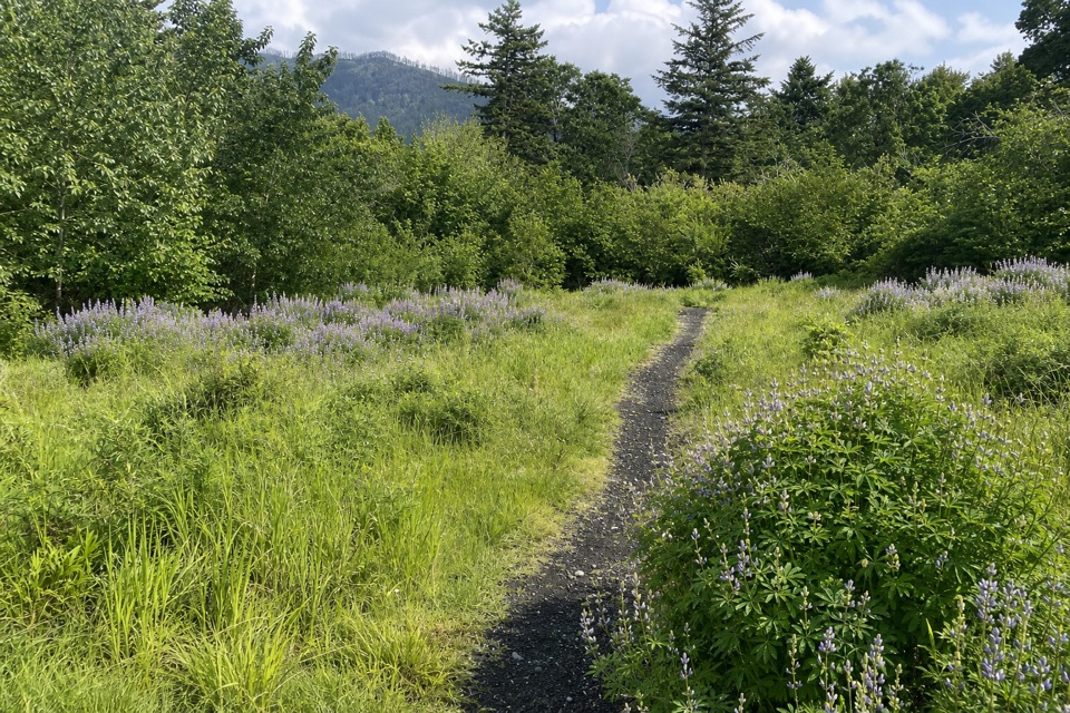 Picnic area · 1.5 mi awaySams Walker Day Use AreaFlat loops link former fields, oak woods and river overlooks.Sight · 1.5 mi awayElowah FallsA 213-foot plunge framed by ancient lava and a green ravine.
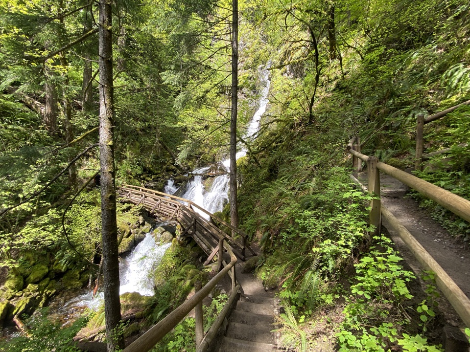 Sight · 1.6 mi awayRodney Falls & Pool of the WindsA waterfall pours through a narrow rock chamber into a spray-filled pool.
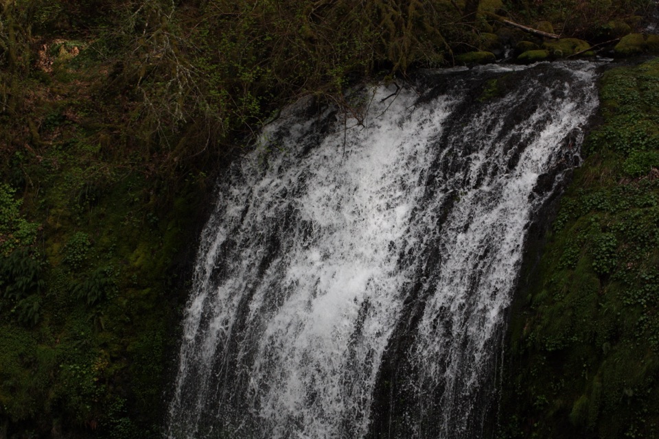 Sight · 1.6 mi awayUpper McCord Creek FallsA narrow cliffside trail climbs to a twin cascade above Elowah.
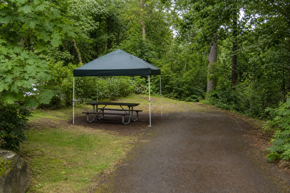 Campground · 2.3 mi awayAinsworth State Park CampgroundA wooded base close to Waterfall Corridor hikes.
Parkwolf’s Columbia River Gorge ranking

The audio tour guide for the drive, plus offline maps, trails, and wildlife heatmaps for when the signal drops.





