Parking
Use the base-of-rock lots just off State Route 14 inside Beacon Rock State Park. The trail starts at the west end; a Discover Pass machine and restrooms are at the east lot. There are about 30 spaces across the two lots.
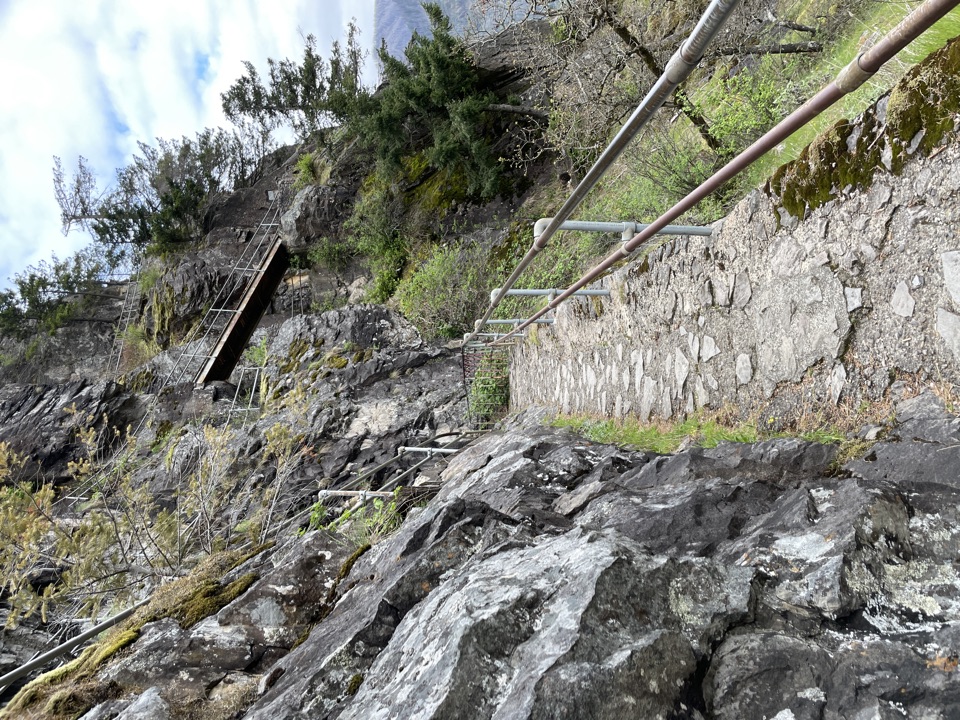
#7 of 111 trails in Columbia River Gorge
Columbia River Gorge National Scenic Area, OR · WA
Fifty switchbacks turn a short climb into a Gorge overlook.
Overview
Beacon Rock Trail is a 1.8-mile out-and-back from the west end of the base parking area to the 848-foot summit of the basalt monolith beside the Columbia. The route climbs about 600 feet. It’s a short, steady, moderate climb with exposed bends, railings and dozens of tight turns, not a casual riverside stroll. Allow around an hour and a half, with pauses. It earns its place if you want a close look at one of the Gorge’s most unusual trail builds and a river view without giving up a full day.
Map & elevation
Plan your hike

The highest, rockiest slopes around here are a summer buffet for grizzly bears.
Columbia River Gorge Tour Guide
Parkwolf is a GPS audio tour guide for Columbia River Gorge National Scenic Area. As you drive, it chimes in with what’s ahead: hidden gems, upcoming stops, history, geology, and wildlife, right through your car’s speakers.
Recorded for this trailhead
Beacon Rock“You're approaching Beacon Rock, the basalt core of an extinct volcano with a trail wrapped onto its face.”
Plays as you drive up to this trailhead in the Parkwolf Columbia River Gorge Tour Guide.
More stories near here in the app
“Fantastic app with many points of information… It’s great to just turn on while you’re driving and it gives you an audio tour of the national Park. We love it!!!!”


Trail guide
After a brief wooded approach, the trail gets onto the open west face. The rough, stepped path threads 17 viaducts and about 52 closely spaced switchbacks, many so tight you can see the next stretch almost directly above. Handrails line the route, and the walking surface changes between bare rock, small concrete patches, concrete platforms and wooden bridges. You’re following an engineered line pinned to the rock, not a hillside path that meanders up a forested slope. Windows open downriver toward Angel’s Rest and Cape Horn, with islands, river and steep Gorge walls below. Those open bends make the best photo stops; trees partly screen the top, so take your time with the views on the way up.
Henry Biddle and Charles Johnson cut the trail into the rock between 1915 and 1918. Plaques along the path point out their work as the trail turns back on itself again and again. Beacon Rock is the exposed core of an old volcano, and the Ice Age floods that scoured the Gorge once put the rock’s top roughly 200 feet underwater. It’s a vivid bit of geology to keep in mind as the path clings to the basalt.
Above the open face, the tread wraps around the lower south summit and climbs the east side toward the higher north summit. This part is more wooded, but gaps still look toward Hamilton Mountain and upriver toward Bonneville Dam. A handful of tall steps leads to the summit pinnacle. Reaching the top is satisfying, though trees break up some of the view; the best wide river outlooks are on the ascent. The route returns the same way. Expect other hikers on the narrow turns and bridges, especially on busy days; pause on a wider landing when you need to let people pass.
The base-of-rock lots sit just off State Route 14 inside Beacon Rock State Park. The trail begins at the west end; a Discover Pass machine and restrooms are at the east lot, and the west lot has a picnic table. The two lots hold about 30 cars together. A Discover Pass is required. Plan to carry your water from the lot; no refill is marked on the trail. Dogs are allowed on leash, up to eight feet long, but this narrow, stepped route is a poor match for pets that aren’t comfortable sharing tight platforms. If you want a much shorter walk instead, the nearby path to Riddell Lake is under half a mile round trip from the picnic area and gives a close view back toward Beacon Rock.
Wildlife
 267 sightingsBald EagleMost seen around 7 AMSighting map
 51 sightingsBlack BearMost seen around 7 PMSighting map
 136 sightingsAmerican PikaMost seen around 8 AMSighting map
 16 sightingsWapitiMost seen around 7 AMSighting map
 195 sightingsMule DeerMost seen around 7 AMSighting map
 74 sightingsChinook SalmonMost seen around 6 PMSighting map
Sighting maps show where each species has been reported across Columbia River Gorge. Wildlife moves, so no sighting is guaranteed.
Keep exploring
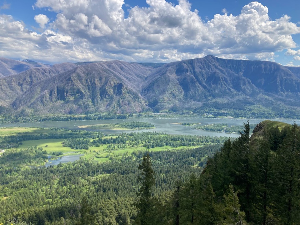 ChallengingHamilton Mountain Summit Loop7.9 mi · 5 hr · 0.3 mi awayWaterfalls first, then a steep ridge climb and a big Gorge view.
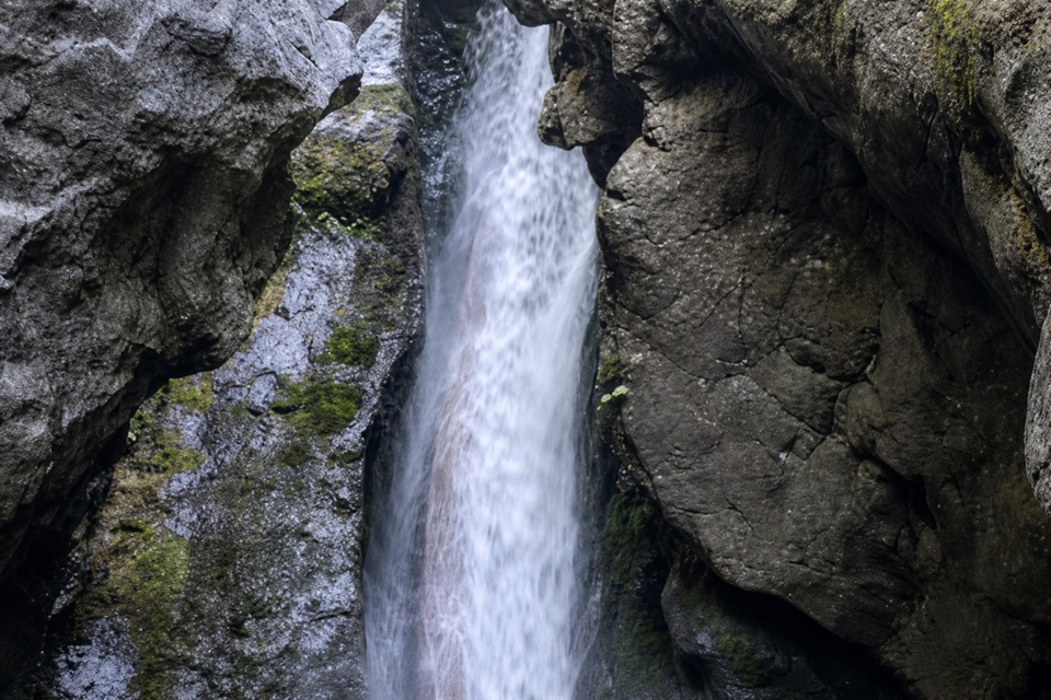 ModerateHardy Falls and Rodney Falls Trail2.5 mi · 2 hr · 0.3 mi awayThree falls, two viewpoints, and no need to climb the summit.
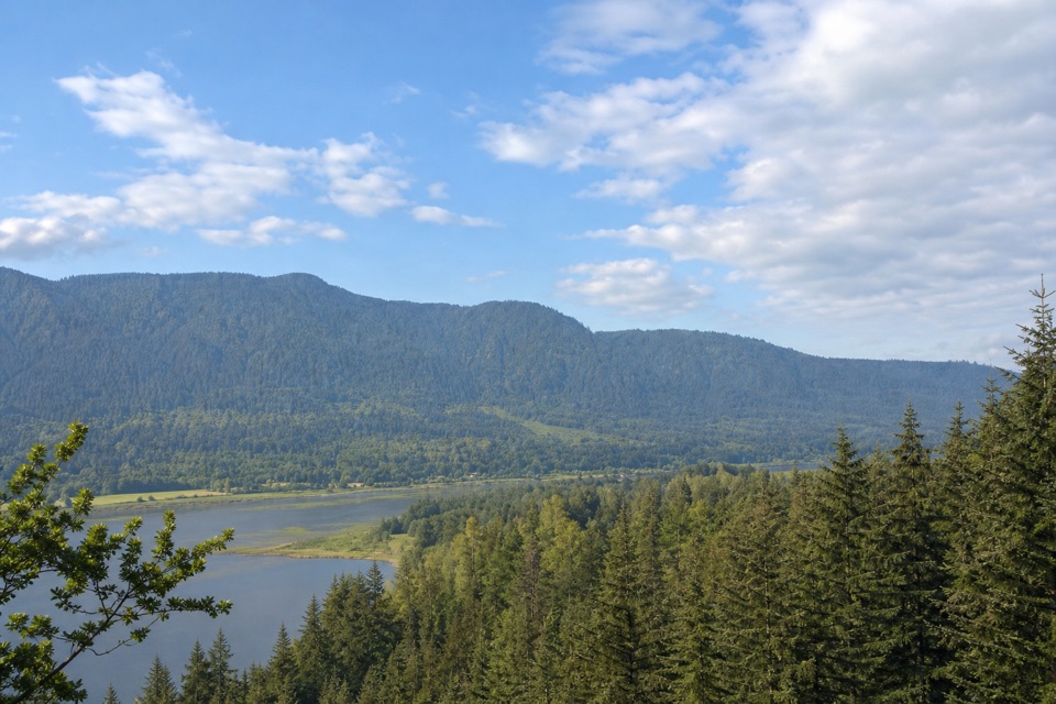 EasyRiver to Rock Trail1.5 mi · 54 min · 0.5 mi awayA short forest connector with a Beacon Rock view at Riddell Lake
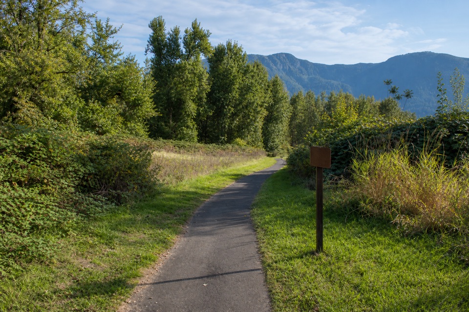 EasyDoetsch Walking Path1.2 mi · 36 min · 0.7 mi awayA nearly flat meadow loop with Gorge views and ranch history.
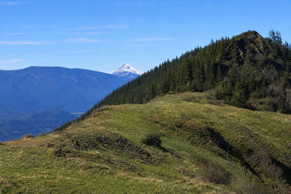 ModerateThe Saddle via Equestrian Trail7 mi · 4.5 hr · 1 mi awayA steady forest climb ends in a rocky gorge overlook.
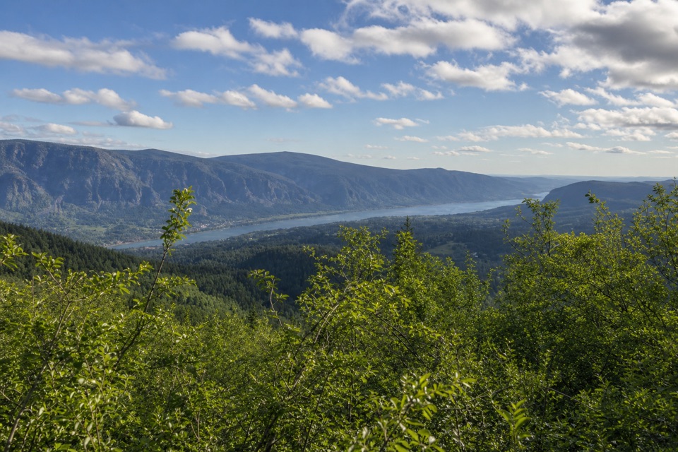 ChallengingHardy Ridge Loop8.1 mi · 5.5 hr · 1 mi awayA steep forest climb opens onto a rocky crest above the Gorge.
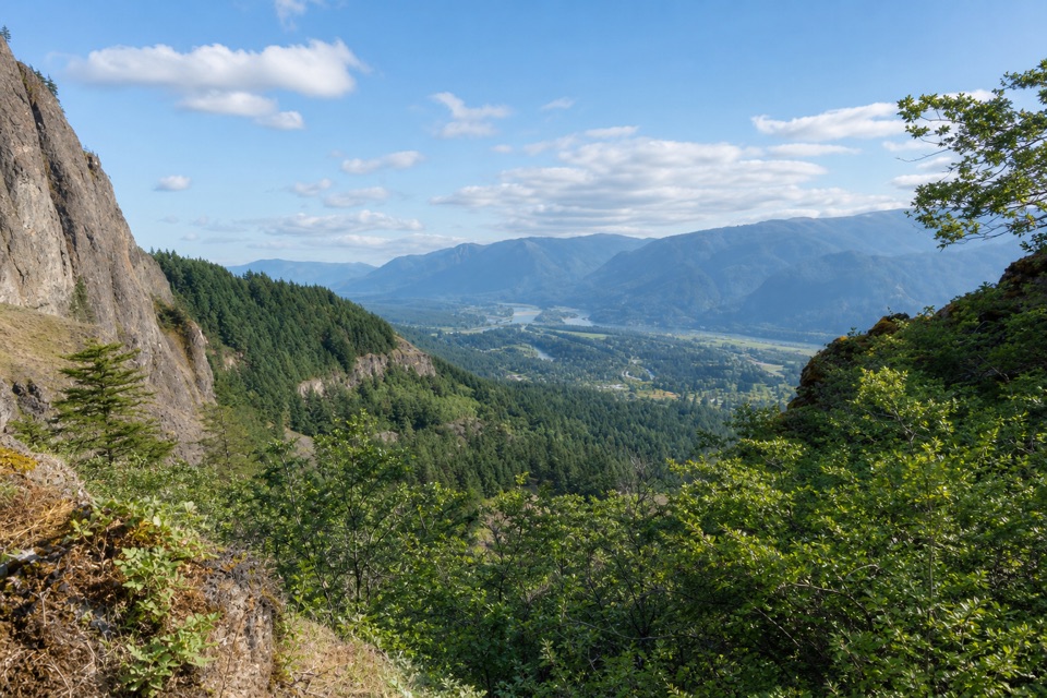 ModerateWest Hardy Trail5.6 mi · 3.5 hr · 1 mi awayA steady climb opens to west-facing Columbia Gorge views.
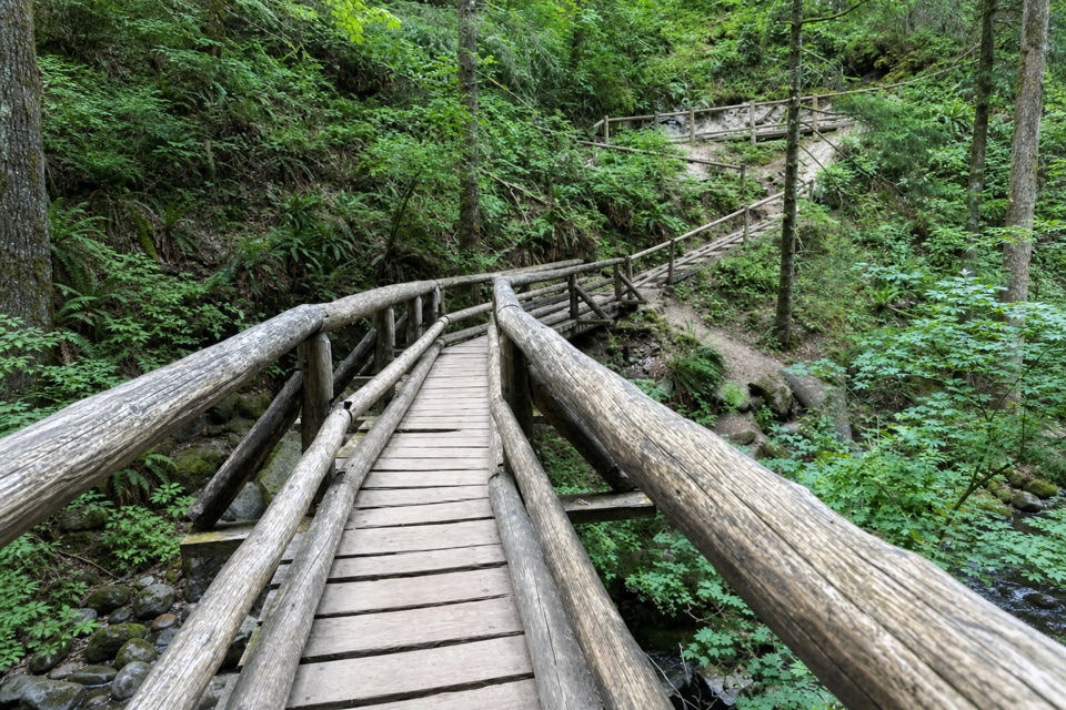 ModerateBridge Trail Loop7 mi · 4 hr · 1 mi awayA wooded loop to Hardy Creek’s big wooden bridge.
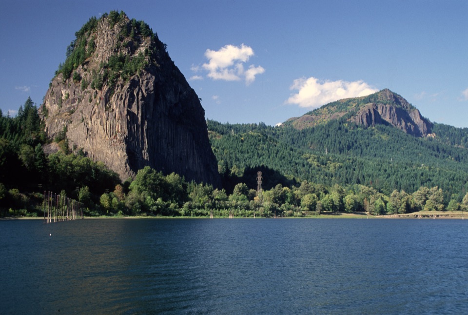 Sight · At the trailheadBeacon RockA basalt landmark with a switchback trail above the Columbia.
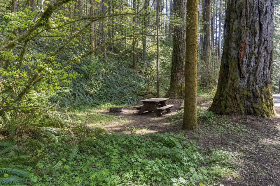 Campground · 0.4 mi awayBeacon Rock State Park CampgroundOld CCC tent loop with Hamilton Mountain trails from your site
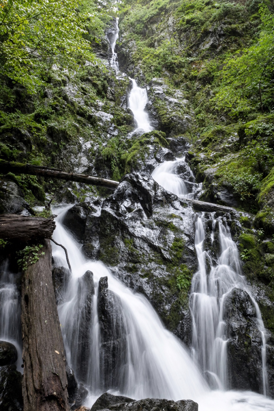 Sight · 1 mi awayHardy FallsA 90-foot cascade hides just off the Hamilton Mountain trail.
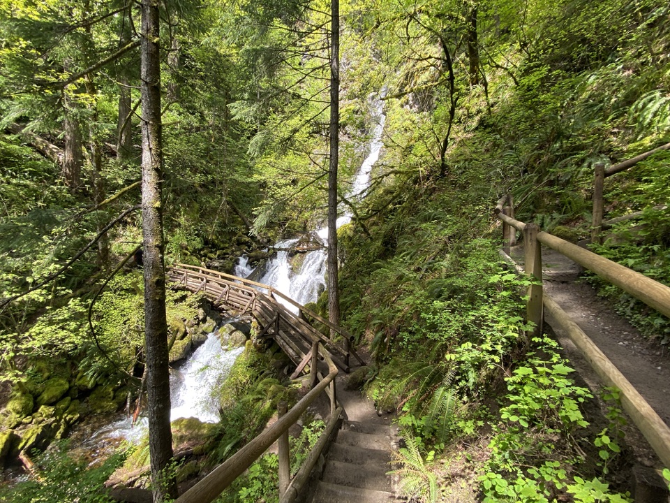 Sight · 1.1 mi awayRodney Falls & Pool of the WindsA waterfall pours through a narrow rock chamber into a spray-filled pool.
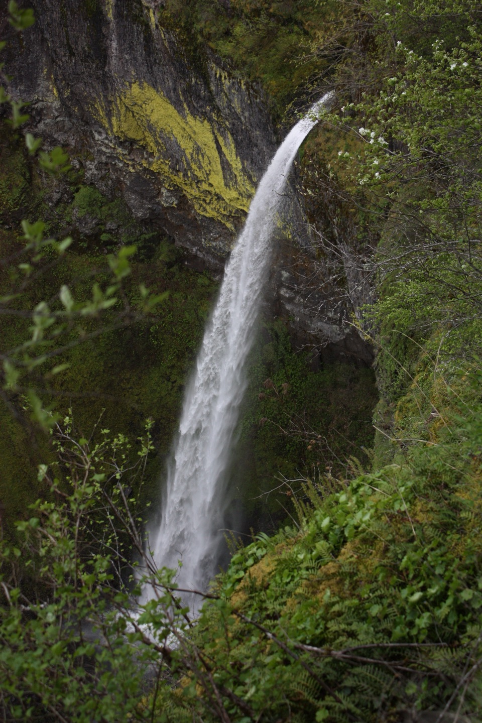 Sight · 1.8 mi awayElowah FallsA 213-foot plunge framed by ancient lava and a green ravine.
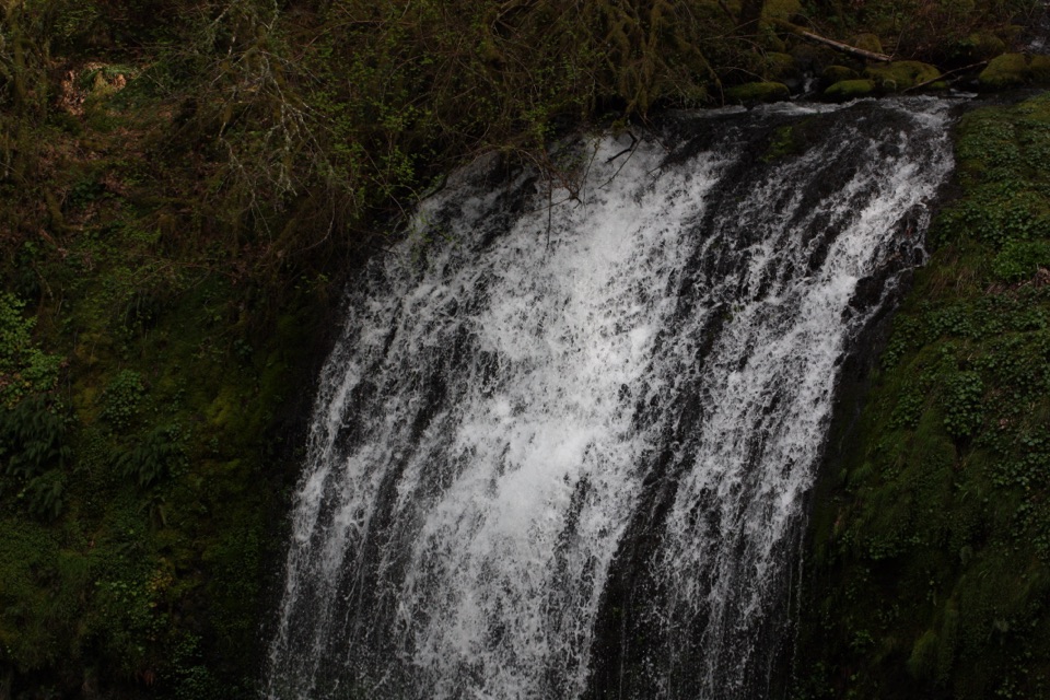 Sight · 1.8 mi awayUpper McCord Creek FallsA narrow cliffside trail climbs to a twin cascade above Elowah.
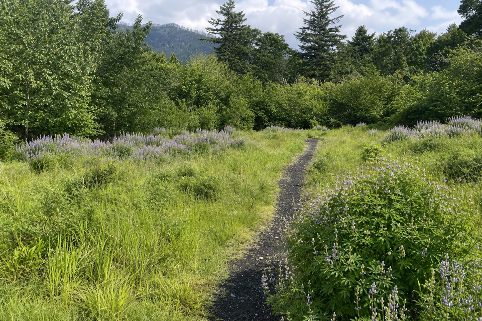 Picnic area · 1.9 mi awaySams Walker Day Use AreaFlat loops link former fields, oak woods and river overlooks.
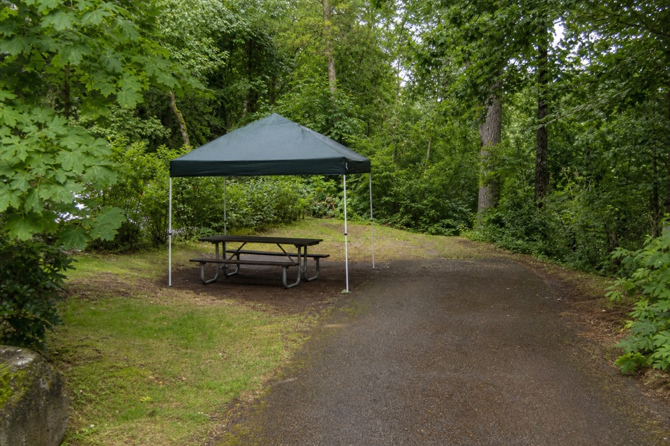 Campground · 2.7 mi awayAinsworth State Park CampgroundA wooded base close to Waterfall Corridor hikes.
Parkwolf’s Columbia River Gorge ranking

The audio tour guide for the drive, plus offline maps, trails, and wildlife heatmaps for when the signal drops.





