Parking
Start at the Doetsch Ranch Day Use Area parking loop. WTA reports space for about 30 cars; restrooms and a large picnic area are at the same access.
Columbia River Gorge National Scenic Area, OR · WA
A nearly flat meadow loop with Gorge views and ranch history.
Overview
Map & elevation
Plan your hike

The highest, rockiest slopes around here are a summer buffet for grizzly bears.
Columbia River Gorge Tour Guide
Parkwolf is a GPS audio tour guide for Columbia River Gorge National Scenic Area. As you drive, it chimes in with what’s ahead: hidden gems, upcoming stops, history, geology, and wildlife, right through your car’s speakers.
Recorded for this trailhead
Doetsch Ranch River Walks“You're approaching Doetsch Ranch Day Use Area, where a paved loop circles former pasture beside the Columbia.”
Plays as you drive up to this trailhead in the Parkwolf Columbia River Gorge Tour Guide.
More stories near here in the app
“Fantastic app with many points of information… It’s great to just turn on while you’re driving and it gives you an audio tour of the national Park. We love it!!!!”


Trail guide
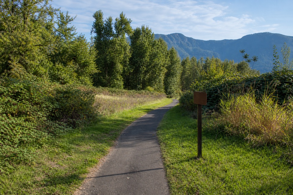
Doetsch Walking Path is a 1.2-mile loop from Doetsch Ranch Day Use Area, circling former ranch pasture along the Columbia River shoreline. It is paved and nearly level, with interpretive panels about the area's natural and human history. Come for a gentle walk and Gorge views, not a climb; allow 30 to 45 minutes if you stop at the panels and benches.
The route moves between open grass and tree-lined edges, then brings you along the Columbia shore. Look east for Beacon Rock; the open parts also look across the river toward the Oregon side of the Gorge. The benches and panels make this more than a quick path through the grass. In spring, high river water can cover the beach, so do not count on getting down to the shoreline itself.
Park at the Doetsch Ranch Day Use Area; its parking loop is the walk's starting access. There is room for about 30 cars, with restrooms and a large picnic area beside it. A Washington State Parks pass or one-day pass is required. Dogs are allowed on leash, and the path is for foot traffic or bicycles. Food or drinking water at the trailhead was not identified.
Wildlife
 267 sightingsBald EagleMost seen around 7 AMSighting map
 51 sightingsBlack BearMost seen around 7 PMSighting map
 136 sightingsAmerican PikaMost seen around 8 AMSighting map
 16 sightingsWapitiMost seen around 7 AMSighting map
 195 sightingsMule DeerMost seen around 7 AMSighting map
 74 sightingsChinook SalmonMost seen around 6 PMSighting map
Sighting maps show where each species has been reported across Columbia River Gorge. Wildlife moves, so no sighting is guaranteed.
Keep exploring
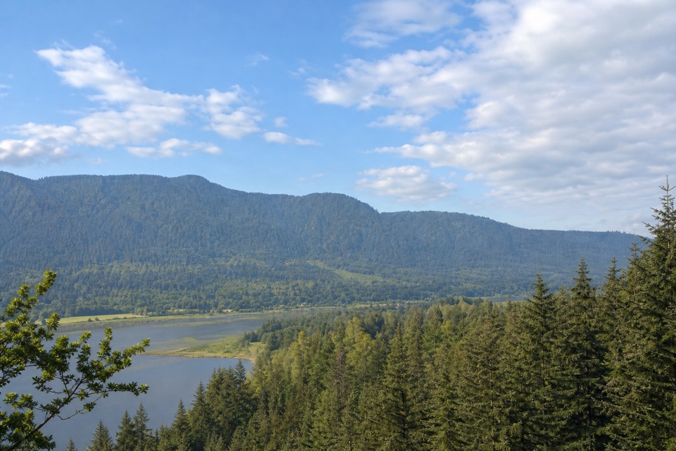 EasyRiver to Rock Trail1.5 mi · 54 min · 0.3 mi awayA short forest connector with a Beacon Rock view at Riddell Lake
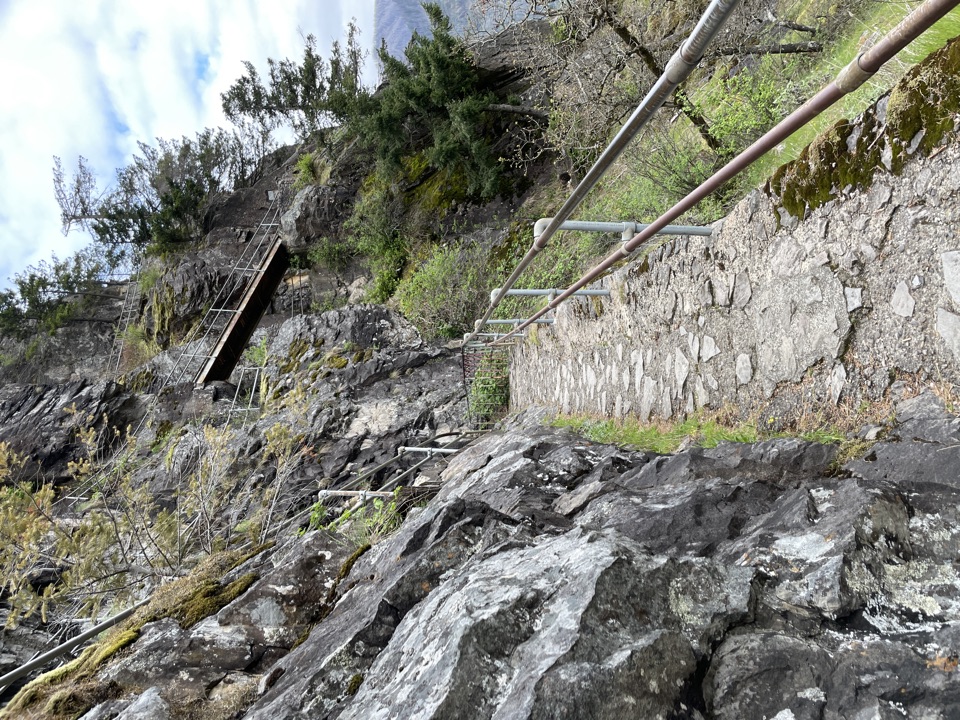 ModerateBeacon Rock Trail1.8 mi · 1.5 hr · 0.7 mi awayFifty switchbacks turn a short climb into a Gorge overlook.
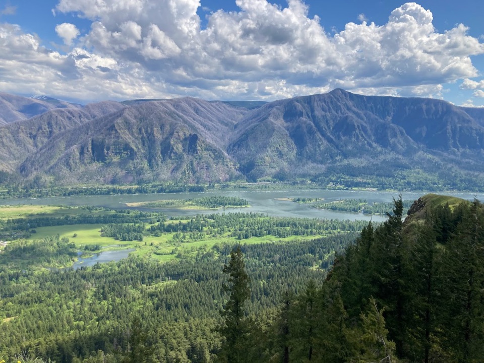 ChallengingHamilton Mountain Summit Loop7.9 mi · 5 hr · 1 mi awayWaterfalls first, then a steep ridge climb and a big Gorge view.
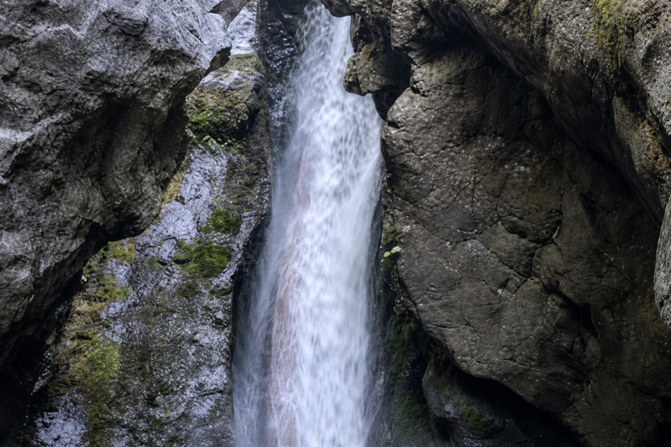 ModerateHardy Falls and Rodney Falls Trail2.5 mi · 2 hr · 1 mi awayThree falls, two viewpoints, and no need to climb the summit.
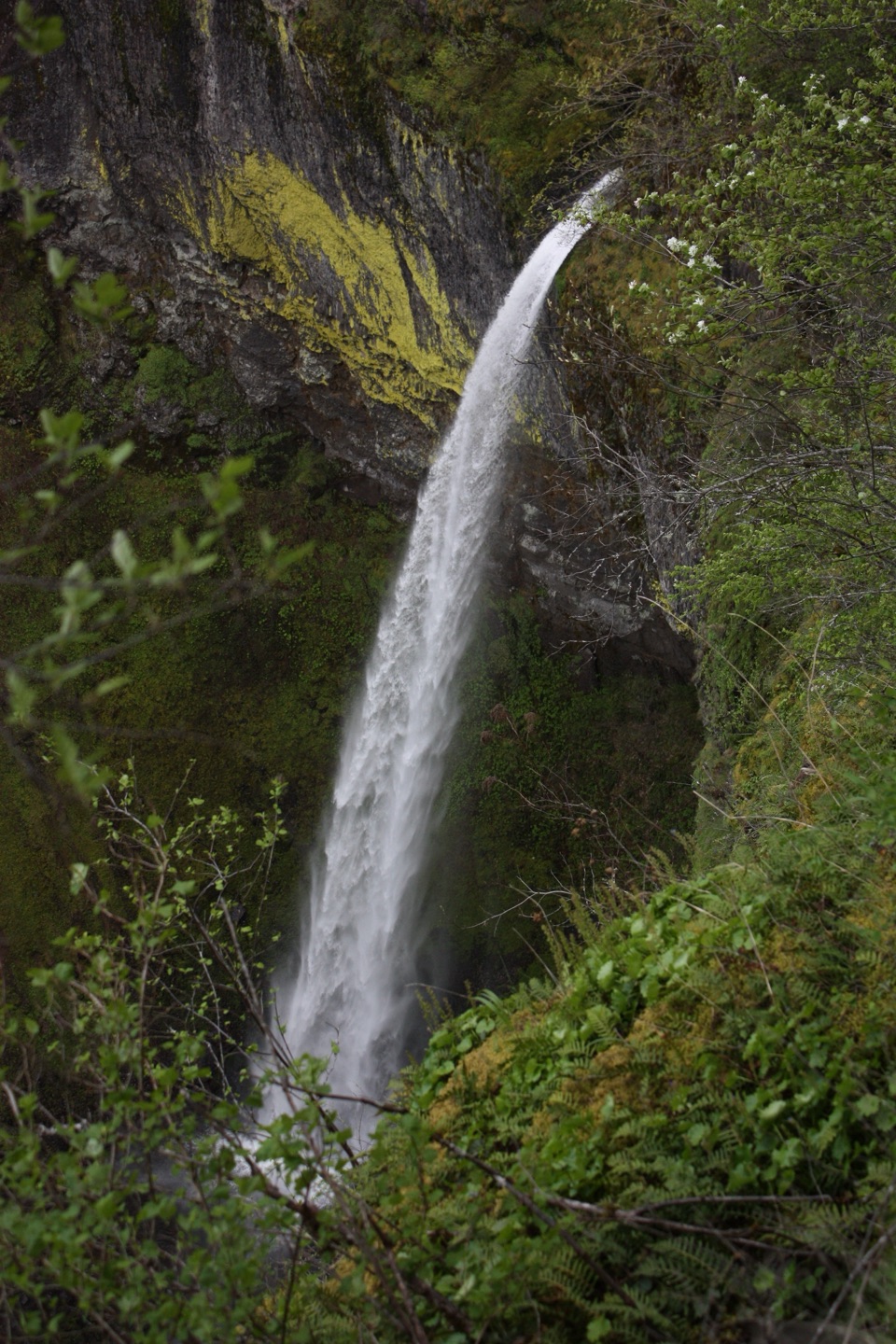 ModerateElowah Falls Trail1.5 mi · 1.5 hr · 1.2 mi awayA short, steep walk ends below a 213-foot waterfall.
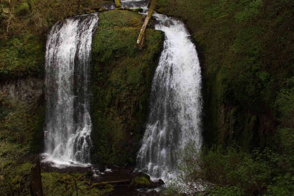 ModerateUpper McCord Creek Falls1.9 mi · 1.8 hr · 1.2 mi awayTwo falls, open Gorge views, and a steep cliffside climb.
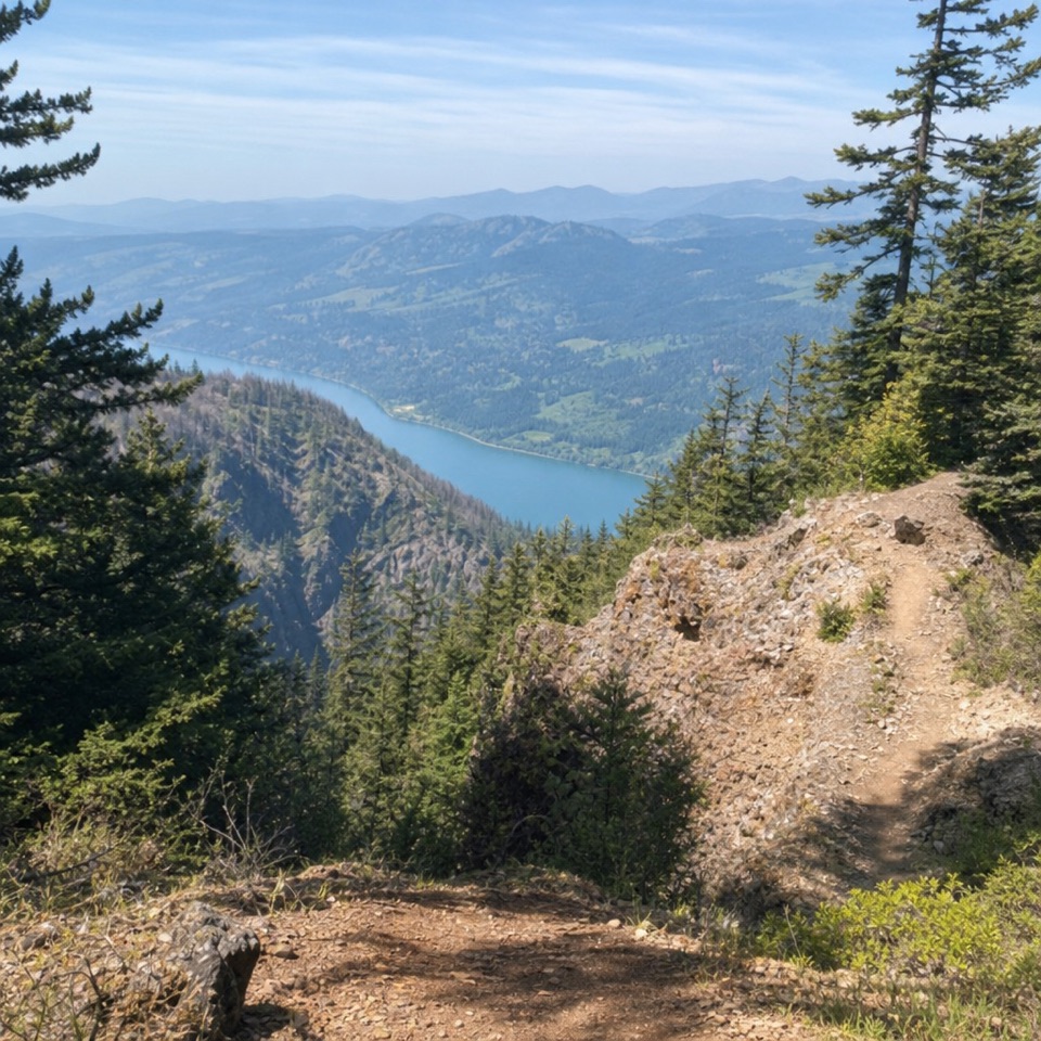 ChallengingNesmith Point Trail8.4 mi · 7.5 hr · 1.2 mi awayA steep climb to an old lookout and wide Gorge views.
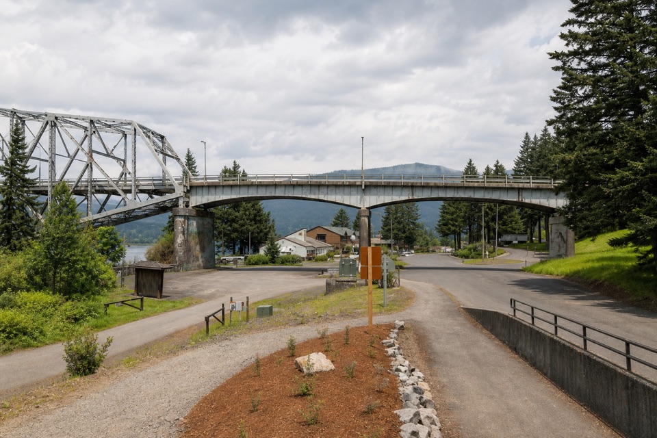 ModerateHistoric Columbia River Highway State Trail: Bonneville Segment7 mi · 3.5 hr · 1.2 mi awayPaved Gorge miles, old bridges, and Ruckel Creek's easy-to-miss falls.
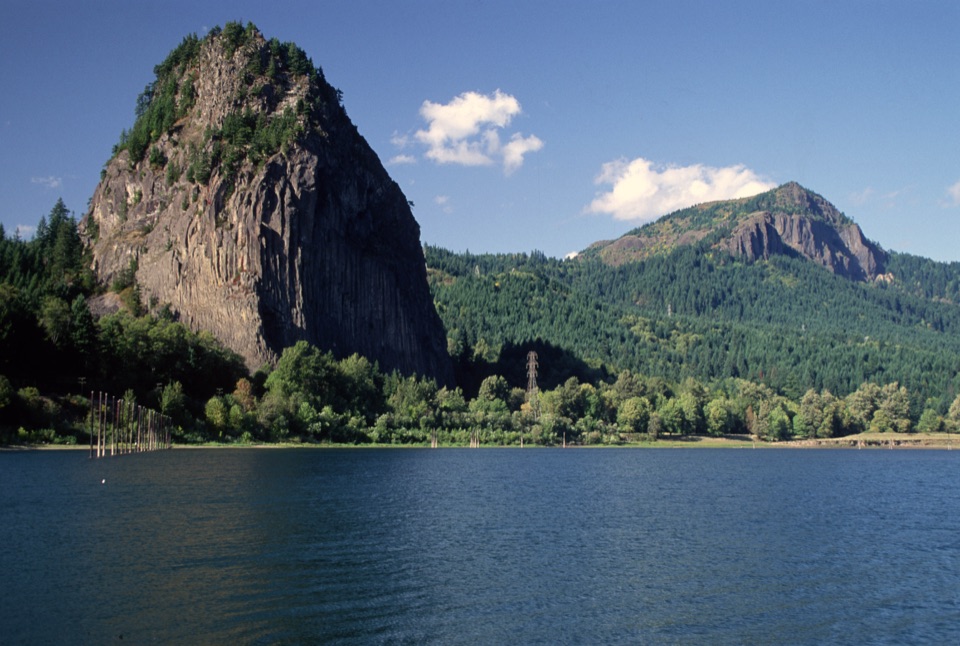 Sight · 0.7 mi awayBeacon RockA basalt landmark with a switchback trail above the Columbia.
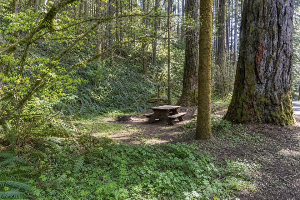 Campground · 1.1 mi awayBeacon Rock State Park CampgroundOld CCC tent loop with Hamilton Mountain trails from your site
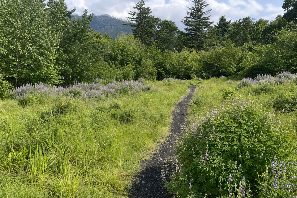 Picnic area · 1.3 mi awaySams Walker Day Use AreaFlat loops link former fields, oak woods and river overlooks.Sight · 1.7 mi awayElowah FallsA 213-foot plunge framed by ancient lava and a green ravine.
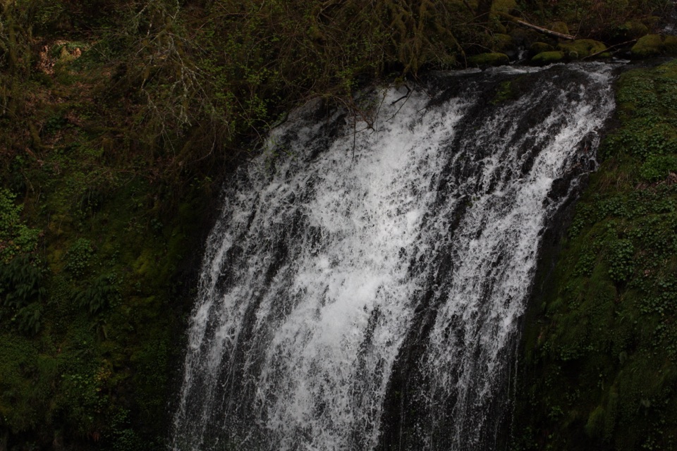 Sight · 1.7 mi awayUpper McCord Creek FallsA narrow cliffside trail climbs to a twin cascade above Elowah.
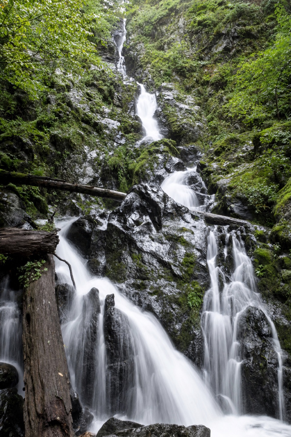 Sight · 1.7 mi awayHardy FallsA 90-foot cascade hides just off the Hamilton Mountain trail.
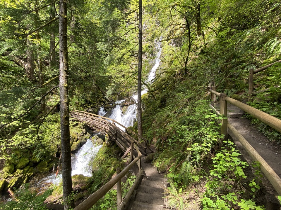 Sight · 1.8 mi awayRodney Falls & Pool of the WindsA waterfall pours through a narrow rock chamber into a spray-filled pool.
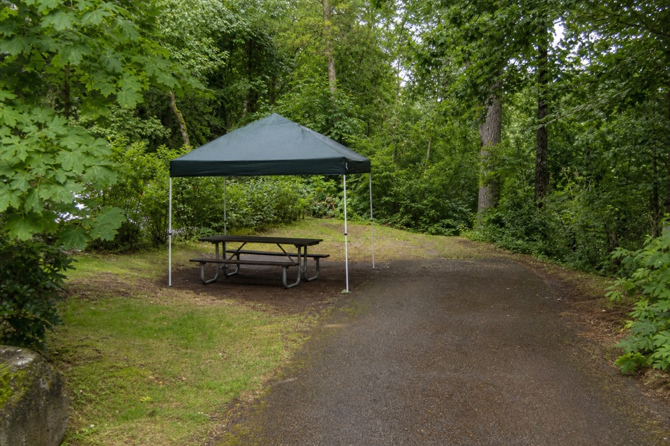 Campground · 2.1 mi awayAinsworth State Park CampgroundA wooded base close to Waterfall Corridor hikes.
Parkwolf’s Columbia River Gorge ranking

The audio tour guide for the drive, plus offline maps, trails, and wildlife heatmaps for when the signal drops.





