Tunnel Falls in Columbia River Gorge National Scenic Area

Sight · Columbia River Gorge National Scenic Area

Tunnel Falls

Walk behind a waterfall after a long canyon hike

Type
Sight
Nearest trail
2.9 mi
  • #21 of 60 sights

Hear the audio tour

Eagle Creek Trailhead

Overview

About Tunnel Falls

Why stop

  • A narrow passage behind a 172-foot waterfall
  • Waterfalls and basalt cliffs along the approach

Heads up

  • Long, rocky route with exposed cliffside sections
  • Trailhead parking can fill on summer weekends

Map

Where it is

Loading the Columbia River Gorge map
Full map
SightTunnel Falls45.58489, -121.85189
Keep this map with you offline in the Parkwolf app

Plan your stop

Before you go

8 active Columbia River Gorge alerts

  • ClosureEagle Creek Fire area closureDo not enter Oneonta Gorge or the specified trail sections because hazards remain following the Eagle Creek Fire.Official details
  • CautionAircraft and drone restrictions at developed recreation sitesAircraft and drone landings, drop-offs, and pickups are prohibited at six high-use developed recreation sites to protect visitor safety.Official details
See all 8 alerts
A park ranger sits on a dash-mounted phone, talking, as Parkwolf’s Tour Guide plays “Army Cutworm Moths: A Grizzly Bear Buffet” on Grand Loop Road below Dunraven Pass in Yellowstone
Parkwolf Tour GuideThe highest, rockiest slopes around here are a summer buffet for grizzly bears.

Columbia River Gorge Tour Guide

Your drive to Tunnel Falls, narrated.

Parkwolf is a GPS audio tour guide for Columbia River Gorge National Scenic Area. As you drive, it chimes in with what’s ahead: hidden gems, upcoming stops, history, geology, and wildlife, right through your car’s speakers.

Recorded for this place

Eagle Creek Trailhead
0:00 / 0:37
“You're approaching the access road for Eagle Creek's day-use area and trailhead; the waterfalls are farther in on foot.”

Plays as you drive up to Tunnel Falls in the Parkwolf Columbia River Gorge Tour Guide.

More stories near here in the app

  • A Duck in the Whitewater
  • The Smell of Home
  • Dry Creek Falls from Harvey Road
  • Bridge of the Gods
  • 217 audio storiesacross Columbia River Gorge’s roads, triggered by GPS as you drive
  • Wildlife heatmapsfor Bald Eagle, Black Bear, American Pika, and 13 more
  • Works offlinemaps, 111 trails, 78 places, and audio download before you lose signal
  • CarPlay readysimple controls built for the drive
★★★★★
“Fantastic app with many points of information… It’s great to just turn on while you’re driving and it gives you an audio tour of the national Park. We love it!!!!”
JMJamesApp Store review
Download Parkwolf on the App StoreGet Parkwolf on Google Play

4.7 from 8,600+ ratings

Guide

More about Tunnel Falls

What waits at the endTunnel Falls is a 172-foot waterfall on the east fork of Eagle Creek, where the stream drops…

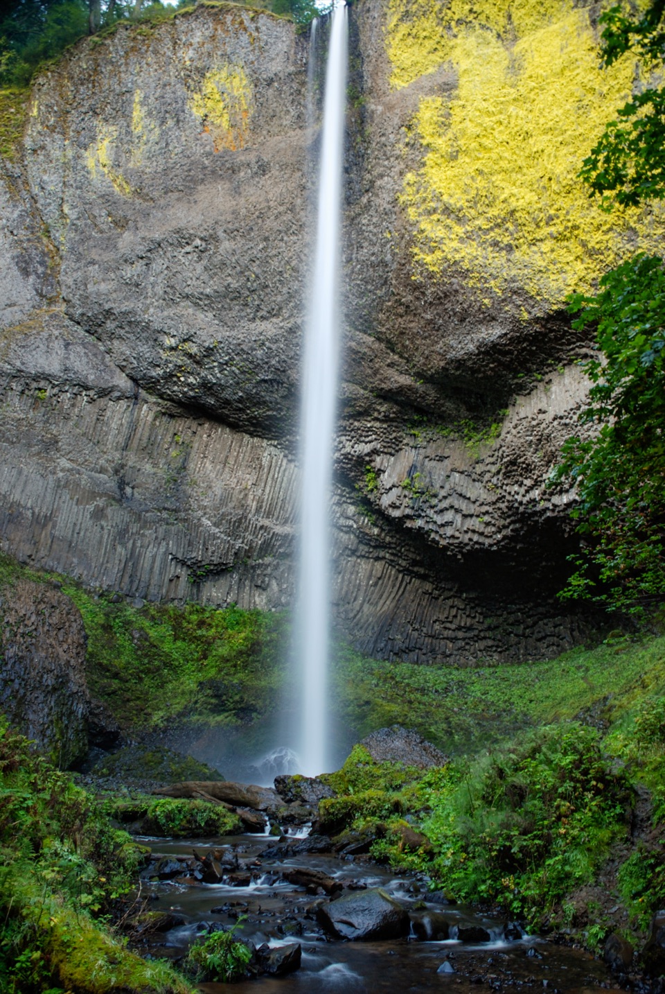
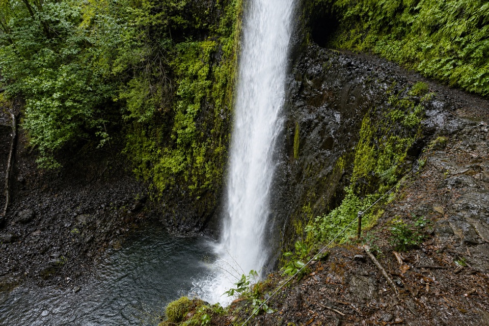
Tunnel Falls is a 172-foot waterfall on the east fork of Eagle Creek, where the stream drops into a bowl of columnar basalt. The trail winds around the cliff behind the white curtain; early trail builders cut a passage there, which gives the falls its name. You can look up at the water from the lower rocks, then follow the exposed path around it for a close, unusual view. This is a waterfall you walk behind, not a roadside pullout or short spur.

The hike is the visitThe trip to Tunnel Falls on Eagle Creek Trail 440 is a serious day hike.

The trip to Tunnel Falls on Eagle Creek Trail #440 is a serious day hike. Expect about 12 miles round trip and roughly 1,600 feet of gain; other route descriptions place the falls about seven miles up the trail, so treat distance as an estimate. Plan for many hours on rocky ground. Summer weekends can be busy, and the trailhead lot may fill; an alternate lot near the fish hatchery adds about a mile to the round trip. This suits hikers who want a long gorge route and have time and sure footing for it, not anyone after an easy waterfall view.

Cliffs, water and a century-old routeThe walk is part of the appeal.

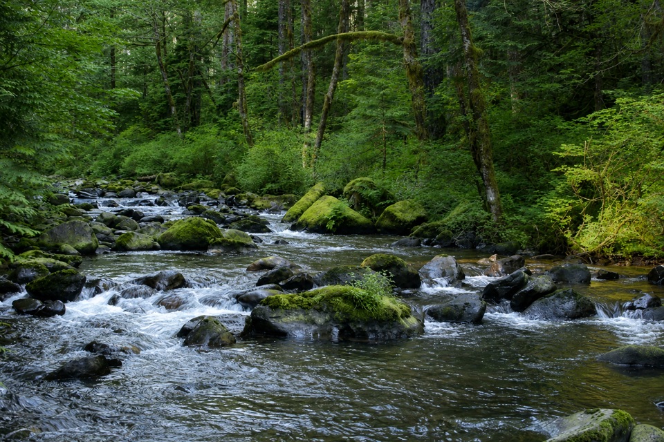
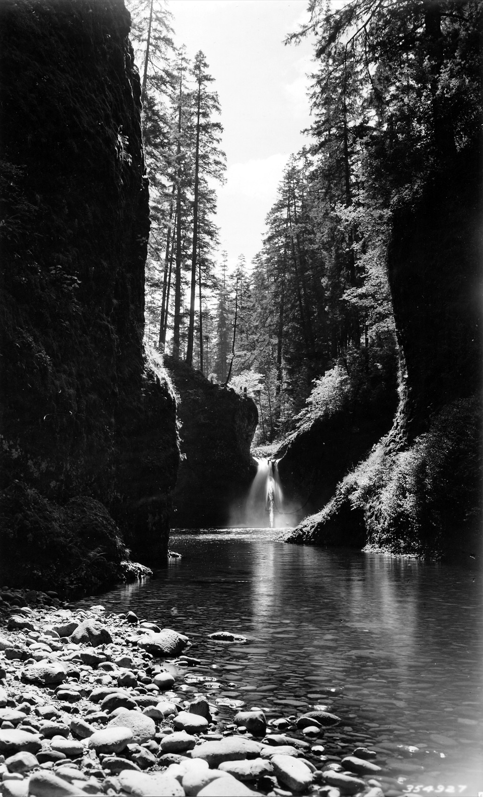
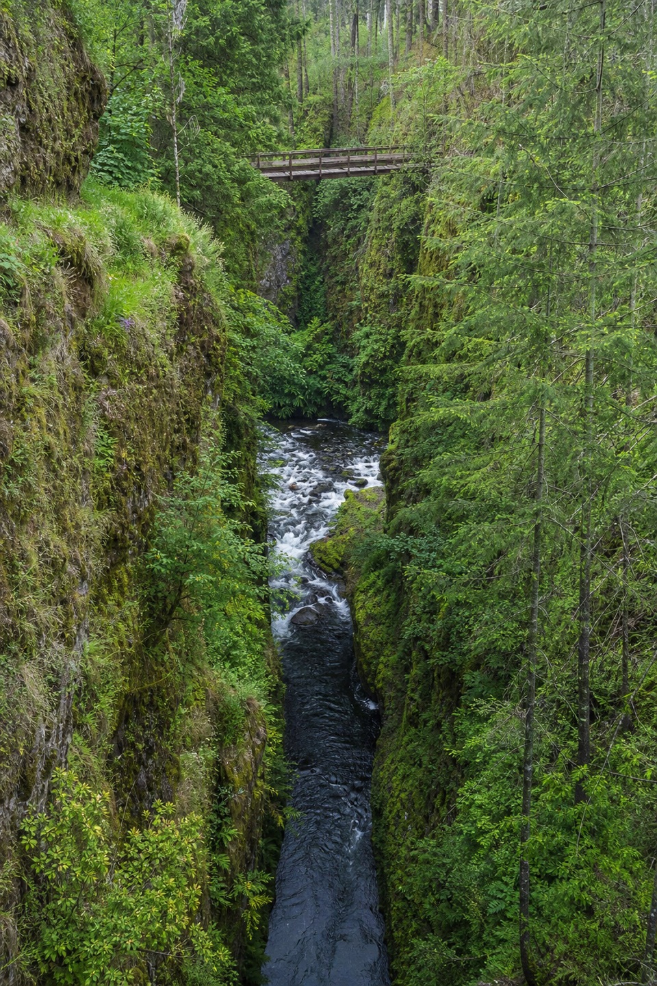
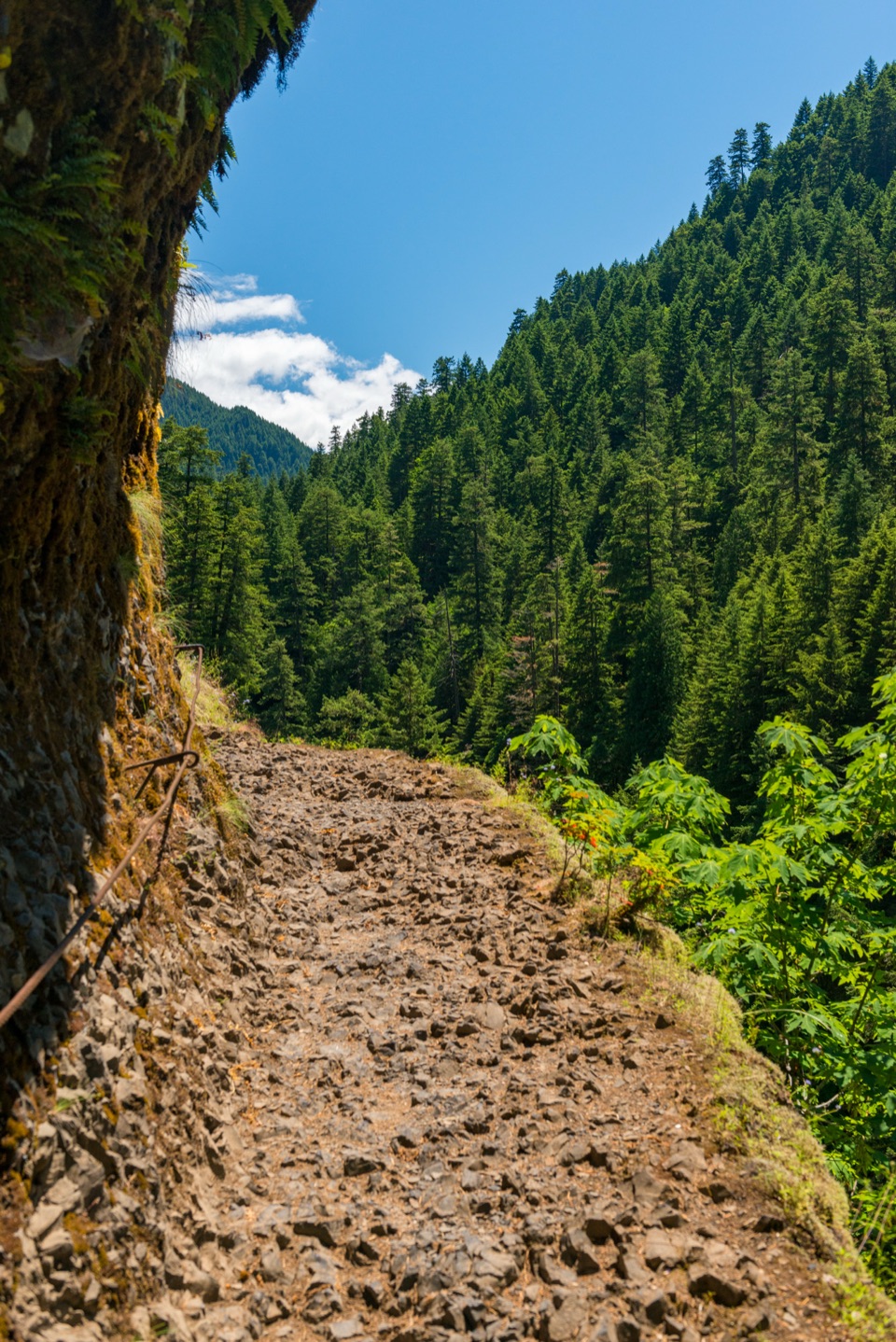
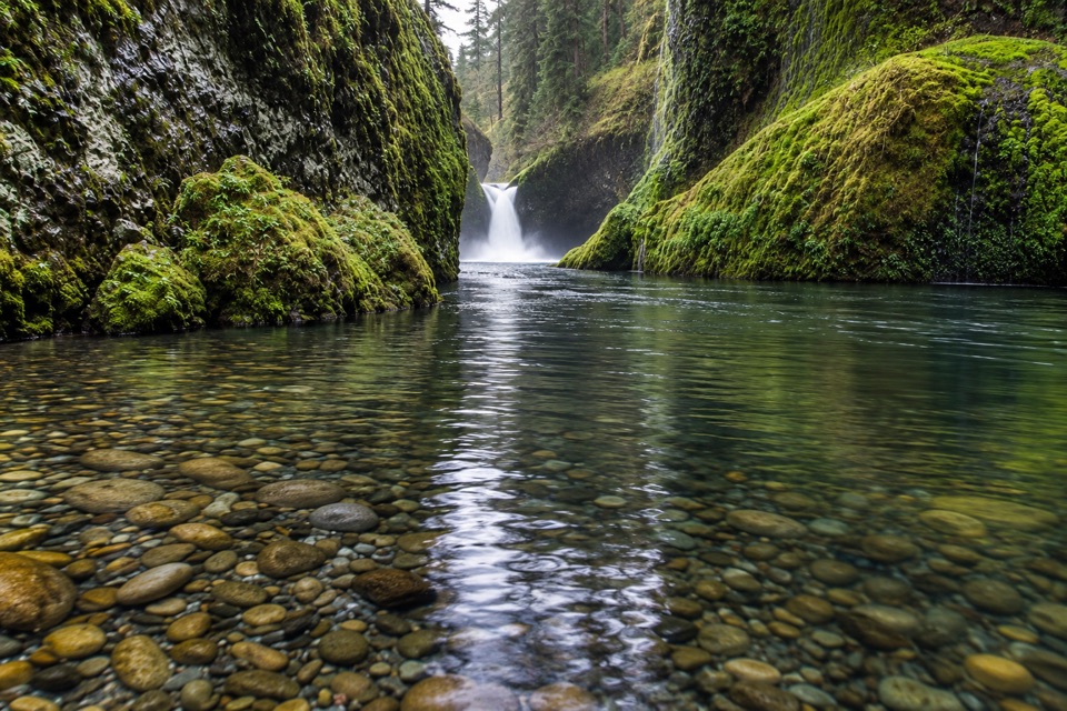
The walk is part of the appeal. Trail #440 starts in forest, then follows Eagle Creek beside basalt walls. It passes other waterfalls, including Punch Bowl Falls about two miles up and High Bridge around three miles in. Farther on, the route crosses two large talus slopes and a section called the Potholes before the final approach. Some ledges are narrow and exposed above the creek; the footing is rocky and can be slippery. A cable follows exposed sections, including near the falls. Keep dogs leashed; loose dogs have fallen from these cliffs or chased other dogs over them. The payoff is a full sequence of water and canyon scenery, not just one endpoint.

Eagle Creek Trail was blasted out of the gorge’s cliffs about a century ago, and it still threads through those basalt walls. At Tunnel Falls, look for a view that frames the falling water against the dark rock with the path curling behind it. Spray and slick tread come with being this close; step aside before stopping so other hikers can get through.

Getting there and what to bringReach the Eagle Creek Trailhead from Interstate 84 at Exit 41.

Reach the Eagle Creek Trailhead from Interstate 84 at Exit 41. Westbound drivers need Exit 40 and must turn around; there is no westbound Exit 41. A free self-issued wilderness permit is required at the Mark O. Hatfield Wilderness boundary, roughly five miles into the trail. Accessible parking is available at the trailhead, but the waterfall route itself is uneven, rocky and exposed. Potable water is not available at the trailhead, so carry what you need for the long day. Restaurants and brewpubs in Cascade Locks, about three miles east, are an option after the hike.

Wildlife

Wildlife in Columbia River Gorge

All Columbia River Gorge wildlife maps

Sighting maps show where each species has been reported across Columbia River Gorge. Wildlife moves, so no sighting is guaranteed.

Parkwolf’s Columbia River Gorge ranking

Top sights in Columbia River Gorge

All 78 places
  1. 1Multnomah FallsSight
  2. 2Vista House at Crown PointSight
  3. 3Rowena Crest OverlookSight
  4. 4Portland Women’s Forum State Scenic ViewpointSight
  5. 5Latourell FallsSight
  6. 6Beacon RockSight

Take Parkwolf to Columbia River Gorge.

The audio tour guide for the drive, plus offline maps, trails, and wildlife heatmaps for when the signal drops.

4.7 from 8,600+ ratings

Download Parkwolf on the App StoreGet Parkwolf on Google Play