Parking
Wahtum Lake Trailhead shares its lot with Wahtum Lake Campground. A day-use payment is required; the Annual Northwest Forest Pass is accepted. Forest Roads 13 and 1310 are narrow and subject to rockfall.
Columbia River Gorge National Scenic Area, OR · WA
A lake loop that climbs to a rocky Cascade lookout.
Overview
Map & elevation
Plan your hike

The highest, rockiest slopes around here are a summer buffet for grizzly bears.
Columbia River Gorge Tour Guide
Parkwolf is a GPS audio tour guide for Columbia River Gorge National Scenic Area. As you drive, it chimes in with what’s ahead: hidden gems, upcoming stops, history, geology, and wildlife, right through your car’s speakers.
“Fantastic app with many points of information… It’s great to just turn on while you’re driving and it gives you an audio tour of the national Park. We love it!!!!”


Trail guide
Chinidere Mountain Loop is a 4.4-mile circuit from Wahtum Lake Trailhead, with a half-mile summit spur and a return via the Chinidere Cutoff and Eagle Creek trails. Allow about three hours for the full loop and 1,140 feet of climbing. It suits hikers who want a forested lake walk with a proper climb and a rocky viewpoint at the top.
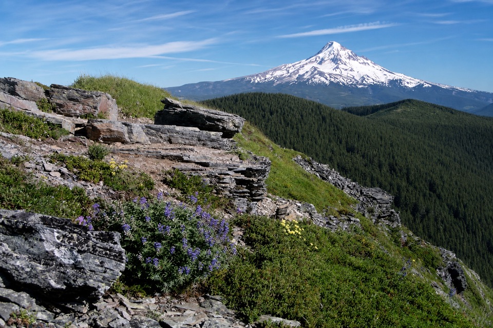
From the trailhead, take Wahtum Horse Trail #406H down to Pacific Crest Trail #2000 and follow it along the east side of the lake. The path moves through fir and hemlock forest; farther on, younger trees and beargrass open toward a steep meadow looking into Eagle Creek Canyon. At about 1.8 miles, turn onto Chinidere Mountain Trail #445. The moderately steep half-mile spur climbs irregular switchbacks past layered, platy rock to a rocky summit. Wahtum Lake lies below, with the Gorge and as many as five glaciated Cascade volcanoes in a clear-day panorama. Shallow pits in the summit rock are easy to miss. For a photo, keep the rocky slabs in the foreground and Mount Hood above the dark ridge.
Return to the PCT junction and descend the Chinidere Cutoff #406M on loose switchbacks. Short connections on Eagle Creek Trail #440 and the PCT carry you back toward #406H and the parking area; expect a log-hop across the lake outlet. This is the steeper, less tidy half of the loop, so use care on the descent.
The shared Wahtum Lake Trailhead and campground lot has vault toilets but no potable water. A day-use payment is required; the Annual Northwest Forest Pass is accepted. The access roads are narrow, with possible rockfall. Forest roads are not plowed in winter and may be impassable. Dogs are allowed; keep them within sight and voice control, and observe leash rules in developed areas.
Wildlife
 267 sightingsBald EagleMost seen around 7 AMSighting map
 51 sightingsBlack BearMost seen around 7 PMSighting map
 136 sightingsAmerican PikaMost seen around 8 AMSighting map
 16 sightingsWapitiMost seen around 7 AMSighting map
 195 sightingsMule DeerMost seen around 7 AMSighting map
 74 sightingsChinook SalmonMost seen around 6 PMSighting map
Sighting maps show where each species has been reported across Columbia River Gorge. Wildlife moves, so no sighting is guaranteed.
Keep exploring
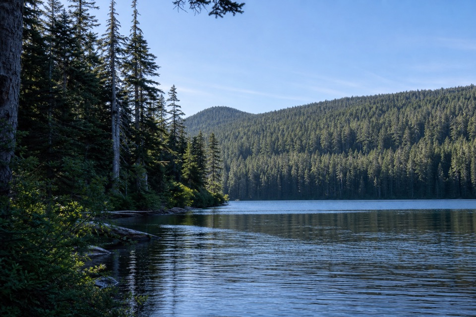 ChallengingIndian Mountain Loop11.5 mi · 8 hr · At the trailheadA long wilderness loop through old forest, springs, and a rocky summit.
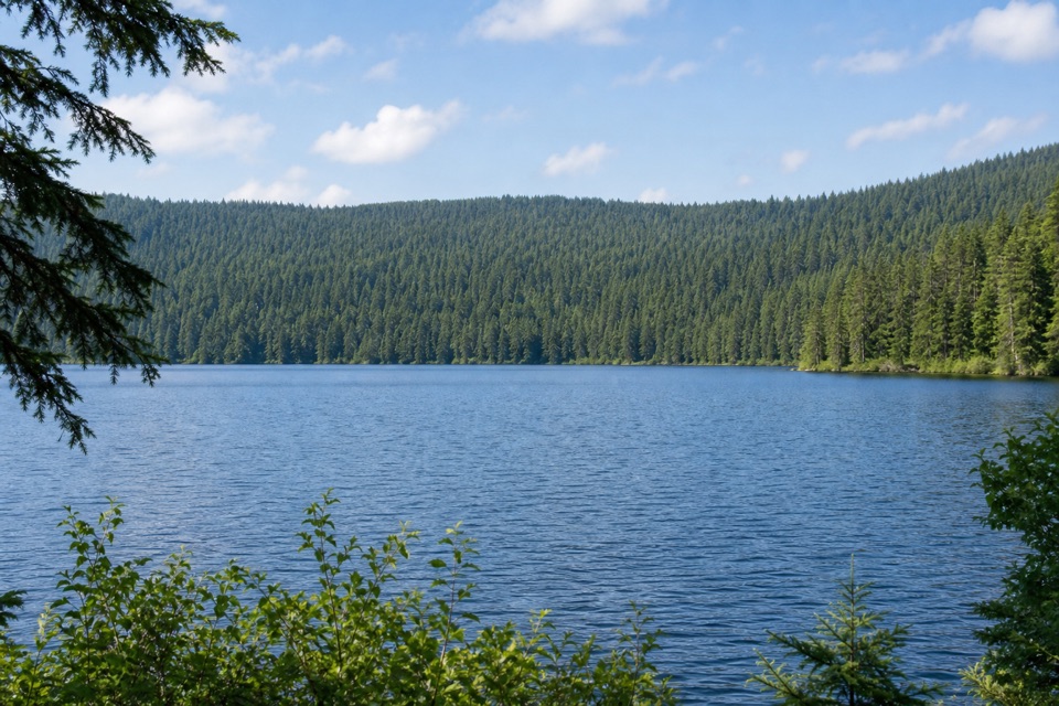 ModerateRainy Lake Loop3.1 mi · 2.5 hr · 3.8 mi awaySignal hut, summit views and a lakeshore dam in one loop.
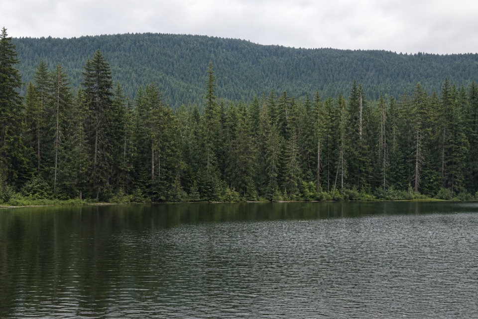 EasyBear Lake via Mount Defiance South Trail2.4 mi · 2 hr · 4.8 mi awayA quiet lake below Mount Defiance, reached by a short forest climb.
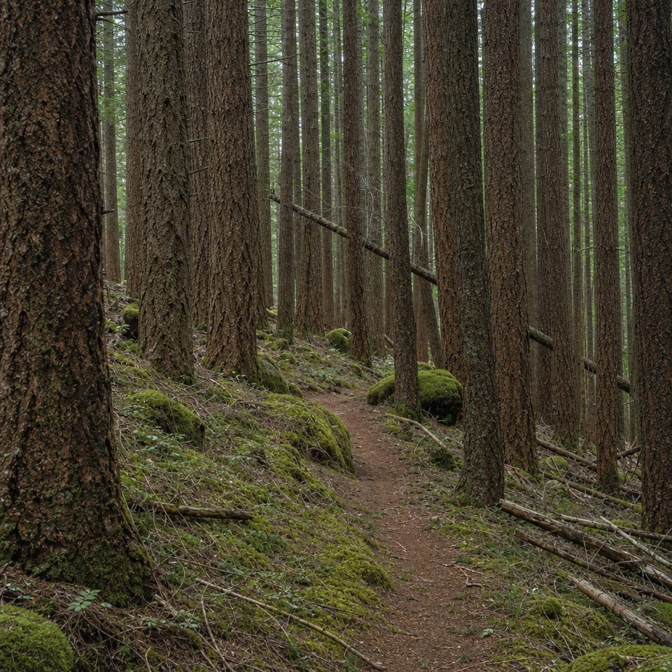 ChallengingDeadwood Trail #4220.5 mi · 1.3 hr · 6.7 mi awayA faint wilderness link between two longer routes.
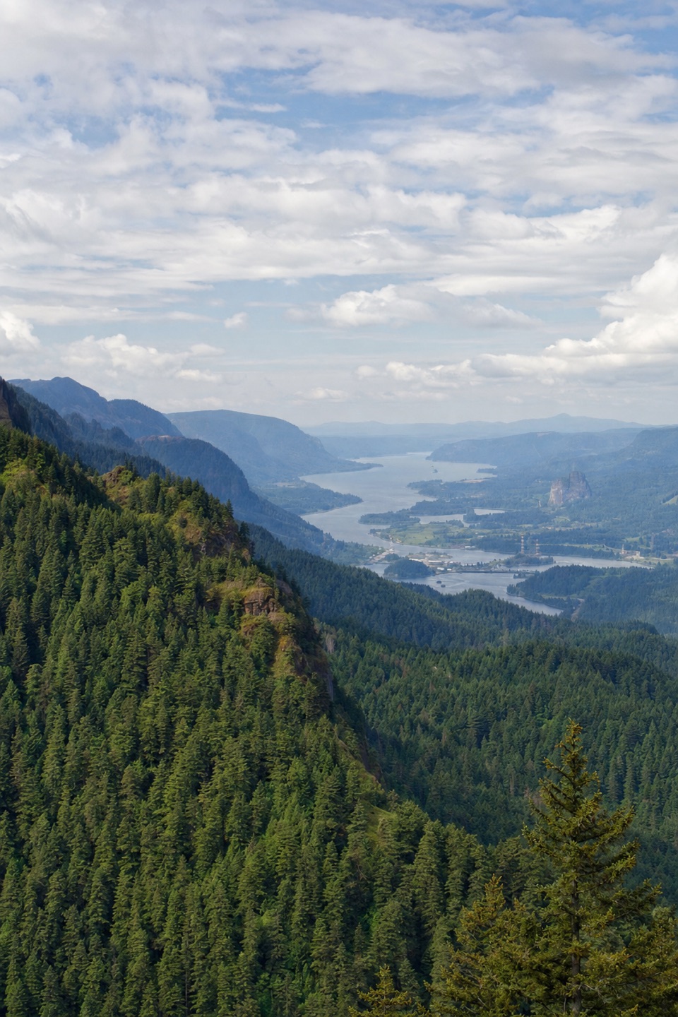 ChallengingNick Eaton Trail4.1 mi · 4 hr · 7.2 mi awayA steep, fire-scarred climb to a rocky ridge high above the Gorge.
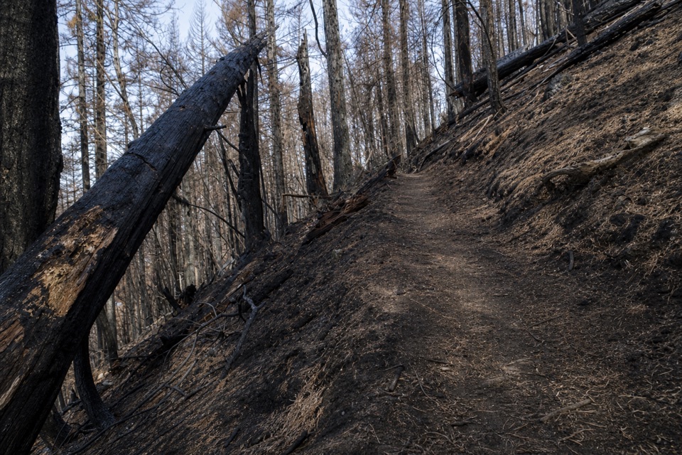 ChallengingGorton Creek Trail #4089.1 mi · 12 hr · 7.3 mi awayA steep one-way wilderness route with brushy tread beyond Deadwood.
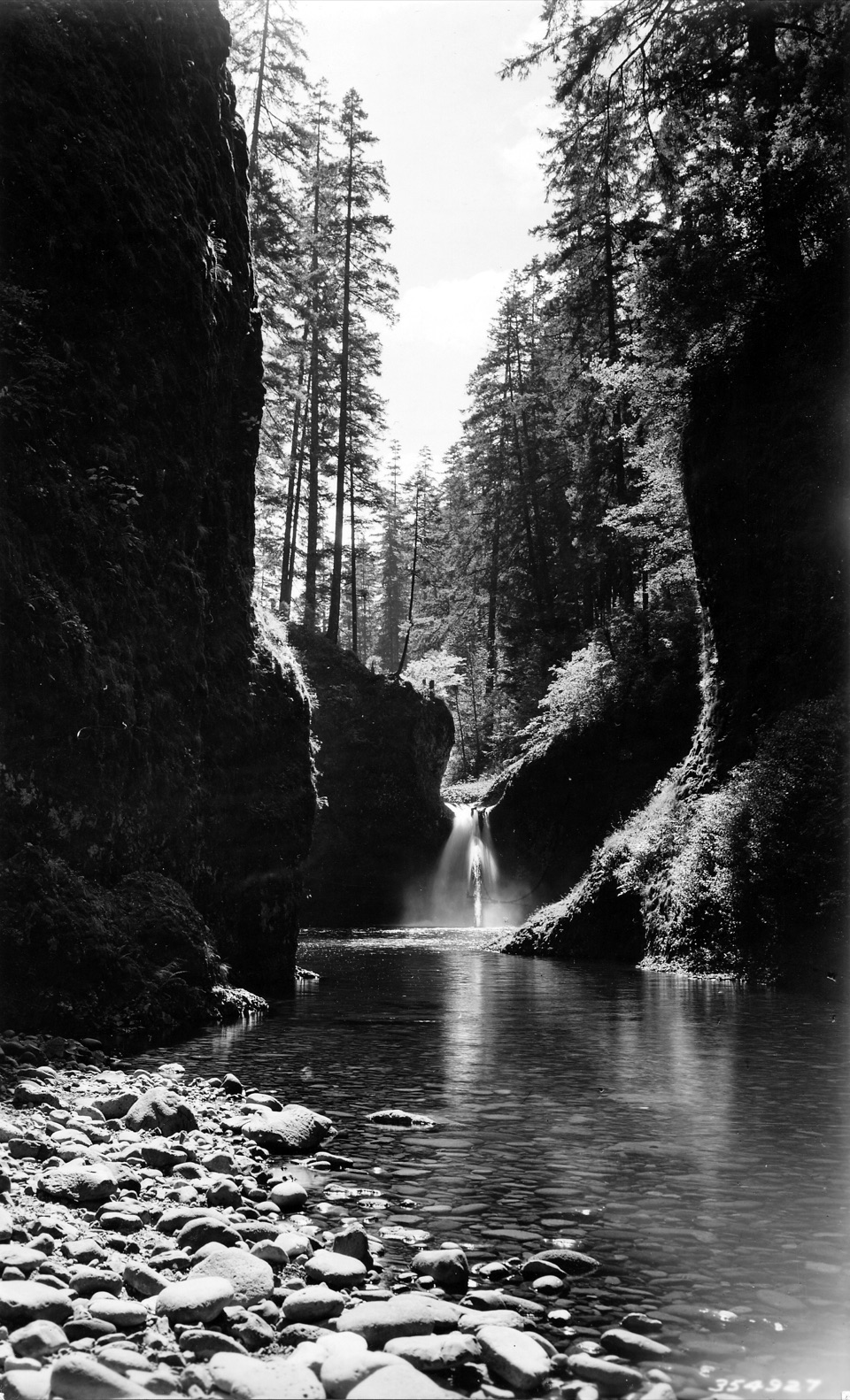 ModerateEagle Creek to Punch Bowl Falls3.8 mi · 2.5 hr · 7.4 mi awayA narrow, cabled path above Eagle Creek leads to the falls.
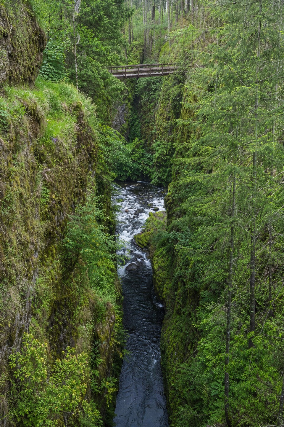 ModerateEagle Creek to High Bridge6.6 mi · 4 hr · 7.4 mi awayCabled cliff passages lead to waterfalls and a bridge over the gorge.
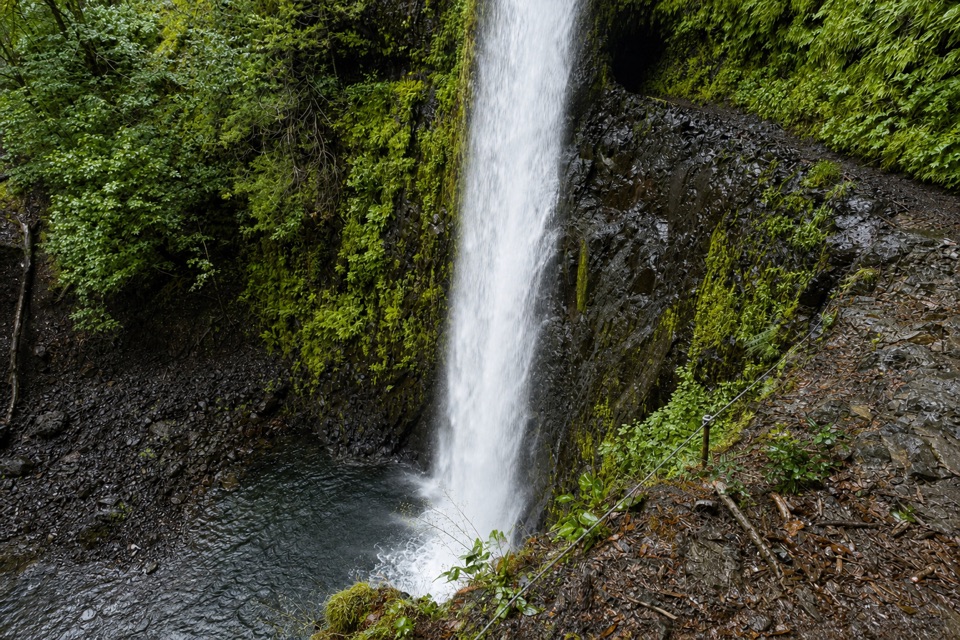 Sight · 2.9 mi awayTunnel FallsWalk behind a waterfall after a long canyon hike
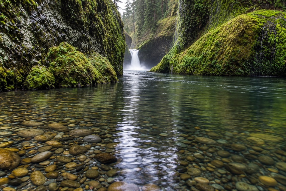 Sight · 5.8 mi awayPunch Bowl FallsA round rock amphitheater frames the waterfall and deep pool.
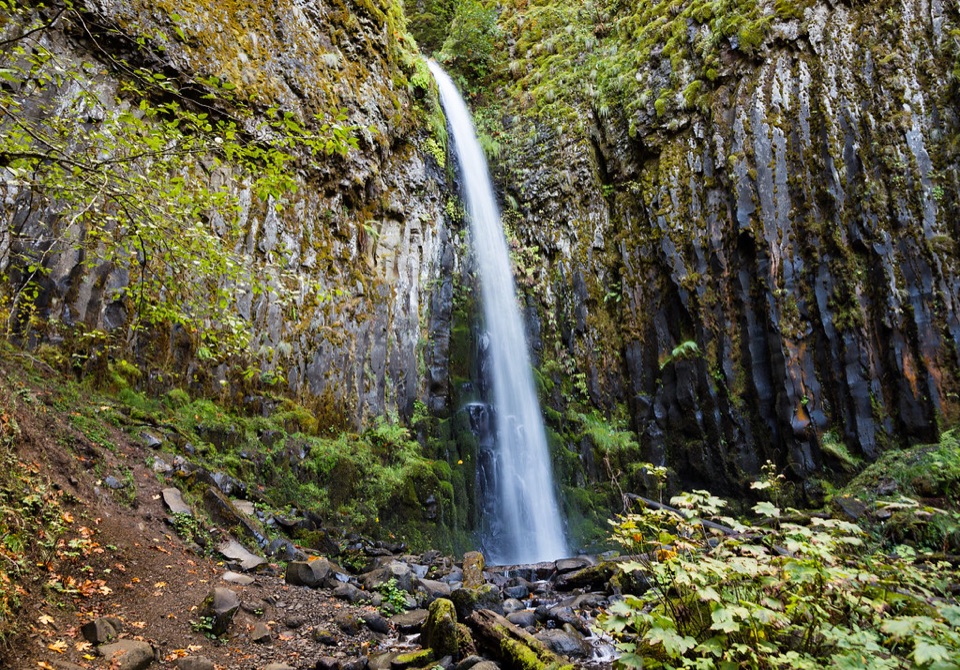 Sight · 6.6 mi awayDry Creek FallsA basalt cleft waterfall beside old concrete diversion works.
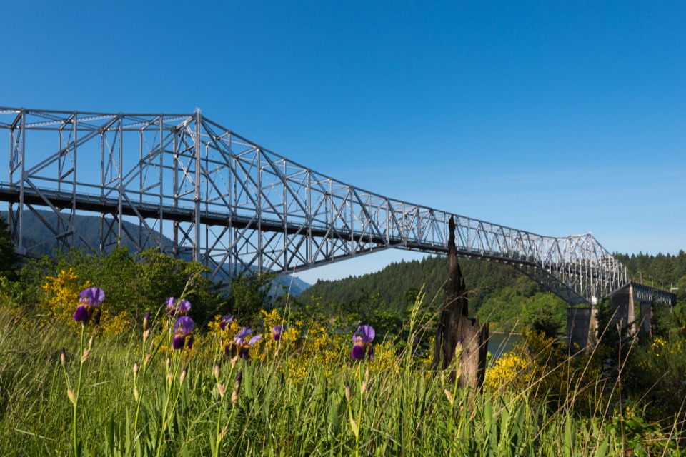 Sight · 7.8 mi awayBridge of the GodsA steel crossing shared by drivers and Pacific Crest Trail hikers.
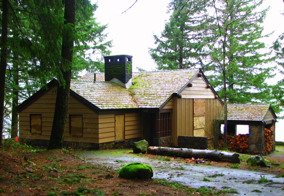 Picnic area · 7.8 mi awayEagle Creek Day Use AreaA historic picnic site where salmon return to the creek each fall.
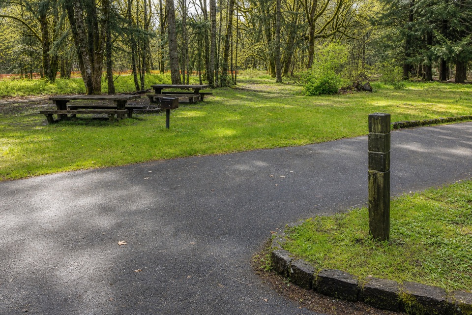 Campground · 7.8 mi awayWyeth CampgroundPaved bike trail rides start right beside this wooded campground.
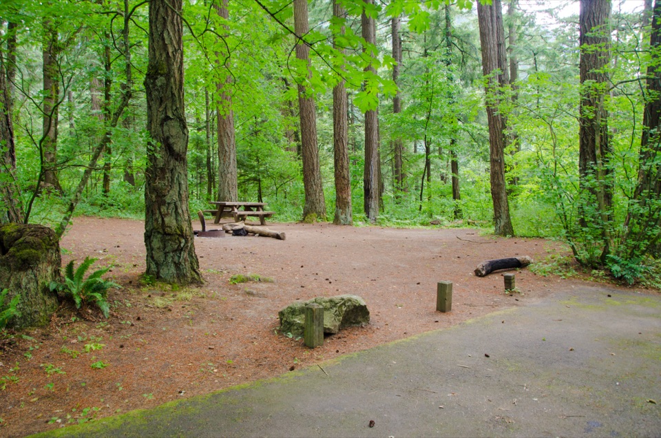 Campground · 7.8 mi awayEagle Creek CampgroundA shady 1916 campground at the foot of the Eagle Creek Trail.
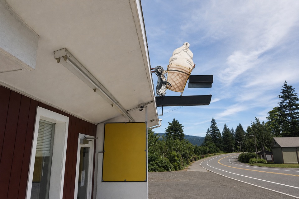 Food · 7.9 mi awayEast Wind Drive-InSave room for the super-tall soft-serve cone.
Parkwolf’s Columbia River Gorge ranking

The audio tour guide for the drive, plus offline maps, trails, and wildlife heatmaps for when the signal drops.





