Indian Mountain Loop in Columbia River Gorge National Scenic Area

Columbia River Gorge National Scenic Area, OR · WA

Indian Mountain Loop

A long wilderness loop through old forest, springs, and a rocky summit.

Length
11.5mi
Time
8hr
Elev. change
2,306ft
Difficulty
Challenging
  • Loop
  • Dogs allowed
  • High point 4,852 ft
Parkwolf audio tour217 stories across Columbia River Gorge’s roads

Overview

About Indian Mountain Loop

Why go

  • Old-growth forest, a waterfall, and a broad summit view
  • A varied circuit from the lake shore to an open ridge

Heads up

  • A long day with repeated creek and talus crossings
  • Narrow, rockfall-prone roads to the trailhead

Map & elevation

The route

Loading the Columbia River Gorge map
Full map
Elevation2,546–4,852 ft
TrailheadWahtum Lake Trailhead45.57727, -121.79284
Keep this map with you offline in the Parkwolf app

Plan your hike

Before you go

Parking

Use the Wahtum Lake Trailhead day-use lot beside Wahtum Lake Campground. Reach it via Forest Road 13 and the narrower Forest Road 1310; expect narrow road conditions, summer traffic and possible rockfall. Only an annual Northwest Forest Pass is accepted for this access.

Safety

Repeated creek crossings and talus slopes require careful footing; the ridge is open and the summit's south side is precipitous. Snow often blocks the PCT into June. There is no potable water at the trailhead and no developed refill stop is listed along the loop. All dogs must be leashed. The annual Northwest Forest Pass is the only accepted pass at this trailhead.

8 active Columbia River Gorge alerts

  • ClosureEagle Creek Fire area closureDo not enter Oneonta Gorge or the specified trail sections because hazards remain following the Eagle Creek Fire.Official details
  • CautionAircraft and drone restrictions at developed recreation sitesAircraft and drone landings, drop-offs, and pickups are prohibited at six high-use developed recreation sites to protect visitor safety.Official details
See all 8 alerts
A park ranger sits on a dash-mounted phone, talking, as Parkwolf’s Tour Guide plays “Army Cutworm Moths: A Grizzly Bear Buffet” on Grand Loop Road below Dunraven Pass in Yellowstone
Parkwolf Tour GuideThe highest, rockiest slopes around here are a summer buffet for grizzly bears.

Columbia River Gorge Tour Guide

Your drive to Indian Mountain Loop, narrated.

Parkwolf is a GPS audio tour guide for Columbia River Gorge National Scenic Area. As you drive, it chimes in with what’s ahead: hidden gems, upcoming stops, history, geology, and wildlife, right through your car’s speakers.

  • 217 audio storiesacross Columbia River Gorge’s roads, triggered by GPS as you drive
  • Wildlife heatmapsfor Bald Eagle, Black Bear, American Pika, and 13 more
  • Works offlinemaps, 111 trails, 78 places, and audio download before you lose signal
  • CarPlay readysimple controls built for the drive
★★★★★
“Fantastic app with many points of information… It’s great to just turn on while you’re driving and it gives you an audio tour of the national Park. We love it!!!!”
JMJamesApp Store review
Download Parkwolf on the App StoreGet Parkwolf on Google Play

4.7 from 8,600+ ratings

Trail guide

Hiking Indian Mountain Loop

The loop and its commitmentIndian Mountain Loop is an 11.

Indian Mountain Loop is an 11.5-mile circuit from Wahtum Lake that links Wahtum Express, the Pacific Crest Trail (PCT), Eagle Creek Trail #440, Indian Springs Trail #435 and Indian Mountain Trail #416. It reaches the rocky summit of Indian Mountain, then returns to the lake by a forest road and the PCT. Allow about eight hours for this full-day outing; the distance includes the summit spur and the lake access from the trailhead. A shorter PCT out-and-back to Indian Mountain is a different hike.

From the lake to the ridgeWahtum Express drops steeply on steps through old-growth noble and silver fir to Wahtum Lake,…

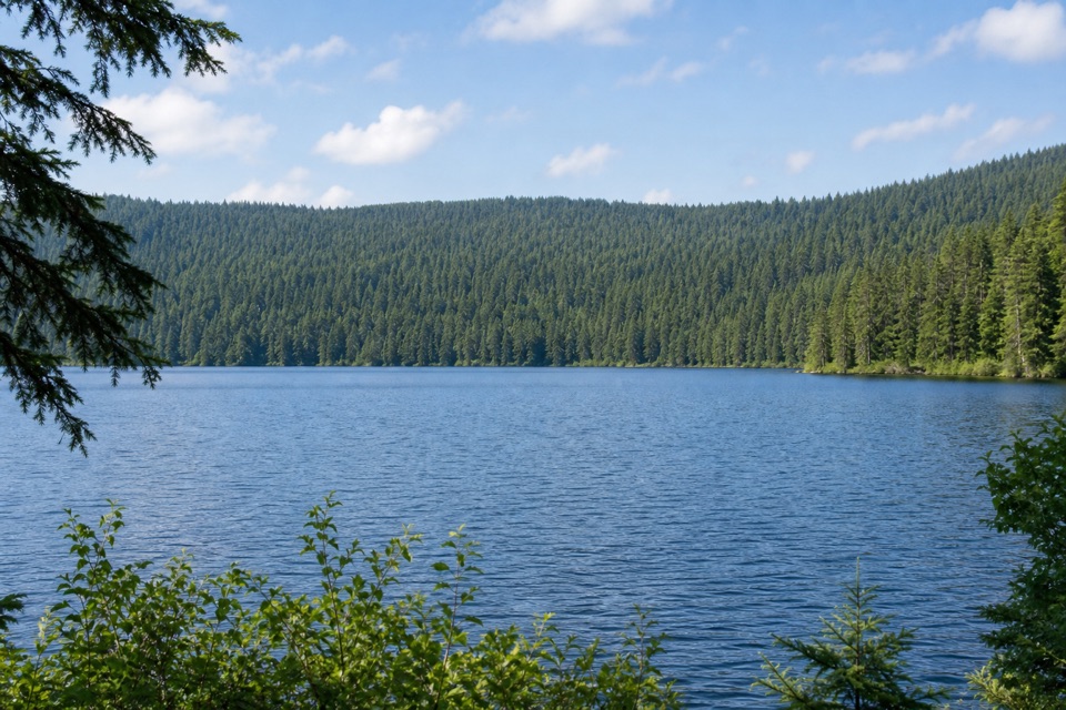
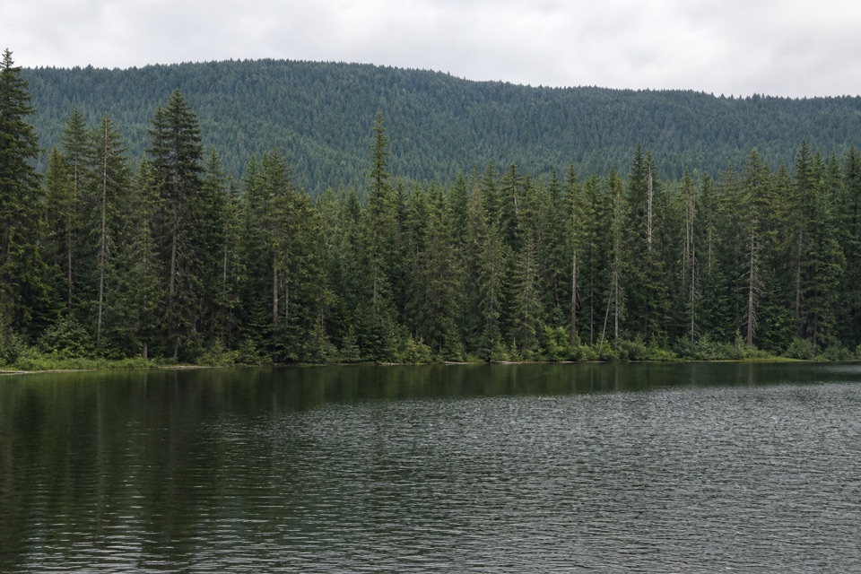
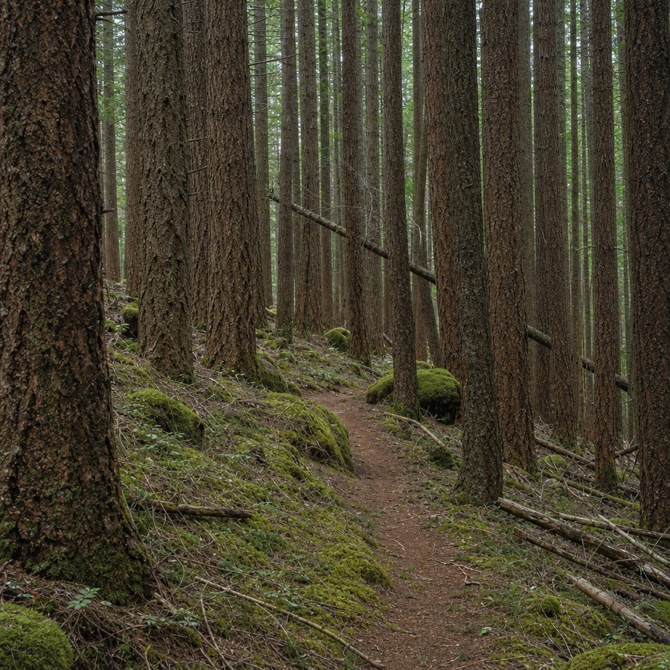
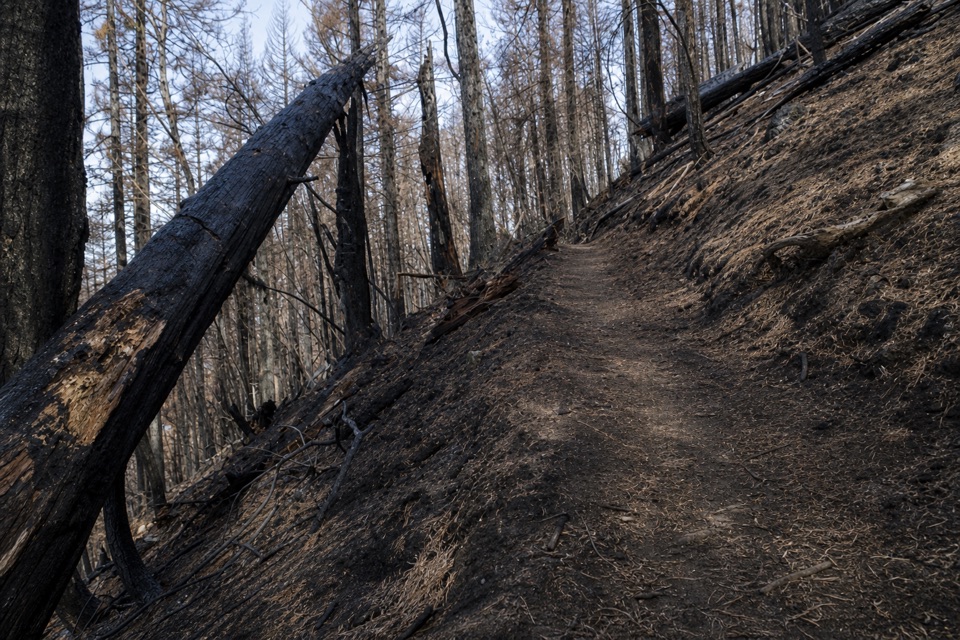
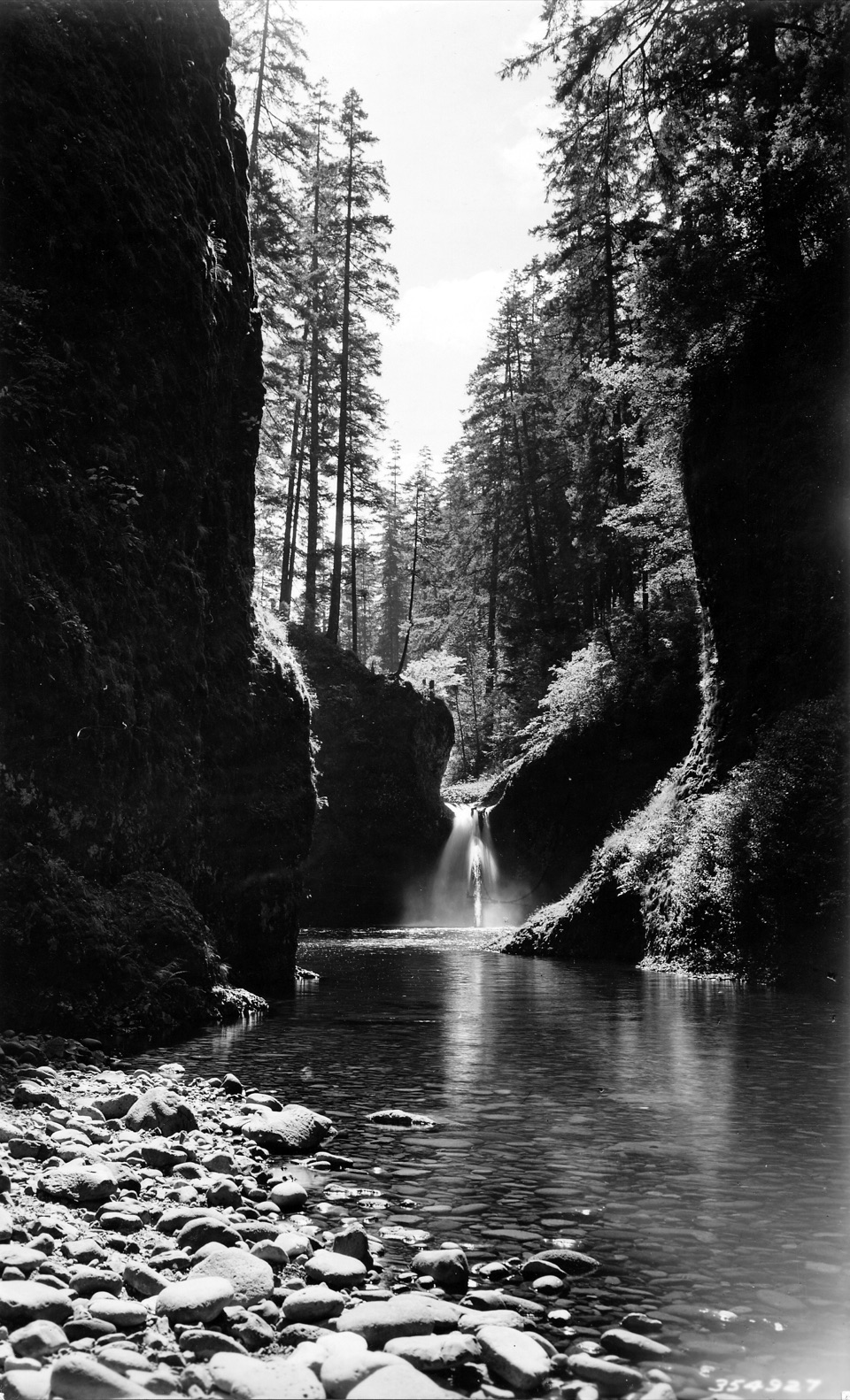
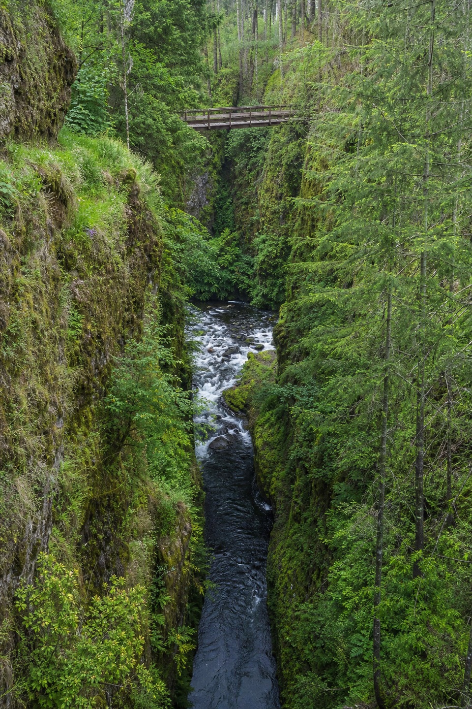
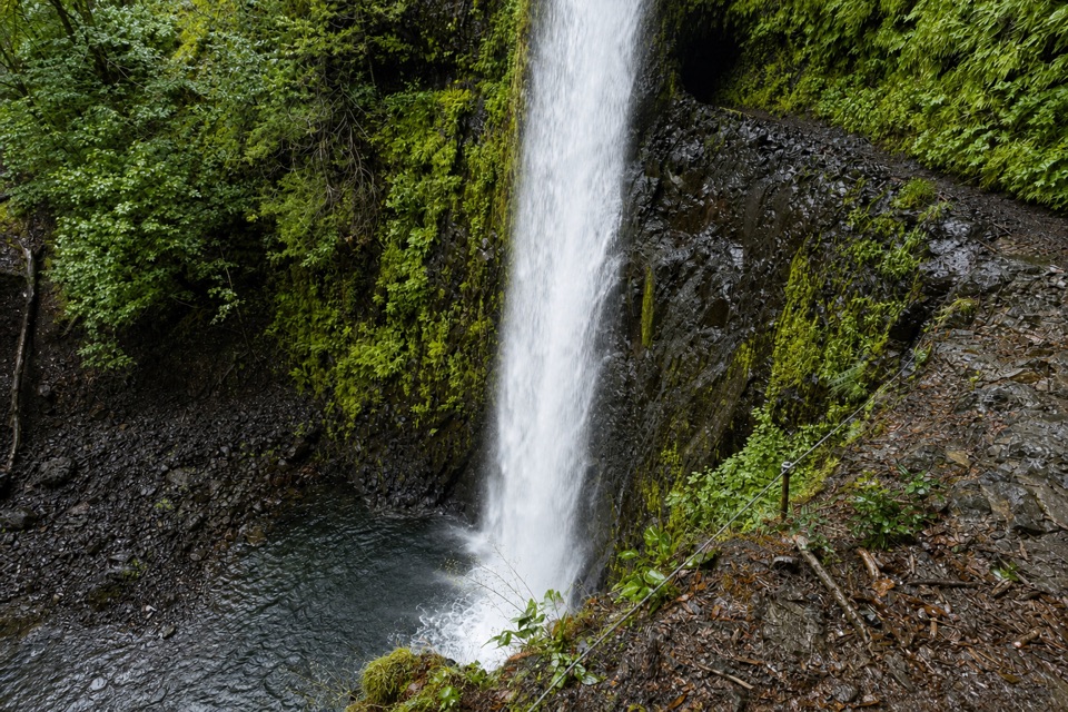
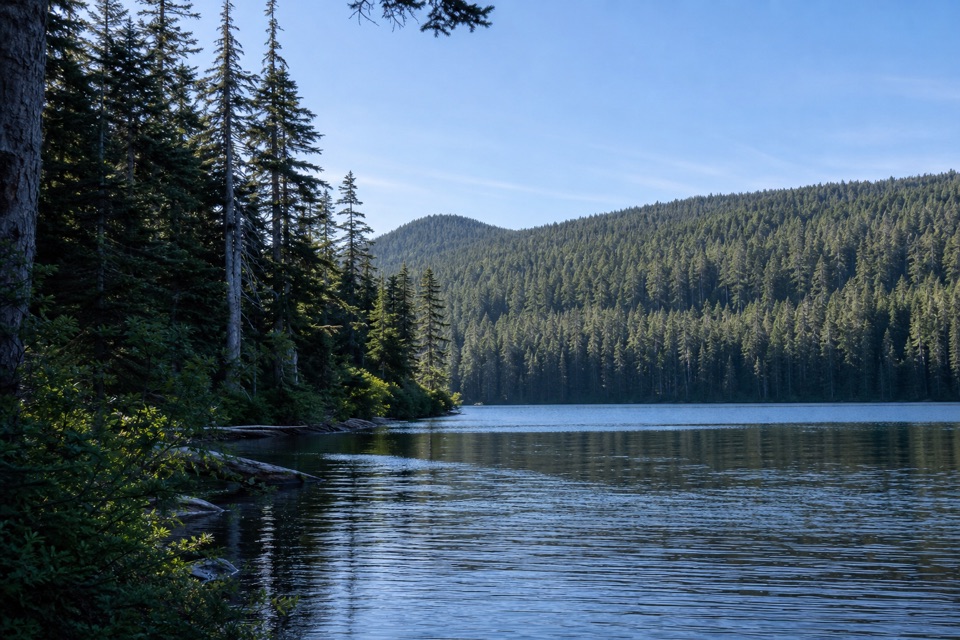
Wahtum Express drops steeply on steps through old-growth noble and silver fir to Wahtum Lake, then follows the PCT's south shore to Eagle Creek #440. Eagle Creek quickly leaves the lake behind. The trail passes through old forest beside East Fork Eagle Creek, crossing several streams and repeated talus slopes. It passes Upper Eagle Camp and a small waterfall before reaching Indian Springs Trail #435.

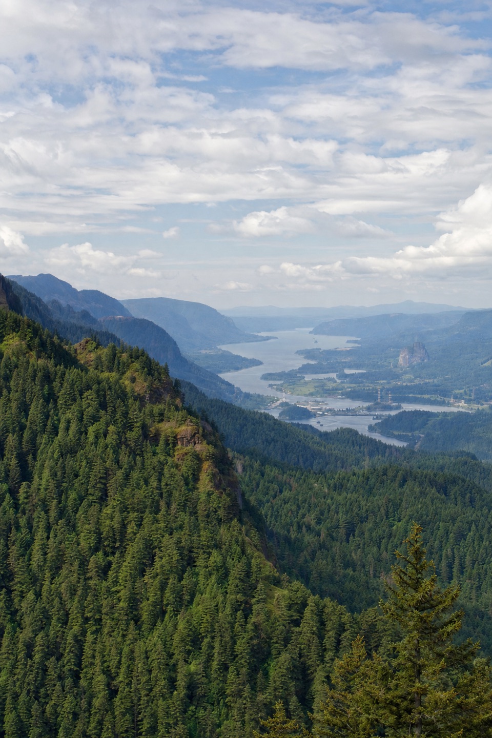
#435 brings the main climb: it rises steeply along the ridge crest through fir forest, small meadows, talus and damp spring-fed ground. Openings look down the Eagle Creek drainage and toward Chinidere Mountain. At the Indian Springs area, the route turns onto the PCT and climbs out of the drainage again.

The summit and returnThe PCT crosses a creek before climbing an open slope where views widen toward Mount St.

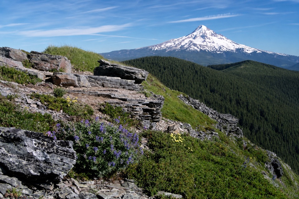
The PCT crosses a creek before climbing an open slope where views widen toward Mount St. Helens, Rainier, Adams and Defiance. At a signed, cairned junction, #416 branches across a meadow and through subalpine forest to the rocky summit. Remains of an old lookout and a summit register sit among the rocks; the south side falls away steeply. Mount Hood and Mount Jefferson are the reward from the top. For a summit photo, include the lookout remains with the distant peaks to give the view a sense of scale.

Retrace #416 to the access-track junction, then take the short track down to Forest Road 1310-660 and reconnect with the PCT. The return traverses Waucoma Ridge through old-growth fir, with several more talus crossings and occasional Mount Hood views. This is not a direct road walk back to the car: the loop follows the PCT to Wahtum Lake, then retraces the shore and steep Wahtum Express steps.

Conditions and accessAt 11.5 miles and about 2,640 feet of gain, this is a hard, full-day hike.

At 11.5 miles and about 2,640 feet of gain, this is a hard, full-day hike. Creek crossings and talus slow the route; the open ridge can be windy, and the summit's south side is precipitous. Snow commonly keeps the PCT inaccessible until June, with summer into fall the usual hiking season. Check current forest alerts and trail conditions before driving in.

The day-use parking area beside Wahtum Lake Campground serves this trailhead. Reach it on Forest Road 13, then the narrower Forest Road 1310; both can carry heavy summer traffic, and rockfall is a road hazard. The Forest Service accepts only an annual Northwest Forest Pass for this access. A vault toilet is available at the trailhead, but there is no potable water there. No potable water is confirmed along the route, and all dogs must remain leashed.

Wildlife

Wildlife in Columbia River Gorge

All Columbia River Gorge wildlife maps

Sighting maps show where each species has been reported across Columbia River Gorge. Wildlife moves, so no sighting is guaranteed.

Keep exploring

Near Indian Mountain Loop

See it all on the map

Trails that start nearby

Places near the trailhead

Parkwolf’s Columbia River Gorge ranking

Top-rated trails in Columbia River Gorge

All 111 trails
  1. 1Eagle Creek Trail #440 to Tunnel FallsChallenging · 11.7 mi
  2. 2Multnomah Falls Trail to the TopModerate · 2.4 mi
  3. 3Multnomah–Wahkeena Falls LoopChallenging · 4.8 mi
  4. 4Dog Mountain LoopChallenging · 6.9 mi
  5. 5Angel's Rest TrailModerate · 4.8 mi
  6. 6Cape Horn Loop TrailChallenging · 6.5 mi

Take Parkwolf to Columbia River Gorge.

The audio tour guide for the drive, plus offline maps, trails, and wildlife heatmaps for when the signal drops.

4.7 from 8,600+ ratings

Download Parkwolf on the App StoreGet Parkwolf on Google Play