Parking
Gravel parking at Silver Star Trailhead, at the end of Forest Road 4109. The Forest Service recommends high-clearance vehicles and does not recommend passenger cars; no parking capacity is listed.
Columbia River Gorge National Scenic Area, OR · WA
Scramble past a natural arch for five Cascade volcanoes
Overview
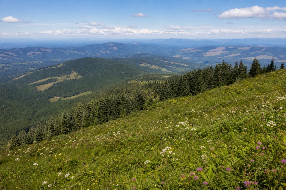
Beyond the arch, the tread gets steep and rough. Expect a short, overgrown stretch with loose footing on a steep slope, followed by a rock step that takes three points of contact to reach an overlook toward Adams and St. Helens. A slip here could be serious; avoid this route when wet or icy. After joining Silver Star Trail, follow it uphill to the rocky summit spur, then return to that junction and descend the old road grade. Give yourself time to stop: after snowmelt, wildflowers peak in June and July. At the summit, the old lookout foundation makes a good foreground against the five-volcano horizon.
 Parkwolf’s verdictThe hard part and the payoff
Map & elevation
Plan your hike

The highest, rockiest slopes around here are a summer buffet for grizzly bears.
Columbia River Gorge Tour Guide
Parkwolf is a GPS audio tour guide for Columbia River Gorge National Scenic Area. As you drive, it chimes in with what’s ahead: hidden gems, upcoming stops, history, geology, and wildlife, right through your car’s speakers.
“Fantastic app with many points of information… It’s great to just turn on while you’re driving and it gives you an audio tour of the national Park. We love it!!!!”


Trail guide
This is a roughly 5-mile loop from the north Silver Star Trailhead, with a short out-and-back spur to Silver Star’s summit. It climbs about 1,500 feet and takes most hikers around four hours. The route uses the old Silver Star road grade and Ed’s Trail 180A to reach the summit, then returns on Silver Star Trail 180. At the top, a former lookout foundation sits above views of Mounts Adams, St. Helens, Hood, Jefferson and Rainier when the air is clear.
From the gravel lot at the end of Forest Road 4109, follow a dirt path through young maples onto the old road grade. After about a mile, stay right for Ed’s Trail. Its narrow tread follows a steep hillside, weaving past rocky outcrops, open meadows, false summits and a natural arch you walk beneath. This is the scenic side of the loop, but the edge stays close and several connected paths make a current map useful.
The Forest Service trailhead is at the end of Forest Road 4109. The road is rough; the Forest Service recommends high clearance and does not recommend passenger cars. There is no fee or permit, and the site is day-use from sunrise to sunset. There is no potable water or restroom at the trailhead. Dogs are allowed on leash, but the exposed scrambling is a poor fit for many dogs. If you want the summit without Ed’s steep, rocky section, use Silver Star Trail for an out-and-back instead; it is less rugged but gives up the loop’s arch and ridge traverse.
Wildlife
 267 sightingsBald EagleMost seen around 7 AMSighting map
 51 sightingsBlack BearMost seen around 7 PMSighting map
 136 sightingsAmerican PikaMost seen around 8 AMSighting map
 16 sightingsWapitiMost seen around 7 AMSighting map
 195 sightingsMule DeerMost seen around 7 AMSighting map
 74 sightingsChinook SalmonMost seen around 6 PMSighting map
Sighting maps show where each species has been reported across Columbia River Gorge. Wildlife moves, so no sighting is guaranteed.
Keep exploring
 ChallengingCape Horn Loop Trail6.5 mi · 4.5 hr · 13 mi awayWaterfalls and river views reward a steep, varied Gorge loop.
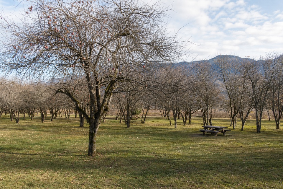 EasySt. Cloud Interpretive Trail #44100.5 mi · 24 min · 13.4 mi awayAn orchard loop with river views and a story rooted in 1909.
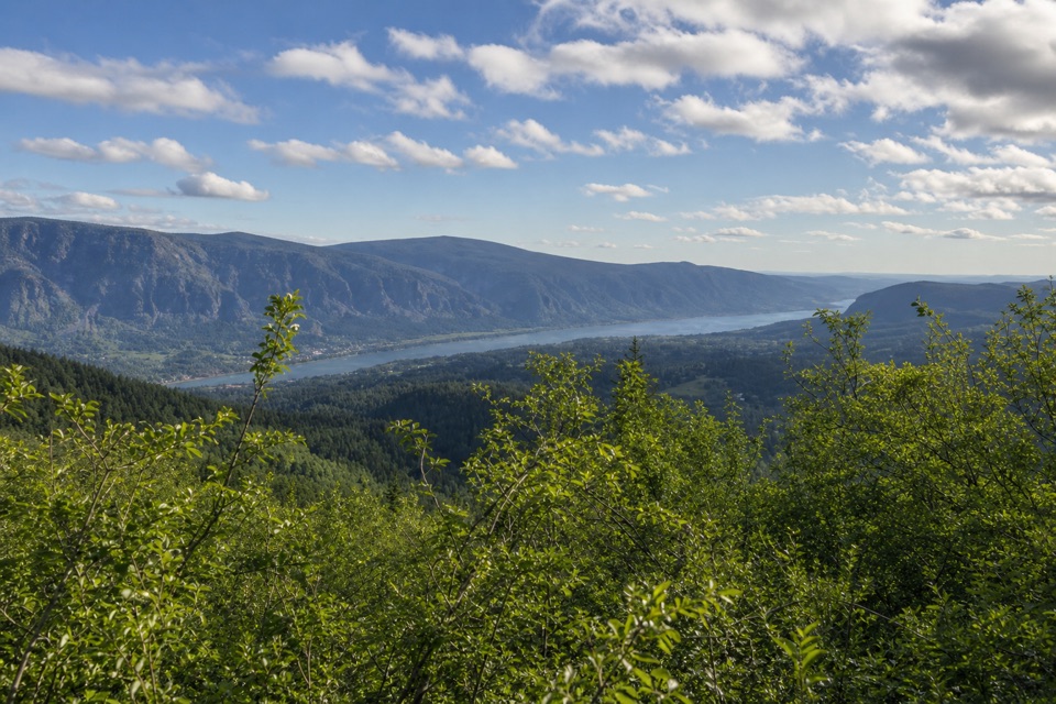 ChallengingHardy Ridge Loop8.1 mi · 5.5 hr · 13.6 mi awayA steep forest climb opens onto a rocky crest above the Gorge.
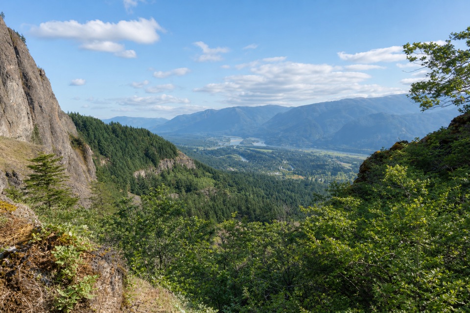 ModerateWest Hardy Trail5.6 mi · 3.5 hr · 13.6 mi awayA steady climb opens to west-facing Columbia Gorge views.
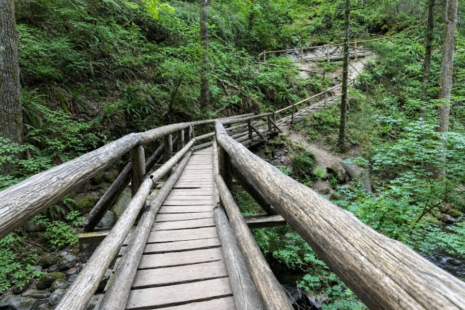 ModerateBridge Trail Loop7 mi · 4 hr · 13.6 mi awayA wooded loop to Hardy Creek’s big wooden bridge.
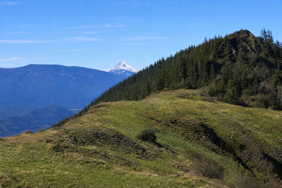 ModerateThe Saddle via Equestrian Trail7 mi · 4.5 hr · 13.6 mi awayA steady forest climb ends in a rocky gorge overlook.
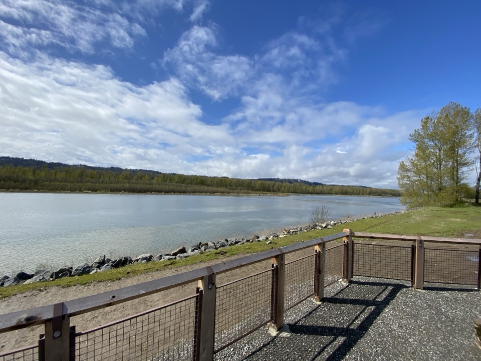 EasyGibbons Creek Wildlife Art Trail4.3 mi · 2 hr · 14.4 mi awayA flat levee loop with herons, hidden art, and two bridges.
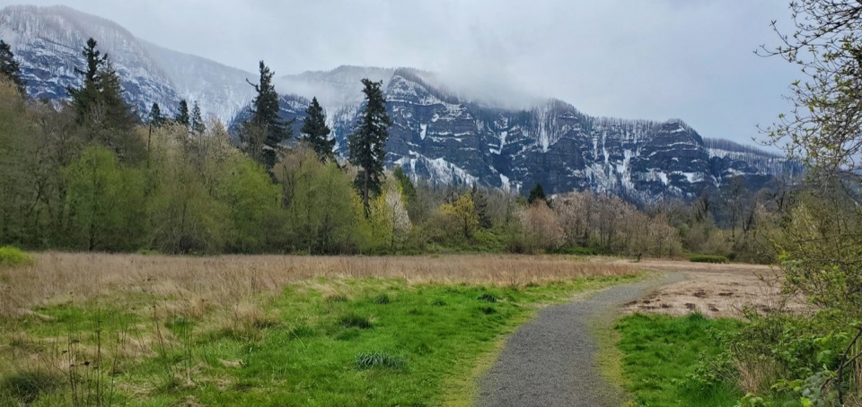 EasySams Walker Loop1.1 mi · 36 min · 14.4 mi awayA gentle gravel circuit reaches river views through varied woods.
Parkwolf’s Columbia River Gorge ranking
The audio tour guide for the drive, plus offline maps, trails, and wildlife heatmaps for when the signal drops.




