Angel's Rest Trail in Columbia River Gorge National Scenic Area

#5 of 111 trails in Columbia River Gorge

Columbia River Gorge National Scenic Area, OR · WA

Angel's Rest Trail

A steep climb to a rocky bluff above the Columbia Gorge.

Photo: Wikimedia Commons
Length
4.8mi
Time
3.5hr
Elev. change
1,478ft
Difficulty
Moderate
  • Dogs allowed
  • High point 1,600 ft

Hear the audio tour

Angel's Rest Trailhead

Overview

About Angel's Rest Trail

Why go

  • The waterfall, switchback climb, and summit keep the route varied.
  • A clear summit payoff for a half-day climb.

Heads up

  • Steep grades and a rough, exposed summit finish.
  • Small trailhead lots fill quickly in spring and summer.
Angel's Rest Trail is a 4.8-mile out-and-back from Angel's Rest Trailhead to a rocky bluff above the Columbia River. It climbs from the Historic Columbia River Highway through forest to Coopey Falls, then works up switchbacks to the ridge and turns left on a short spur to the viewpoint. This is a good pick if you want a hard half-day climb with a clear payoff; most of the effort comes from the 1,475 feet of gain, not the distance. Allow about three and a half hours, plus time on the rocks.
Parkwolf’s verdictIs this the hike for you?

Map & elevation

The route

Loading the Columbia River Gorge map
Full map
Elevation123–1,600 ft
TrailheadAngel's Rest Trailhead45.56027, -122.17268
Keep this map with you offline in the Parkwolf app

Plan your hike

Before you go

Parking

Angel's Rest Trailhead at Historic Columbia River Highway and East Bridal Veil Road. Two parking areas sit one above the other and fill quickly in spring and summer; park only in signed spaces. A day-use permit is required, with one-day permits available on site.

Safety

The final rocky bluff has steep, unprotected edges on three sides; stay well back. The route is a sustained steep climb and may be muddy or slick when wet. Dogs must be leashed, no potable water is available, and a day-use parking permit is required.

8 active Columbia River Gorge alerts

  • CautionCape Horn area access restrictionsMentions Cape Horn, referenced in this guideCape Horn access is restricted: do not drive on National Forest System trails or off National Forest System roads, enter after sundown or before sunrise, camp, or have campfires.Official details
  • ClosureEagle Creek Fire area closureDo not enter Oneonta Gorge or the specified trail sections because hazards remain following the Eagle Creek Fire.Official details
See all 8 alerts
A park ranger sits on a dash-mounted phone, talking, as Parkwolf’s Tour Guide plays “Army Cutworm Moths: A Grizzly Bear Buffet” on Grand Loop Road below Dunraven Pass in Yellowstone
Parkwolf Tour GuideThe highest, rockiest slopes around here are a summer buffet for grizzly bears.

Columbia River Gorge Tour Guide

Your drive to Angel's Rest Trail, narrated.

Parkwolf is a GPS audio tour guide for Columbia River Gorge National Scenic Area. As you drive, it chimes in with what’s ahead: hidden gems, upcoming stops, history, geology, and wildlife, right through your car’s speakers.

Recorded for this trailhead

Angel's Rest Trailhead
0:00 / 0:23
“You're approaching Angel's Rest Trailhead, where a steep climb leads to a rocky bluff above the Columbia.”

Plays as you drive up to this trailhead in the Parkwolf Columbia River Gorge Tour Guide.

More stories near here in the app

  • The Crew Behind the Climb
  • Bridal Veil Falls and the Bluff
  • The Postmark That Outlived the Mill
  • The Lumberman Who Gave Away the Falls
  • 217 audio storiesacross Columbia River Gorge’s roads, triggered by GPS as you drive
  • Wildlife heatmapsfor Bald Eagle, Black Bear, American Pika, and 13 more
  • Works offlinemaps, 111 trails, 78 places, and audio download before you lose signal
  • CarPlay readysimple controls built for the drive
★★★★★
“Fantastic app with many points of information… It’s great to just turn on while you’re driving and it gives you an audio tour of the national Park. We love it!!!!”
JMJamesApp Store review
Download Parkwolf on the App StoreGet Parkwolf on Google Play

4.7 from 8,600+ ratings

Trail guide

Hiking Angel's Rest Trail

The climbThe first half-mile rises at a steady 10 to 15 percent grade through forest.

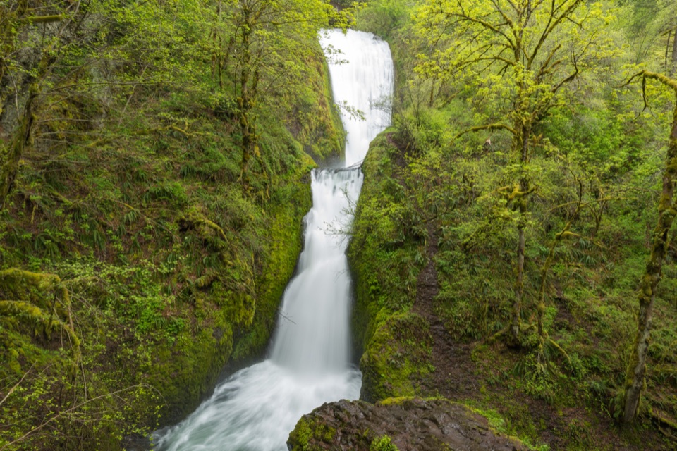
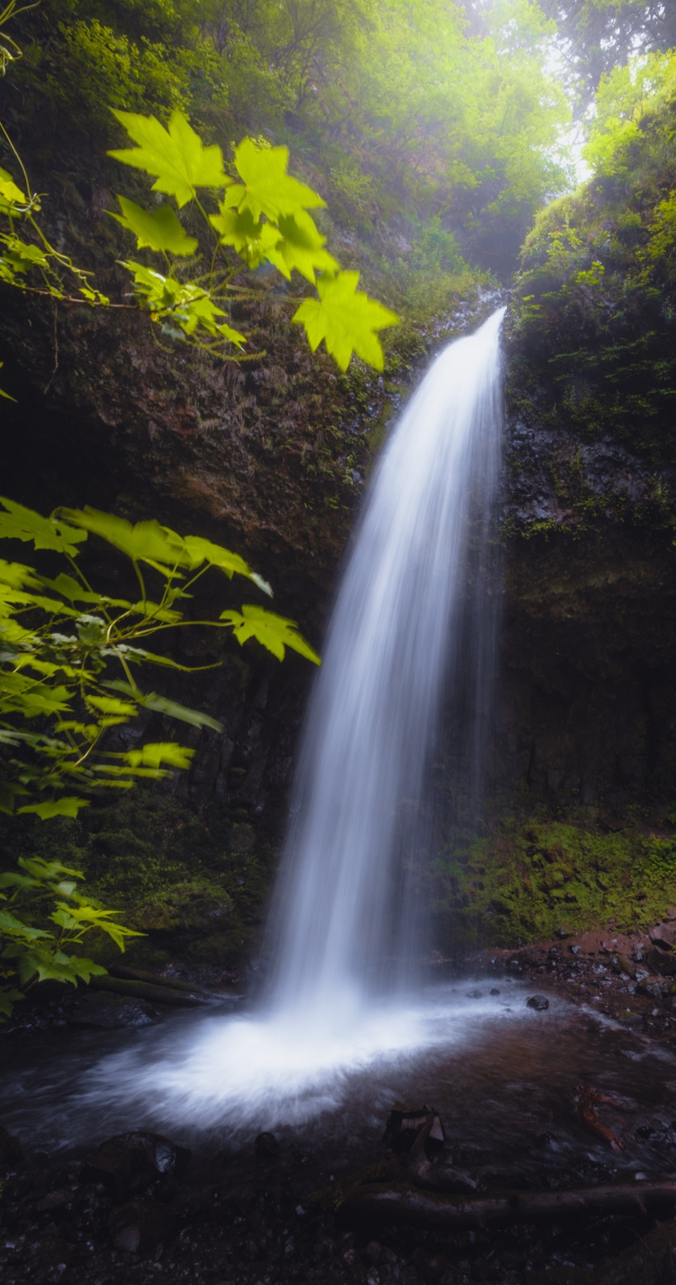
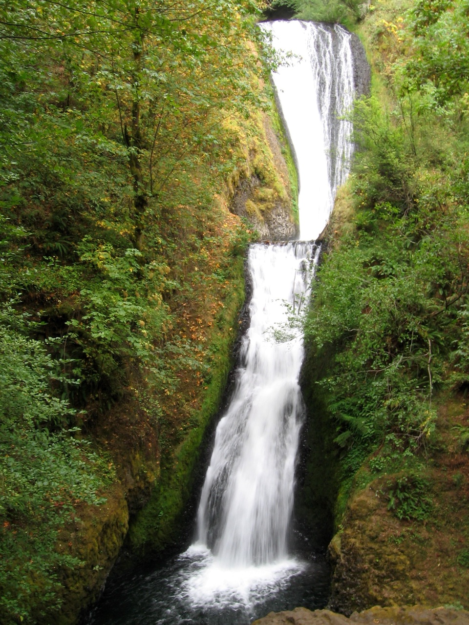
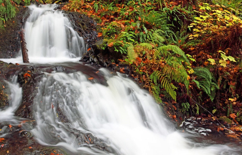
The first half-mile rises at a steady 10 to 15 percent grade through forest. At Coopey Falls, the trail reaches the top of the waterfall and crosses the creek on a footbridge. A short spur looks up toward Upper Coopey Falls. That gives you a sensible shorter turnaround if you want a waterfall walk but not the full climb.

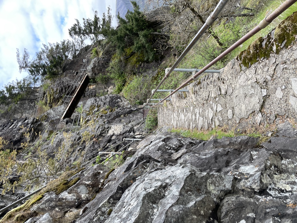
Beyond the bridge, expect roughly 1.6 miles of uphill switchbacks. The hillside still shows scars from an earlier fire, with recovering brush and open talus replacing dense shade in places. Views begin to spread across the Gorge as you gain height. The tread is dirt and rock; some stretches get muddy and slick in the wet season. The repeated bends keep the grade manageable, but the climb can feel longer than its mileage.

Turn left at the ridgeAt the ridge crest, turn left for Angel's Rest.

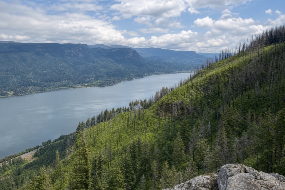
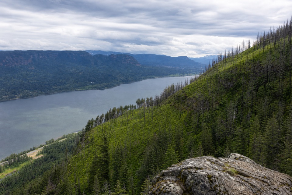
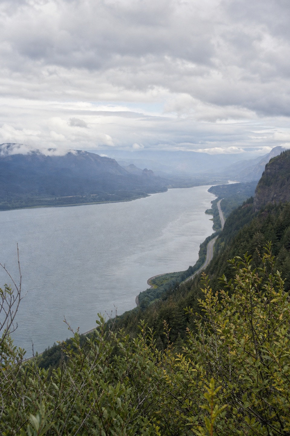
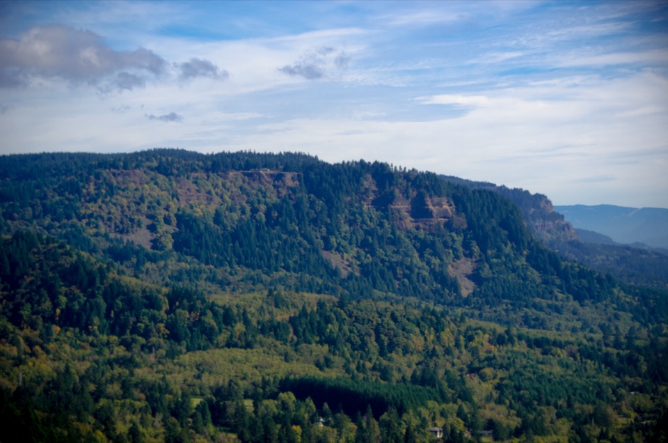
At the ridge crest, turn left for Angel's Rest. If you continue east, you're on the separate #415 extension toward Wahkeena Springs, not the usual viewpoint out-and-back. The short summit path reaches a long spine of platy andesite, part of a roughly million-year-old lava flow from Larch Mountain. The rock opens to a broad, roughly 270-degree view: the Columbia far below, Beacon Rock and Cape Horn across the river, and Portland and Sand Island toward the west. On the approach, a split-rail viewpoint frames Silver Star Mountain; check back for the keyhole profile of the point.

The final rock spine is exposed, with steep drops on three sides and no protective rail. The Forest Service warns of fatal falls here. Stay well back from the rim. From safer ground, keep the river and far cliffs in the frame so the photo shows the height of the bluff. Penstemon, iris and Oregon sunshine bloom on the open crest in late spring.


Start and finishUse Angel's Rest Trailhead at the junction of Historic Columbia River Highway and East Bridal…

Use Angel's Rest Trailhead at the junction of Historic Columbia River Highway and East Bridal Veil Road. There are two parking areas, one above the other; they fill quickly in spring and summer, and cars outside marked spaces can be cited and towed. A day-use permit is required, and one-day permits are sold on site. No potable water is available on the route.

Dogs are allowed on leash. Mud, ice or strong wind can make the steep upper route less comfortable, and the exposed summit is a poor place to wait out rough weather. If the climb isn't for you, turn around at Coopey Falls after the footbridge and waterfall spur; you'll miss the high Gorge views but still get the waterfall. The nearest documented restrooms are at Bridal Veil Trailhead, less than a mile west, a separate stop.

Wildlife

Wildlife in Columbia River Gorge

All Columbia River Gorge wildlife maps

Sighting maps show where each species has been reported across Columbia River Gorge. Wildlife moves, so no sighting is guaranteed.

Keep exploring

Near Angel's Rest Trail

See it all on the map

Trails that start nearby

Places near the trailhead

Parkwolf’s Columbia River Gorge ranking

Top-rated trails in Columbia River Gorge

All 111 trails
  1. 1Eagle Creek Trail #440 to Tunnel FallsChallenging · 11.7 mi
  2. 2Multnomah Falls Trail to the TopModerate · 2.4 mi
  3. 3Multnomah–Wahkeena Falls LoopChallenging · 4.8 mi
  4. 4Dog Mountain LoopChallenging · 6.9 mi
  5. 6Cape Horn Loop TrailChallenging · 6.5 mi
  6. 7Beacon Rock TrailModerate · 1.8 mi

Take Parkwolf to Columbia River Gorge.

The audio tour guide for the drive, plus offline maps, trails, and wildlife heatmaps for when the signal drops.

4.7 from 8,600+ ratings

Download Parkwolf on the App StoreGet Parkwolf on Google Play