Multnomah Falls Trail to the Top in Columbia River Gorge National Scenic Area

#2 of 111 trails in Columbia River Gorge

Columbia River Gorge National Scenic Area, OR · WA

Multnomah Falls Trail to the Top

Climb eleven switchbacks to a wooden overlook over the upper falls

Photo: Wikimedia Commons
Length
2.4mi
Time
1.8hr
Elev. change
712ft
Difficulty
Moderate
  • Dogs allowed
  • High point 768 ft

Hear the audio tour

Multnomah Falls and Lodge

Overview

About Multnomah Falls Trail to the Top

Why go

  • Wooden overlook at the lip of the upper falls
  • Columbia River views open along the switchbacks

Heads up

  • Steep, crowded paved climb above Benson Bridge

Map & elevation

The route

Loading the Columbia River Gorge map
Full map
Elevation56–768 ft
TrailheadMultnomah Falls Lodge / Visitor Center45.57740, -122.11670
Keep this map with you offline in the Parkwolf app

Plan your hike

Before you go

Parking

Start at Multnomah Falls Lodge / visitor center. The large public lot at I-84 Exit 31 is free but often fills early, and its entrance closes when full; a short paved walk connects it to the lodge. Limited parking beside the lodge is privately operated and paid. A timed-use permit is required for I-84 lot arrivals from late May through early September, 9 a.m.–6 p.m.; a permit does not guarantee a parking space.

Safety

The climb beyond Benson Bridge is steep and runs beside drop-offs; stay on the paved tread behind the cable-linked posts. The upper platform stands at the lip above a 542-foot plunge. A short flight of steps interrupts the otherwise paved lower approach, and a seasonal timed-use permit is required for I-84 lot arrivals during the stated peak period.

8 active Columbia River Gorge alerts

  • ClosureEagle Creek Fire area closureDo not enter Oneonta Gorge or the specified trail sections because hazards remain following the Eagle Creek Fire.Official details
  • CautionAircraft and drone restrictions at developed recreation sitesAircraft and drone landings, drop-offs, and pickups are prohibited at six high-use developed recreation sites to protect visitor safety.Official details
See all 8 alerts
A park ranger sits on a dash-mounted phone, talking, as Parkwolf’s Tour Guide plays “Army Cutworm Moths: A Grizzly Bear Buffet” on Grand Loop Road below Dunraven Pass in Yellowstone
Parkwolf Tour GuideThe highest, rockiest slopes around here are a summer buffet for grizzly bears.

Columbia River Gorge Tour Guide

Your drive to Multnomah Falls Trail to the Top, narrated.

Parkwolf is a GPS audio tour guide for Columbia River Gorge National Scenic Area. As you drive, it chimes in with what’s ahead: hidden gems, upcoming stops, history, geology, and wildlife, right through your car’s speakers.

Recorded for this trailhead

Multnomah Falls and Lodge
0:00 / 0:36
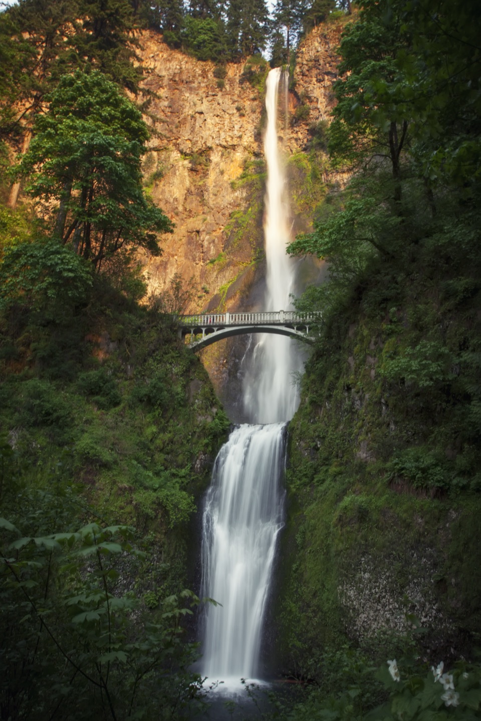
“You're approaching Multnomah Falls and its historic lodge. The falls drop about six hundred and twenty feet in two tiers, with Benson Bridge crossing between them.”

Plays as you drive up to this trailhead in the Parkwolf Columbia River Gorge Tour Guide.

More stories near here in the app

  • Benson State Recreation Area
  • Wahkeena Falls
  • The Falls’ Hidden Supply
  • The Salmon Staircase
  • 217 audio storiesacross Columbia River Gorge’s roads, triggered by GPS as you drive
  • Wildlife heatmapsfor Bald Eagle, Black Bear, American Pika, and 13 more
  • Works offlinemaps, 111 trails, 78 places, and audio download before you lose signal
  • CarPlay readysimple controls built for the drive
★★★★★
“Fantastic app with many points of information… It’s great to just turn on while you’re driving and it gives you an audio tour of the national Park. We love it!!!!”
JMJamesApp Store review
Download Parkwolf on the App StoreGet Parkwolf on Google Play

4.7 from 8,600+ ratings

Trail guide

Hiking Multnomah Falls Trail to the Top

The full climbThis is a 2.

This is a 2.4-mile out-and-back from Multnomah Falls Lodge to the wooden overlook above the upper tier, then back down the same way. The 2.4 miles is the whole trip there and back, not just the climb. Plan around 1.5–2 hours, with time to pause at the bridge and viewpoints. Published elevation-gain estimates range from about 600 to 870 feet, but every account agrees the climb above the bridge is steep. Choose this route if you want the falls at eye level, then directly beneath you at the upper lip; the lower viewing area is a much shorter visit.

On the way upThe route starts beside the historic lodge and visitor center.

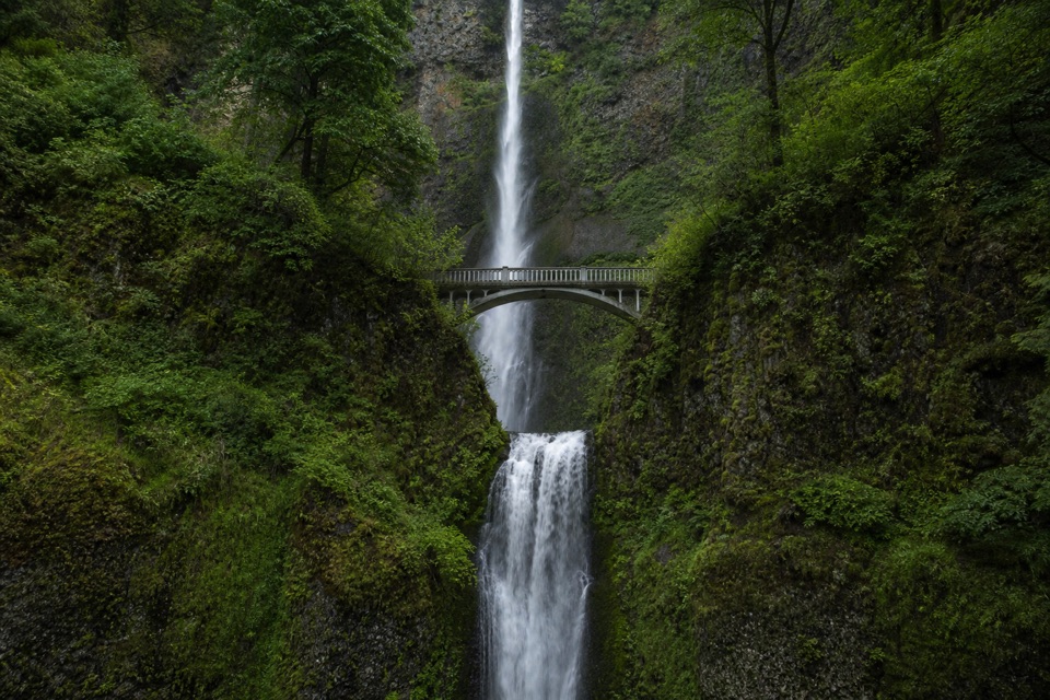
The route starts beside the historic lodge and visitor center. A gently sloped paved path reaches Benson Bridge in roughly 0.2 mile, passing under a rock net; seasonal Shady Creek Falls spills down a cliff nearby when it is flowing. Benson Bridge crosses between Multnomah’s tiers over the splash pool. This lower approach is the easiest portion, though a short flight of steps interrupts the step-free path, and crowds often gather at the bridge.

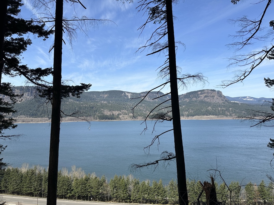
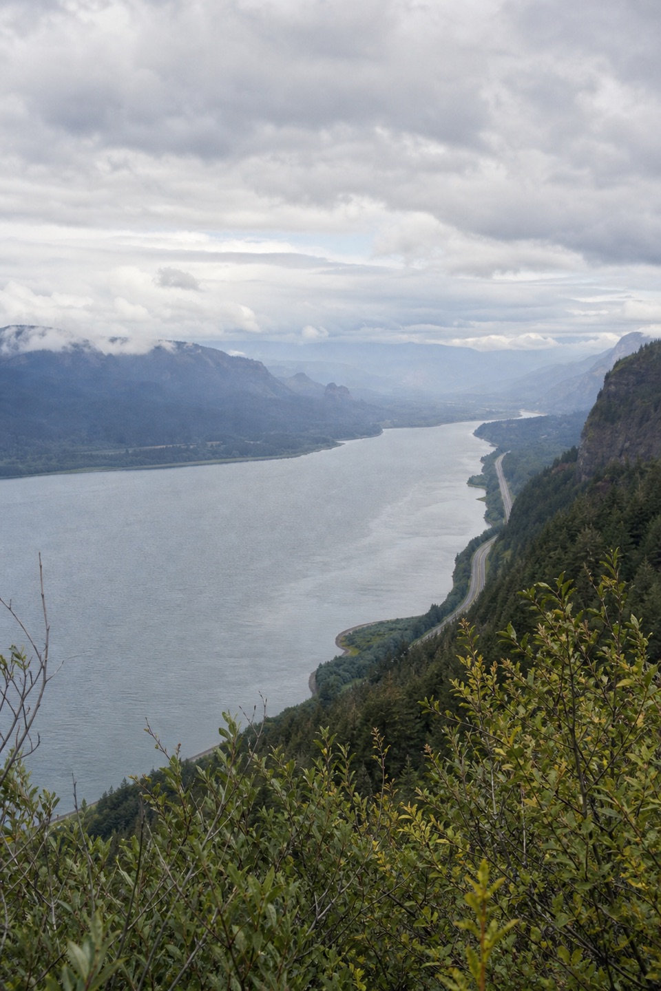
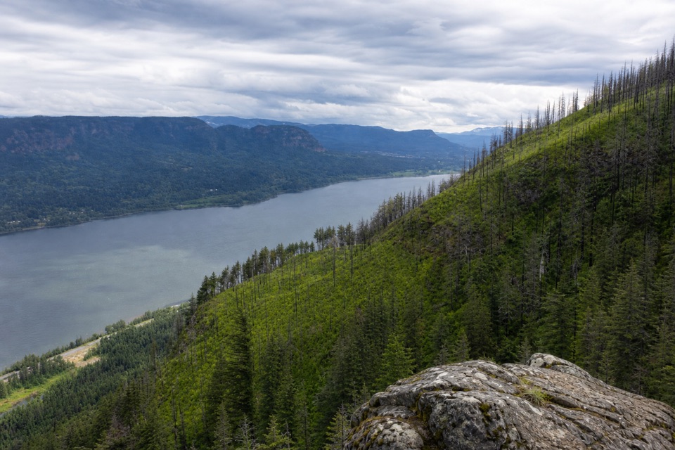
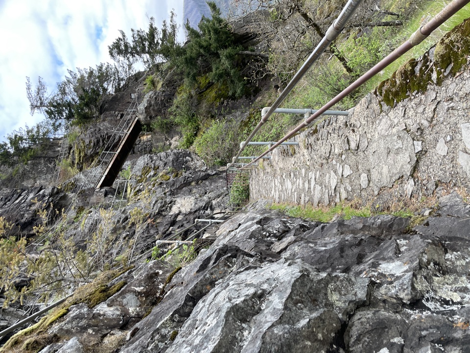
Beyond Benson Bridge, stay on the steep paved trail as it climbs 11 switchbacks. The path hugs the slope; posts linked with cable protect the drop-offs. A bench at a falls viewpoint gives you a reason to pause, and the turns gradually open Columbia River views. Expect the upper mile to feel like work: it gains height continuously, and the same exposed stretch can feel much longer in a crowd.

The upper overlookAt the ridge, follow the signed right turn onto 441A.

At the ridge, follow the signed right turn onto #441A. Two short switchbacks drop to a wooden platform at the lip of the upper falls. The deck looks down toward the lodge and the plunge, with the pool and dark columnar basalt close beside it; stay on the platform, behind its barriers. The upper tier falls 542 feet, with a smaller 10-foot drop into a shaded basalt bowl above it. The full waterfall measures 620 feet across its tiers. Six Grande Ronde Basalt flows show in the cliff, preserving more than 400,000 years of volcanic history.

The falls usually run strongest in winter and spring; cold snaps can wrap the water in ice. From below, the classic view includes both main tiers and Benson Bridge; from the deck, look down toward the pool for a completely different angle. The bridge and lower view are a good stopping point if the full climb is more than you want.


Access and parkingThe free public lot at I-84 Exit 31 is the most straightforward start; it is large, but fills…

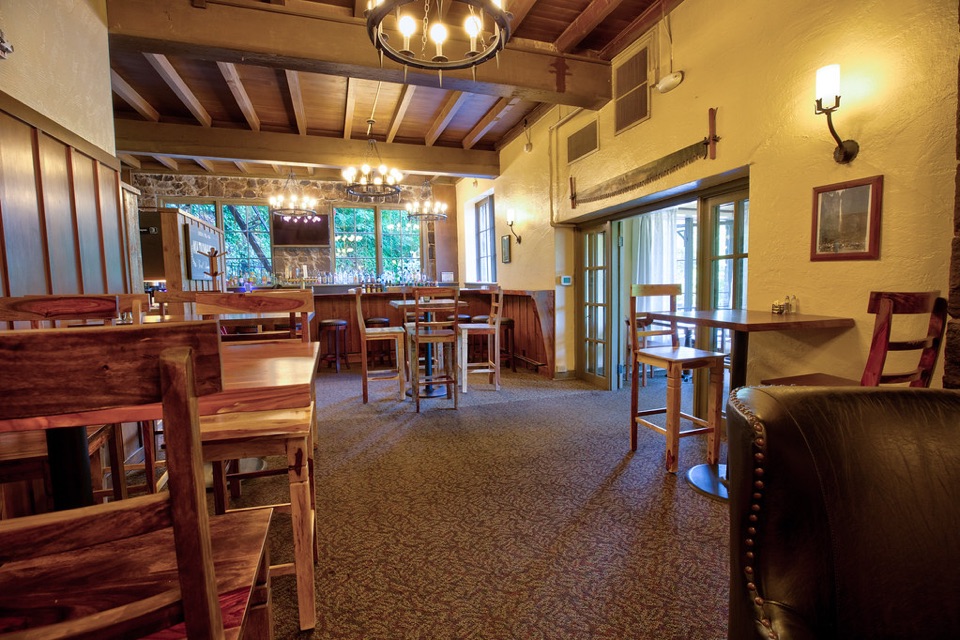
The free public lot at I-84 Exit 31 is the most straightforward start; it is large, but fills early, and the entrance closes when full. A short paved walk connects it to the lodge. The smaller lot beside the lodge is privately operated and paid. From late May through early September, arriving at the I-84 lot between 9 a.m. and 6 p.m. requires a timed-use permit; getting a permit does not guarantee a space. The lodge has a visitor center, snack bar, gift shop and an upper-level restaurant at the trailhead, useful before or after the climb. Dogs are allowed on leash. The whole waterfall area is among the Gorge’s busiest stops, so an early or late arrival is the better bet for breathing room.

Wildlife

Wildlife in Columbia River Gorge

All Columbia River Gorge wildlife maps

Sighting maps show where each species has been reported across Columbia River Gorge. Wildlife moves, so no sighting is guaranteed.

Keep exploring

Near Multnomah Falls Trail to the Top

See it all on the map

Trails that start nearby

Places near the trailhead

Parkwolf’s Columbia River Gorge ranking

Top-rated trails in Columbia River Gorge

All 111 trails
  1. 1Eagle Creek Trail #440 to Tunnel FallsChallenging · 11.7 mi
  2. 3Multnomah–Wahkeena Falls LoopChallenging · 4.8 mi
  3. 4Dog Mountain LoopChallenging · 6.9 mi
  4. 5Angel's Rest TrailModerate · 4.8 mi
  5. 6Cape Horn Loop TrailChallenging · 6.5 mi
  6. 7Beacon Rock TrailModerate · 1.8 mi

Take Parkwolf to Columbia River Gorge.

The audio tour guide for the drive, plus offline maps, trails, and wildlife heatmaps for when the signal drops.

4.7 from 8,600+ ratings

Download Parkwolf on the App StoreGet Parkwolf on Google Play