Parking
Use the main entrance parking lot at the signed Mt. View Trailhead, off Lewis and Clark Highway. The trail starts from the lot.
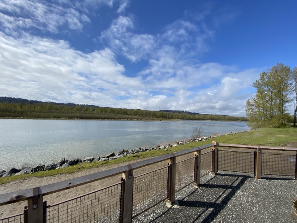
Columbia River Gorge National Scenic Area, OR · WA
A flat levee loop with herons, hidden art, and two bridges.
Overview
Map & elevation
Plan your hike

The highest, rockiest slopes around here are a summer buffet for grizzly bears.
Columbia River Gorge Tour Guide
Parkwolf is a GPS audio tour guide for Columbia River Gorge National Scenic Area. As you drive, it chimes in with what’s ahead: hidden gems, upcoming stops, history, geology, and wildlife, right through your car’s speakers.
Recorded for this area
Wait for the Heron to Strike“Along Steigerwald's wetland trails, a great blue heron may look like a blue-gray post in the shallows. That stillness is how it hunts.”
Plays on the road 0.2 mi from the trailhead in the Parkwolf Columbia River Gorge Tour Guide.
More stories near here in the app
“Fantastic app with many points of information… It’s great to just turn on while you’re driving and it gives you an audio tour of the national Park. We love it!!!!”


Trail guide
Gibbons Creek Wildlife Art Trail is an easy, mostly level 4.3-mile loop from the refuge’s Mt. View Trailhead. It links the wide Mountain View levee path, the one-mile Gibbons connector around Redtail Lake, and Refuge River Trail on the return. Plan about two hours with stops; the point is to watch the wetlands and notice the art, not to hurry through.
From the main parking lot, follow Mountain View Trail along the top of the west levee for about a mile to the Columbia River. The gravel track is wide and gentle, but this stretch has no shade or wind shelter. On clear days Mount Hood appears over the refuge. Turn east on Refuge River Trail for about 0.3 mile to Gibbons Creek Wildlife Art Trail. The pedestrian connector passes around Redtail Lake, crossing two bridges before it meets Refuge River again. Follow the river path west about a mile to Mountain View, then retrace the levee trail to the lot. The Refuge River route is mostly compacted gravel, with about 0.3 mile of soft sand between the Gibbons junctions; footing is not firm all the way around.
Redtail Lake is the best place to pause: look for turtles sunning along the water and great blue herons. Quotes tucked into stone benches, small sculptures, and wildlife-shaped bike racks turn the walk into a low-key art hunt. The 2022 restoration reconnected Gibbons Creek and the refuge’s historic floodplain to the Columbia, and the route passes ponds, channels, and open fields. At the river lookout, frame the channel between the refuge and Reef Island with the railing in view; it gives the water more scale than a tight shot.
Start at the signed Mt. View Trailhead on Lewis and Clark Highway. A non-flushing pit toilet is at the lot; food and drinking water were not found on the route. The refuge is day-use only. Dogs and bikes are prohibited on Mountain View and Gibbons, so this is not a dog walk. The soft sand makes the whole loop less suitable for anyone who needs a consistently firm surface.
Wildlife
 267 sightingsBald EagleMost seen around 7 AMSighting map
 51 sightingsBlack BearMost seen around 7 PMSighting map
 136 sightingsAmerican PikaMost seen around 8 AMSighting map
 16 sightingsWapitiMost seen around 7 AMSighting map
 195 sightingsMule DeerMost seen around 7 AMSighting map
 74 sightingsChinook SalmonMost seen around 6 PMSighting map
Sighting maps show where each species has been reported across Columbia River Gorge. Wildlife moves, so no sighting is guaranteed.
Keep exploring
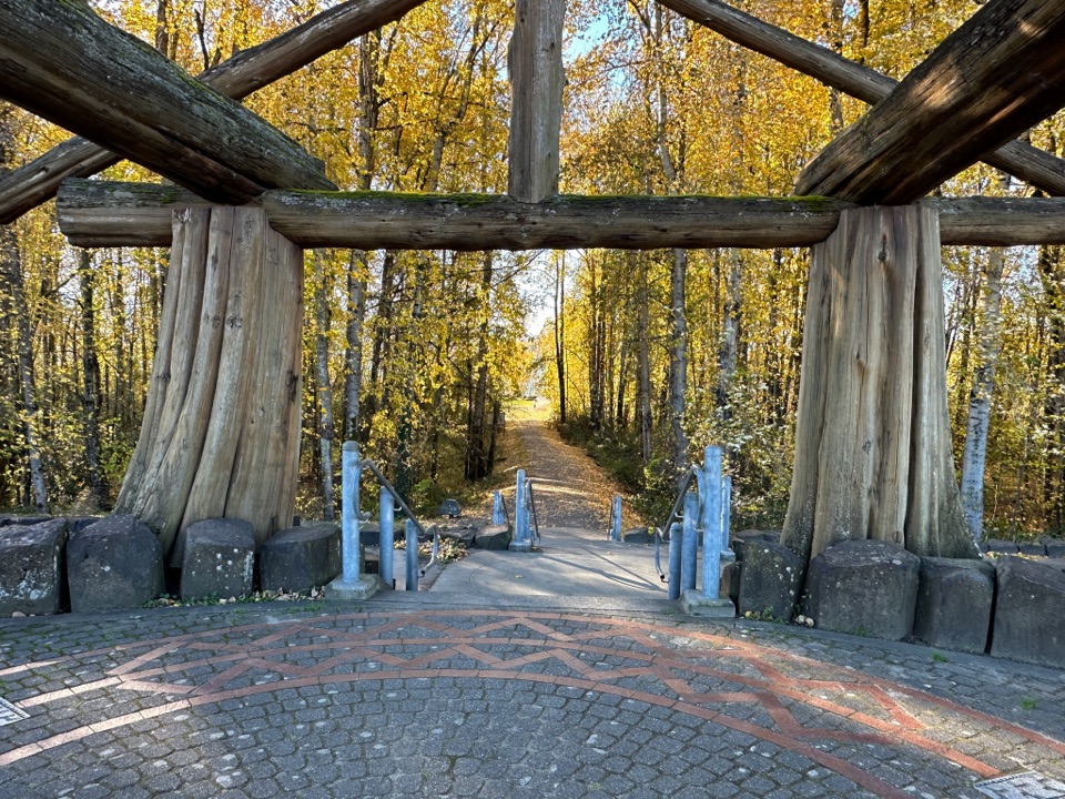 EasyWashougal Waterfront Trail2 mi · 1 hr · 2.8 mi awayFlat, paved 2-mile walk beside the Columbia River
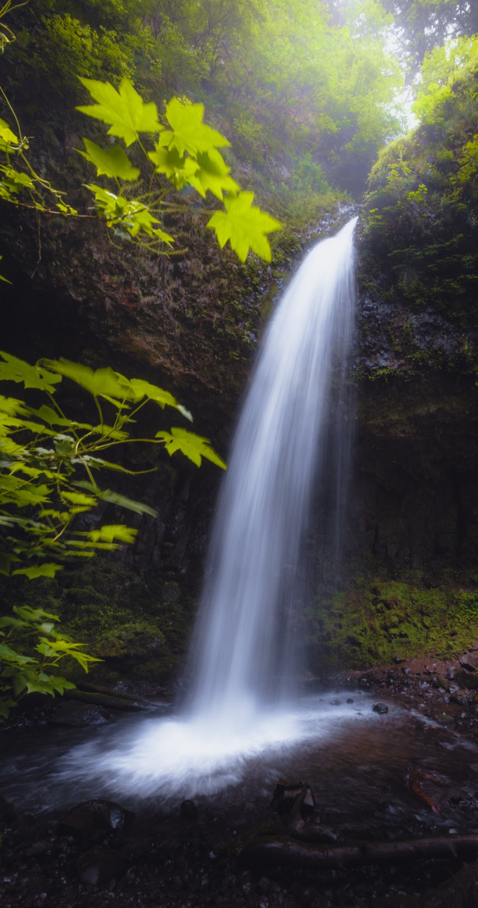 ModerateLatourell Falls Loop2 mi · 1.5 hr · 5.5 mi awayFollow Latourell Creek to two waterfalls and a hidden upper drop.
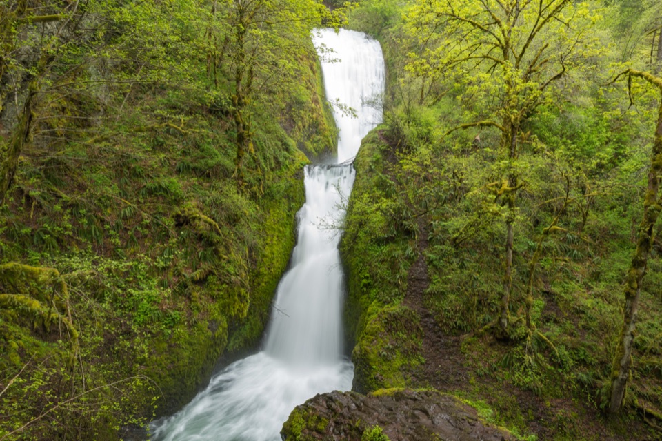 ModerateBridal Veil Falls Trail0.6 mi · 45 min · 6.8 mi awayA two-tier waterfall waits beyond ninety steps and a shady creek.
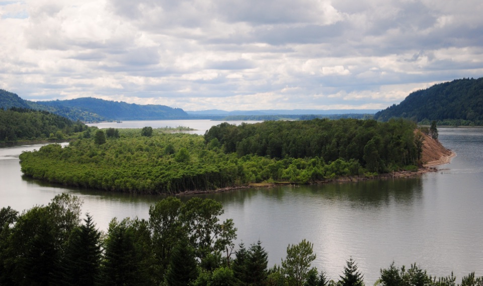 EasyBridal Veil Overlook Loop Trail0.3 mi · 20 min · 6.8 mi awayA brief paved loop for river cliffs and basalt landmarks.
 ChallengingCape Horn Loop Trail6.5 mi · 4.5 hr · 7 mi awayWaterfalls and river views reward a steep, varied Gorge loop.
 ModerateAngel's Rest Trail4.8 mi · 3.5 hr · 7.2 mi awayA steep climb to a rocky bluff above the Columbia Gorge.
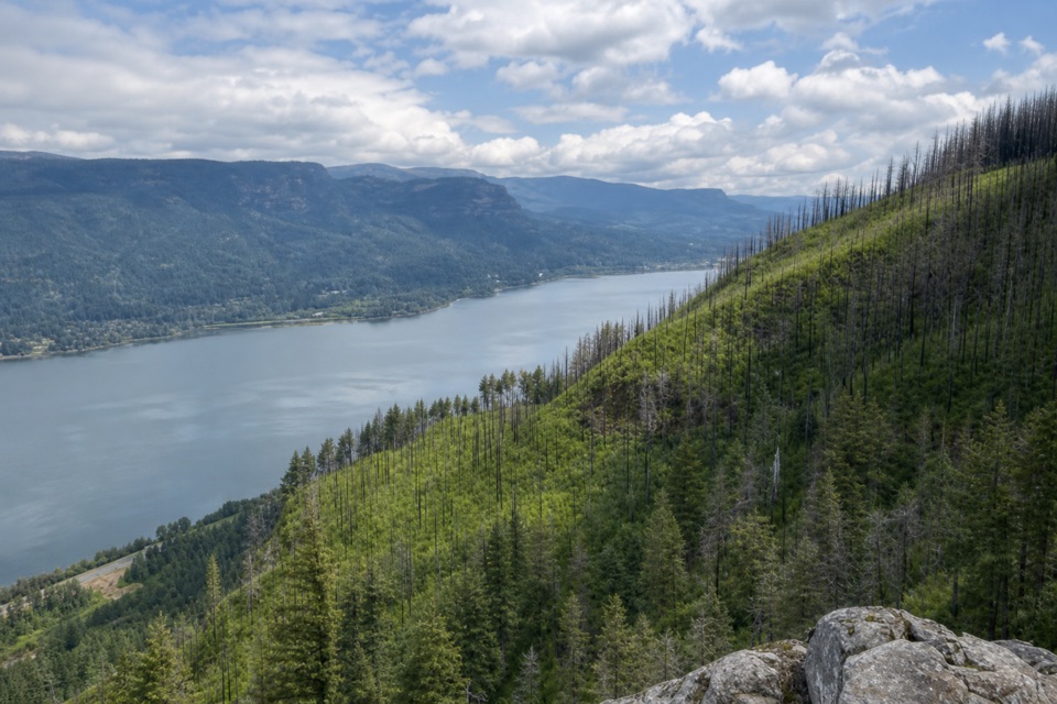 ChallengingAngel's Rest to Devil's Rest Loop10.7 mi · 7.5 hr · 7.2 mi awayA long Gorge loop from river views to a quieter forest summit.
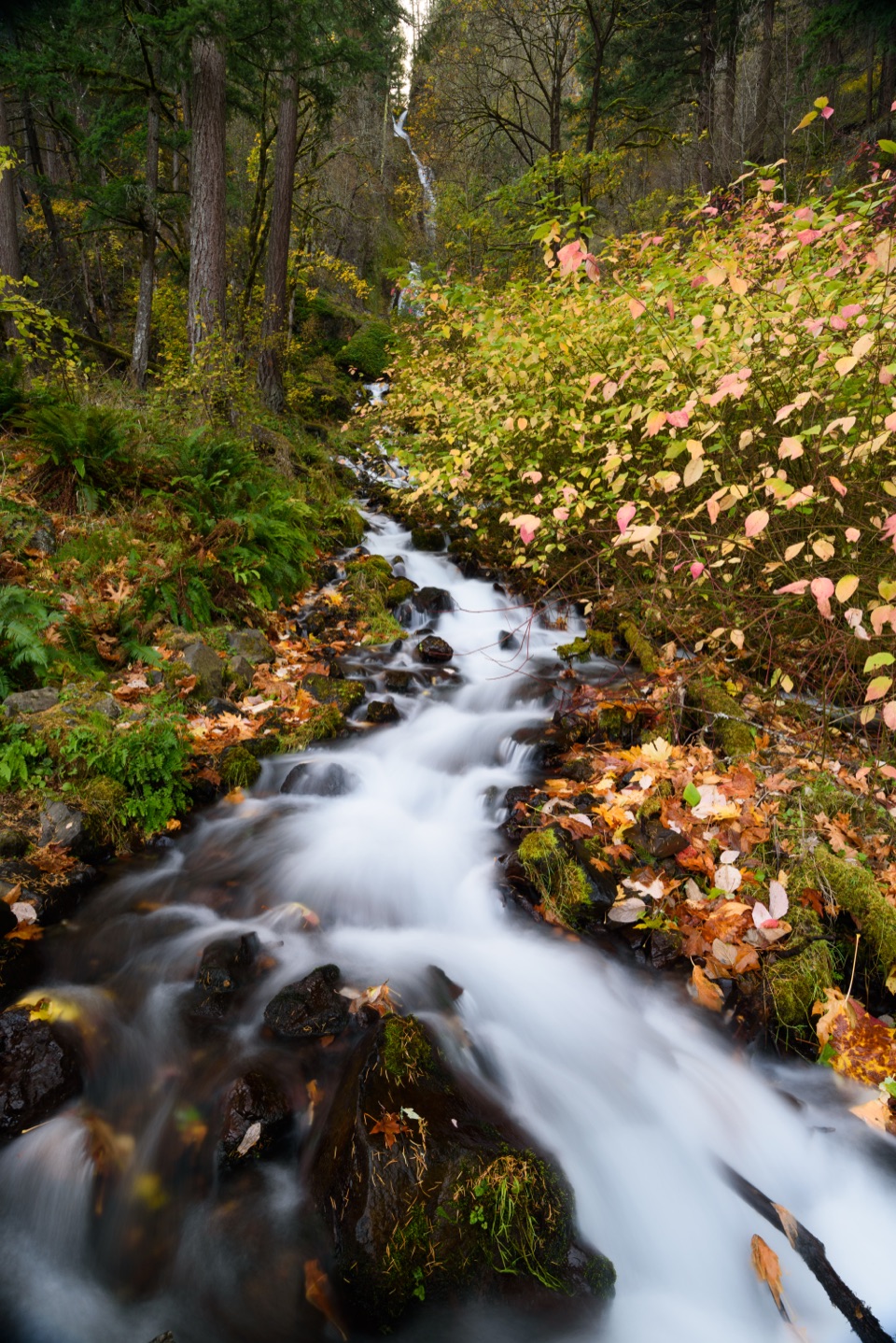 ModerateWahkeena Falls Trail to Lemmons Viewpoint1.5 mi · 1.5 hr · 9.3 mi awayA stone bridge, plunging falls, and a Gorge overlook on one climb.
 Visitor center · 3.7 mi awayGateway to the Gorge Visitor CenterA historic depot with a ten-foot Multnomah Falls painting.
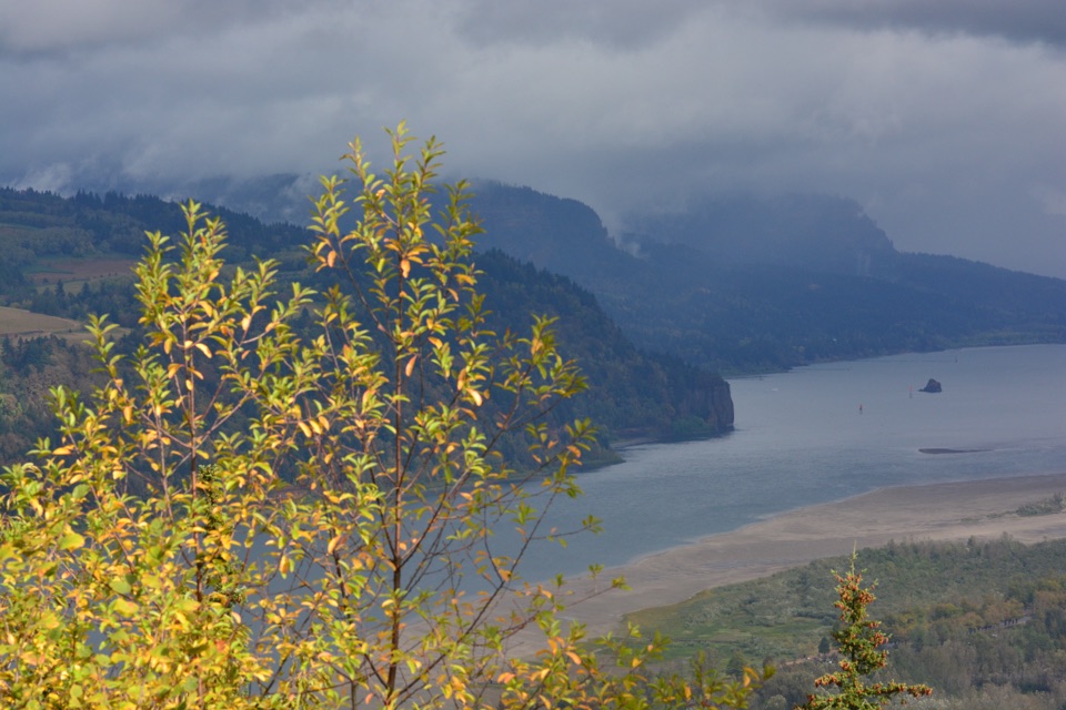 Sight · 3.9 mi awayPortland Women’s Forum State Scenic ViewpointThe classic roadside frame for Vista House at Crown Point.
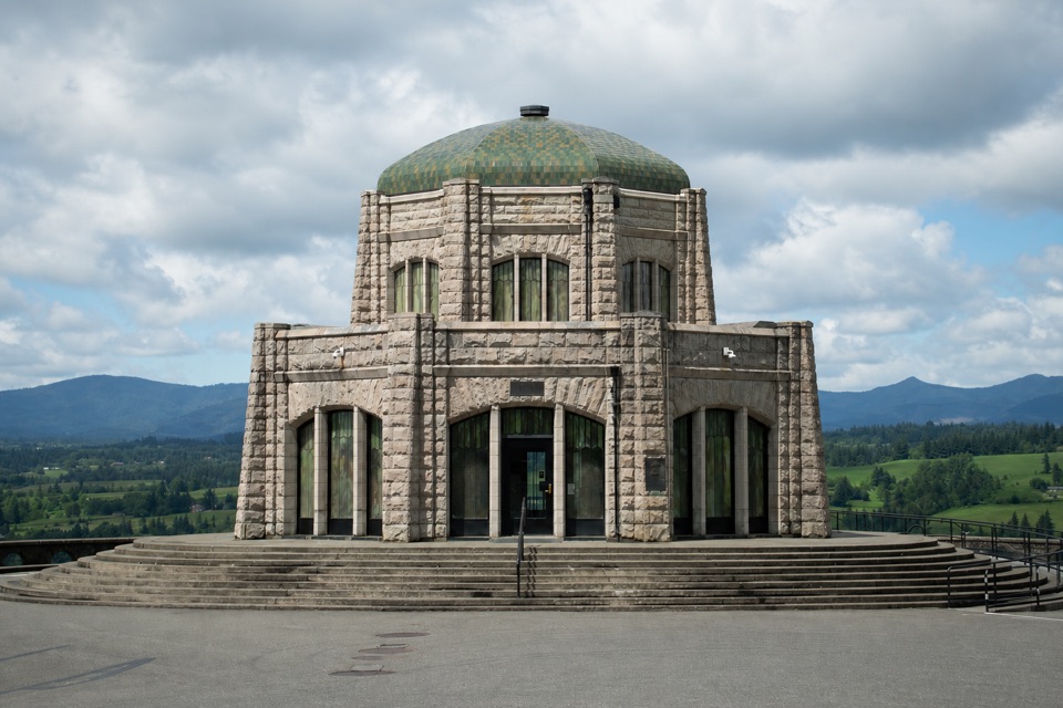 Sight · 4.3 mi awayVista House at Crown PointA 1918 sandstone observatory above a sweeping river gorge view.
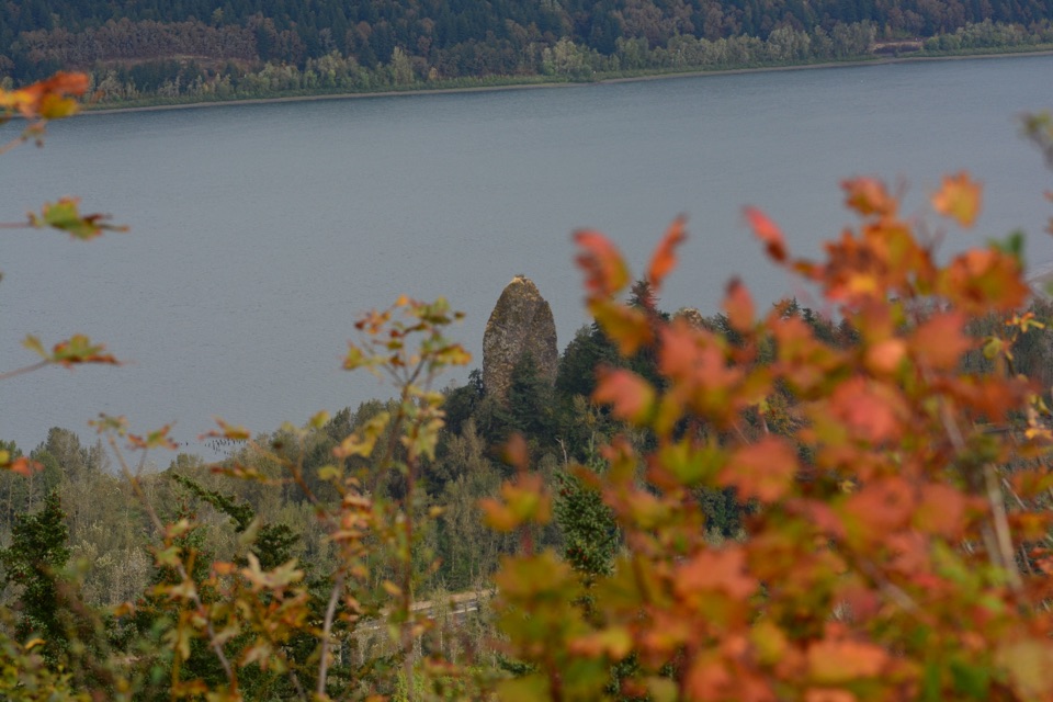 Sight · 4.4 mi awayRooster Rock State ParkThree miles of river access, with a separate clothing-optional beach.
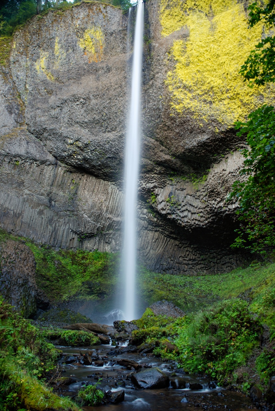 Sight · 5.5 mi awayLatourell FallsA paved walk reaches the lichen-bright plunge; loops climb to upper falls.
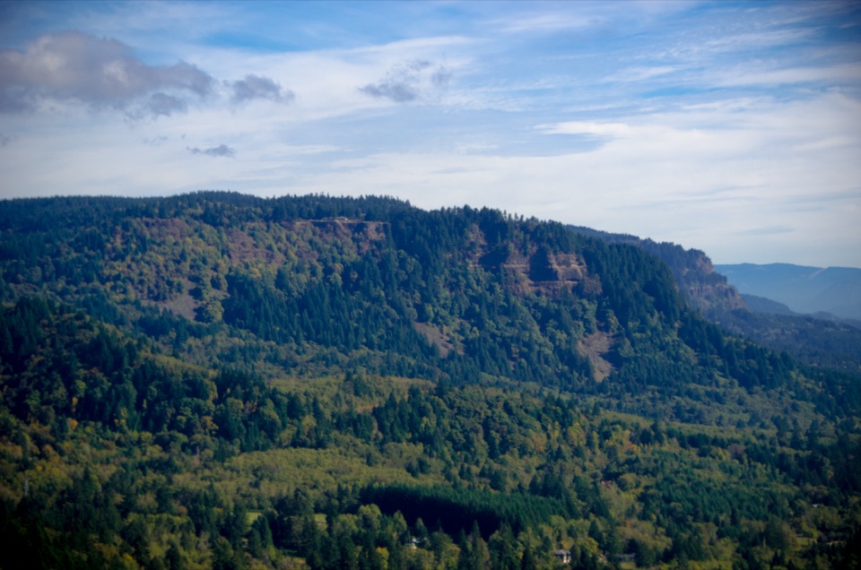 Sight · 6 mi awayNancy Russell Cape Horn OverlookA stone-walled Gorge perch at the end of a steep trail.
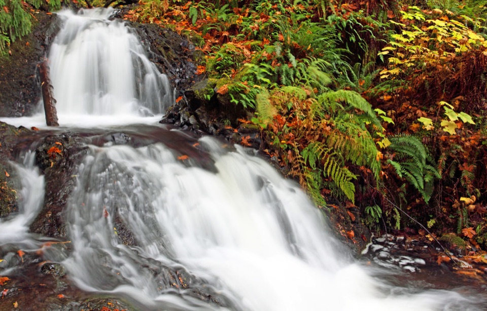 Sight · 6.2 mi awayShepperd’s Dell FallsA quick bridge-and-falls stop, with steps down to the creek.
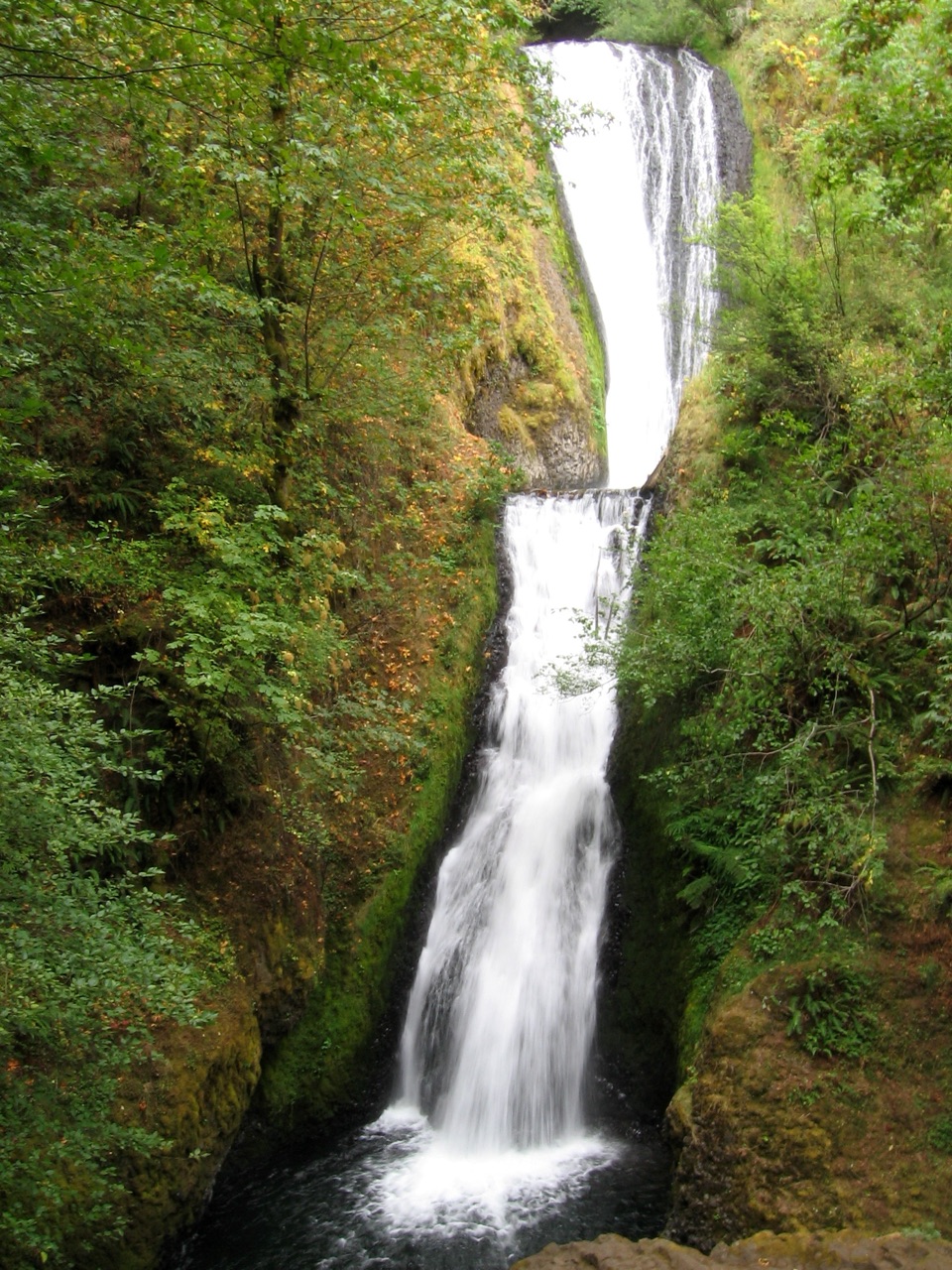 Sight · 6.8 mi awayBridal Veil FallsA steep falls trail and an easy bluff loop share one stop.
Parkwolf’s Columbia River Gorge ranking

The audio tour guide for the drive, plus offline maps, trails, and wildlife heatmaps for when the signal drops.



