Parking
Turn from SR 14 at milepost 32.8 onto Skamania Landing Road; after crossing the railroad tracks, turn right into Sams Walker Day Use Area. A day-use fee or valid recreation pass is required. The lot has a restroom but no potable water.
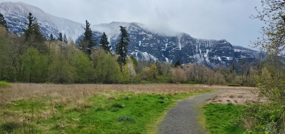
Columbia River Gorge National Scenic Area, OR · WA
A gentle gravel circuit reaches river views through varied woods.
Overview
Map & elevation
Plan your hike

The highest, rockiest slopes around here are a summer buffet for grizzly bears.
Columbia River Gorge Tour Guide
Parkwolf is a GPS audio tour guide for Columbia River Gorge National Scenic Area. As you drive, it chimes in with what’s ahead: hidden gems, upcoming stops, history, geology, and wildlife, right through your car’s speakers.
Recorded for this trailhead
Sams Walker Day Use Area“Up ahead is Sams Walker Day Use Area, where a flat gravel loop takes you from former farm fields into white oak and cedar woods, then out to the river.”
Plays as you drive up to this trailhead in the Parkwolf Columbia River Gorge Tour Guide.
More stories near here in the app
“Fantastic app with many points of information… It’s great to just turn on while you’re driving and it gives you an audio tour of the national Park. We love it!!!!”


Trail guide
Sams Walker Loop is a flat, 1.1-mile loop from the day-use lot, with a short access stretch walked twice to complete the circuit. The gravel path passes restored former fields, oak woodland and cedar forest before reaching river overlooks with picnic benches. It’s an easy half-hour outing for a quiet walk and a useful change of habitat.
At the first fork, take the right-hand path through the fields, then head south toward the mossy bench and picnic table near the Columbia before looping back. Small side loops meet the main route; stay on the larger circuit for the 1.1-mile walk, then return along the same short access path. The footing is gravel and the route stays mostly level, with about 50 feet of climbing. Allow 30–45 minutes, longer if you stop to read the interpretive signs or watch birds. From the river overlooks, frame a little of the trail or trees along with the view toward Oregon. This is a relaxed stroll rather than a workout.
Turn off SR 14 at milepost 32.8 onto Skamania Landing Road; after crossing railroad tracks, turn right into Sams Walker Day Use Area. The lot has a restroom, but there’s no potable water. A day-use fee or valid recreation pass is required. Dogs are allowed on leash. A seasonal shuttle serves the trailhead on some peak-bloom weekends; check current service dates before relying on it.
Wildlife
 267 sightingsBald EagleMost seen around 7 AMSighting map
 51 sightingsBlack BearMost seen around 7 PMSighting map
 136 sightingsAmerican PikaMost seen around 8 AMSighting map
 16 sightingsWapitiMost seen around 7 AMSighting map
 195 sightingsMule DeerMost seen around 7 AMSighting map
 74 sightingsChinook SalmonMost seen around 6 PMSighting map
Sighting maps show where each species has been reported across Columbia River Gorge. Wildlife moves, so no sighting is guaranteed.
Keep exploring
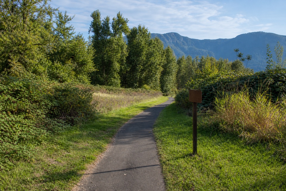 EasyDoetsch Walking Path1.2 mi · 36 min · 1.3 mi awayA nearly flat meadow loop with Gorge views and ranch history.
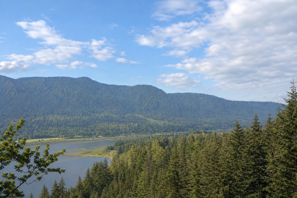 EasyRiver to Rock Trail1.5 mi · 54 min · 1.5 mi awayA short forest connector with a Beacon Rock view at Riddell Lake
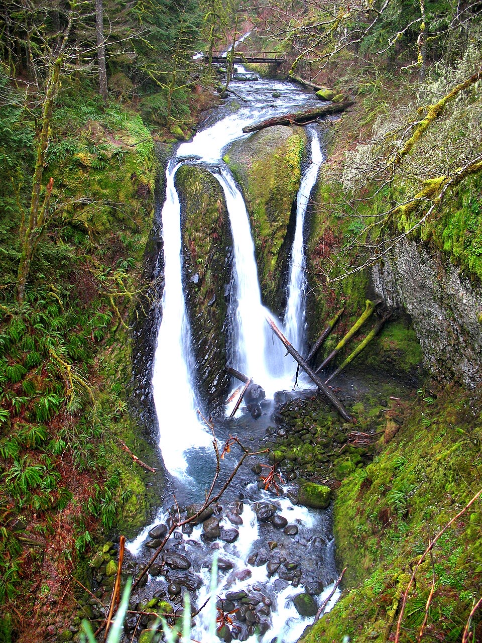 ModerateHorsetail, Ponytail, & Triple Falls4.1 mi · 3 hr · 1.7 mi awayWalk behind one waterfall on your way to two more.
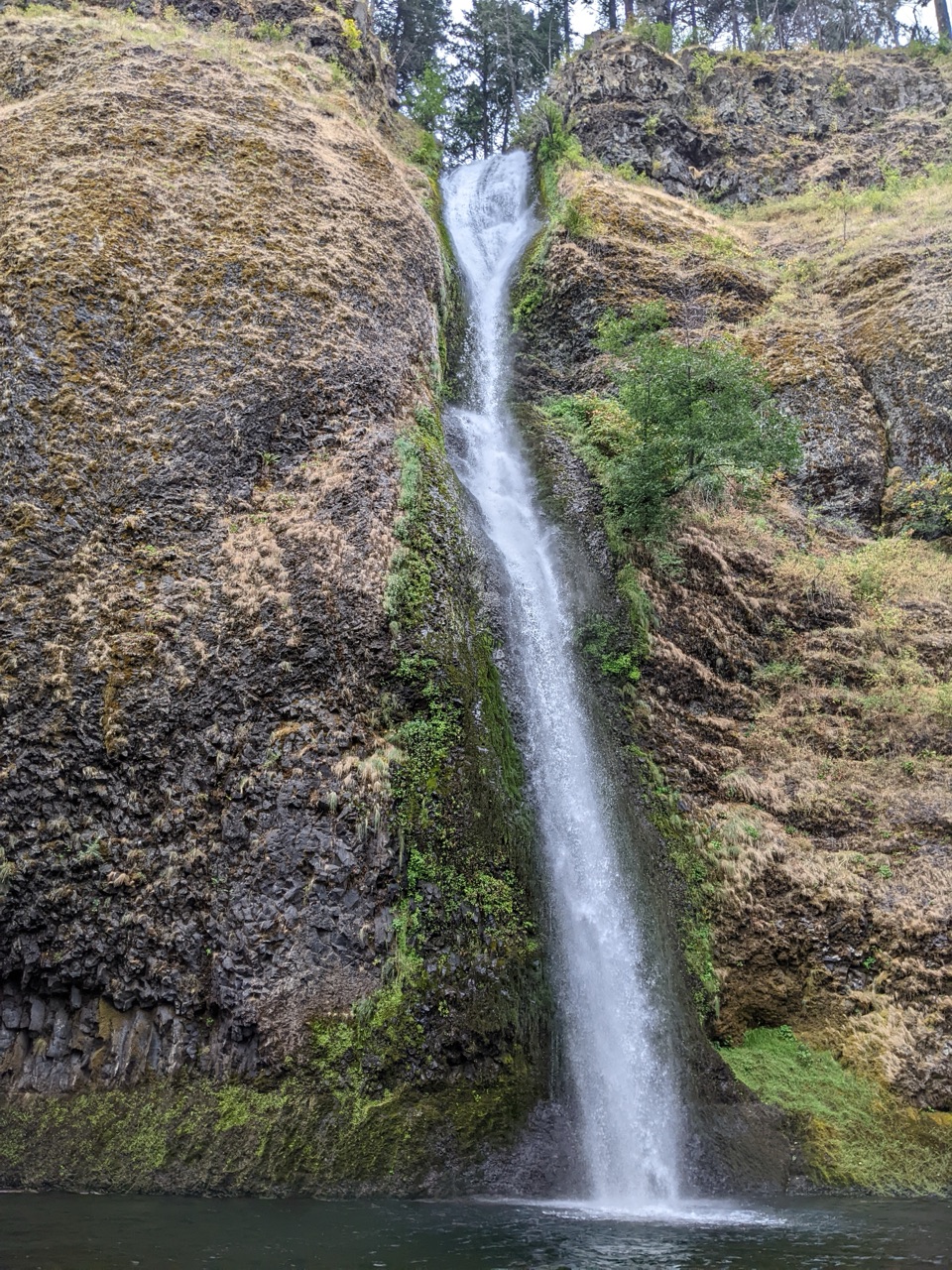 ModerateHorsetail Falls Loop2.5 mi · 1.8 hr · 1.7 mi awayWalk behind Ponytail Falls, then follow Oneonta Creek back.
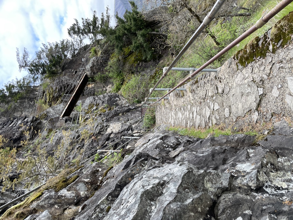 ModerateBeacon Rock Trail1.8 mi · 1.5 hr · 1.9 mi awayFifty switchbacks turn a short climb into a Gorge overlook.ModerateOneonta Trail to Triple Falls3.5 mi · 2.8 hr · 2.1 mi awayThree falls reward a rocky, exposed climb above Oneonta Creek.ChallengingOneonta Trail #4248.2 mi · 7.5 hr · 2.1 mi awayWaterfalls first, then a steep climb all the way to Larch Mountain.
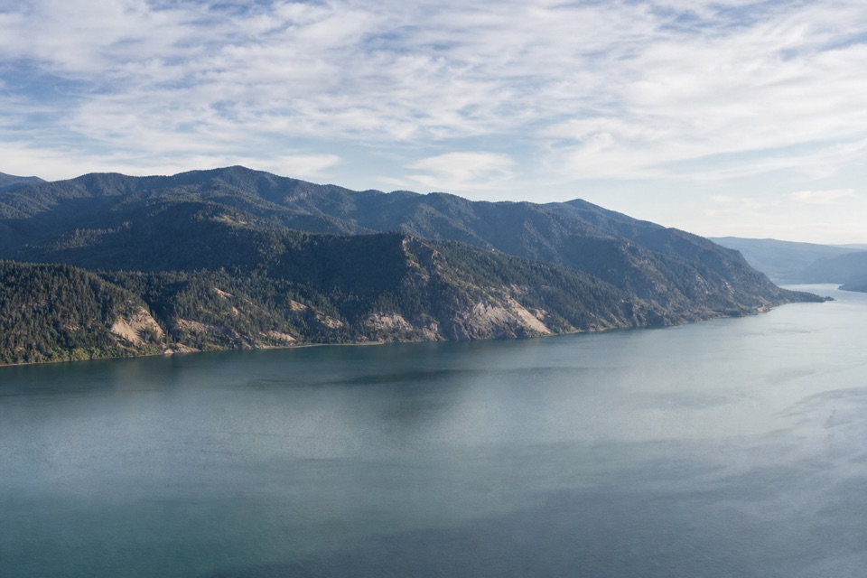 ChallengingHorsetail Creek Trail (#425)8.6 mi · 7.5 hr · 2.1 mi awayAn 8.6-mile one-way climb from Oneonta to Nesmith Point Road.
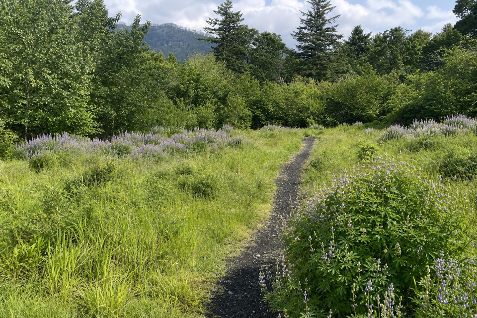 Picnic area · At the trailheadSams Walker Day Use AreaFlat loops link former fields, oak woods and river overlooks.
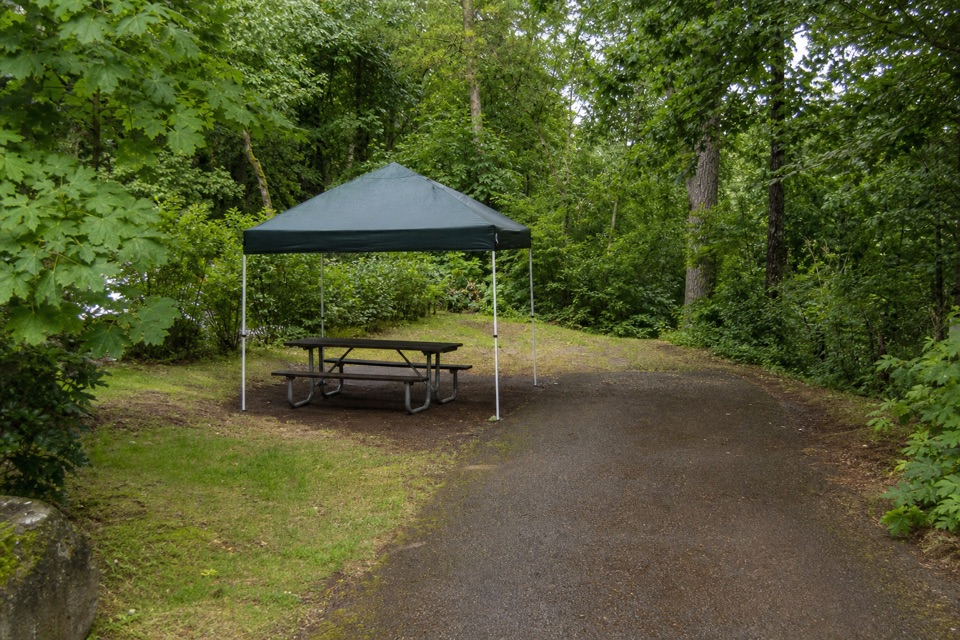 Campground · 1.1 mi awayAinsworth State Park CampgroundA wooded base close to Waterfall Corridor hikes.
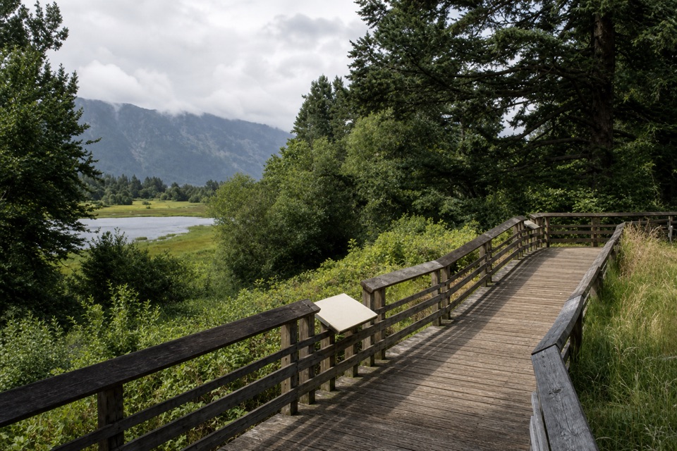 Sight · 1.4 mi awayFranz Lake ViewpointA roadside view into a rare lower Columbia marsh.
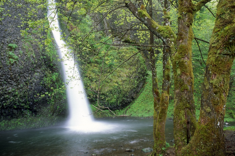 Sight · 1.7 mi awayHorsetail FallsA basalt cascade you can see without hiking uphill.
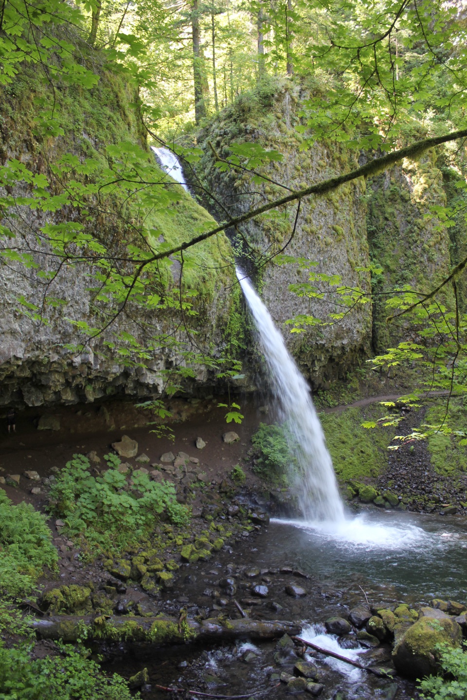 Sight · 1.8 mi awayPonytail FallsWalk behind an 88-foot waterfall through its basalt alcove.
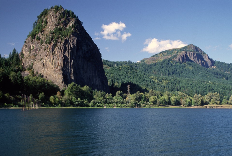 Sight · 1.9 mi awayBeacon RockA basalt landmark with a switchback trail above the Columbia.
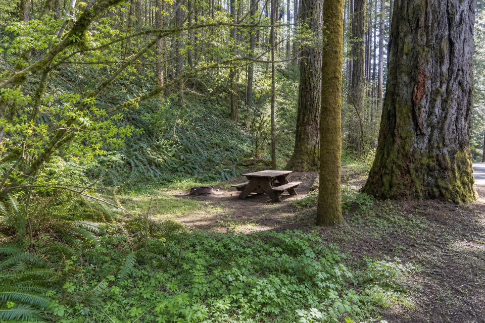 Campground · 2.1 mi awayBeacon Rock State Park CampgroundOld CCC tent loop with Hamilton Mountain trails from your site
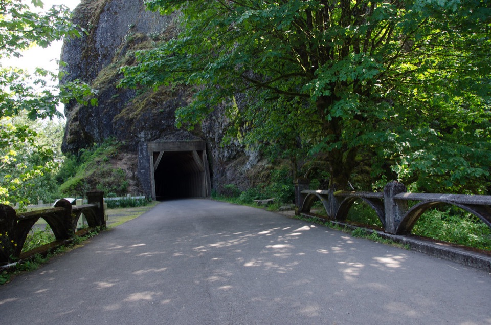 Sight · 2.5 mi awayOneonta GorgeA lichen-lined slot canyon, still closed after the 2017 fire.
Parkwolf’s Columbia River Gorge ranking

The audio tour guide for the drive, plus offline maps, trails, and wildlife heatmaps for when the signal drops.





