Parking
Use the marked west trailhead parking off Badger Clark Road. The east end has marked trailhead parking by Airport Road and Wildlife Loop Road. Leave a vehicle at the finish or arrange a shuttle.
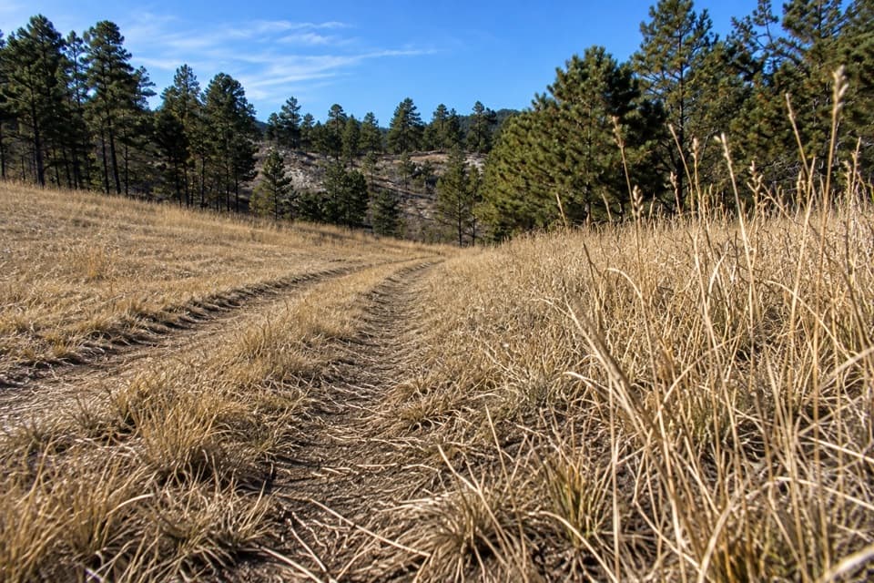
Custer State Park, SD
A 4.9-mile one-way walk through Dry Creek backcountry.
Overview
Map & elevation
Plan your hike

The highest, rockiest slopes around here are a summer buffet for grizzly bears.
Custer Tour Guide
Parkwolf is a GPS audio tour guide for Custer State Park. As you drive, it chimes in with what’s ahead: hidden gems, upcoming stops, history, geology, and wildlife, right through your car’s speakers.
Recorded for this trailhead
Barnes Canyon: A One-Way Backcountry Walk“You're coming up on the Barnes Canyon trailhead, where an old two-track follows seasonal Dry Creek through woods and open country.”
Plays as you drive up to this trailhead in the Parkwolf Custer Tour Guide.
More stories near here in the app
“We recently toured Badlands, Custer State Park, Mount Rushmore and more! We learned so much from this app as we toured each of these sites. The audio tours are worth the money.”


Trail guide
Barnes Canyon Trail is a 4.9-mile point-to-point walk from Badger Clark Road east to the Airport Road/Wildlife Loop Road side of the park. It follows an old backcountry corridor along seasonal Dry Creek, through a mix of woods and open ground. The park rates it moderate and estimates four to five hours; leave room for wildlife stops and the full one-way distance.
This isn't a loop. The park map marks trailhead parking at both ends, so arrange a shuttle or leave a vehicle at the finish. Walking back makes it about 9.8 miles before any extra access walking. I'd start at Badger Clark Road and head east: a hiker's account describes more lookouts and an easier feel on that side, though the park rates the whole trail moderate.
Expect a broad old-road two-track rather than a narrow footpath, with wooded and open stretches. Dry Creek's flow is seasonal. One walk report mentions a small stream near mile two, but don't count on it for water. I didn't find a documented toilet, water source or food stop along the route, so bring what you'll need from the start.
The canyon takes its name from a 19th-century homestead once tucked inside it. Homesteaders, loggers and miners used these historic routes; during the late-1800s Black Hills mining boom, prospectors also looked for mica and feldspar in the canyon walls. The sources describe that history, but don't identify mine workings as a visitor stop.
The park calls the canyon a preferred bison corridor and notes sheltered wallows on the canyon floor. Keep an eye out for bison, elk, deer and bighorn sheep, but treat sightings as a possibility, not a promise. Stay at least 100 yards from bison and other wild animals. Pets are allowed on a leash no longer than 10 feet.
Wildlife
 993 sightingsBisonMost seen around 7 AMSighting map
 91 sightingsWapitiMost seen around 6 AMSighting map
 258 sightingsBighorn SheepMost seen around 7 AMSighting map
 85 sightingsMountain GoatMost seen around 7 AMSighting map
 256 sightingsBurroMost seen around 6 PMSighting map
 707 sightingsPronghornMost seen around 6 AMSighting map
Sighting maps show where each species has been reported across Custer. Wildlife moves, so no sighting is guaranteed.
Keep exploring
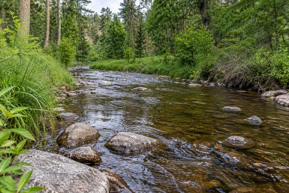 ModerateCalkins Draw Trail4.4 mi · 2.8 hr · At the trailheadA backcountry trail from Barnes Canyon down to French Creek.
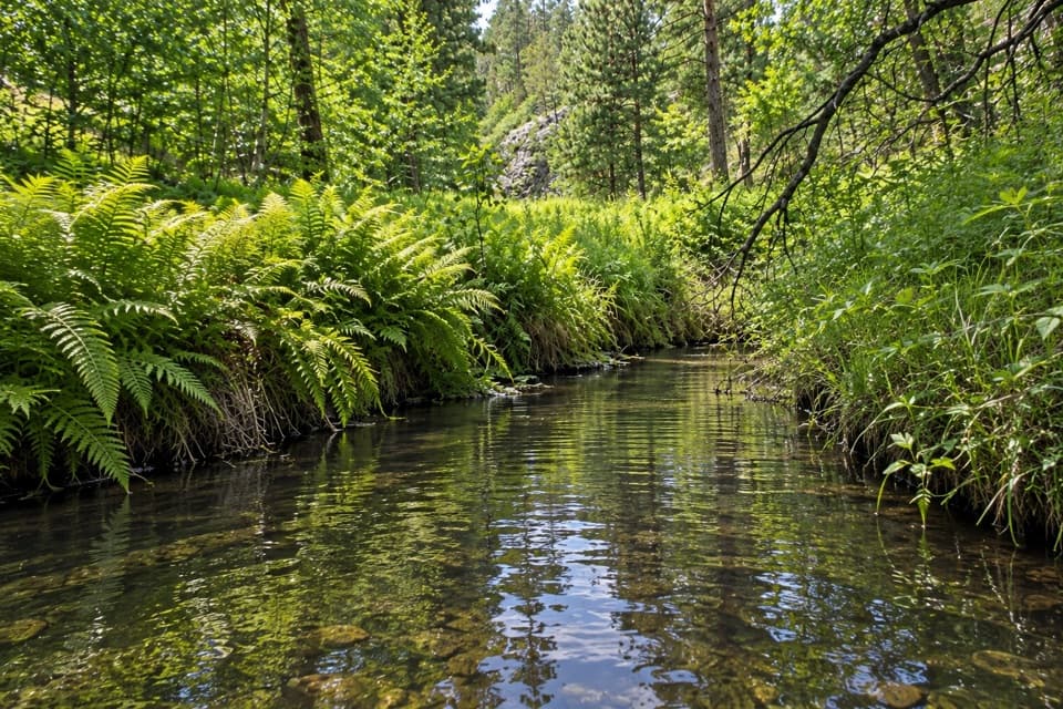 ModerateGalena Trail6.4 mi · 2.5 hr · 0.5 mi awayA 6.4-mile out-and-back on a marked, shared-use Custer trail.
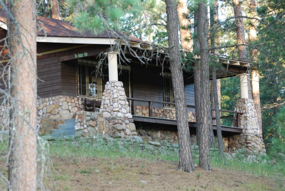 EasyBadger Clark Trail0.6 mi · 45 min · 1.3 mi awayRock-lined tread, poetry signs, and a loop beside Badger Hole.
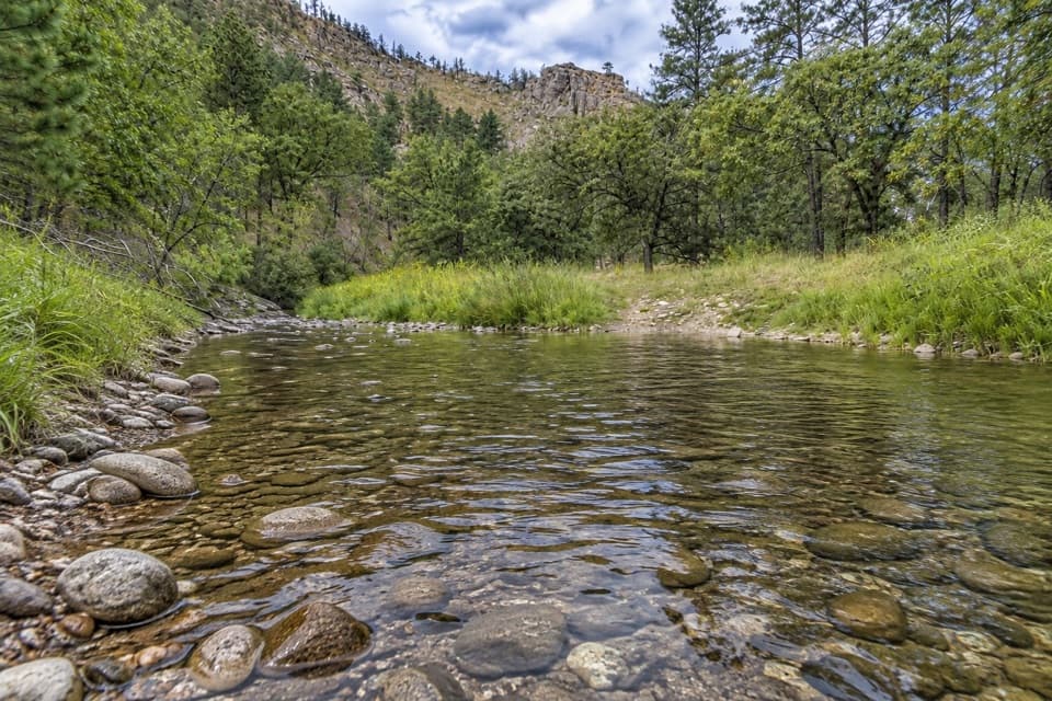 ModerateFrench Creek via Centennial Trail8 mi · 4.5 hr · 1.3 mi awayA steep Centennial descent to rocky, crossing-filled French Creek.
 ModerateSaw Mill Trail2.2 mi · 1.3 hr · 1.5 mi awayA forested ridge traverse links two mapped Saw Mill sections.
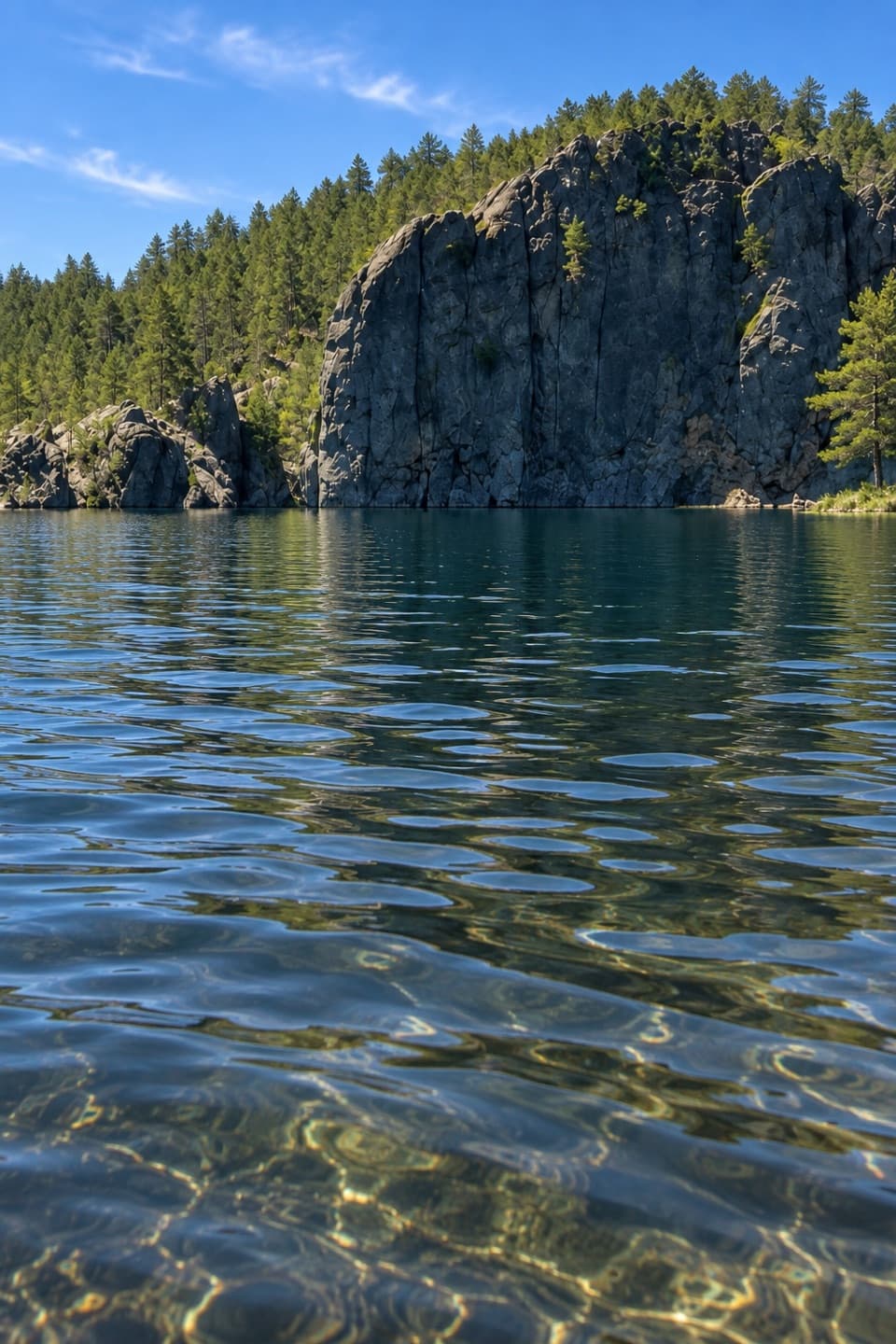 EasyLegion Lakeshore Trail0.7 mi · 30 min · 1.8 mi awayAn easy lakeside loop beneath granite cliffs and pines.
 EasyHeddy Lookout Trail0.8 mi · 30 min · 1.9 mi awayA short wooded walk to a covered overlook above Heddy Draw
 ModerateHeddy Draw Horse Trail7.1 mi · 4 hr · 1.9 mi awaySteep Black Hills horse trail with a long descent into Heddy Draw.Sight · 1.3 mi awayBadger Hole Historic SiteA poet’s furnished cabin with a short, story-filled woodland loop.
 Sight · 1.6 mi awayLegion LakeBeach, paddling and an easy shoreline loop in one stop.
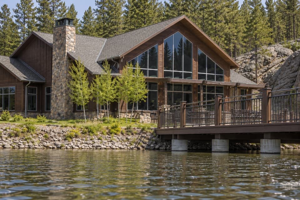 Lodging · 1.7 mi awayLegion Lake LodgeCabins, lakeside dining and boat rentals share one stop.
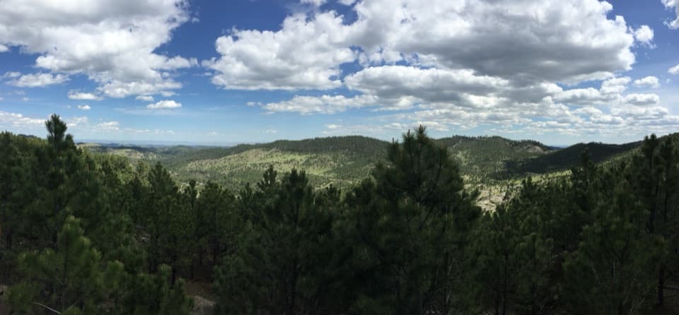 Scenic pullout · 1.8 mi awayHeddy Draw OverlookA short walk to a covered shelter and broad Black Hills views.
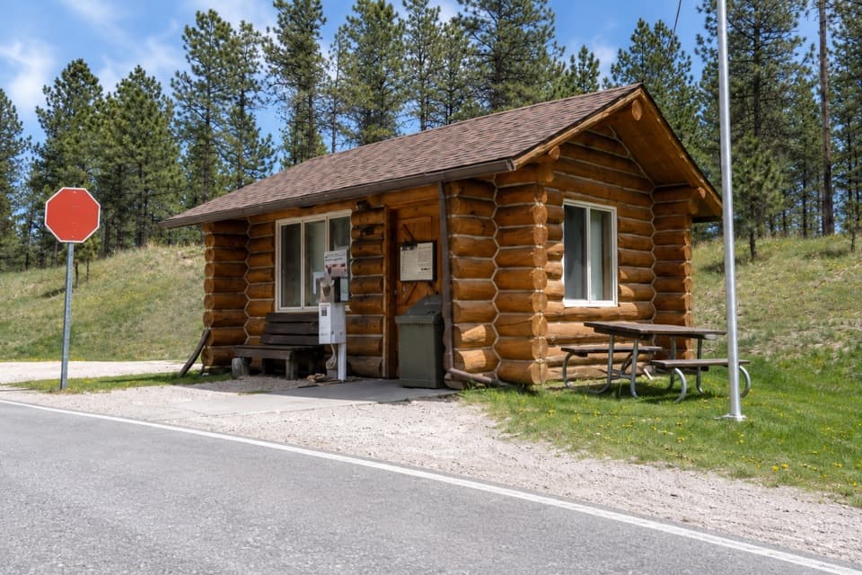 Entrance station · 1.8 mi awayWilson’s Corner Entrance StationA quick checkpoint before the Needles Highway’s granite spires and tunnels.
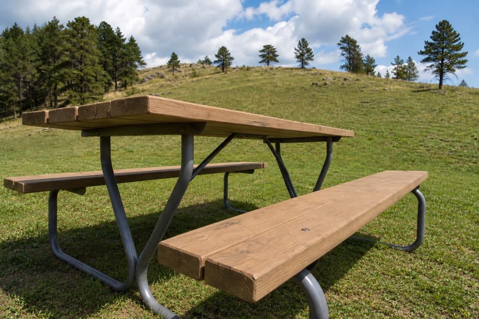 Campground · 1.9 mi awayLegion Lake CampgroundCamp in the trees, with the lake and lodge across US 16A.
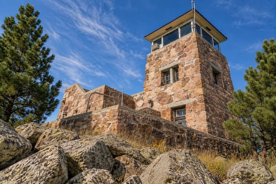 Sight · 2.2 mi awayMount Coolidge Fire TowerClear-day views reach Rushmore, Crazy Horse and the Needles.
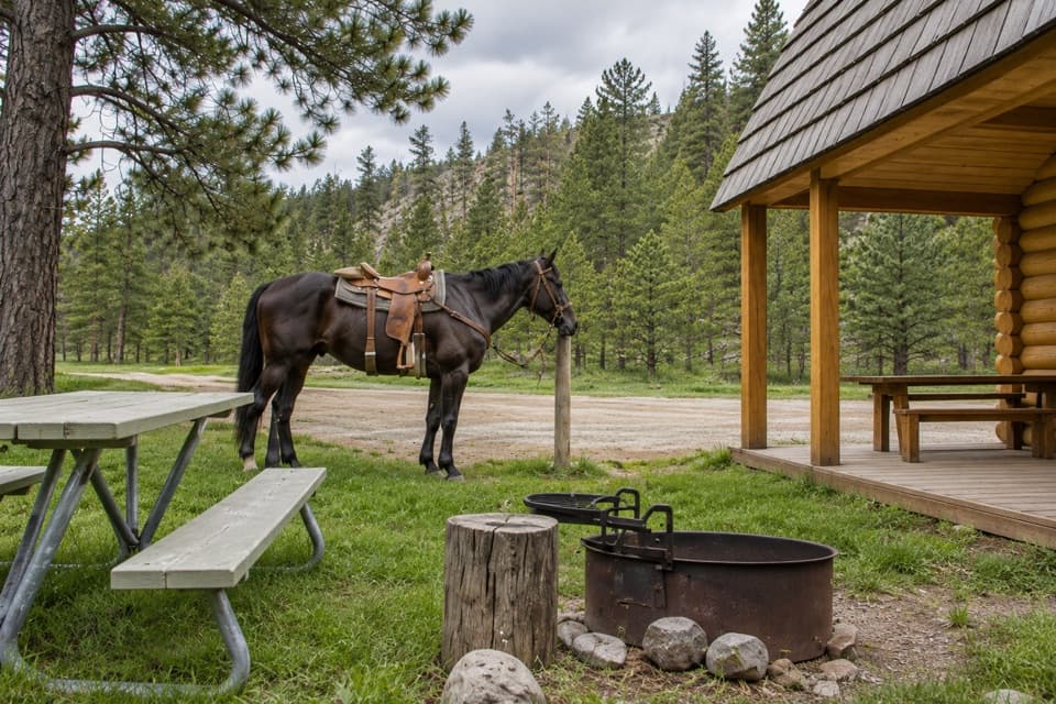 Campground · 2.4 mi awayFrench Creek Horse CampA creek-side base camp with two corrals at every site.
Parkwolf’s Custer ranking

The audio tour guide for the drive, plus offline maps, trails, and wildlife heatmaps for when the signal drops.





