Calkins Draw Trail in Custer State Park

Custer State Park, SD

Calkins Draw Trail

A backcountry trail from Barnes Canyon down to French Creek.

Length
4.4mi
Time
2.8hr
Elev. change
620ft
Difficulty
Moderate
  • Dogs allowed
  • High point 5,016 ft

Hear the audio tour

Barnes Canyon: A One-Way Backcountry Walk

Overview

About Calkins Draw Trail

Why go

  • A direct walk from the Barnes Canyon side into the French Creek drainage.

Heads up

  • The creek-end turnaround leaves a climbing return; the route is not a loop.

Map & elevation

The route

Loading the Custer map
Full map
Elevation4,396–5,016 ft
TrailheadBarnes Canyon Trail - West Trailhead43.74627, -103.43660
Keep this map with you offline in the Parkwolf app

Plan your hike

Before you go

Parking

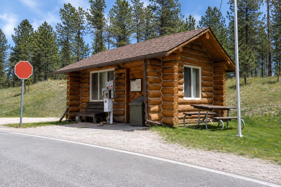
Use Barnes Canyon Trail - West Trailhead near Badger Clark Road. The Calkins Draw segment begins nearby; follow the mapped branch and allow a little extra for the approach. Retrace the route from French Creek unless you have arranged a pickup.


Safety

The return from French Creek climbs back out of the draw. Horses share the route; pets must be leashed no longer than 10 feet.

A park ranger sits on a dash-mounted phone, talking, as Parkwolf’s Tour Guide plays “Army Cutworm Moths: A Grizzly Bear Buffet” on Grand Loop Road below Dunraven Pass in Yellowstone
Parkwolf Tour GuideThe highest, rockiest slopes around here are a summer buffet for grizzly bears.

Custer Tour Guide

Your drive to Calkins Draw Trail, narrated.

Parkwolf is a GPS audio tour guide for Custer State Park. As you drive, it chimes in with what’s ahead: hidden gems, upcoming stops, history, geology, and wildlife, right through your car’s speakers.

Recorded for this trailhead

Barnes Canyon: A One-Way Backcountry Walk
0:00 / 0:23
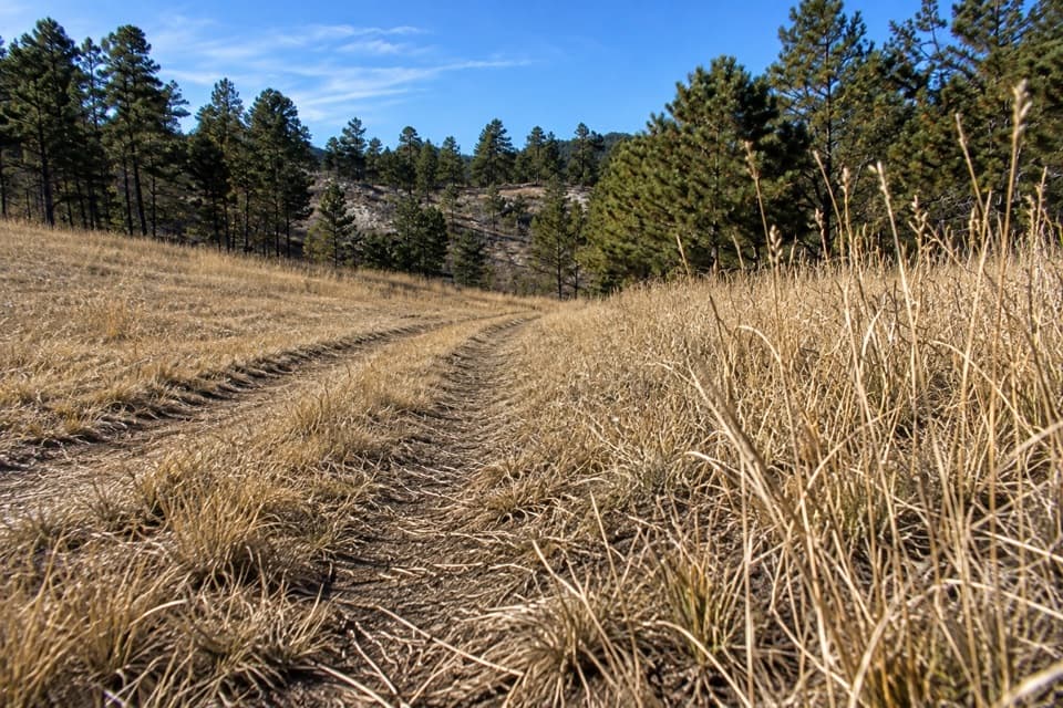
“You're coming up on the Barnes Canyon trailhead, where an old two-track follows seasonal Dry Creek through woods and open country.”

Plays as you drive up to this trailhead in the Parkwolf Custer Tour Guide.

More stories near here in the app

  • Galena Trail: A Longer Shared-Use Walk
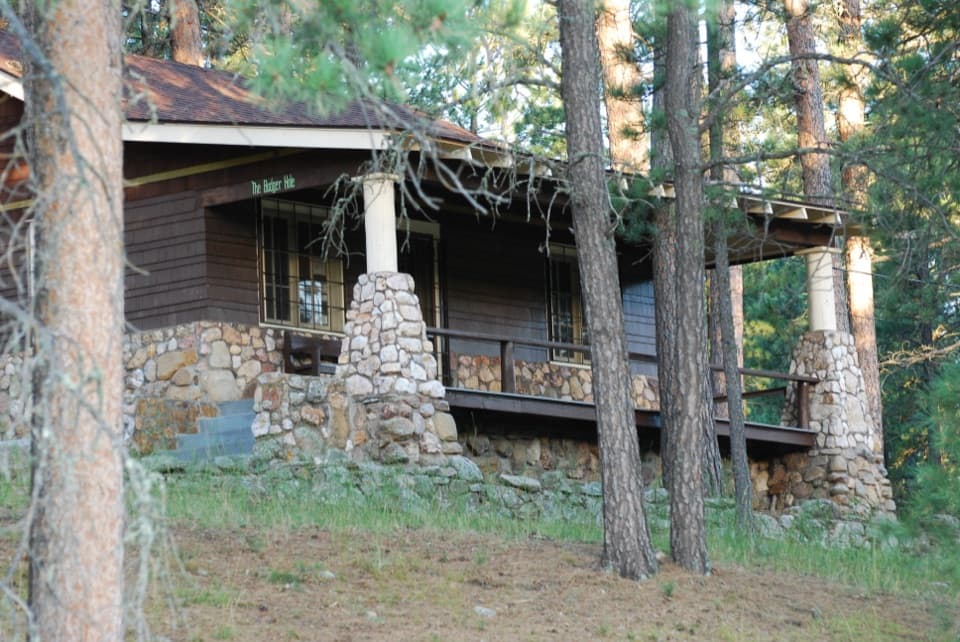
  • Badger Hole: The Poet’s Cabin
  • Why Turtles Share a Sunny Log
  • Legion Lake: A Short Walk and Lakeside Lunch
  • 82 audio storiesacross Custer’s roads, triggered by GPS as you drive
  • Wildlife heatmapsfor Bison, Wapiti, Bighorn Sheep, and 13 more
  • Works offlinemaps, 40 trails, 49 places, and audio download before you lose signal
  • CarPlay readysimple controls built for the drive
★★★★★
“We recently toured Badlands, Custer State Park, Mount Rushmore and more! We learned so much from this app as we toured each of these sites. The audio tours are worth the money.”
milesdavis11App Store review
Download Parkwolf on the App StoreGet Parkwolf on Google Play

4.7 from 8,600+ ratings

Trail guide

Hiking Calkins Draw Trail

The routeCalkins Draw is a 4.

Calkins Draw is a 4.4-mile out-and-back along the named corridor between the Barnes Canyon side and French Creek, about 2.2 miles each way. Allow 2.5 to 3 hours, plus a little time for the approach from the marked trailhead: the mapped line begins nearby, not at the parking pin. This is a natural-ground backcountry walk through a draw, not a summit route.

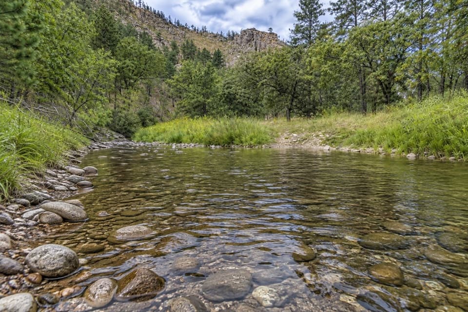
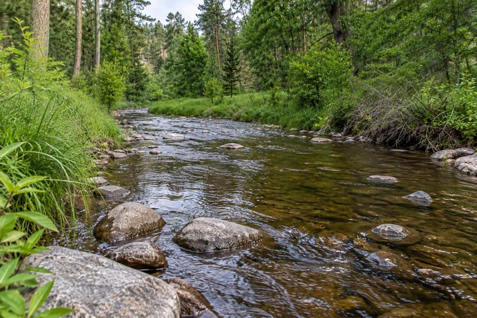
From Barnes Canyon to French CreekFollow the Calkins Draw branch down to its French Creek end.

Follow the Calkins Draw branch down to its French Creek end. Park directions describe a sign at the creek, where the path climbs out of the canyon and meets an old logging road. From Barnes Canyon, that climb is the return: turn around at the creek and retrace the same corridor.

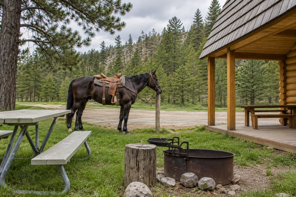
Surface and shared useThe park maps this as a shared hiking-and-horse trail.

The park maps this as a shared hiking-and-horse trail. The surface is mostly soft natural ground, and the return climb is the main effort, at roughly 650 feet. Pets are allowed, but must stay on a leash no longer than 10 feet.

Wildlife

Wildlife in Custer

All Custer wildlife maps

Sighting maps show where each species has been reported across Custer. Wildlife moves, so no sighting is guaranteed.

Keep exploring

Near Calkins Draw Trail

See it all on the map

Trails that start nearby

Places near the trailhead

Parkwolf’s Custer ranking

Top-rated trails in Custer

All 40 trails
  1. 1Black Elk Peak Trail #9 SouthChallenging · 6.6 mi
  2. 2Cathedral Spires TrailChallenging · 1.2 mi
  3. 3Sunday Gulch TrailChallenging · 3 mi
  4. 4Little Devils Tower TrailChallenging · 3 mi
  5. 5Sylvan Lake Shore TrailModerate · 1 mi
  6. 6Black Elk Peak LoopChallenging · 7.1 mi

Take Parkwolf to Custer.

The audio tour guide for the drive, plus offline maps, trails, and wildlife heatmaps for when the signal drops.

4.7 from 8,600+ ratings

Download Parkwolf on the App StoreGet Parkwolf on Google Play