Parking
Use the marked parking area at Fisherman Flats Trailhead, at the end of unpaved Fisherman Flats Road (CSP 2). The map shows parking, but its capacity is not documented.
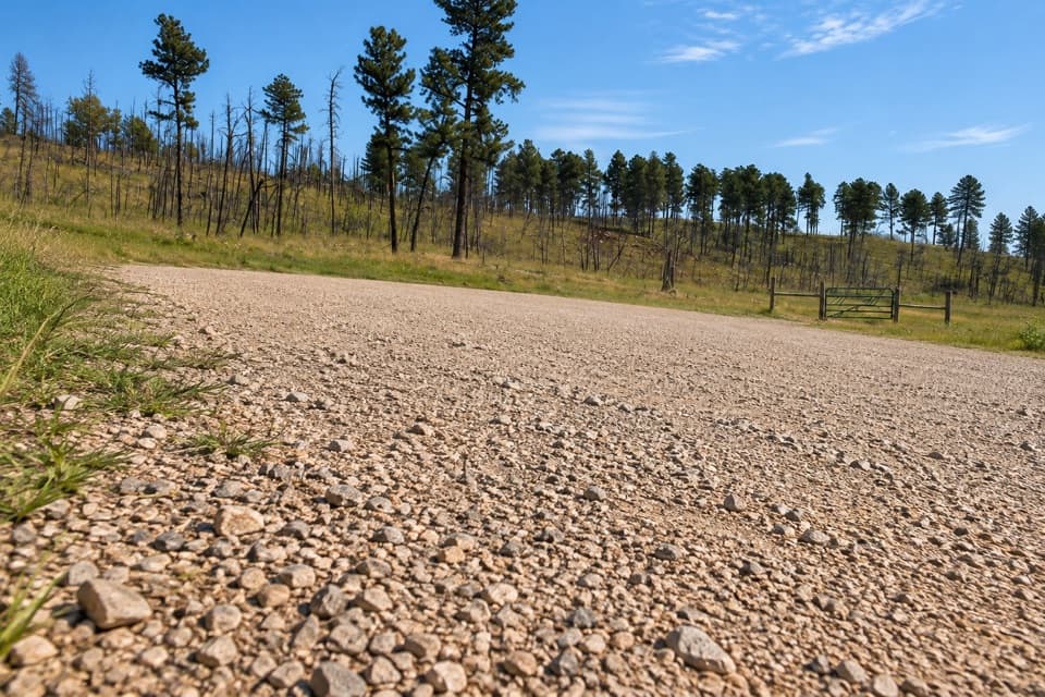
Custer State Park, SD
A short, steep drop to a rocky perch above French Creek.
Overview
Map & elevation
Plan your hike

The highest, rockiest slopes around here are a summer buffet for grizzly bears.
Custer Tour Guide
Parkwolf is a GPS audio tour guide for Custer State Park. As you drive, it chimes in with what’s ahead: hidden gems, upcoming stops, history, geology, and wildlife, right through your car’s speakers.
Recorded for this trailhead
Fisherman Flats: A Short, Steep Creek Walk“Fisherman Flats Trailhead is coming up, with a short but steep walk down toward French Creek. Choose this if you'd like to sit on a rock outcrop above the water and don't mind climbing back up.”
Plays as you drive up to this trailhead in the Parkwolf Custer Tour Guide.
More stories near here in the app
“We recently toured Badlands, Custer State Park, Mount Rushmore and more! We learned so much from this app as we toured each of these sites. The audio tours are worth the money.”


Trail guide
Fisherman Flats Trail is a shared hiking-and-horse path from its dedicated trailhead down toward French Creek, ending near a rock outcrop above the water. The park map marks the downhill segment at 0.6 mile; returning the same way makes this about 1.2 miles round trip. Other published out-and-back totals range from about 1 to 1.25 miles, so treat the distance as approximate. Allow 45 minutes to an hour for the steep return and a look at the creek.
The short path drops over a somewhat steep, rocky grade. The creek-side rock outcrop is the payoff; one route account describes getting wet feet when it tried to cross French Creek. The mapped line ends short of a confirmed connection to the longer French Creek Trail. Treat Fisherman Flats as an out-and-back and do not count on a dry crossing or through-route.
Start at Fisherman Flats Trailhead, at the end of unpaved Fisherman Flats Road (CSP 2); the park map marks parking there, though capacity is not documented. Horses also use this trail, so yield to stock. Dogs may come on a leash no longer than 10 feet. Food, drinking water and toilets at this access were not confirmed.
Wildlife
 993 sightingsBisonMost seen around 7 AMSighting map
 91 sightingsWapitiMost seen around 6 AMSighting map
 258 sightingsBighorn SheepMost seen around 7 AMSighting map
 85 sightingsMountain GoatMost seen around 7 AMSighting map
 256 sightingsBurroMost seen around 6 PMSighting map
 707 sightingsPronghornMost seen around 6 AMSighting map
Sighting maps show where each species has been reported across Custer. Wildlife moves, so no sighting is guaranteed.
Keep exploring
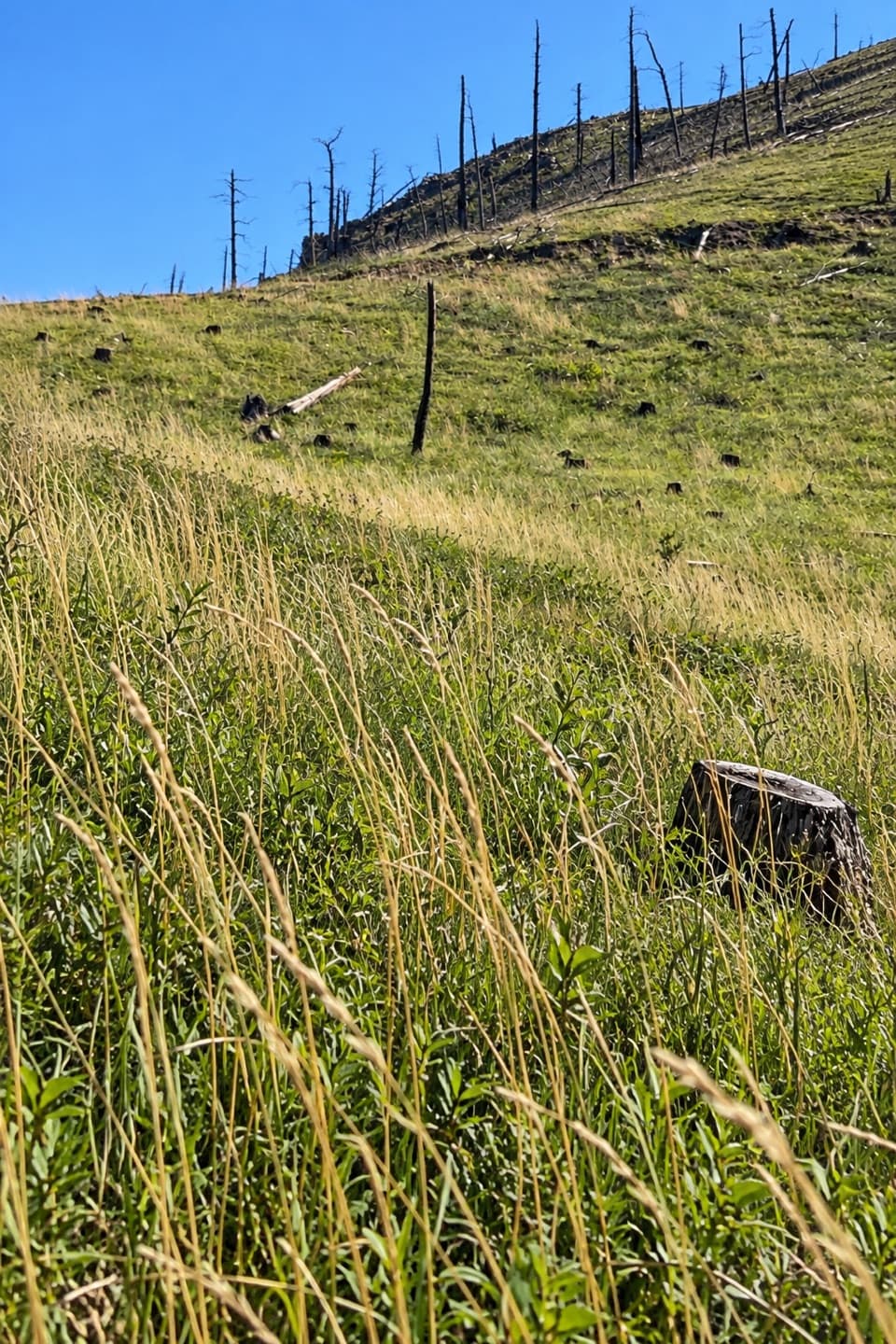 ModerateRimrock Trail3.1 mi · 2 hr · 0.2 mi awayA 3.1-mile one-way multi-use route on French Creek’s south rim.
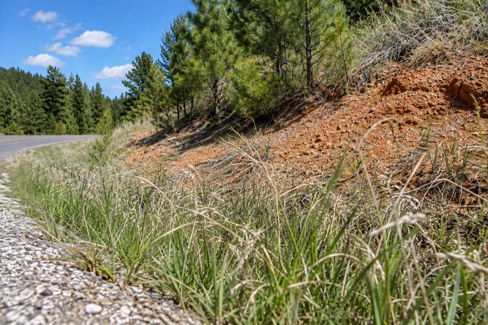 EasyDevil Dog Trail0.2 mi · 18 min · 2.8 mi awayA short stair climb opens onto prairie and a wide view.
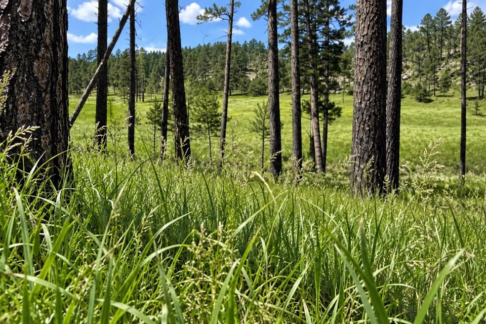 Easy2 Hour Trail Loop2.1 mi · 1.5 hr · 2.9 mi awayA compact circuit tucked among the French Creek routes.
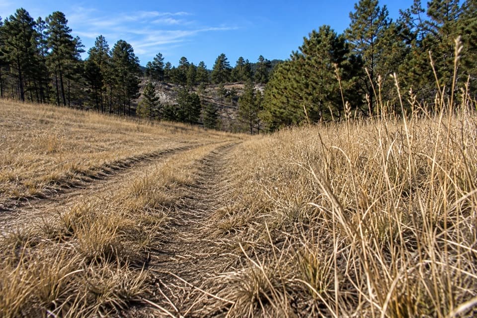 ModerateBarnes Canyon Trail4.9 mi · 4.5 hr · 3.1 mi awayA 4.9-mile one-way walk through Dry Creek backcountry.
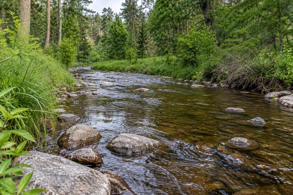 ModerateCalkins Draw Trail4.4 mi · 2.8 hr · 3.1 mi awayA backcountry trail from Barnes Canyon down to French Creek.
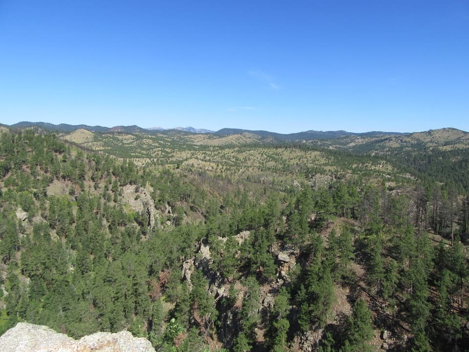 ModerateLovers Leap Trail4 mi · 3 hr · 3.6 mi awayA steep ridge, a rocky perch, then Galena Creek crossings.
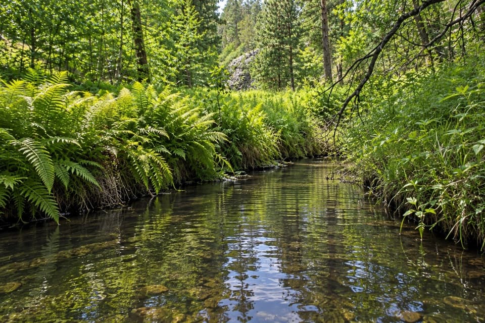 ModerateGalena Trail6.4 mi · 2.5 hr · 3.6 mi awayA 6.4-mile out-and-back on a marked, shared-use Custer trail.
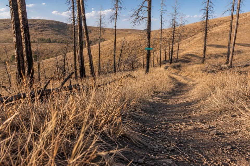 EasyRobber's Roost Trail1.6 mi · 1 hr · 3.8 mi awayA short fire-road walk through open hills and scorched pines.
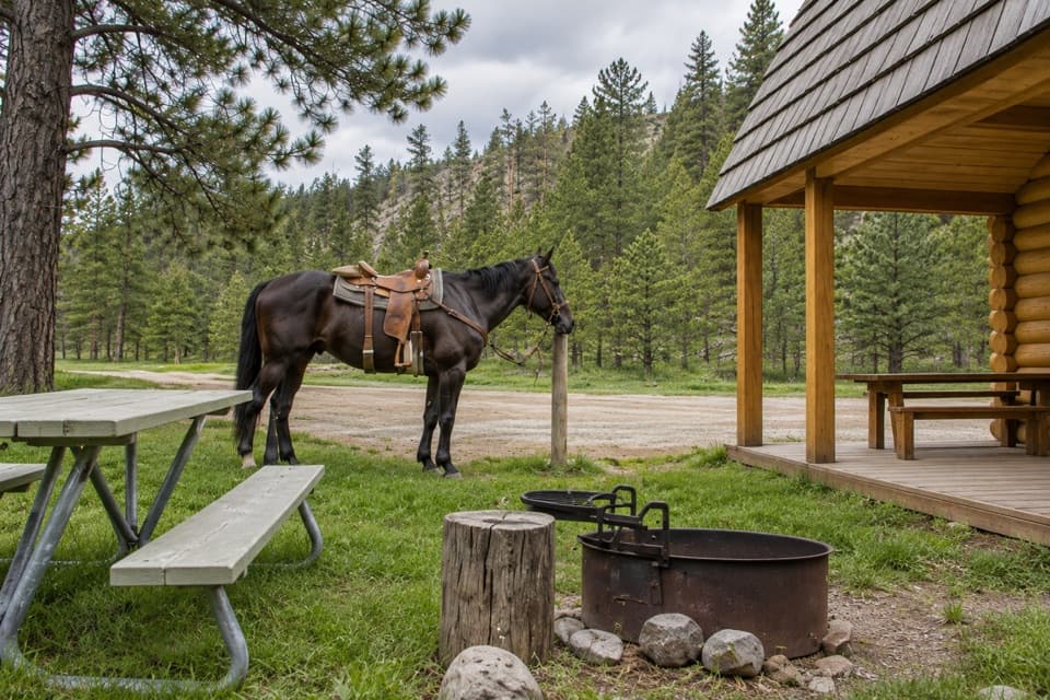 Campground · 3.1 mi awayFrench Creek Horse CampA creek-side base camp with two corrals at every site.
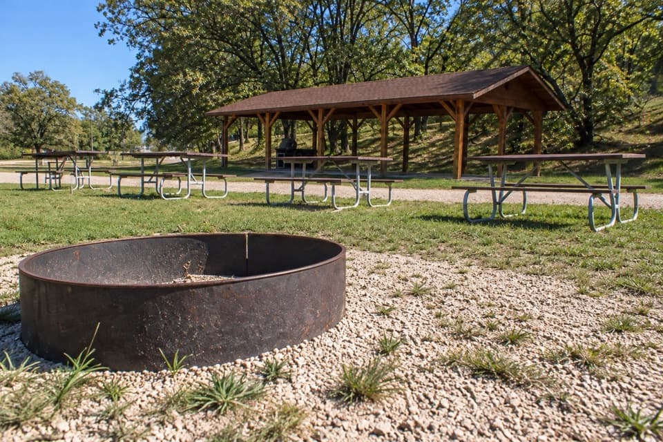 Campground · 3.4 mi awayCalvin Coolidge Group AreaFive electric sites share a shelter and central fire ring.
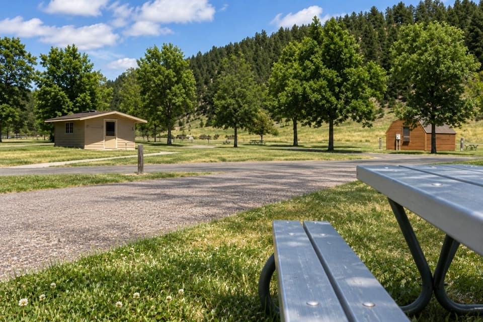 Campground · 3.5 mi awayGame Lodge CampgroundA central base near Wildlife Loop Road and State Game Lodge.
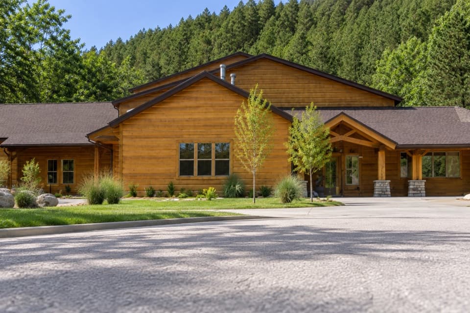 Lodging · 3.5 mi awayCreekside LodgeRoomy suites and a paved creekside trail, right in the park.
 Visitor center · 3.5 mi awayWildlife Station Visitor CenterA herdsman's house brings the prairie story onto the Wildlife Loop.
 Picnic area · 3.5 mi awayEllerton Picnic AreaA shaded picnic stop beside Wildlife Loop Road's visitor-center junction.
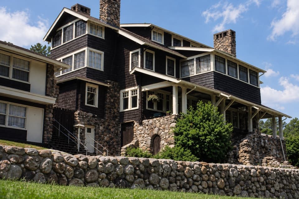 Lodging · 3.6 mi awayState Game LodgeA Summer White House still working as a lodge and restaurant.
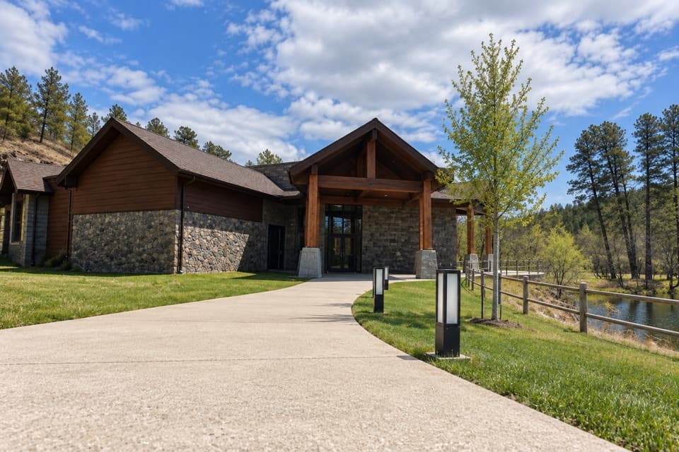 Visitor center · 3.6 mi awayCuster State Park Visitor CenterGet oriented before the wildlife drive; ask where bison are moving.
Parkwolf’s Custer ranking

The audio tour guide for the drive, plus offline maps, trails, and wildlife heatmaps for when the signal drops.





