Parking
From the Blue Bell entrance, drive south on State Highway 87 about 1.7 miles. Use the right-side pullout beside the small road marked 25683; formal lot capacity and facilities were not confirmed.
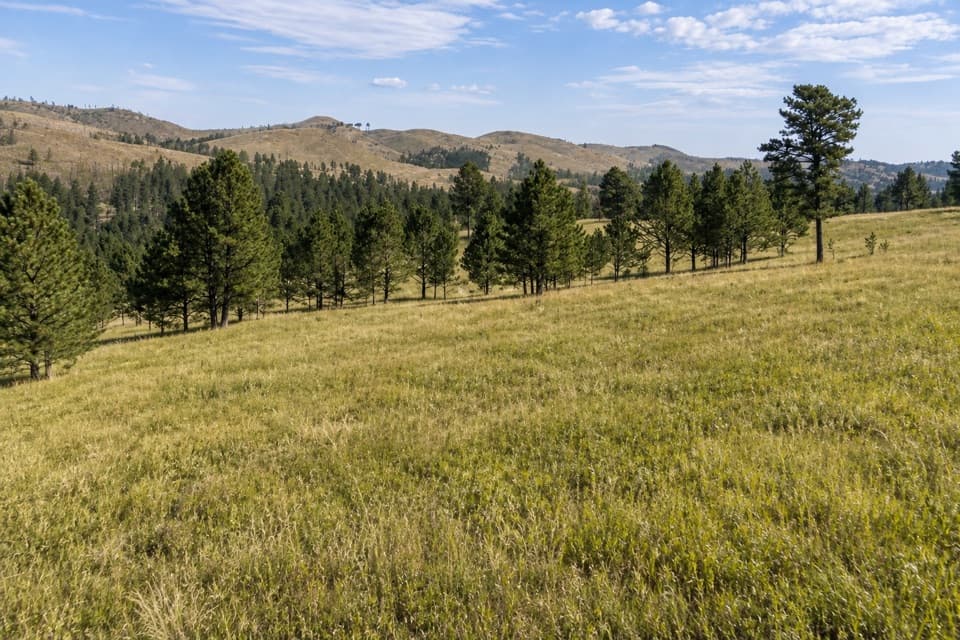
Custer State Park, SD
A moderate loop links Parker Canyon with a meadow and Centennial Trail.
Overview
Map & elevation
Plan your hike

The highest, rockiest slopes around here are a summer buffet for grizzly bears.
Custer Tour Guide
Parkwolf is a GPS audio tour guide for Custer State Park. As you drive, it chimes in with what’s ahead: hidden gems, upcoming stops, history, geology, and wildlife, right through your car’s speakers.
Recorded for this trailhead
Parker Canyon: A Canyon-and-Meadow Loop“Parker Canyon Loop is coming up, starting from a roadside pullout on Highway eighty-seven. Choose this for a walk through the canyon and up into an open meadow, with a return along the Centennial Trail.”
Plays as you drive up to this trailhead in the Parkwolf Custer Tour Guide.
More stories near here in the app
“We recently toured Badlands, Custer State Park, Mount Rushmore and more! We learned so much from this app as we toured each of these sites. The audio tours are worth the money.”


Trail guide
Parker Canyon Loop is a moderate 4.4-mile circuit from a roadside pullout on State Highway 87 south of Blue Bell. The route climbs through Parker Canyon, crosses near the entrance, then returns on the Centennial Trail and a short meadow connector. Published figures put it at about 500 feet of gain and 1.5–2 hours; allow roughly two hours.
The route follows Parker Canyon before climbing toward a large meadow and rejoining the Centennial Trail, a shared multi-use path. The park’s directions describe an east-uphill connection from Highway 87 to the meadow and Centennial Trail. That short connector is not drawn as a distinct OSM way, so use the park’s marked route on the ground rather than treating the stored line as survey-grade.
The loop crosses roads near Blue Bell, including Highway 87 and Wildlife Loop Road. Pause at each crossing and use the marked junctions. Bison roam the park’s open grasslands and are dangerous at close range, especially during spring calving and the late-summer rut; give them plenty of space.
The walking loop’s directions start at a pullout on the right side of Highway 87 about 1.7 miles south of the park entrance, beside a small road marked 25683. A separate park horse itinerary starts at French Creek Horse Camp and takes about four hours on horseback; that is a different approach, not this shorter walking loop. Hiking-specific access details, parking capacity and the dog rule were not confirmed, so check with the park before bringing a pet.
Wildlife
 993 sightingsBisonMost seen around 7 AMSighting map
 91 sightingsWapitiMost seen around 6 AMSighting map
 258 sightingsBighorn SheepMost seen around 7 AMSighting map
 85 sightingsMountain GoatMost seen around 7 AMSighting map
 256 sightingsBurroMost seen around 6 PMSighting map
 707 sightingsPronghornMost seen around 6 AMSighting map
Sighting maps show where each species has been reported across Custer. Wildlife moves, so no sighting is guaranteed.
Keep exploring
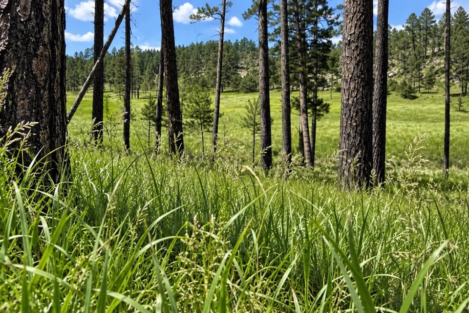 Easy2 Hour Trail Loop2.1 mi · 1.5 hr · 2.4 mi awayA compact circuit tucked among the French Creek routes.
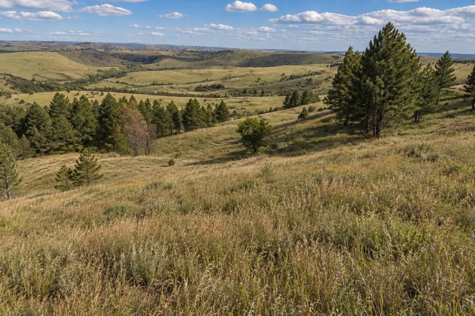 ModeratePrairie Trail2 mi · 2.5 hr · 3.2 mi awayA rolling prairie loop with creek shade and summer wildflowers.
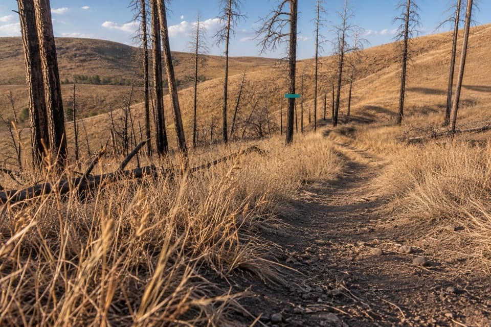 EasyRobber's Roost Trail1.6 mi · 1 hr · 3.4 mi awayA short fire-road walk through open hills and scorched pines.
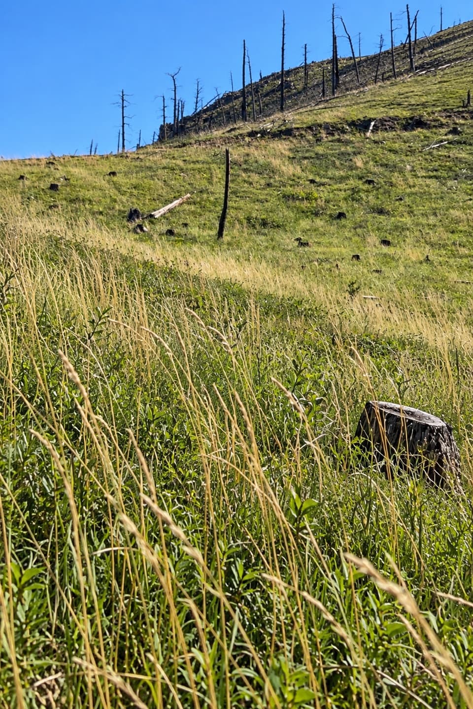 ModerateRimrock Trail3.1 mi · 2 hr · 4.1 mi awayA 3.1-mile one-way multi-use route on French Creek’s south rim.
 ModerateHeddy Draw Horse Trail7.1 mi · 4 hr · 4.2 mi awaySteep Black Hills horse trail with a long descent into Heddy Draw.
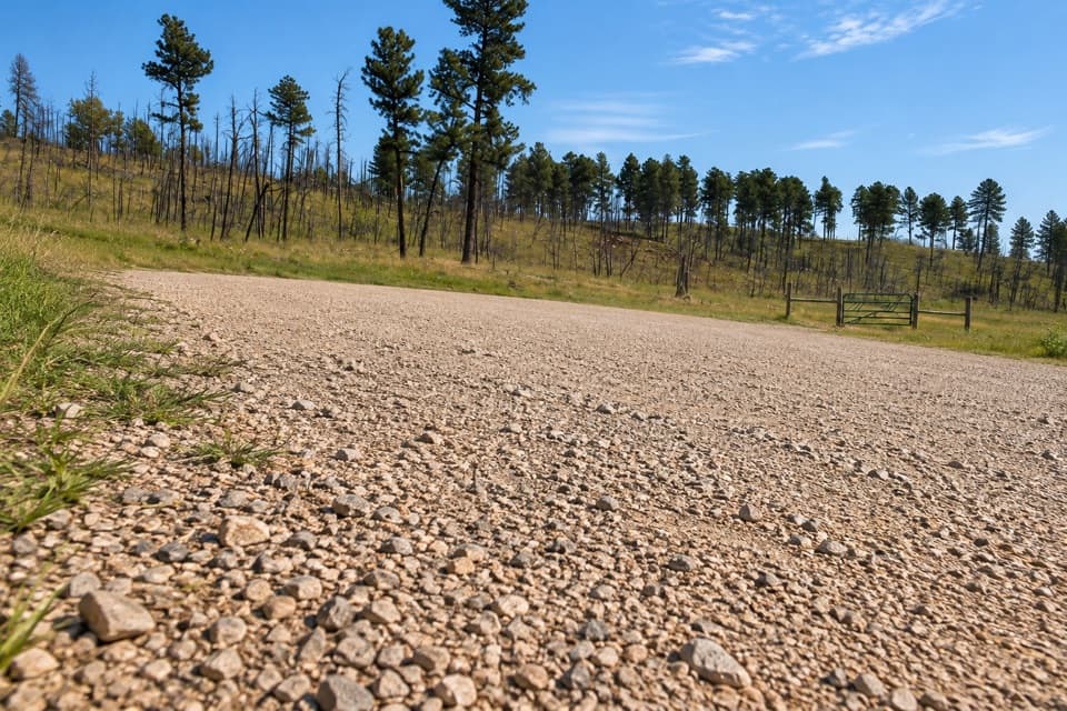 ModerateFisherman Flats Trail1.2 mi · 54 min · 4.2 mi awayA short, steep drop to a rocky perch above French Creek.
 ModerateSaw Mill Trail2.2 mi · 1.3 hr · 4.3 mi awayA forested ridge traverse links two mapped Saw Mill sections.
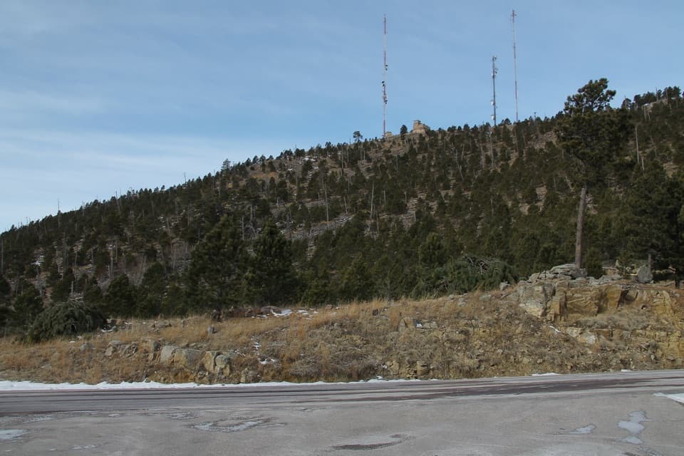 ModerateMount Coolidge Trail3.3 mi · 1.8 hr · 4.4 mi awayClimb the fire tower road for Black Hills views and CCC history.
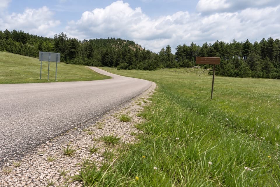 Entrance station · 1.6 mi awayBlue Bell Entrance StationA quick pass checkpoint at the start of Wildlife Loop
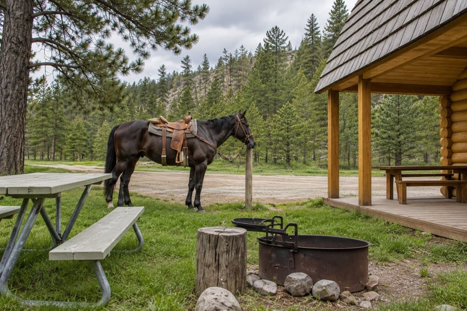 Campground · 2.2 mi awayFrench Creek Horse CampA creek-side base camp with two corrals at every site.
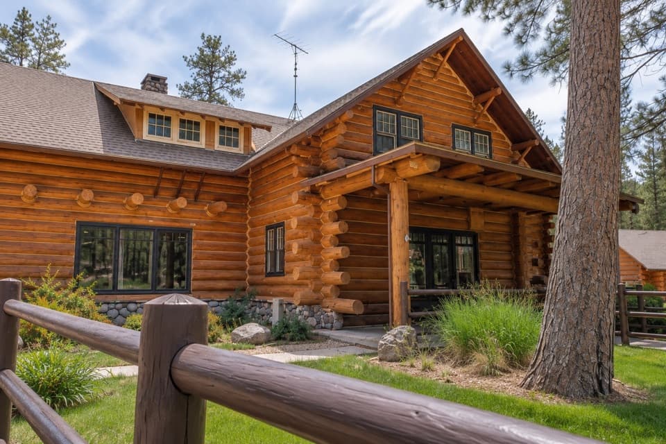 Lodging · 2.4 mi awayBlue Bell LodgeA Black Hills cabin base with a creekside patio and backcountry cookout.
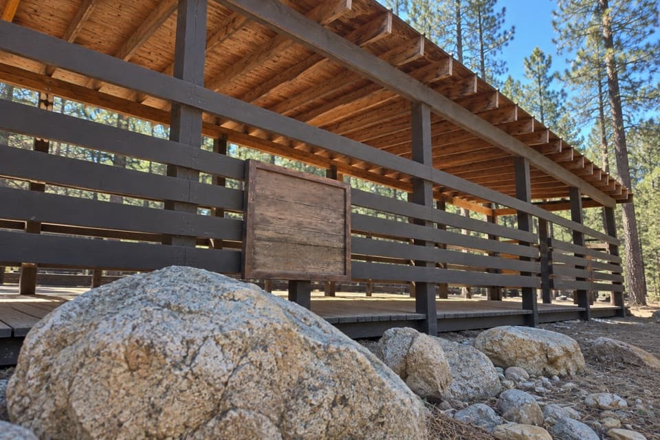 Sight · 2.4 mi awayBlue Bell Lodge StablesA guided horseback ride into French Creek’s pine-lined backcountry.
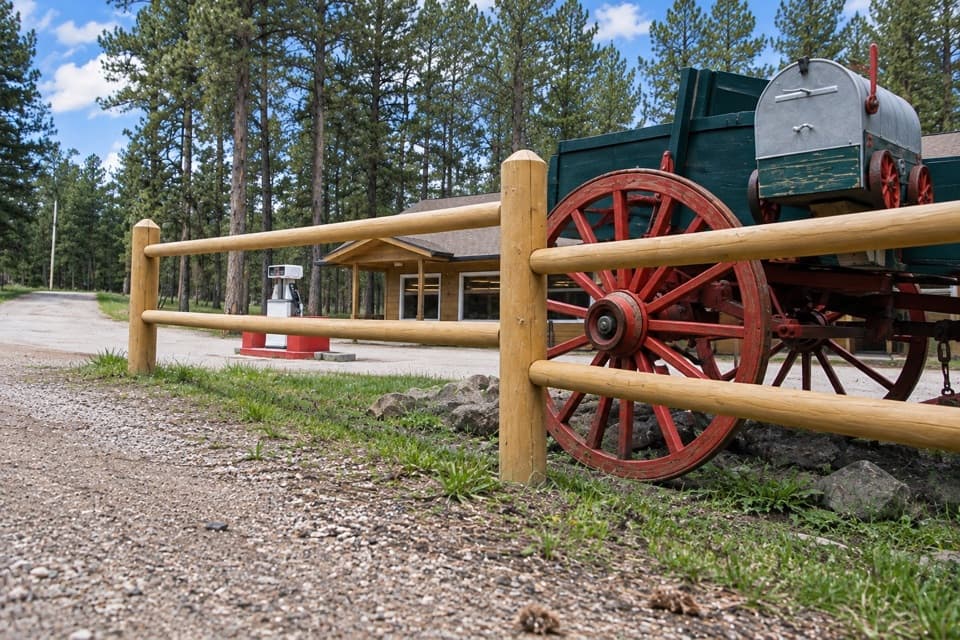 Store · 2.4 mi awayBlue Bell StoreA handy fuel and supply stop along the Wildlife Loop.
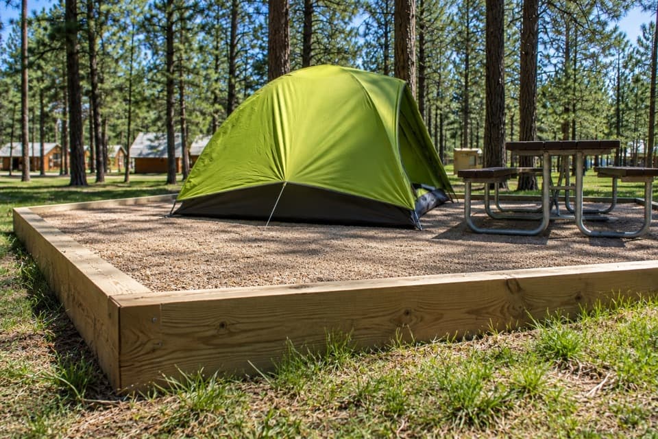 Campground · 2.6 mi awayBlue Bell CampgroundPine shade, tent pads, and cabins beside French Creek.
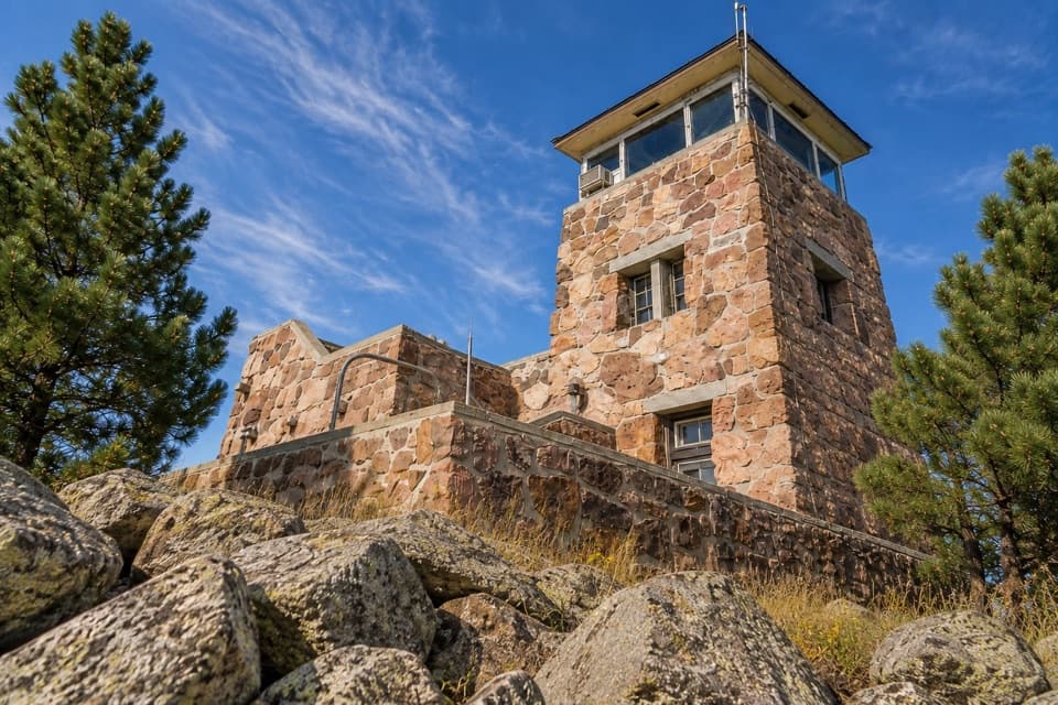 Sight · 4.3 mi awayMount Coolidge Fire TowerClear-day views reach Rushmore, Crazy Horse and the Needles.
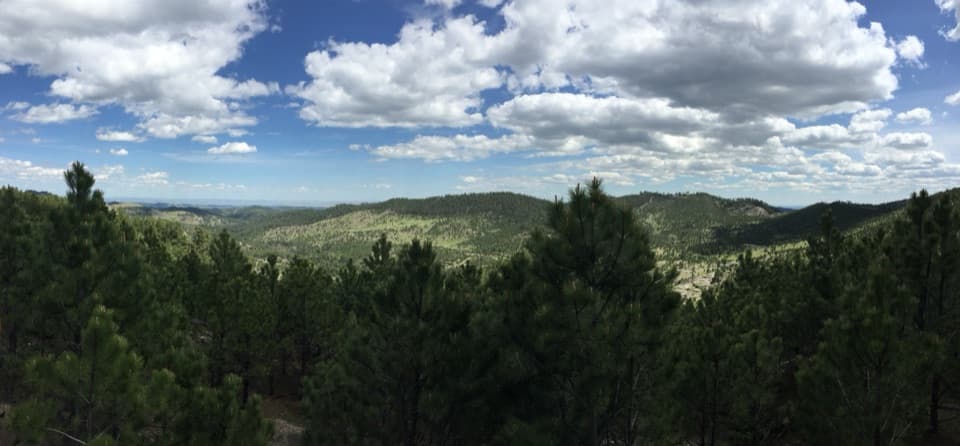 Scenic pullout · 4.5 mi awayHeddy Draw OverlookA short walk to a covered shelter and broad Black Hills views.
Parkwolf’s Custer ranking

The audio tour guide for the drive, plus offline maps, trails, and wildlife heatmaps for when the signal drops.





