Parking
Reach the roadside access from the southern arm of Wildlife Loop Road via Oak Draw Road. The Robber's Roost start is just east of Prairie Trail; no separate trailhead lot was confirmed.
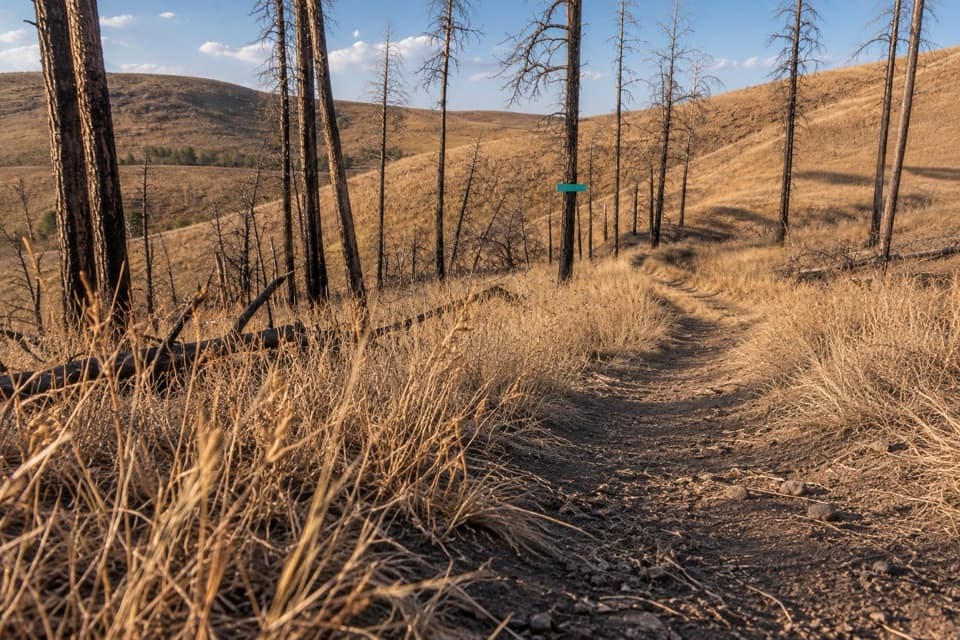
Custer State Park, SD
A short fire-road walk through open hills and scorched pines.
Overview
Map & elevation
Plan your hike

The highest, rockiest slopes around here are a summer buffet for grizzly bears.
Custer Tour Guide
Parkwolf is a GPS audio tour guide for Custer State Park. As you drive, it chimes in with what’s ahead: hidden gems, upcoming stops, history, geology, and wildlife, right through your car’s speakers.
Recorded for this trailhead
Robber's Roost: An Hour in the Open Hills“Up ahead is the Robber's Roost trail access on Oak Draw Road. If you want an hour in the open hills, choose the short out-and-back on the old fire road, one point six miles in total.”
Plays as you drive up to this trailhead in the Parkwolf Custer Tour Guide.
More stories near here in the app
“We recently toured Badlands, Custer State Park, Mount Rushmore and more! We learned so much from this app as we toured each of these sites. The audio tours are worth the money.”


Trail guide
Robber's Roost Trail is a 1.6-mile round trip on an old fire road over the park's open southern hills. Start from the Oak Draw Road access, just east of Prairie Trail, and allow about an hour. The grade rolls over hills rather than aiming for a summit, making this a straightforward open-country walk.
The park trail map shows several Robber's Roost corridors with different distances. This entry follows the short 1.6-mile option from Oak Draw and returns on the same track. A separate 3.3-mile listing does not make its endpoints clear; check the trail map before joining another branch or assuming the longer distance describes this out-and-back.
The fire-scarred open hills have little shade in warm months. Carry water and choose cooler hours when temperatures rise. Pets are allowed on park trails, but must stay on a leash no longer than 10 feet.
Wildlife
 993 sightingsBisonMost seen around 7 AMSighting map
 91 sightingsWapitiMost seen around 6 AMSighting map
 258 sightingsBighorn SheepMost seen around 7 AMSighting map
 85 sightingsMountain GoatMost seen around 7 AMSighting map
 256 sightingsBurroMost seen around 6 PMSighting map
 707 sightingsPronghornMost seen around 6 AMSighting map
Sighting maps show where each species has been reported across Custer. Wildlife moves, so no sighting is guaranteed.
Keep exploring
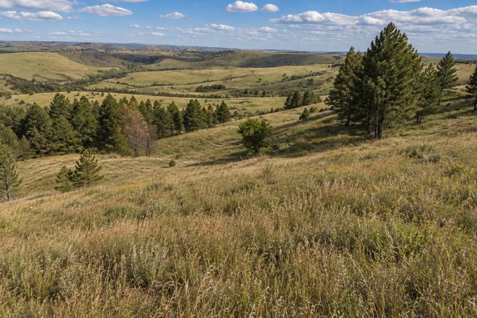 ModeratePrairie Trail2 mi · 2.5 hr · 0.3 mi awayA rolling prairie loop with creek shade and summer wildflowers.
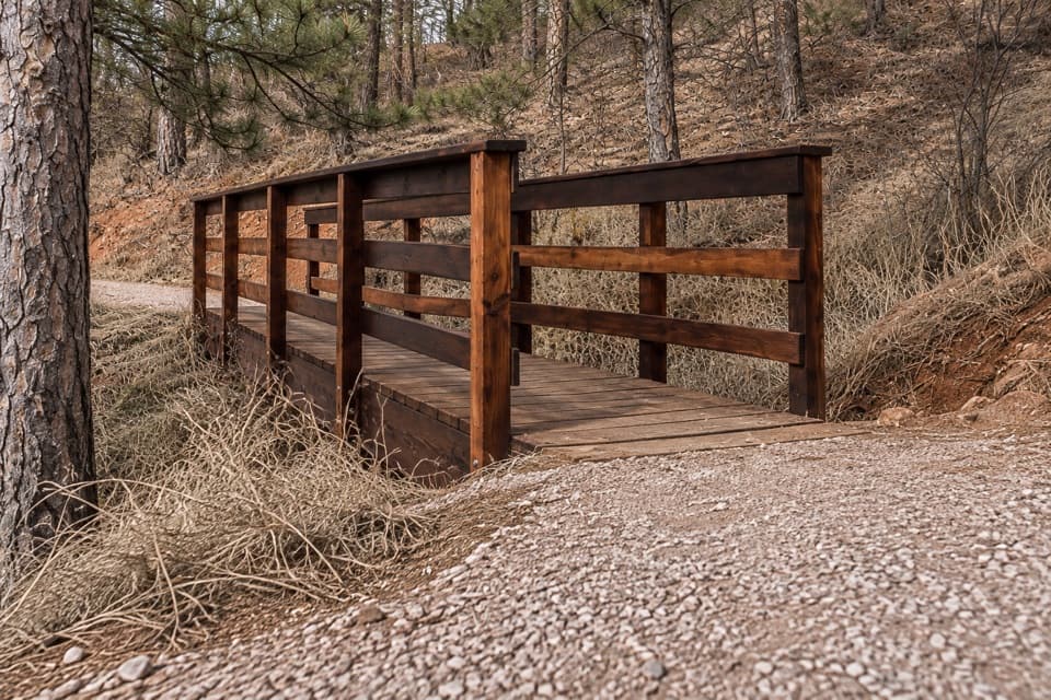 EasyRed Dog Trail0.2 mi · 18 min · 1.9 mi awayA quarter-mile prairie climb ends at a 360-degree view.
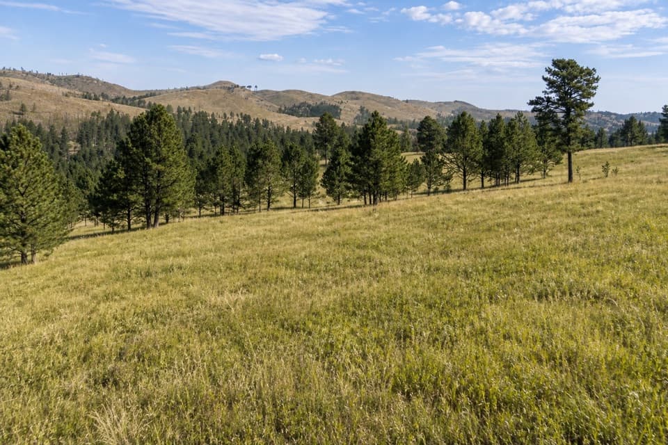 ModerateParker Canyon Loop4.4 mi · 2 hr · 3.4 mi awayA moderate loop links Parker Canyon with a meadow and Centennial Trail.
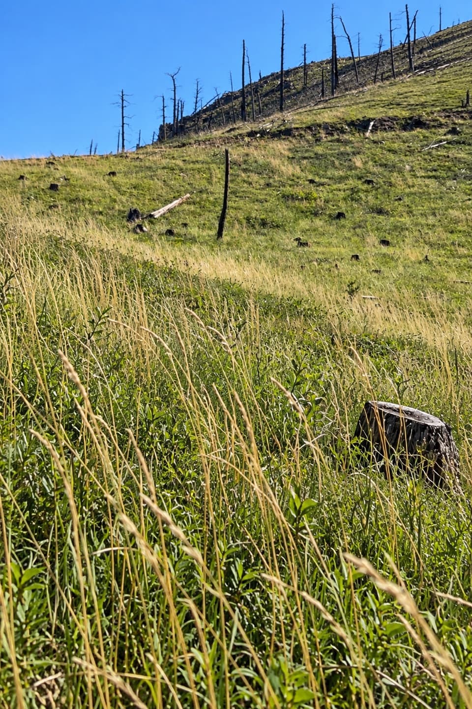 ModerateRimrock Trail3.1 mi · 2 hr · 3.6 mi awayA 3.1-mile one-way multi-use route on French Creek’s south rim.
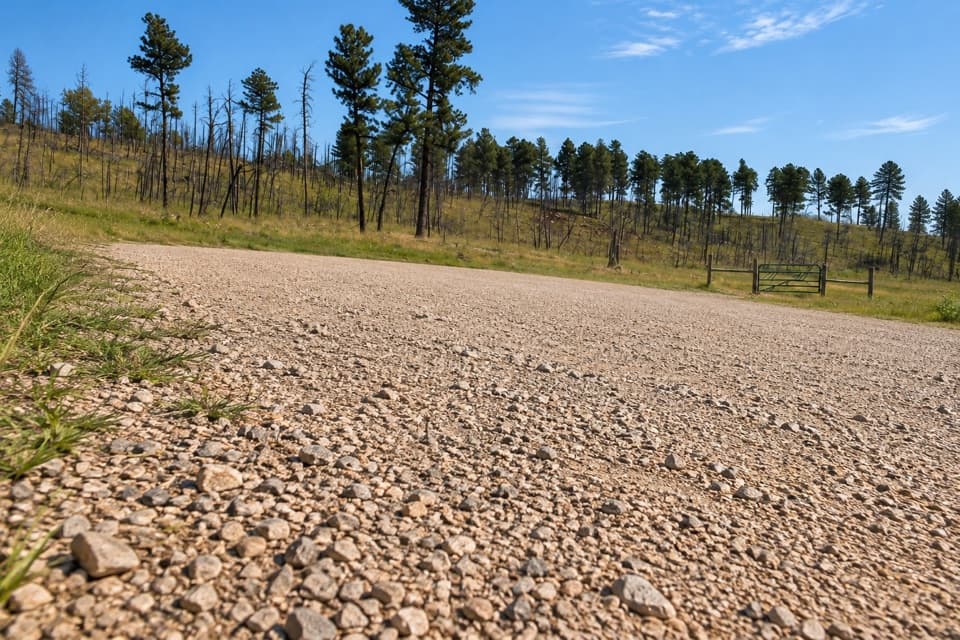 ModerateFisherman Flats Trail1.2 mi · 54 min · 3.8 mi awayA short, steep drop to a rocky perch above French Creek.
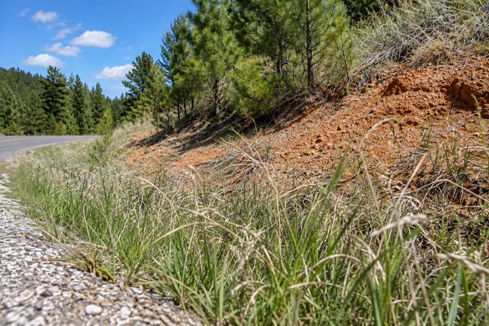 EasyDevil Dog Trail0.2 mi · 18 min · 3.8 mi awayA short stair climb opens onto prairie and a wide view.
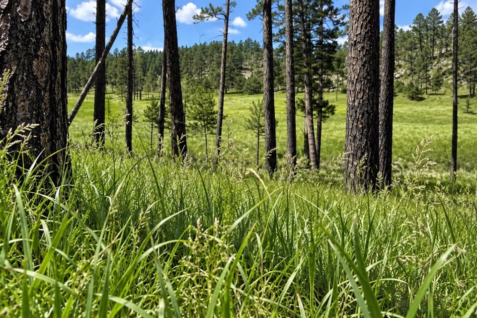 Easy2 Hour Trail Loop2.1 mi · 1.5 hr · 4.5 mi awayA compact circuit tucked among the French Creek routes.
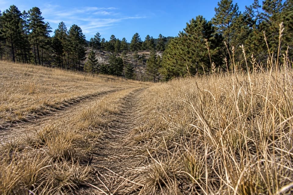 ModerateBarnes Canyon Trail4.9 mi · 4.5 hr · 6.2 mi awayA 4.9-mile one-way walk through Dry Creek backcountry.
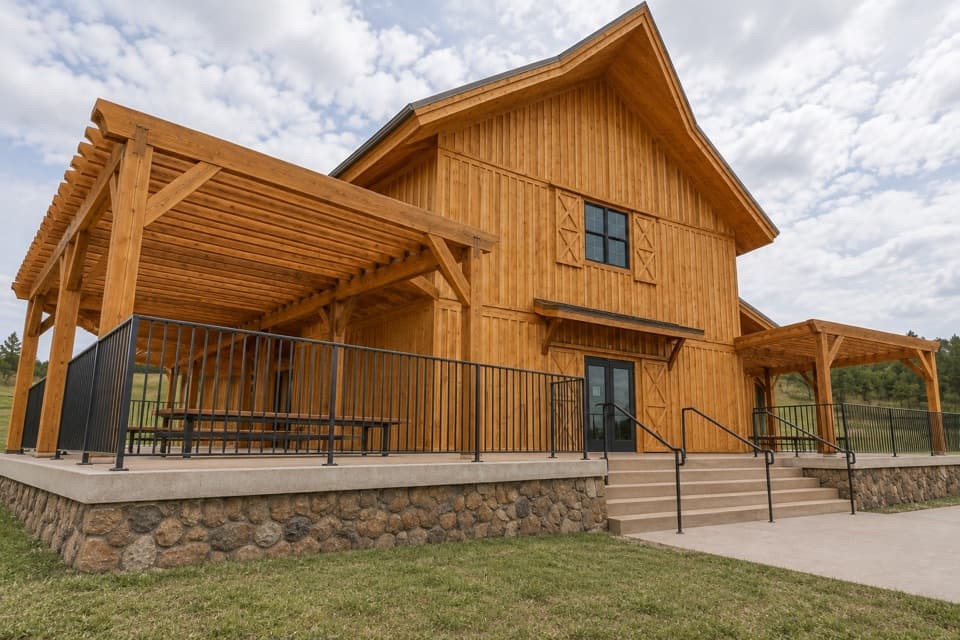 Visitor center · 1.9 mi awayCuster State Park Bison CenterMeet the herd’s story through interactive exhibits.
 Visitor center · 2.4 mi awayWildlife Station Visitor CenterA herdsman's house brings the prairie story onto the Wildlife Loop.
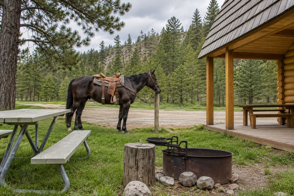 Campground · 4.5 mi awayFrench Creek Horse CampA creek-side base camp with two corrals at every site.
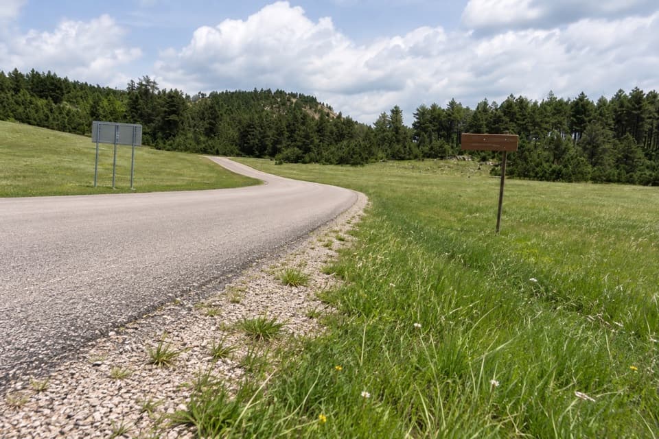 Entrance station · 4.7 mi awayBlue Bell Entrance StationA quick pass checkpoint at the start of Wildlife Loop
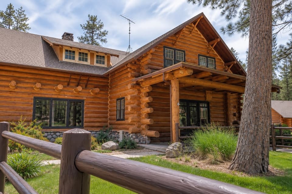 Lodging · 5.4 mi awayBlue Bell LodgeA Black Hills cabin base with a creekside patio and backcountry cookout.
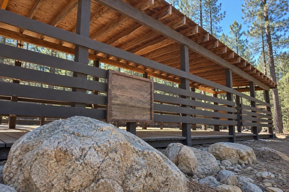 Sight · 5.4 mi awayBlue Bell Lodge StablesA guided horseback ride into French Creek’s pine-lined backcountry.
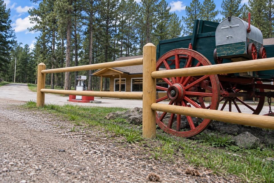 Store · 5.5 mi awayBlue Bell StoreA handy fuel and supply stop along the Wildlife Loop.
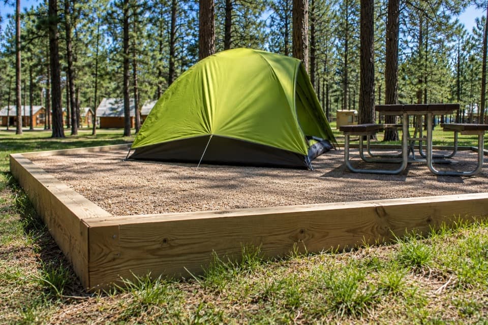 Campground · 5.5 mi awayBlue Bell CampgroundPine shade, tent pads, and cabins beside French Creek.
Parkwolf’s Custer ranking

The audio tour guide for the drive, plus offline maps, trails, and wildlife heatmaps for when the signal drops.





