Parking
Start at Station Road Car Park in Bovey Tracey and cross into Mill Marsh Park. Court Street Car Park in Moretonhampstead is the other signed access, reached via Pound Lane. The endpoints are 7 miles apart, so arrange transport or walk back.
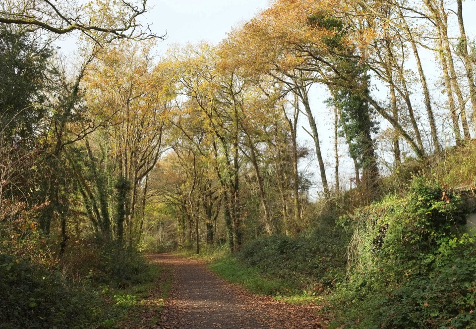
#8 of 54 trails in Dartmoor
Dartmoor National Park
River paths and beech tunnels, interrupted by one steep road mile.
Overview
Wray Valley Trail is a 7-mile (11 km) one-way walk from Bovey Tracey to Moretonhampstead, mostly along a former railway through the Wray Valley. It is a long, steady valley route for the River Bovey, Parke Estate woodland and Lustleigh, rather than a hill walk. Allow about 3–4 hours on foot, with time for stops; the endpoints are separate towns, so plan how to get back. The trail is shared with cyclists and horse riders.
 Parkwolf’s verdictIs this the whole route for you?
Map & elevation
Plan your hike

The highest, rockiest slopes around here are a summer buffet for grizzly bears.
Dartmoor Tour Guide
Parkwolf is a GPS audio tour guide for Dartmoor National Park. As you drive, it chimes in with what’s ahead: hidden gems, upcoming stops, history, geology, and wildlife, right through your car’s speakers.
Recorded for this area
England’s First Nature Reserve“Yarner Wood, near this part of Dartmoor, has a place in conservation history. In nineteen fifty-two, it became England's first National Nature Reserve.”
Plays on the road 1 km from the trailhead in the Parkwolf Dartmoor Tour Guide.
More stories near here in the app
“Fantastic app with many points of information… It’s great to just turn on while you’re driving and it gives you an audio tour of the national Park. We love it!!!!”


Trail guide
Start at Station Road Car Park. Cross into Mill Marsh Park, keep the River Bovey on your right and pass beneath the road bridge into Parke. The route joins the old railway and climbs gently on a mostly compacted gravel path. The valley woods close over sections of the track; the beech tunnel is especially striking when leaves are out. Parke House and its café sit on a side path, not the main line; the detour is steep down and back up.
The railway opened in 1866 and carried passengers and local goods between the valley towns. Passenger service ended in 1959 and the line closed fully in 1964. Embankments, cuttings and old railway stops explain the route’s long, straight passages better than any summit view.
Near Hawkmoor, the mostly traffic-free line gives way to about a mile on narrow, hilly Lower Knowle Road before rejoining at Brookfield in Lustleigh. Motor traffic uses this stretch, so it needs the most care and makes the route less relaxed than the railway path. Through Lustleigh the trail returns to the old railway alignment and follows the wooded valley north to Moretonhampstead, ending near Pound Lane.
The off-road track varies between sealed and unsealed surfaces; expect gravel and patches that can turn muddy after rain.
Station Road Car Park is the straightforward start, with toilets nearby. From Moretonhampstead, Court Street Car Park is the other signed access, with the route reached down Pound Lane. The main walk is one way, so arrange a lift or allow the same 7 miles back. If you want a shorter taste, the Bovey Tracey–Hawkmoor Halt section is about 2.5 km each way; it turns back before the road section. Food is available in both towns, and the Parke café requires a detour.
Wildlife
 32 sightingsWestern Roe DeerMost seen around 7 AMSighting map
 10 sightingsRed FoxMost seen around 7 PMSighting map
 37 sightingsEuropean RabbitMost seen around 7 AMSighting map
 19 sightingsGrey HeronMost seen around 7 PMSighting map
 34 sightingsGreat Spotted WoodpeckerMost seen around 7 AMSighting map
 20 sightingsCommon RavenMost seen around 8 AMSighting map
Sighting maps show where each species has been reported across Dartmoor. Wildlife moves, so no sighting is guaranteed.
Keep exploring
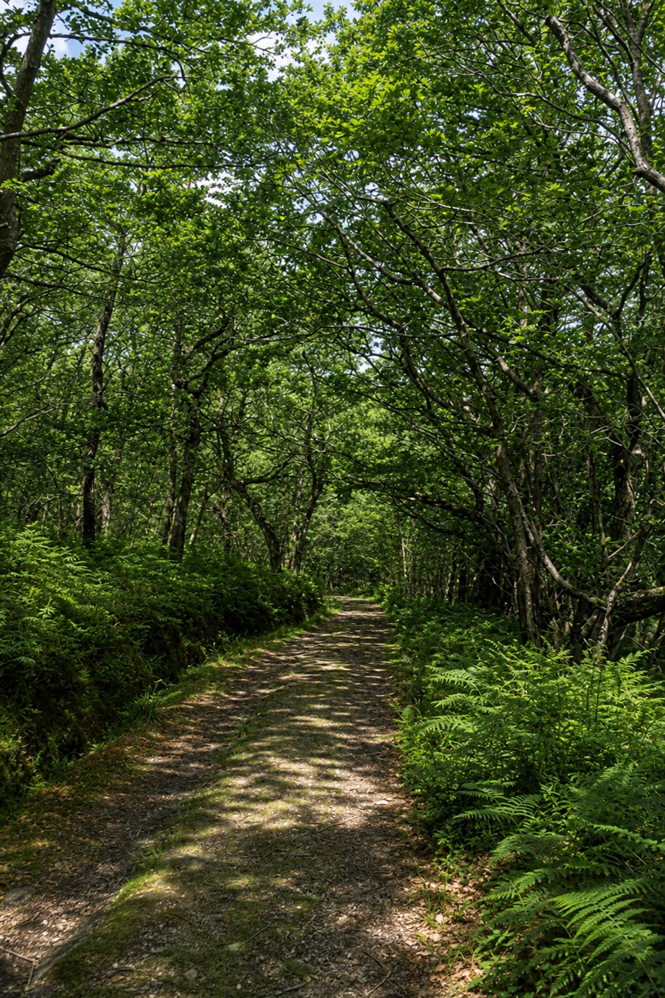 EasyYarner Wood Nature Trail2.6 km · 45 min · 3 km awayA shaded loop through England’s first National Nature Reserve.
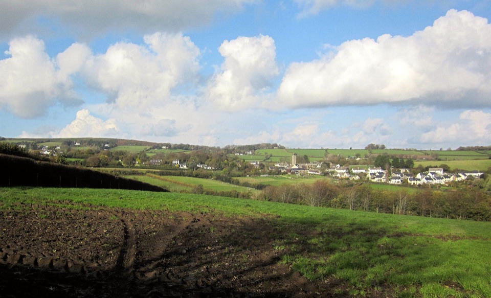 ModerateIlsington Walk5 km · 2 hr · 3.4 km awayA green-lane loop with Haytor views and a village manor ruin.
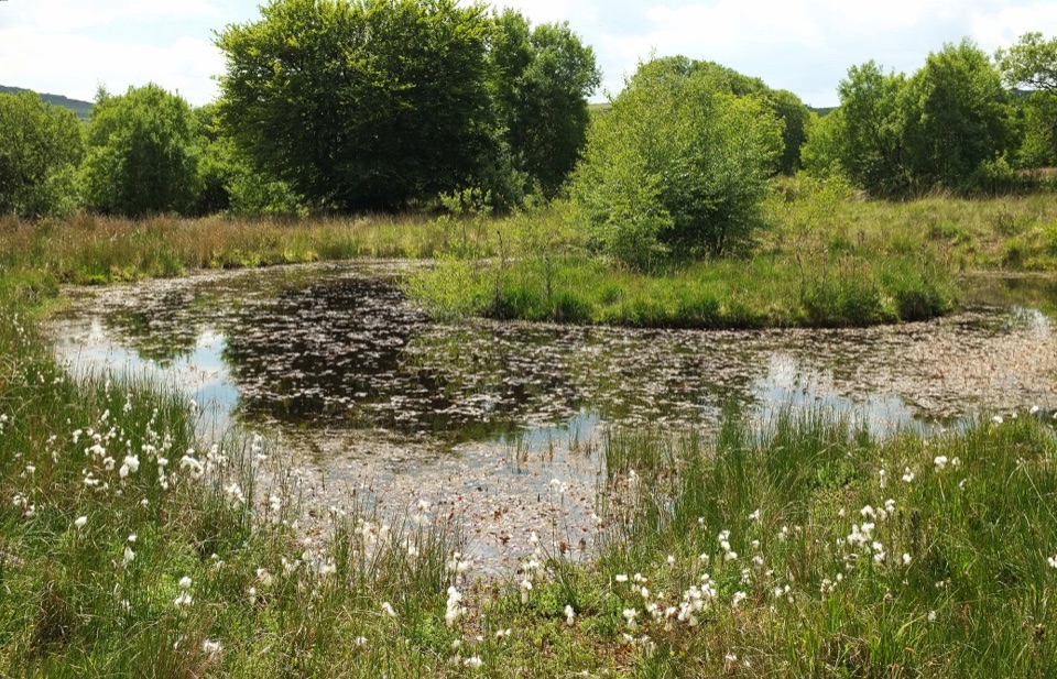 ModerateHaytor to Emsworthy Mire Loop8 km · 3 hr · 5 km awayA moorland loop from Haytor to the boardwalks of Emsworthy Mire.
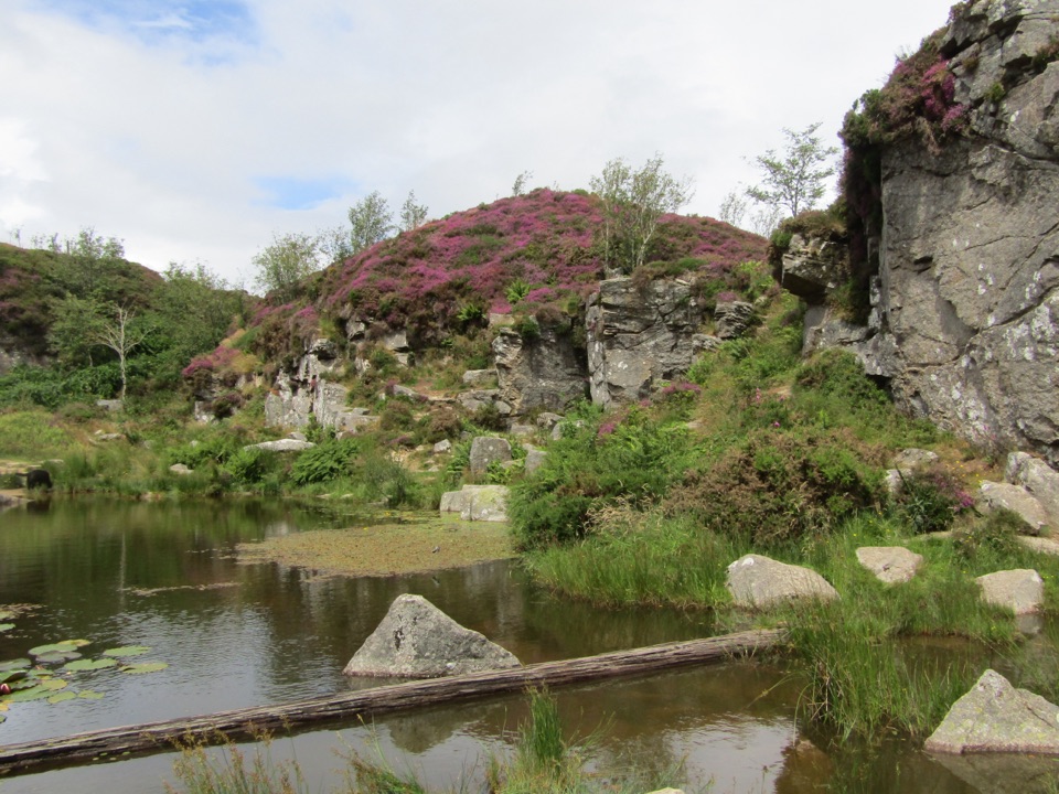 ModerateMiles Without Stiles Haytor Quarry Walk2.6 km · 1.3 hr · 5.6 km awayA short out-and-back to quarry pools and an old tramway viewpoint.
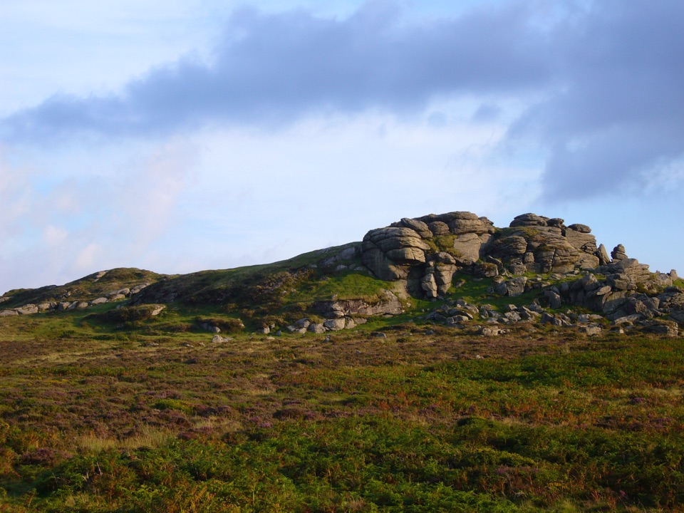 EasySaddle Tor Walk1 km · 30 min · 6.2 km awayA quick rocky climb to Saddle Tor’s higher granite pile.
 EasyHound Tor Walk1 km · 30 min · 7.5 km awayA short rocky climb to a granite tor with open moor views.
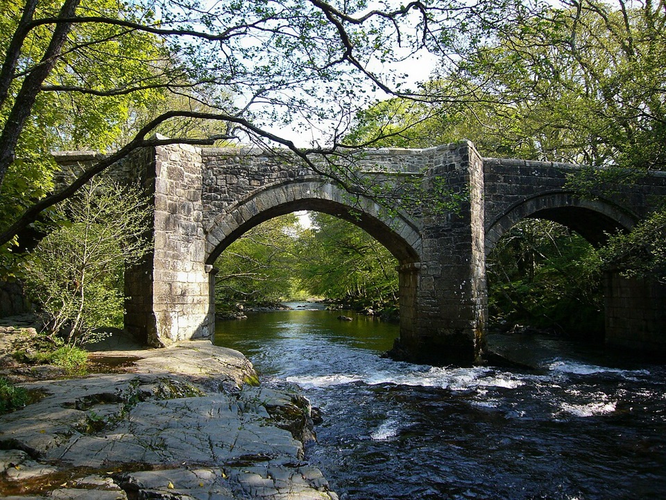 ModerateSpitchwick Manor Circular10.6 km · 3.5 hr · 12.6 km awayA riverside start leads to three high tors above Dart Gorge.
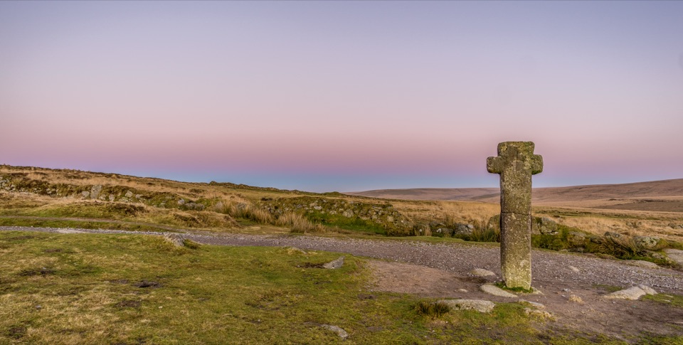 ChallengingAbbot's Way34.9 km · 11 hr · 13.1 km awayA full-day crossing of open Dartmoor between two abbeys.
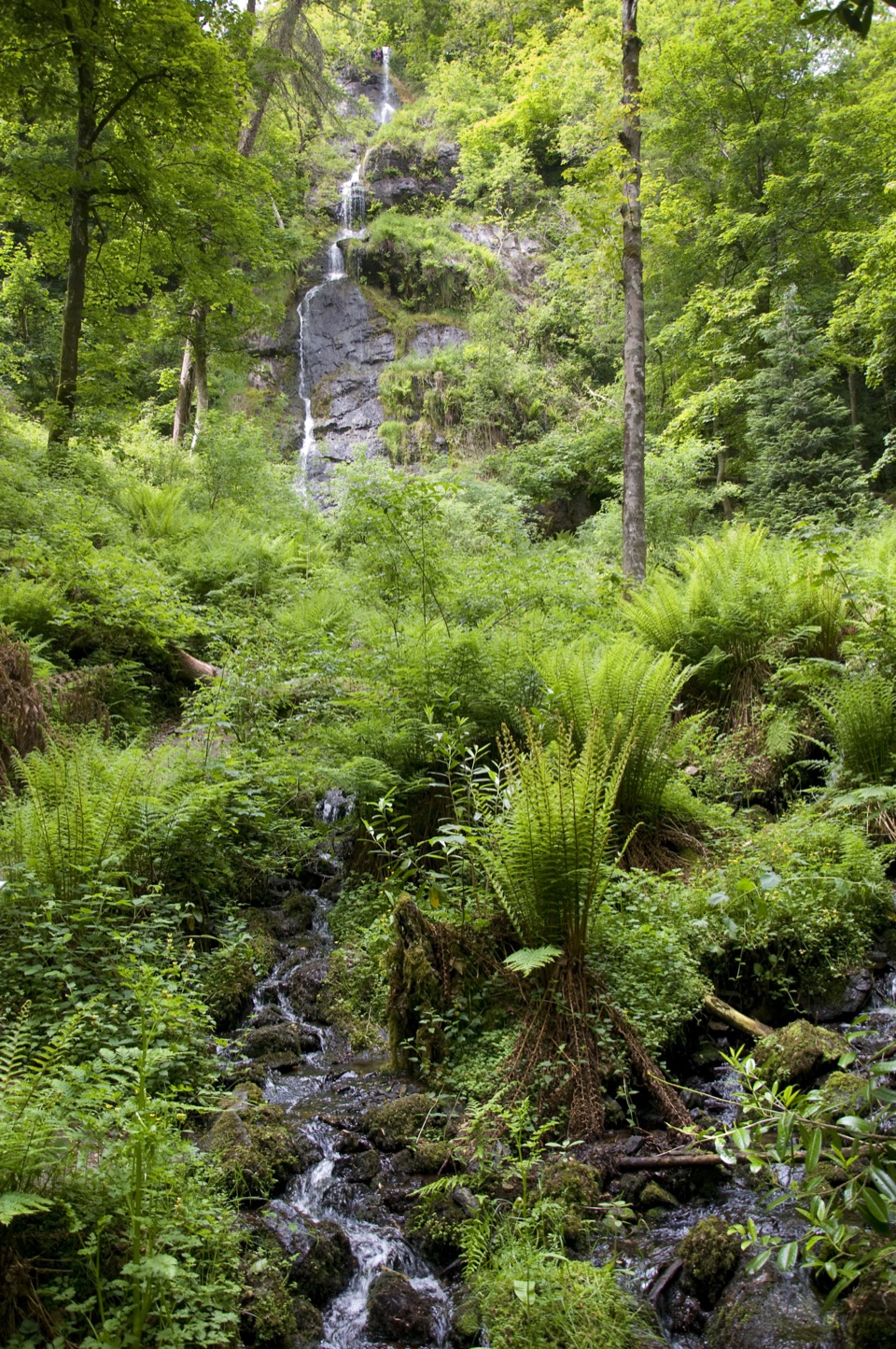 Sight · 4.9 km awayCanonteign FallsA 70-metre waterfall walk through Victorian fern gardens.
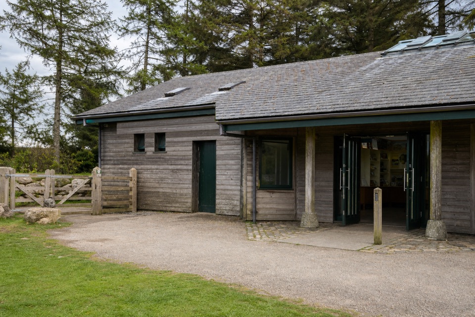 Visitor center · 4.9 km awayNational Park Visitor Centre, HaytorStart here for Haytor walks, maps, quarry paths and tramway history.
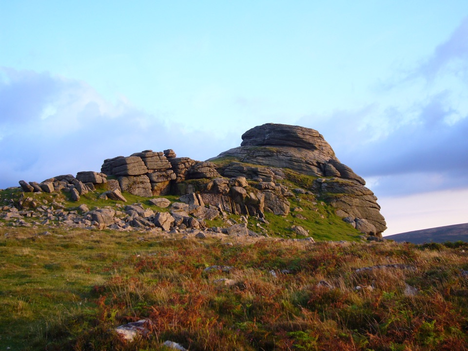 Sight · 5.8 km awayHaytor RocksGranite towers above the moor, reached by a short steep climb.
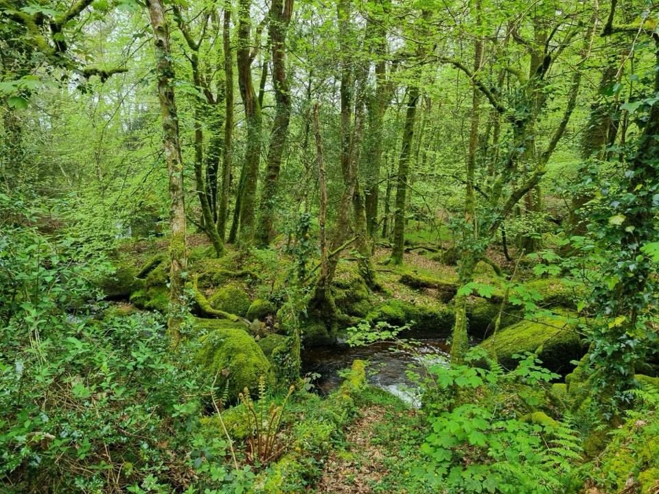 Sight · 5.9 km awayBecky Falls Woodland ParkA woodland park with a 70-foot waterfall and proper scrambling.
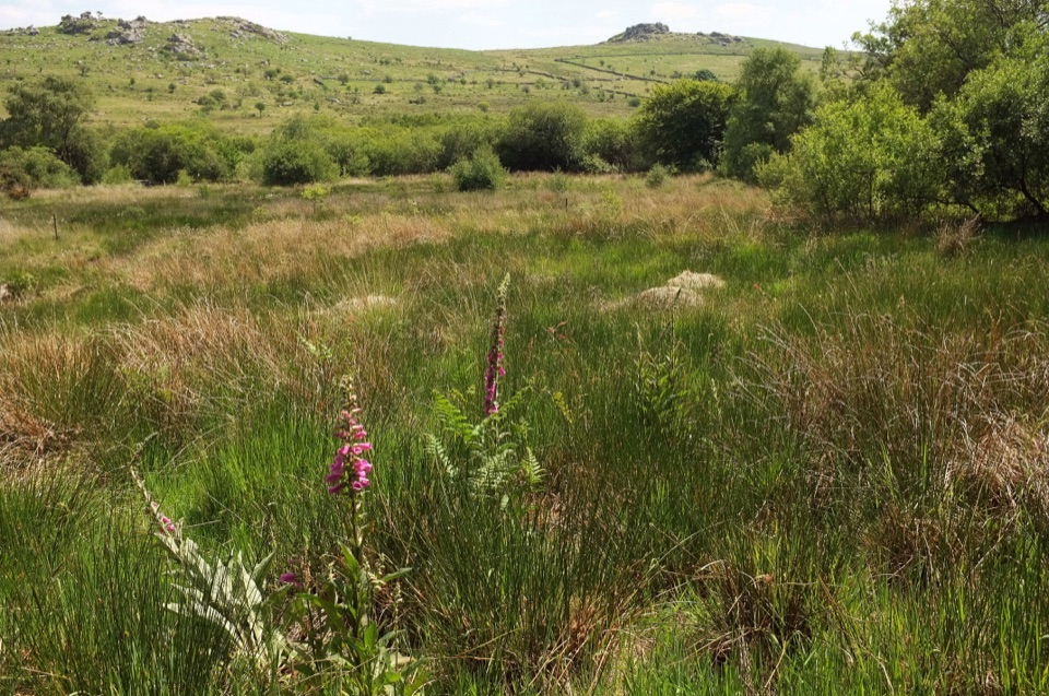 Sight · 6.7 km awayEmsworthy MireBluebell fields, wet mire and ruined farm buildings below granite tors
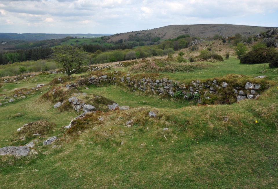 Sight · 6.8 km awayHound Tor Deserted Medieval VillageGranite longhouse ruins between Hound Tor and Greator Rocks.
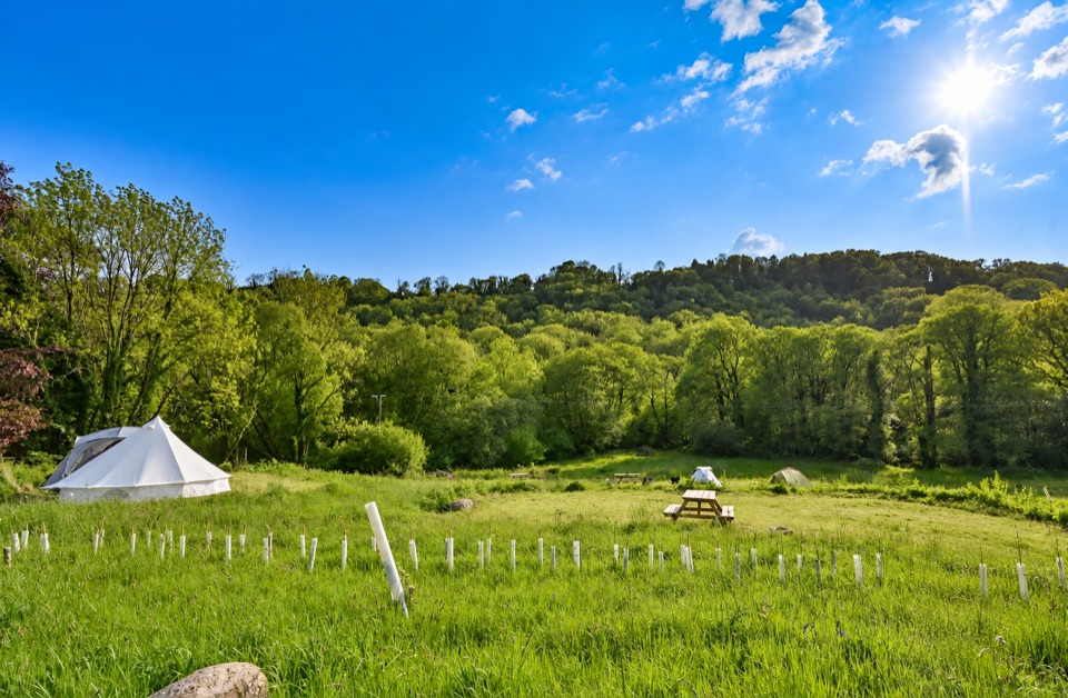 Campground · 7 km awayWray Valley CampingTent-only camping by the river, with woodland pitches and hot showers.
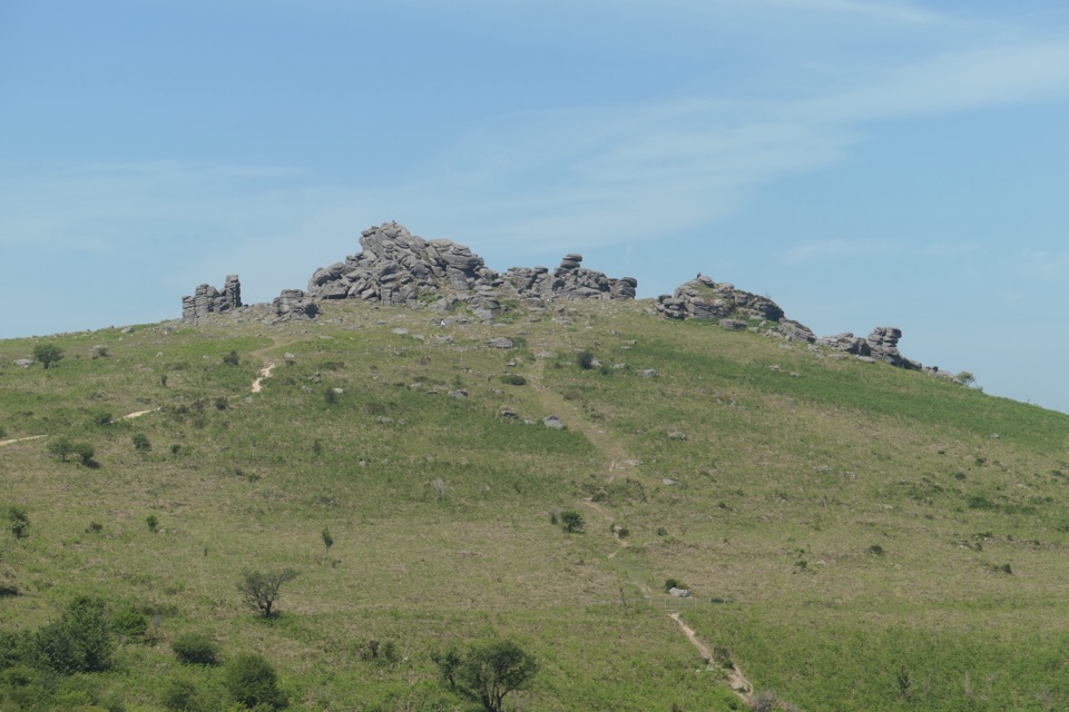 Sight · 7.2 km awayHound TorGranite stacks, open moor and a medieval village in one walk.
Parkwolf’s Dartmoor ranking
The audio tour guide for the drive, plus offline maps, trails, and wildlife heatmaps for when the signal drops.




