Parking
Start at the National Park Visitor Centre at Haytor (SX765771); the route returns to this access.
Dartmoor National Park
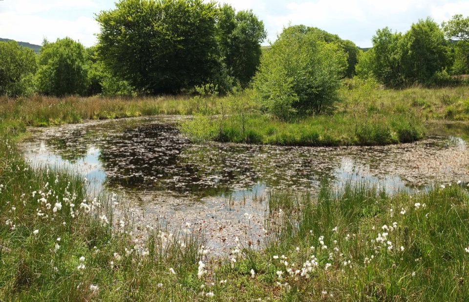
A moorland loop from Haytor to the boardwalks of Emsworthy Mire.
Overview
Map & elevation
Plan your hike

The highest, rockiest slopes around here are a summer buffet for grizzly bears.
Dartmoor Tour Guide
Parkwolf is a GPS audio tour guide for Dartmoor National Park. As you drive, it chimes in with what’s ahead: hidden gems, upcoming stops, history, geology, and wildlife, right through your car’s speakers.
Recorded for this trailhead
Haytor Rocks“You're approaching Haytor, where the granite towers are an uphill walk from the visitor centre, not a roadside lookout.”
Plays as you drive up to this trailhead in the Parkwolf Dartmoor Tour Guide.
More stories near here in the app
“Fantastic app with many points of information… It’s great to just turn on while you’re driving and it gives you an audio tour of the national Park. We love it!!!!”


Trail guide
This 5-mile (8 km) circular walk starts and finishes at the National Park Visitor Centre at Haytor. Allow about three hours to follow stone tracks and the old granite tramway to Emsworthy Mire, then climb back across open moorland past Saddle Tor. Boardwalks bring you close to the pools and wetland plants, with a broad view toward Haytor Rocks on the return.
From the visitor centre, cross the road and walk downhill about 200 m. Near SX767773, take the northwest track beside a water leat. Pass a fenced enclosure and the granite spoil heaps of Haytor Quarry, then follow the tramway until it fades. Those stone tracks are firmer than what follows. After the gate into Emsworthy, expect rough, unmade paths, wet ground and short boardwalks through mire and wet woodland. Follow the signed circuit around the reserve and return to the same gate. Look around the pools for sphagnum moss and insect-catching sundews. A red-roofed farm ruin recalls the moorland farm abandoned in the 1870s; nearby fields turn purple with bluebells in early summer.
From the mire gate, follow the stone walls southeast to Saddle Tor, then take the grassy path northeast to the right of Haytor Rocks and descend to the visitor centre. The saddle is the place to pause for the surrounding moor and the granite outcrops. The route is a moderate three-hour walk, but boggy footing and unmade moorland paths slow it down. Dartmoor weather can be unpredictable, and the open route is easy to misread. Use a detailed map and compass rather than relying on a small route map alone.
Start and finish at the National Park Visitor Centre at Haytor, grid reference SX765771. Dogs are allowed; keep them on a short lead from 1 March to 31 July during lambing and bird breeding season. If you want a shorter walk, a separate 4 km (2½-mile) circuit starts at the Saddle Tor car park and takes about 1½ to 2 hours, though it still crosses wet mire ground.
Wildlife
 32 sightingsWestern Roe DeerMost seen around 7 AMSighting map
 10 sightingsRed FoxMost seen around 7 PMSighting map
 37 sightingsEuropean RabbitMost seen around 7 AMSighting map
 19 sightingsGrey HeronMost seen around 7 PMSighting map
 34 sightingsGreat Spotted WoodpeckerMost seen around 7 AMSighting map
 20 sightingsCommon RavenMost seen around 8 AMSighting map
Sighting maps show where each species has been reported across Dartmoor. Wildlife moves, so no sighting is guaranteed.
Keep exploring
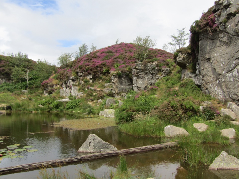 ModerateMiles Without Stiles Haytor Quarry Walk2.6 km · 1.3 hr · 0.7 km awayA short out-and-back to quarry pools and an old tramway viewpoint.
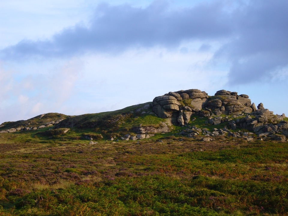 EasySaddle Tor Walk1 km · 30 min · 1.3 km awayA quick rocky climb to Saddle Tor’s higher granite pile.
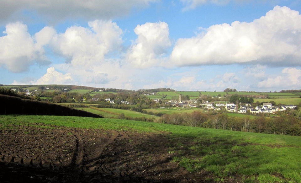 ModerateIlsington Walk5 km · 2 hr · 2.4 km awayA green-lane loop with Haytor views and a village manor ruin.
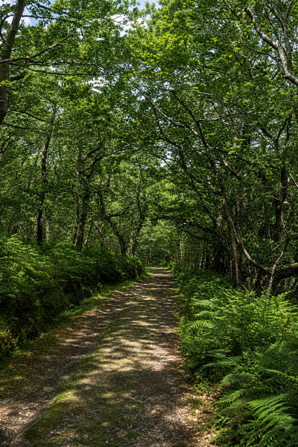 EasyYarner Wood Nature Trail2.6 km · 45 min · 2.7 km awayA shaded loop through England’s first National Nature Reserve.
 EasyHound Tor Walk1 km · 30 min · 3.3 km awayA short rocky climb to a granite tor with open moor views.
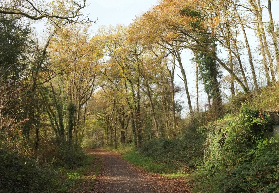 ModerateWray Valley Trail11.3 km · 3.5 hr · 5 km awayRiver paths and beech tunnels, interrupted by one steep road mile.
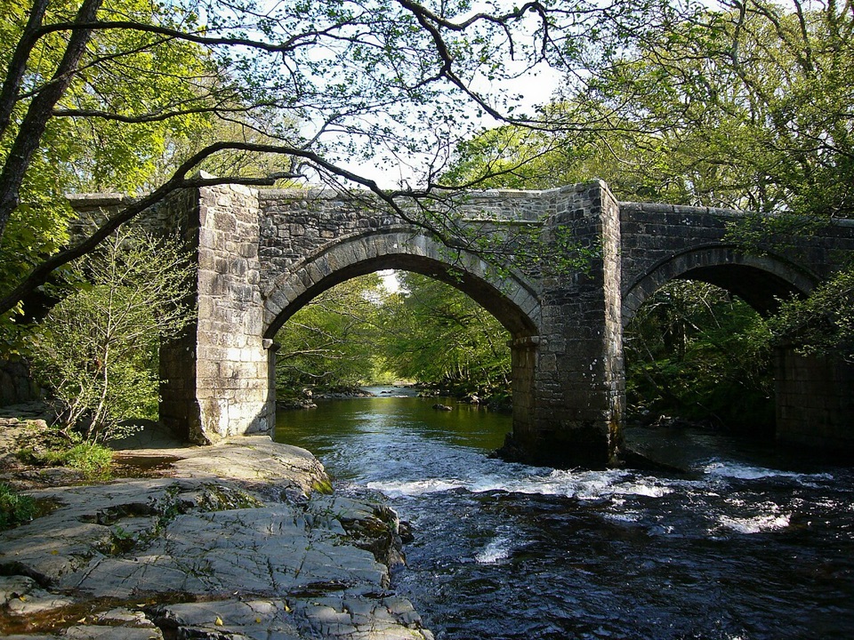 ModerateSpitchwick Manor Circular10.6 km · 3.5 hr · 8.2 km awayA riverside start leads to three high tors above Dart Gorge.
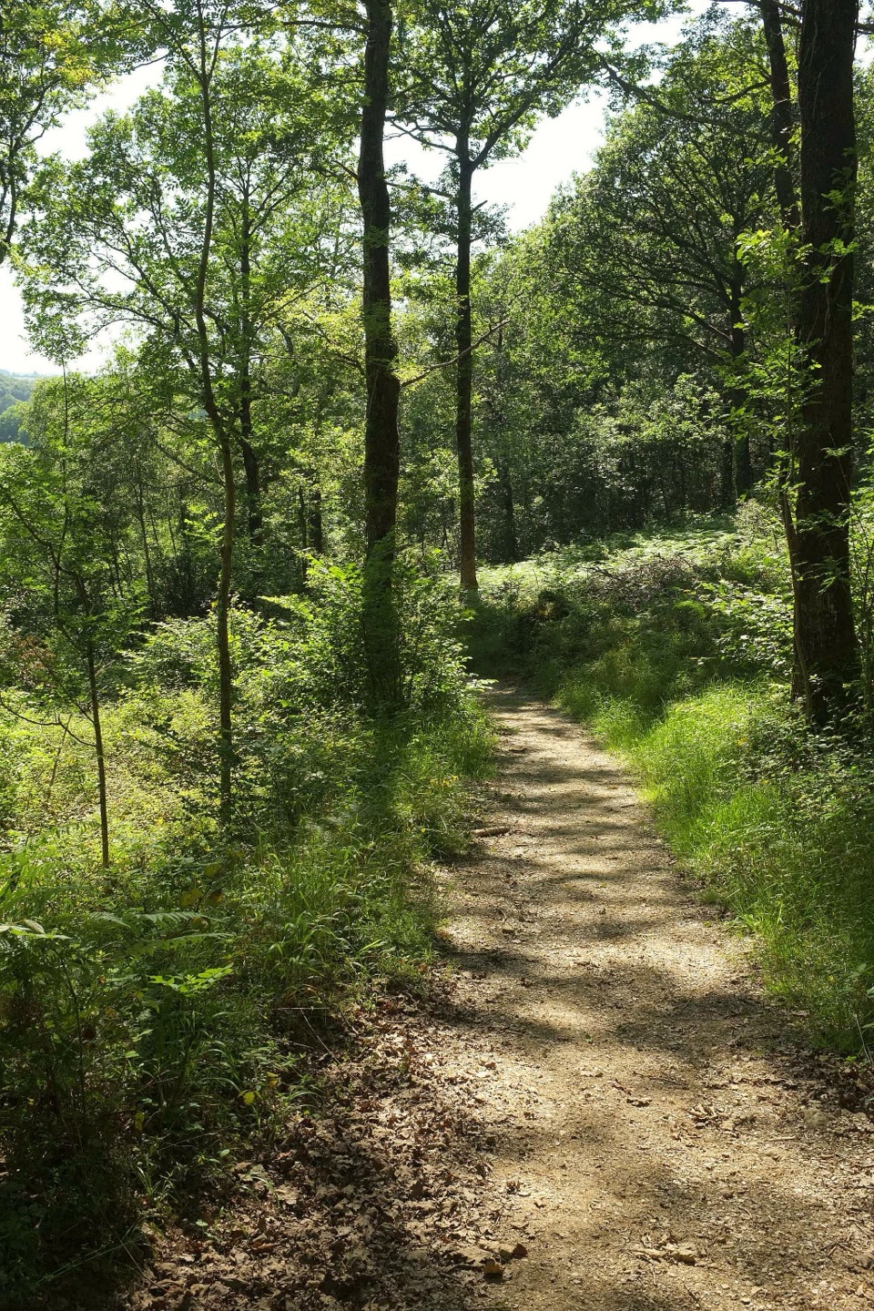 ModerateHembury Woods Walk6.6 km · 2.3 hr · 9.7 km awayA riverbank loop skirts an ancient hillfort through deep woodland.
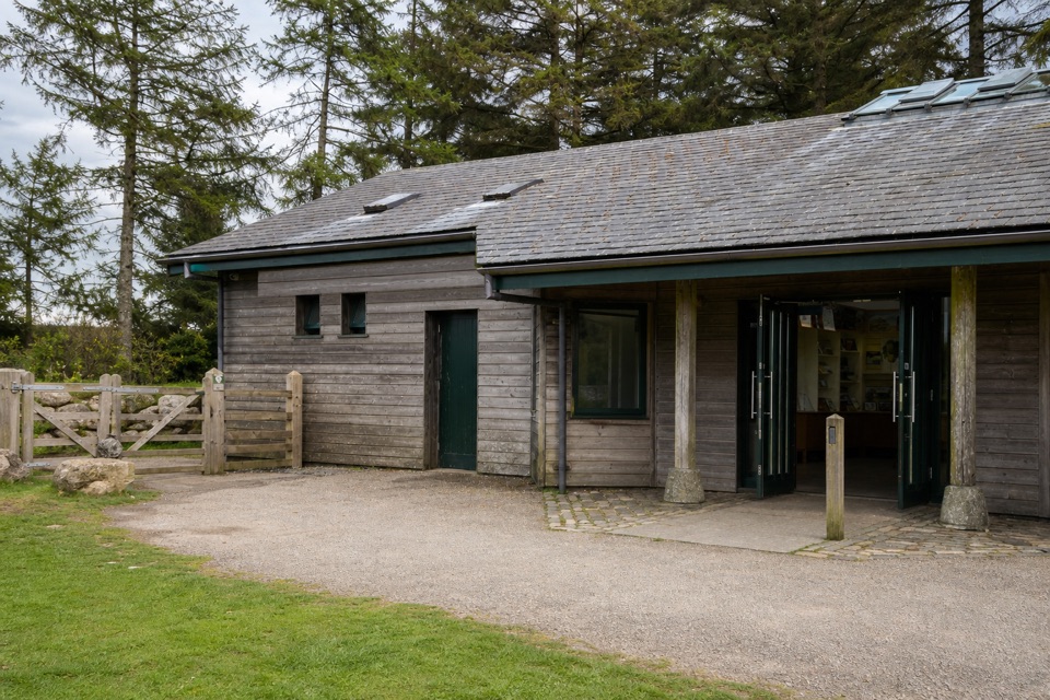 Visitor center · 0.1 km awayNational Park Visitor Centre, HaytorStart here for Haytor walks, maps, quarry paths and tramway history.
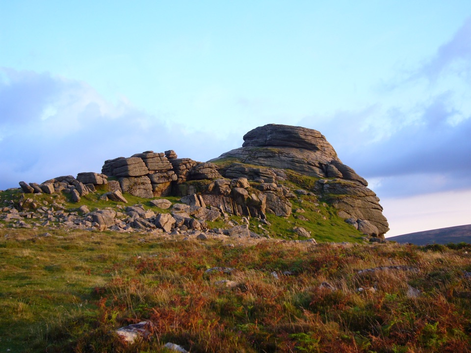 Sight · 0.8 km awayHaytor RocksGranite towers above the moor, reached by a short steep climb.
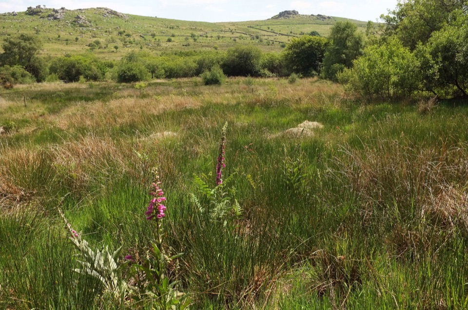 Sight · 1.7 km awayEmsworthy MireBluebell fields, wet mire and ruined farm buildings below granite tors
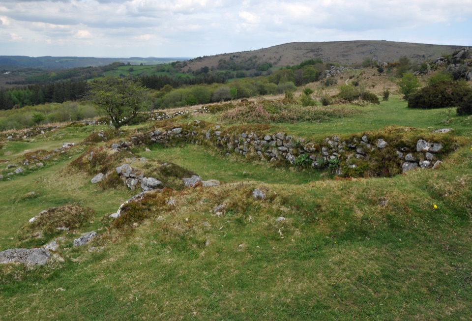 Sight · 2.5 km awayHound Tor Deserted Medieval VillageGranite longhouse ruins between Hound Tor and Greator Rocks.
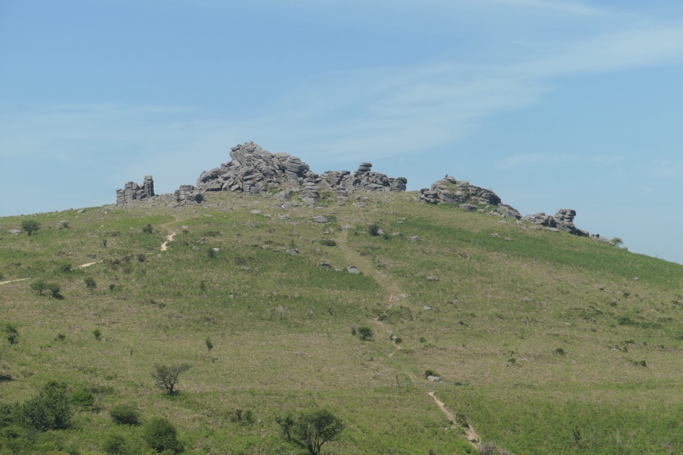 Sight · 2.9 km awayHound TorGranite stacks, open moor and a medieval village in one walk.
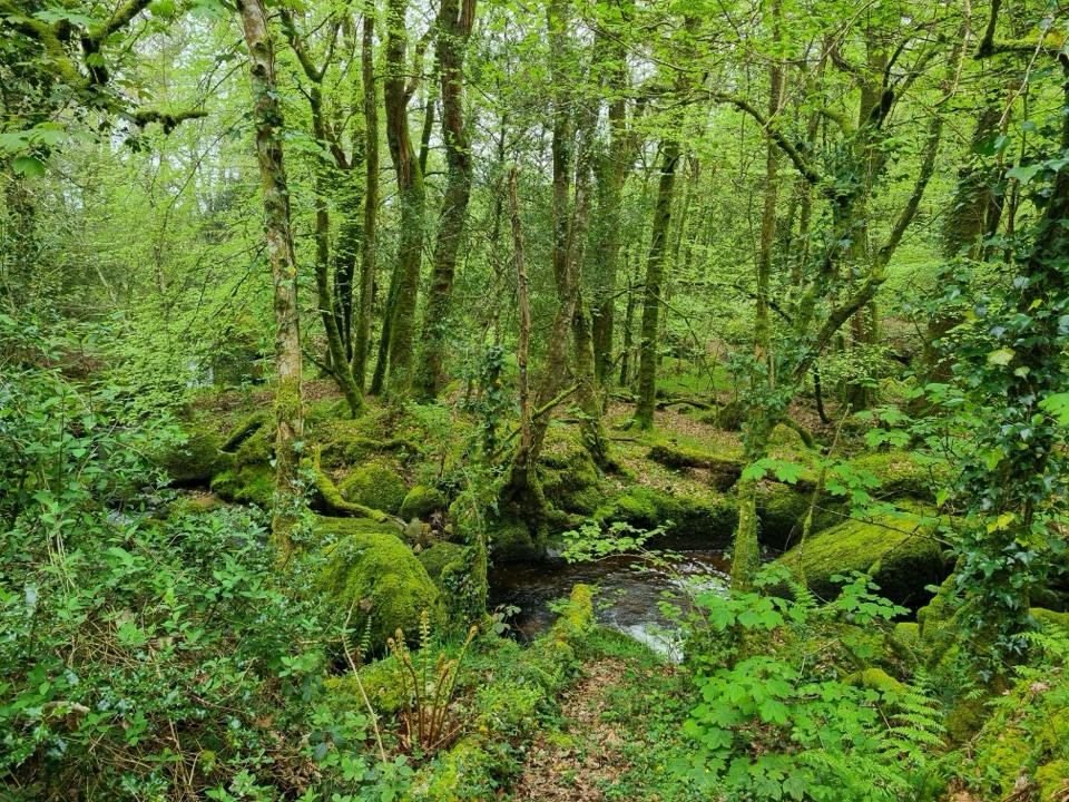 Sight · 3 km awayBecky Falls Woodland ParkA woodland park with a 70-foot waterfall and proper scrambling.
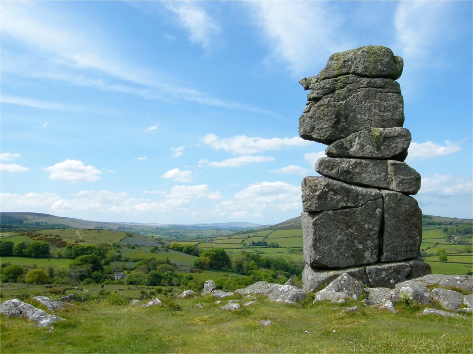 Sight · 4.1 km awayBowerman's NoseA granite stack that shifts into a human profile from different angles.
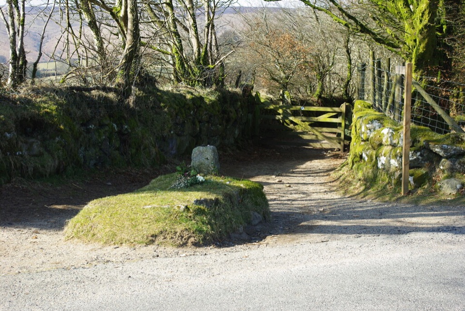 Sight · 4.3 km awayJay's GraveA tiny roadside grave with a legend no one can pin down.
Parkwolf’s Dartmoor ranking

The audio tour guide for the drive, plus offline maps, trails, and wildlife heatmaps for when the signal drops.




