Parking
Start at the parking area by Ilsington Parish Hall; use it only when the hall is not in use.
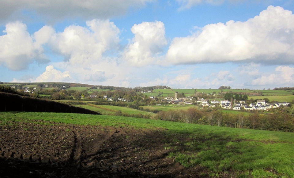
Dartmoor National Park
A green-lane loop with Haytor views and a village manor ruin.
Overview
Map & elevation
Plan your hike

The highest, rockiest slopes around here are a summer buffet for grizzly bears.
Dartmoor Tour Guide
Parkwolf is a GPS audio tour guide for Dartmoor National Park. As you drive, it chimes in with what’s ahead: hidden gems, upcoming stops, history, geology, and wildlife, right through your car’s speakers.
Recorded for this area
The Manor Wall at Ilsington“At St Michael's in Ilsington, a wall in the churchyard is the last standing part of the village's manor house.”
Plays on the road 0.1 km from the trailhead in the Parkwolf Dartmoor Tour Guide.
More stories near here in the app
“Fantastic app with many points of information… It’s great to just turn on while you’re driving and it gives you an audio tour of the national Park. We love it!!!!”


Trail guide
This is an approximately 5 km (3.1 mile) loop from Ilsington Parish Hall, taking about two hours through green lanes, fields, woodland and the village. It suits walkers after a varied countryside circuit and views toward Haytor, not a smooth or level stroll.
After passing the pub, the walk drops along Simms Hill. The lane becomes rocky and may be muddy, then climbs steeply to a crossroads. The next open lanes bring views back toward Ilsington and out to Haytor; the route descends to a road before climbing again past an early-19th-century granite signpost. A kissing gate opens onto a field edge and a wooded descent to the River Bovey. Follow the river upstream to the road, then head uphill into the village. St Michael’s churchyard holds the ruins of a 16th-century manor house. Ilsington’s earliest documented mention is as a manor in 1086, held by Ralph Pagan.
Expect steep hills and rough, sometimes wet footing on the green lanes, especially after heavy rain. Parking is by the Parish Hall only when the hall is not in use. The village pub or shop offers a refreshment stop after the walk; Haytor’s toilets and visitor centre are separate from this circuit. Dogs are allowed: keep them under close control on public rights of way and put them on a lead near livestock. On the open lane, frame Haytor above Ilsington’s rooftops for the clearest village-and-tor view.
Wildlife
 32 sightingsWestern Roe DeerMost seen around 7 AMSighting map
 10 sightingsRed FoxMost seen around 7 PMSighting map
 37 sightingsEuropean RabbitMost seen around 7 AMSighting map
 19 sightingsGrey HeronMost seen around 7 PMSighting map
 34 sightingsGreat Spotted WoodpeckerMost seen around 7 AMSighting map
 20 sightingsCommon RavenMost seen around 8 AMSighting map
Sighting maps show where each species has been reported across Dartmoor. Wildlife moves, so no sighting is guaranteed.
Keep exploring
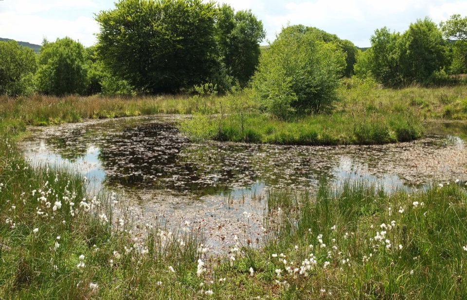 ModerateHaytor to Emsworthy Mire Loop8 km · 3 hr · 2.4 km awayA moorland loop from Haytor to the boardwalks of Emsworthy Mire.
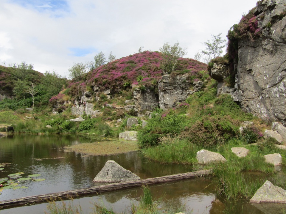 ModerateMiles Without Stiles Haytor Quarry Walk2.6 km · 1.3 hr · 2.8 km awayA short out-and-back to quarry pools and an old tramway viewpoint.
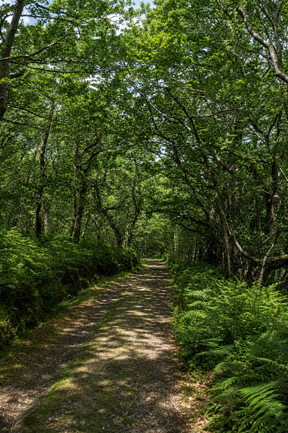 EasyYarner Wood Nature Trail2.6 km · 45 min · 2.8 km awayA shaded loop through England’s first National Nature Reserve.
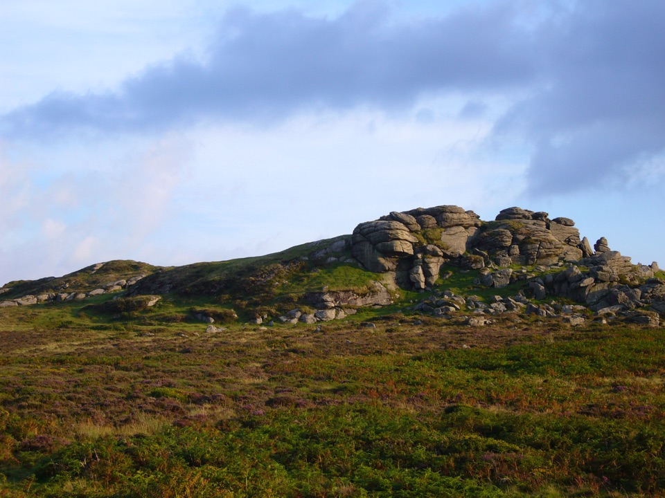 EasySaddle Tor Walk1 km · 30 min · 3.3 km awayA quick rocky climb to Saddle Tor’s higher granite pile.
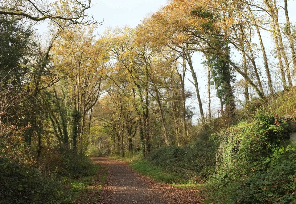 ModerateWray Valley Trail11.3 km · 3.5 hr · 3.4 km awayRiver paths and beech tunnels, interrupted by one steep road mile.
 EasyHound Tor Walk1 km · 30 min · 5.6 km awayA short rocky climb to a granite tor with open moor views.
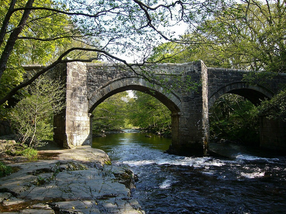 ModerateSpitchwick Manor Circular10.6 km · 3.5 hr · 9.2 km awayA riverside start leads to three high tors above Dart Gorge.
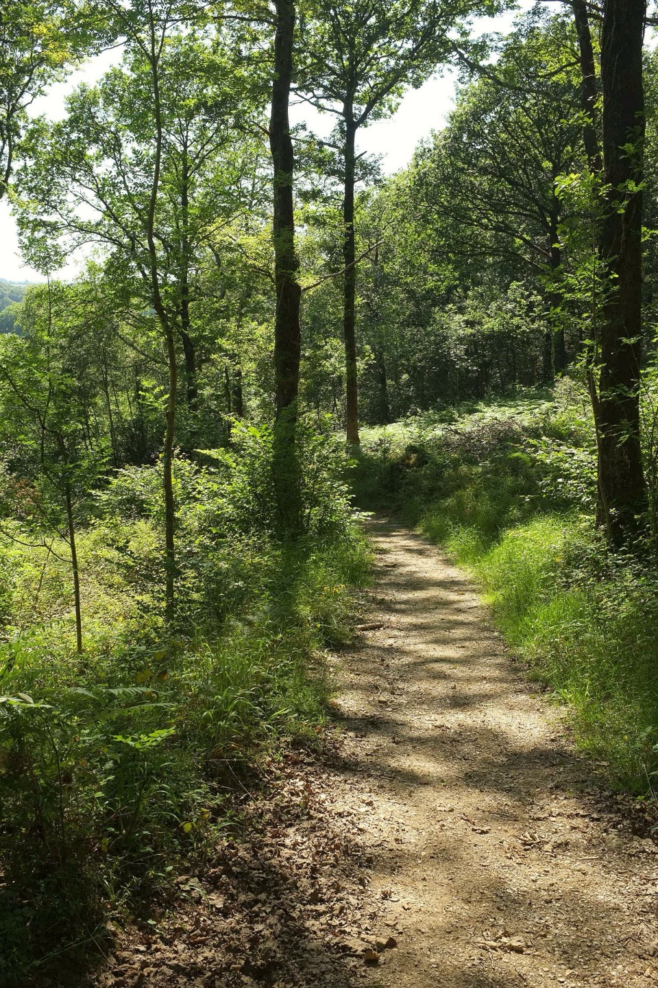 ModerateHembury Woods Walk6.6 km · 2.3 hr · 9.9 km awayA riverbank loop skirts an ancient hillfort through deep woodland.
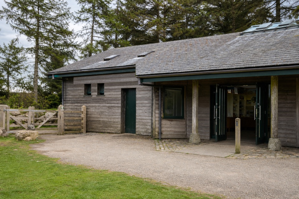 Visitor center · 2.3 km awayNational Park Visitor Centre, HaytorStart here for Haytor walks, maps, quarry paths and tramway history.
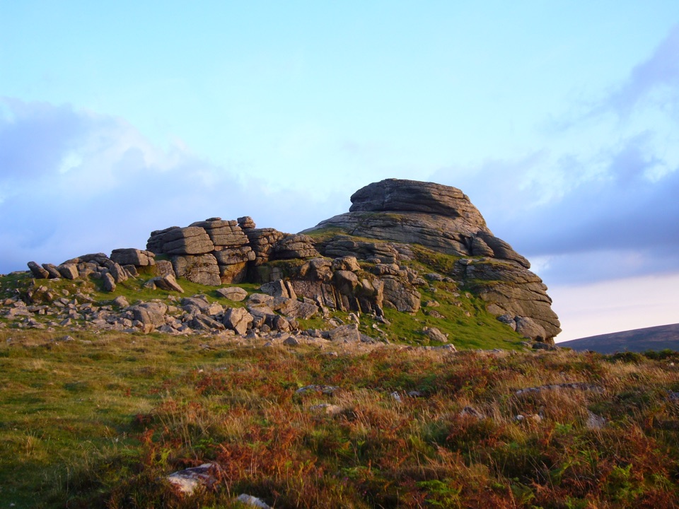 Sight · 3.1 km awayHaytor RocksGranite towers above the moor, reached by a short steep climb.
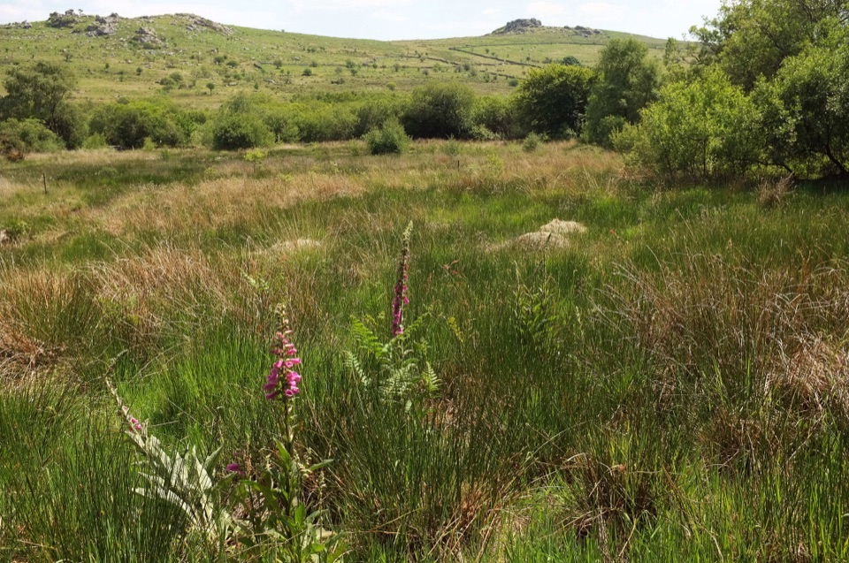 Sight · 3.7 km awayEmsworthy MireBluebell fields, wet mire and ruined farm buildings below granite tors
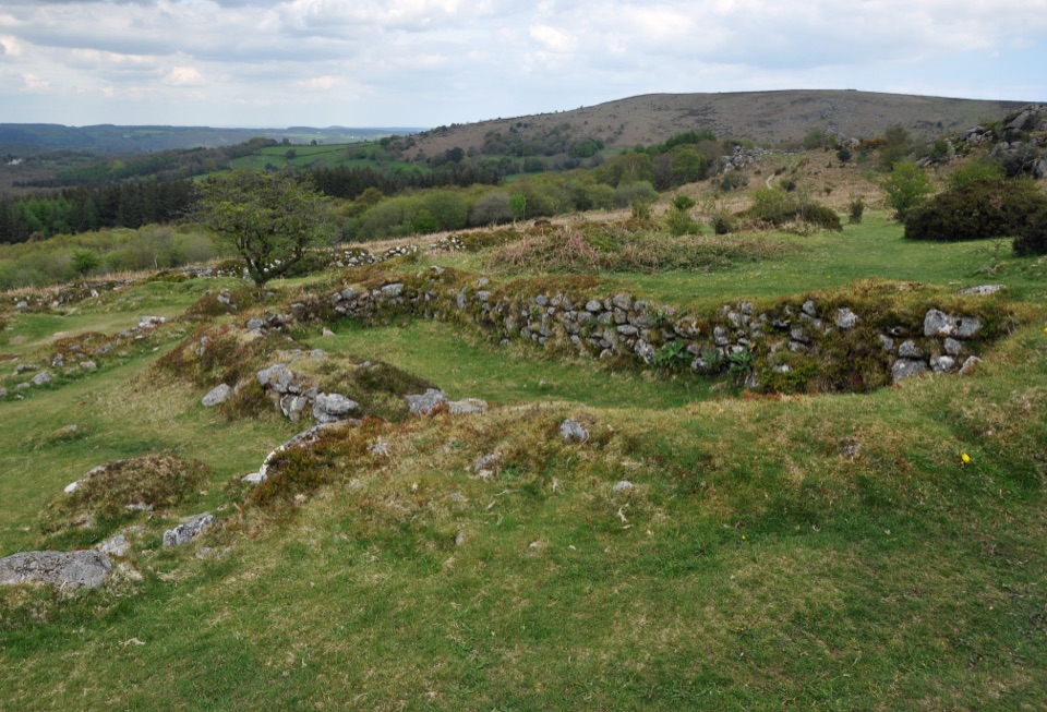 Sight · 4.8 km awayHound Tor Deserted Medieval VillageGranite longhouse ruins between Hound Tor and Greator Rocks.
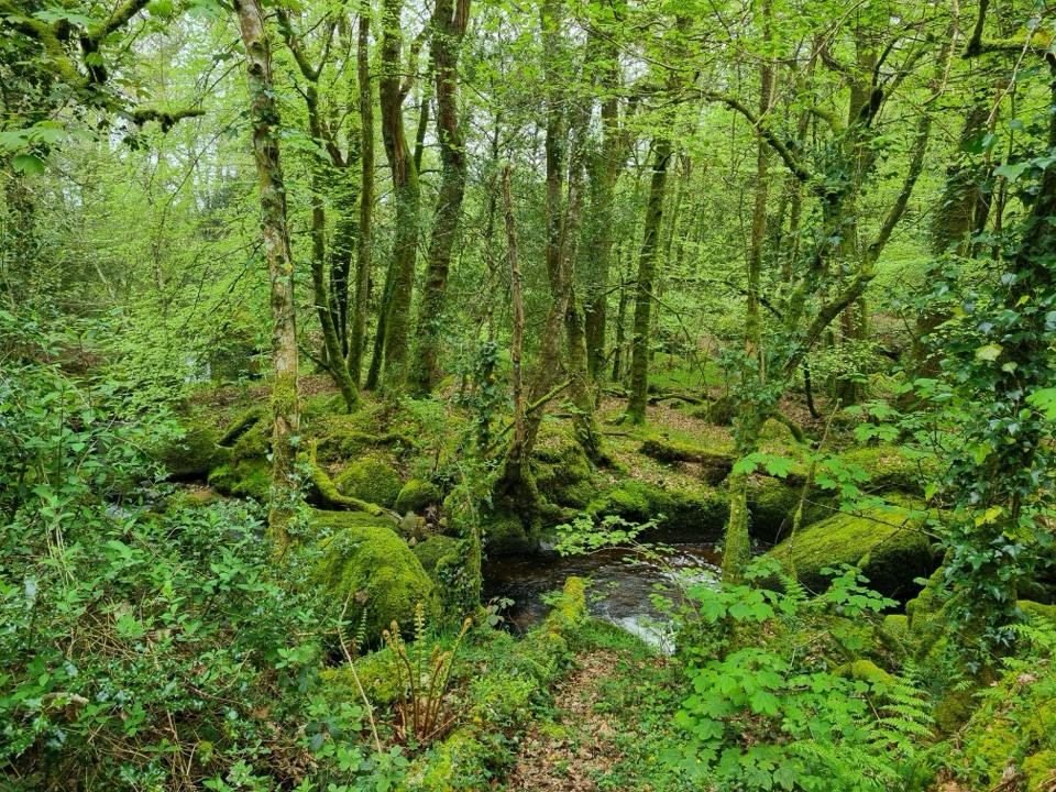 Sight · 4.8 km awayBecky Falls Woodland ParkA woodland park with a 70-foot waterfall and proper scrambling.
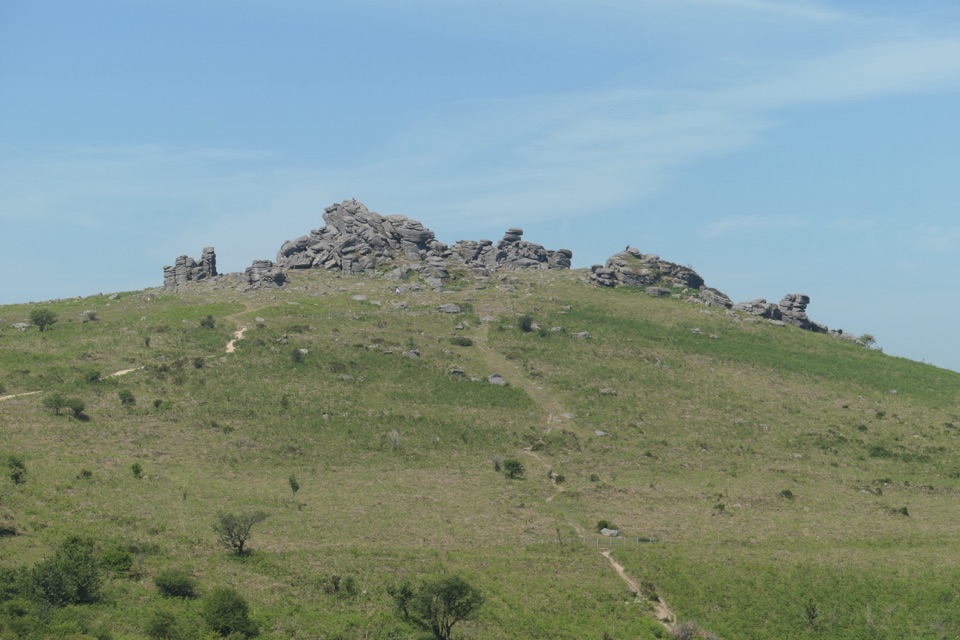 Sight · 5.2 km awayHound TorGranite stacks, open moor and a medieval village in one walk.
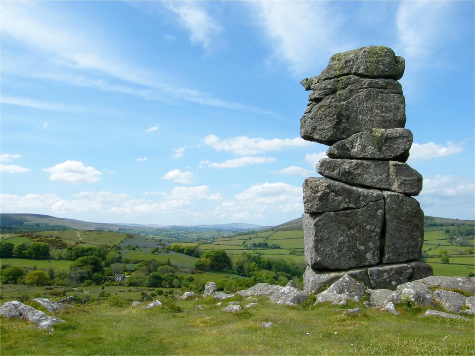 Sight · 6.3 km awayBowerman's NoseA granite stack that shifts into a human profile from different angles.
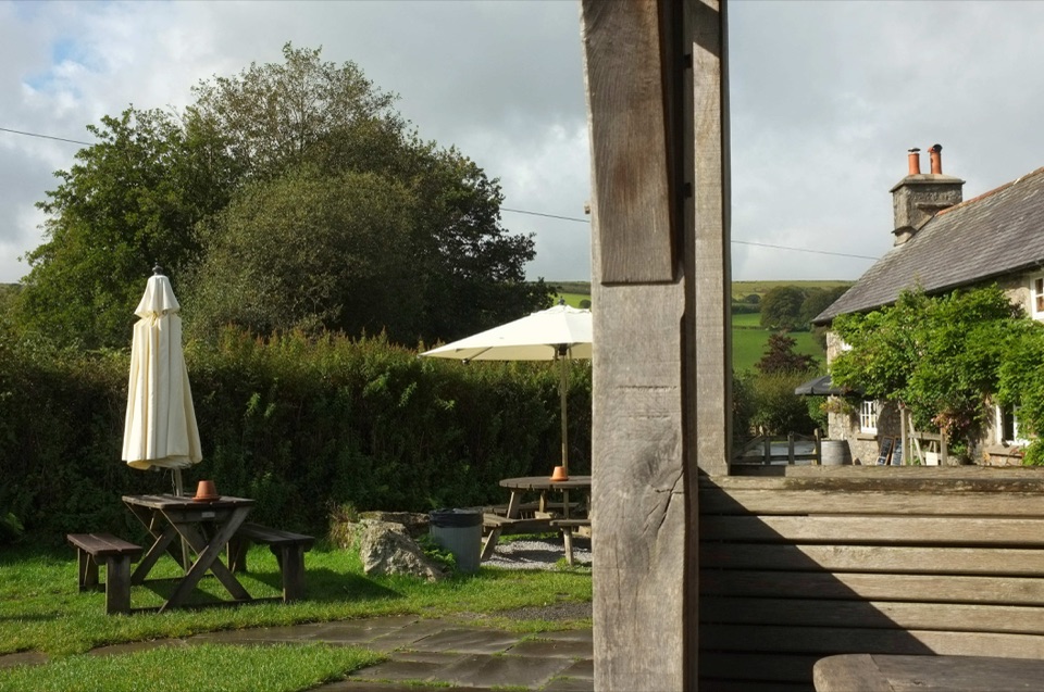 Restaurant · 6.6 km awayThe Rugglestone InnA streamside garden makes this moorland pub worth lingering over.
Parkwolf’s Dartmoor ranking

The audio tour guide for the drive, plus offline maps, trails, and wildlife heatmaps for when the signal drops.




