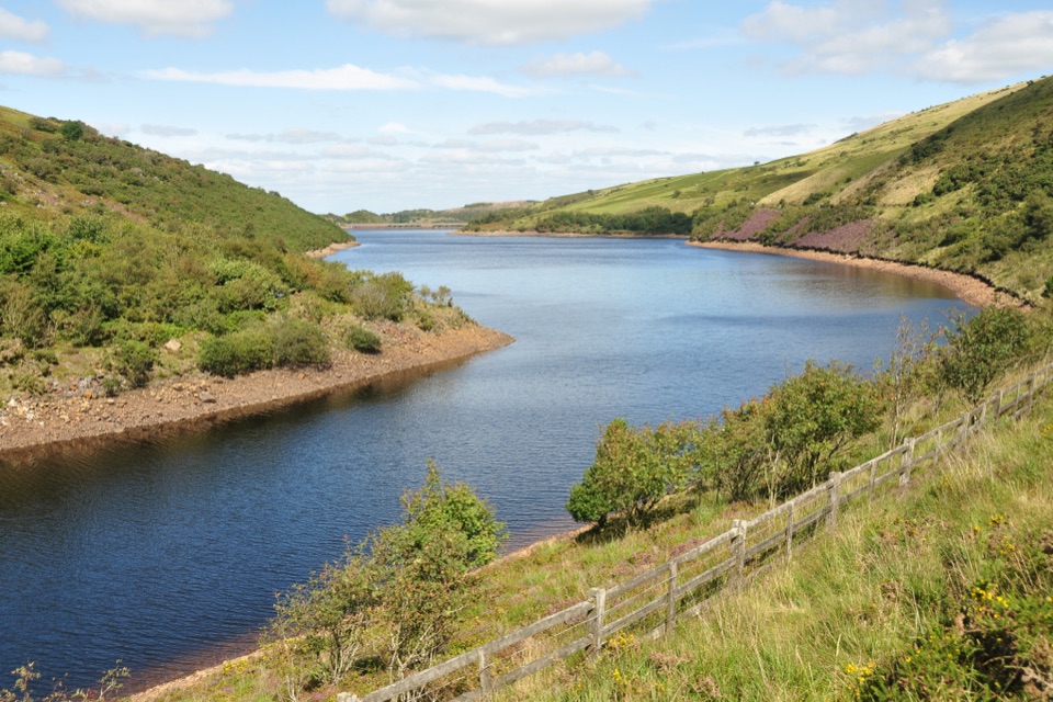
Meldon Reservoir in Dartmoor National Park

Sight · Dartmoor National Park

Meldon Reservoir

Walk the dam, then branch onto moorland and viaduct paths.

Photo: Wikimedia Commons
Type
Sight
Nearest trail
0.2 km
Audio stories
5 nearby
  • Parking
  • Restrooms
  • #19 of 46 sights

Hear the audio tour

Meldon Reservoir and Viaduct

Overview

About Meldon Reservoir

Why stop

  • High dam, broad water views and paths toward the viaduct.

Heads up

  • Steep banks limit close-to-water walking in places.

Map

Where it is

Loading the Dartmoor map
Full map
SightMeldon Reservoir50.70639, -4.03648
Keep this map with you offline in the Parkwolf app

Plan your stop

Before you go

Access and facilities

Meldon Reservoir car park has public toilets, Blue Badge bays and four 7 kW Type 2 EV charging points. The facilities are at the car park, rather than along the shore. Paths have mixed terrain. A Blue Badge bay is available, but a step-free route from the car park to the dam was not confirmed. The dam is the practical navigation point for reaching the reservoir visitor area; the named car park is just uphill and is the best starting point.


2 active Dartmoor alerts

  • CautionDartmoor military firing restricts accessDo not cross the Okehampton, Willsworthy or Merrivale training-range boundaries when warning signals are displayed.Official details
  • CautionAccess restriction at Huccaby FarmAccess to CROW Access Land at Huccaby Farm in the West Dart River Valley is subject to a current restriction notice.Official details
Dartmoor alerts
A park ranger sits on a dash-mounted phone, talking, as Parkwolf’s Tour Guide plays “Army Cutworm Moths: A Grizzly Bear Buffet” on Grand Loop Road below Dunraven Pass in Yellowstone
Parkwolf Tour GuideThe highest, rockiest slopes around here are a summer buffet for grizzly bears.

Dartmoor Tour Guide

Your drive to Meldon Reservoir, narrated.

Parkwolf is a GPS audio tour guide for Dartmoor National Park. As you drive, it chimes in with what’s ahead: hidden gems, upcoming stops, history, geology, and wildlife, right through your car’s speakers.

Recorded for this place

Meldon Reservoir and Viaduct
0:00 / 0:34
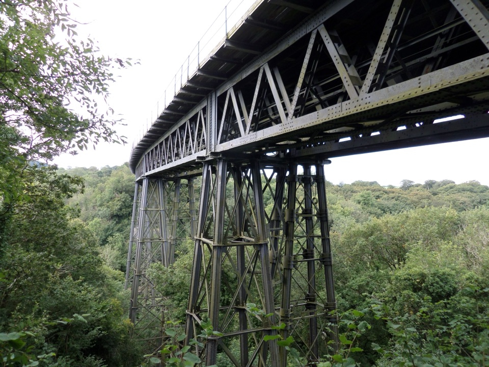
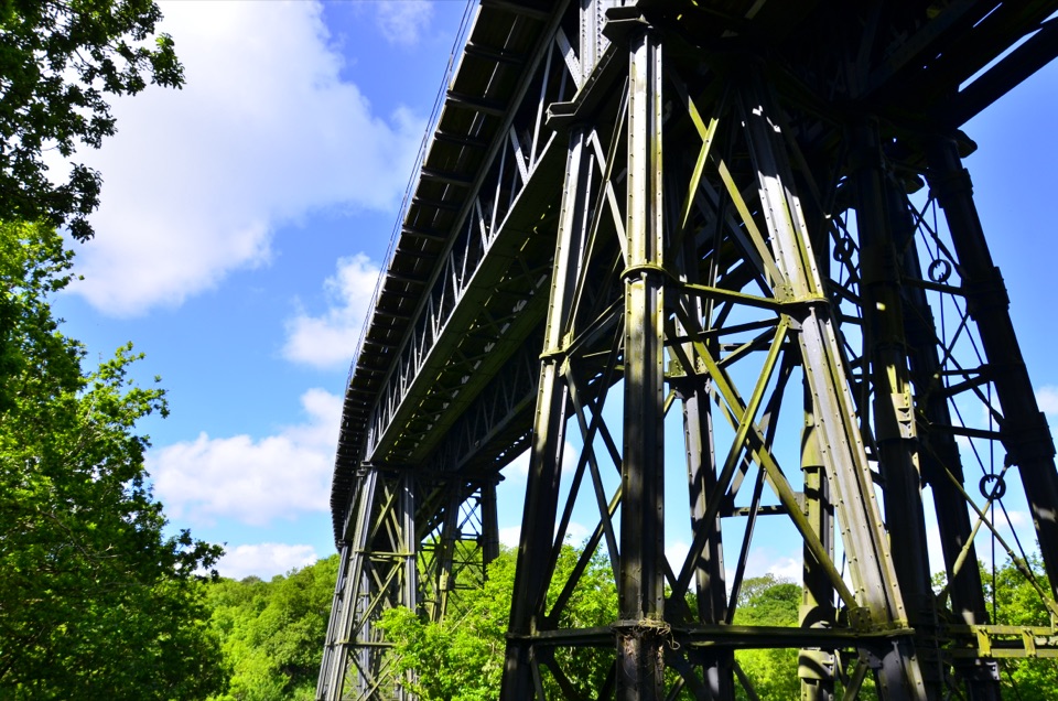
“You're approaching Meldon Reservoir, where a high dam holds the West Okement in a steep valley. I'd stop for the view from the dam: the water stretches into open moor, and Meldon Viaduct rises over the valley downstream.”

Plays as you drive up to Meldon Reservoir in the Parkwolf Dartmoor Tour Guide.

More stories near here in the app

  • The Stone Beneath the Rails
  • The Valley Meldon Changed
  • The Oak Wood Above the River
  • The Hunting Ground Beyond the Castle
  • 298 audio storiesacross Dartmoor’s roads, triggered by GPS as you drive
  • Wildlife heatmapsfor Western Roe Deer, Red Fox, European Rabbit, and 13 more
  • Works offlinemaps, 54 trails, 59 places, and audio download before you lose signal
  • CarPlay readysimple controls built for the drive
★★★★★
“Fantastic app with many points of information… It’s great to just turn on while you’re driving and it gives you an audio tour of the national Park. We love it!!!!”
JMJamesApp Store review
Download Parkwolf on the App StoreGet Parkwolf on Google Play

4.7 from 8,600+ ratings

Guide

More about Meldon Reservoir

A lake held behind a damMeldon Reservoir is a man-made lake in a steep valley near Okehampton on Dartmoor’s northern…

Meldon Reservoir is a man-made lake in a steep valley near Okehampton on Dartmoor’s northern edge. The West Okement River feeds the reservoir, and a large dam holds back the water where the valley narrows. From the shore you see broad stretches of water framed by open moorland, wooded banks and the slopes above Okement Valley. The dam is about 55 metres high and 200 metres wide, so it is a substantial piece of engineering as well as a good place to look out over the landscape. Construction began in 1970; the reservoir opened in 1972.

Walk out from the car parkThe main visitor approach starts at Meldon Reservoir car park.

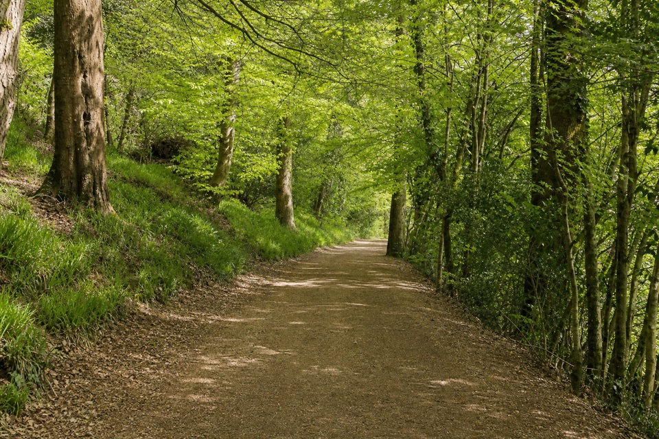
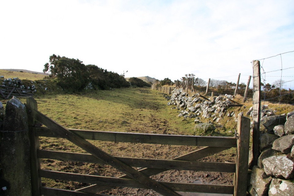
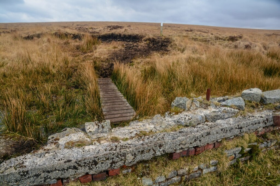
The main visitor approach starts at Meldon Reservoir car park. A sloping path leads down toward the dam, where you can stop by a bench and look across the water before heading over the dam. Other paths run beside the reservoir and climb into open moorland. The same car park is a starting point for walks toward Meldon Viaduct and the old quarry, so it is easy to make this more than a quick look at the water. Steep banks limit access in places, so do not count on following the whole shoreline close to the water.

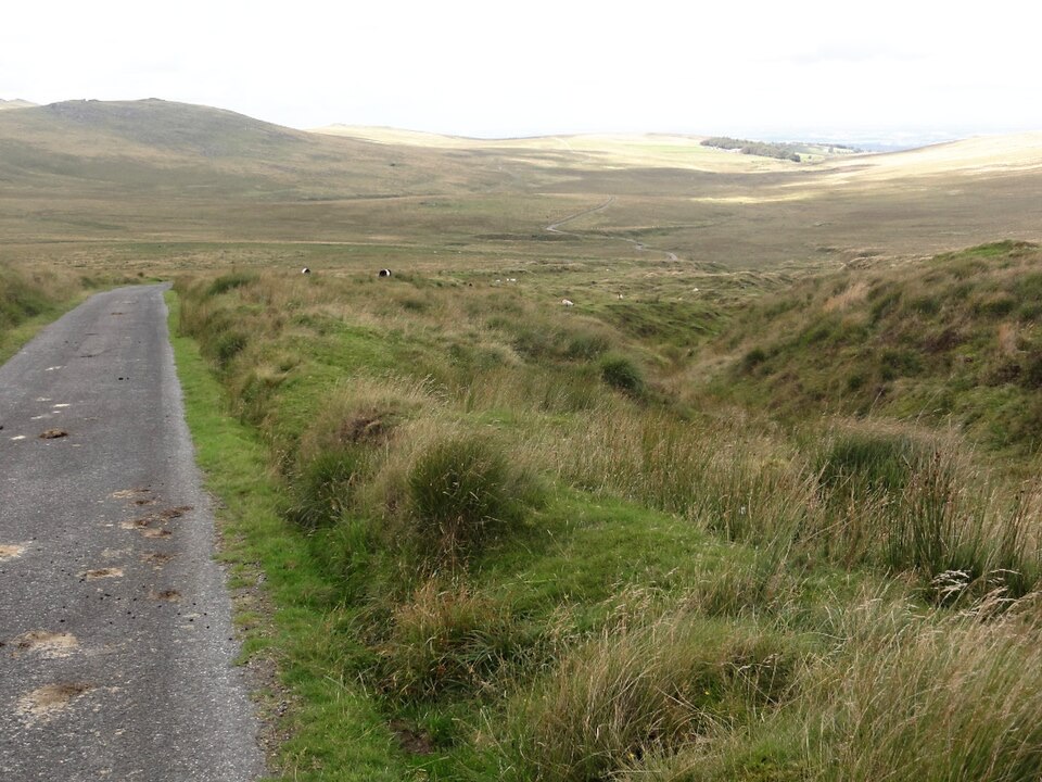
Look back from the moorThe reservoir sits in a striking mix of water, steep valley sides and open moorland.

The reservoir sits in a striking mix of water, steep valley sides and open moorland. From the dam, include a slope and some of the valley with the water to show where the reservoir sits; a tight crop of the water loses that context. If you want a higher view, take one of the paths climbing onto the moor and look back over the water. This is a scenic walking stop, with extra interest if you like the industrial landscape around the viaduct and quarry.

Wildlife

Wildlife in Dartmoor

All Dartmoor wildlife maps

Sighting maps show where each species has been reported across Dartmoor. Wildlife moves, so no sighting is guaranteed.

Parkwolf’s Dartmoor ranking

Top sights in Dartmoor

All 59 places
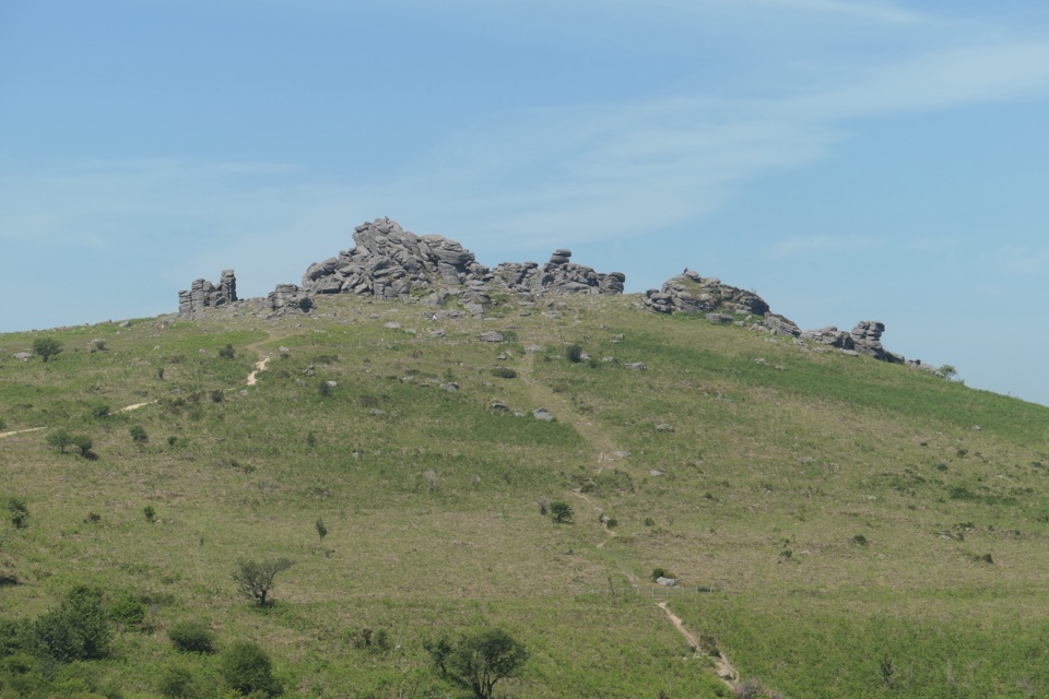
  1. 1Haytor RocksSight
  2. 2Postbridge Clapper BridgeSight
  3. 3Hound TorSight
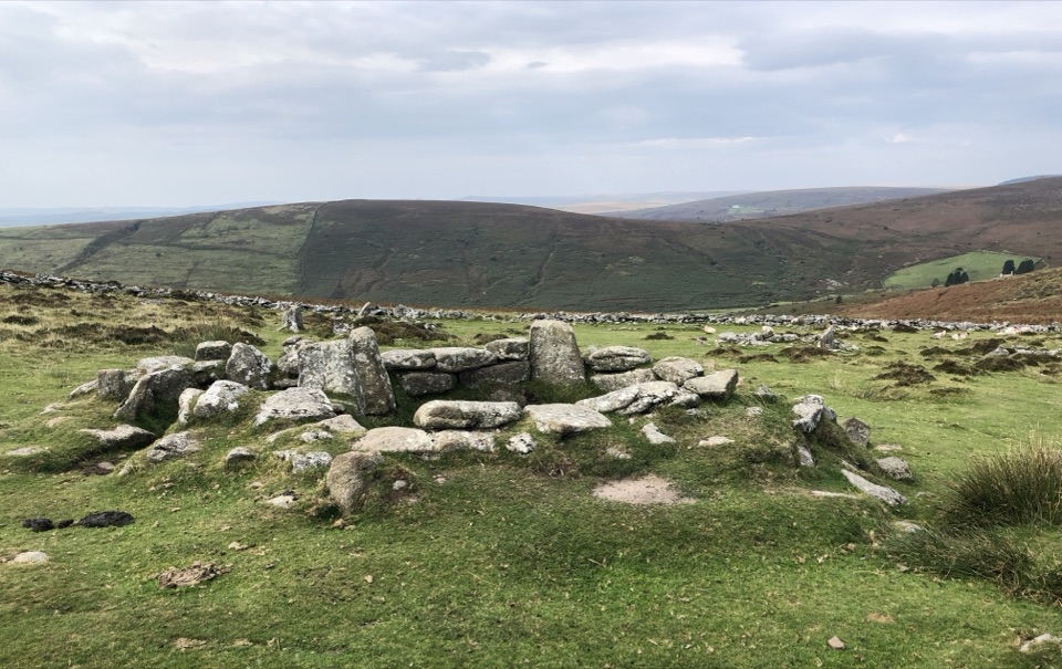
  4. 4GrimspoundSight
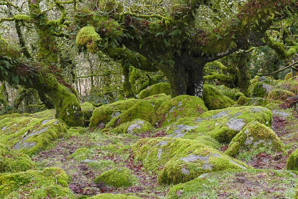
  5. 5Wistman’s WoodSight
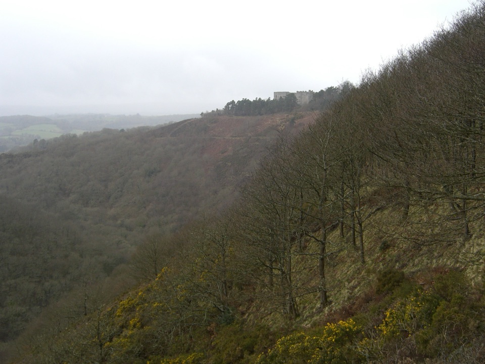
  6. 6Castle DrogoSight

Take Parkwolf to Dartmoor.

The audio tour guide for the drive, plus offline maps, trails, and wildlife heatmaps for when the signal drops.

4.7 from 8,600+ ratings

Download Parkwolf on the App StoreGet Parkwolf on Google Play