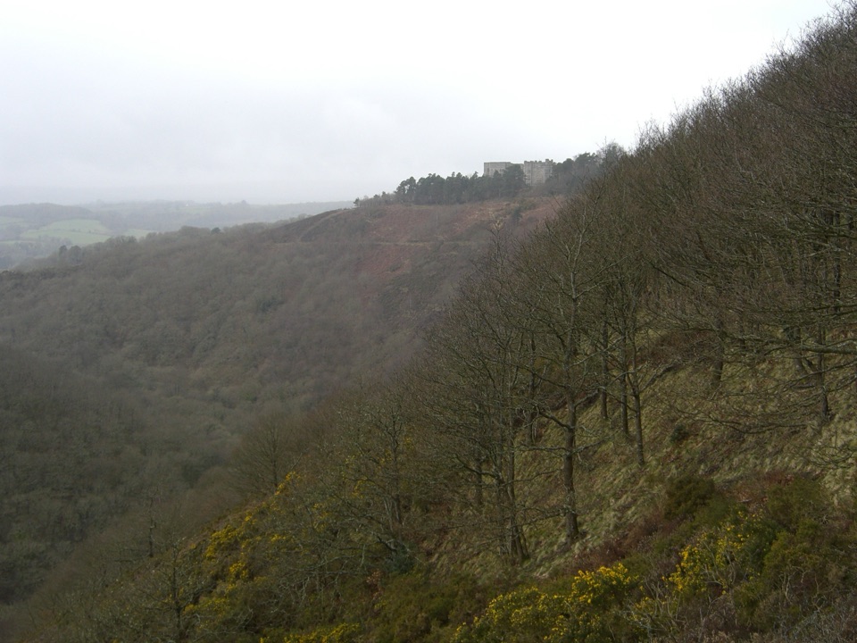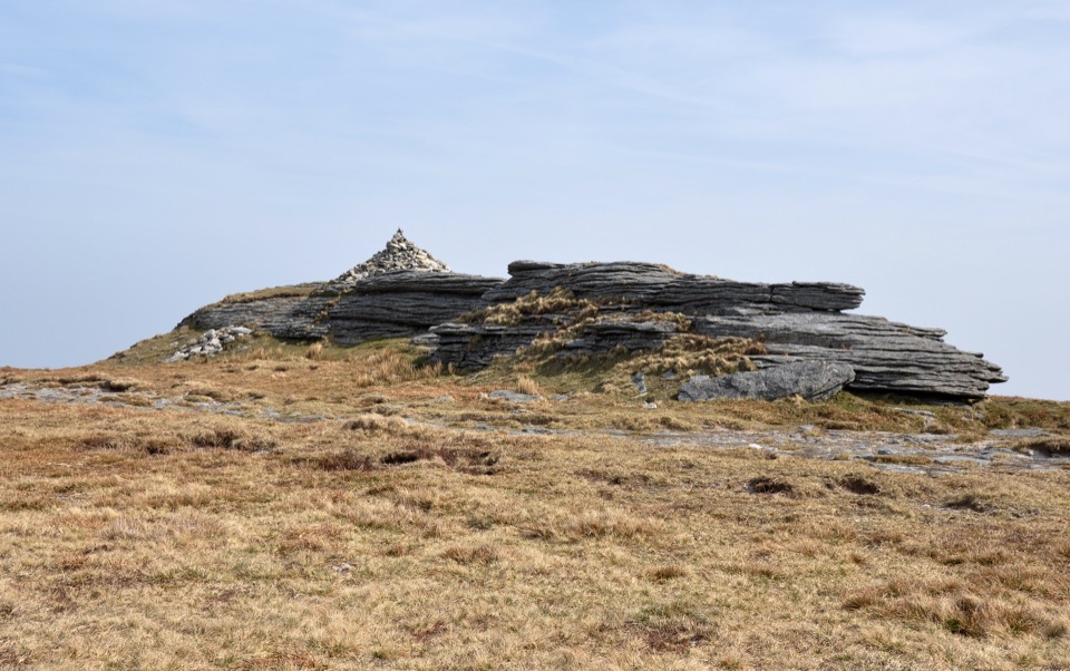
High Willhays in Dartmoor National Park

Sight · Dartmoor National Park

High Willhays

Southern England’s highest point, with rugged views from an open summit.

Photo: Wikimedia Commons
Type
Sight
Nearest trail
3.2 km
  • Scenic viewpoint

Hear the audio tour

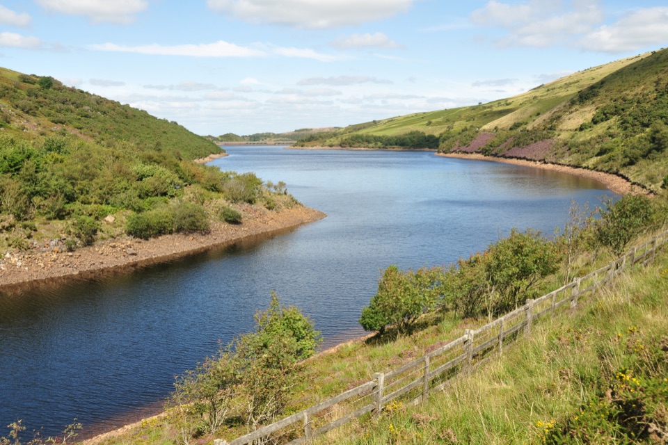
Meldon Reservoir and Viaduct

Overview

About High Willhays

Why stop

  • Dartmoor’s highest summit
  • Open views across the north moor

Heads up

  • Exposed weather and military firing restrictions
  • Requires a substantial walk from road access

Map

Where it is

Loading the Dartmoor map
Full map
SightHigh Willhays50.68522, -4.01115
Keep this map with you offline in the Parkwolf app

Plan your stop

Before you go

2 active Dartmoor alerts

  • CautionDartmoor military firing restricts accessDo not cross the Okehampton, Willsworthy or Merrivale training-range boundaries when warning signals are displayed.Official details
  • CautionAccess restriction at Huccaby FarmAccess to CROW Access Land at Huccaby Farm in the West Dart River Valley is subject to a current restriction notice.Official details

Dartmoor alerts
A park ranger sits on a dash-mounted phone, talking, as Parkwolf’s Tour Guide plays “Army Cutworm Moths: A Grizzly Bear Buffet” on Grand Loop Road below Dunraven Pass in Yellowstone
Parkwolf Tour GuideThe highest, rockiest slopes around here are a summer buffet for grizzly bears.

Dartmoor Tour Guide

Your drive to High Willhays, narrated.

Parkwolf is a GPS audio tour guide for Dartmoor National Park. As you drive, it chimes in with what’s ahead: hidden gems, upcoming stops, history, geology, and wildlife, right through your car’s speakers.

Recorded for this place

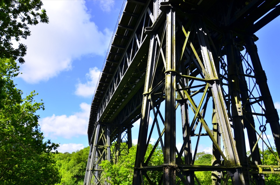
Meldon Reservoir and Viaduct
0:00 / 0:34
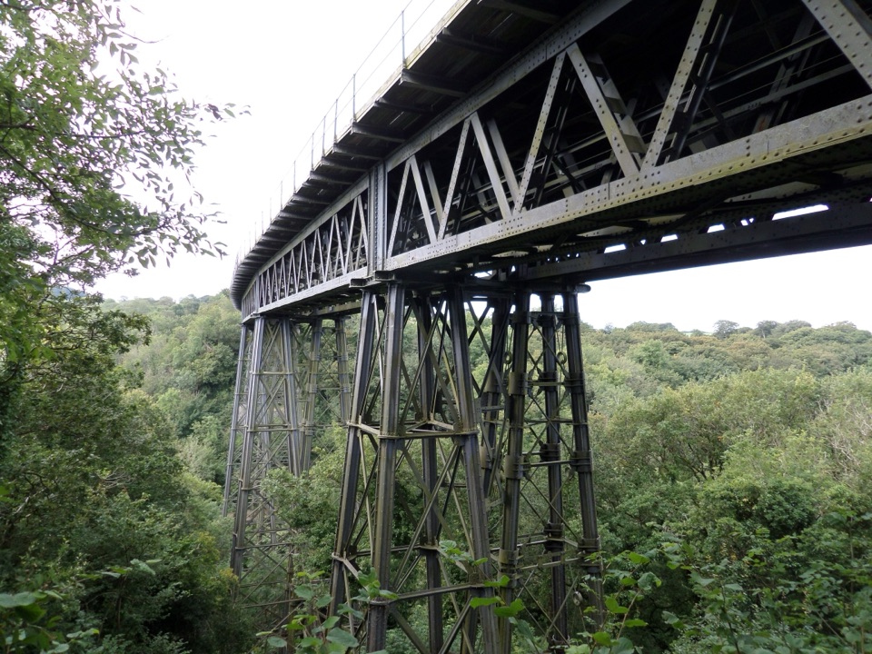
“You're approaching Meldon Reservoir, where a high dam holds the West Okement in a steep valley. I'd stop for the view from the dam: the water stretches into open moor, and Meldon Viaduct rises over the valley downstream.”

Plays as you drive up to High Willhays in the Parkwolf Dartmoor Tour Guide.

More stories near here in the app

  • The Bells That Woke Eleanor
  • The Stone Beneath the Rails
  • The Valley Meldon Changed
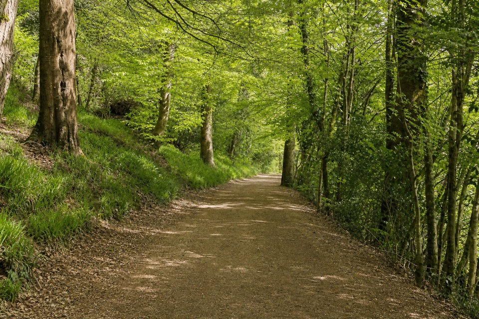
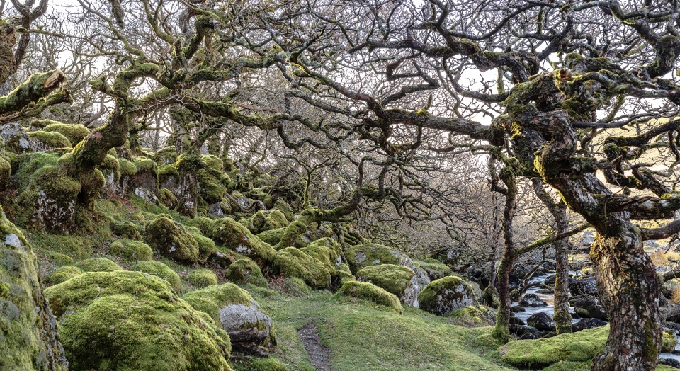
  • The Oak Wood Above the River
  • 298 audio storiesacross Dartmoor’s roads, triggered by GPS as you drive
  • Wildlife heatmapsfor Western Roe Deer, Red Fox, European Rabbit, and 13 more
  • Works offlinemaps, 54 trails, 59 places, and audio download before you lose signal
  • CarPlay readysimple controls built for the drive
★★★★★
“Fantastic app with many points of information… It’s great to just turn on while you’re driving and it gives you an audio tour of the national Park. We love it!!!!”
JMJamesApp Store review
Download Parkwolf on the App StoreGet Parkwolf on Google Play

4.7 from 8,600+ ratings

Guide

More about High Willhays

The high pointHigh Willhays is a granite summit on Dartmoor’s northwestern edge, rising to 621 metres (2,039…

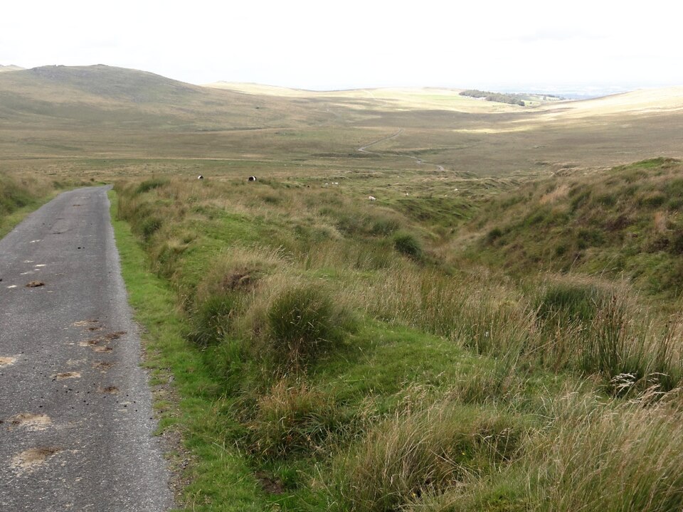
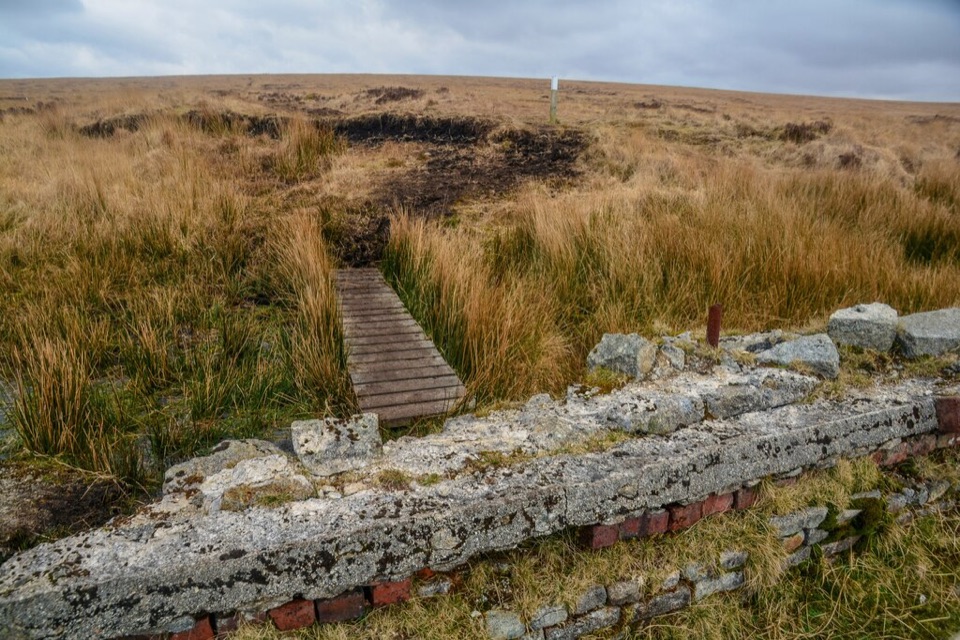
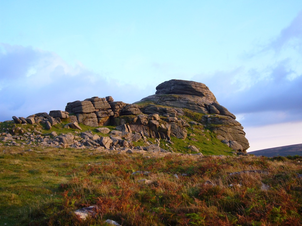
High Willhays is a granite summit on Dartmoor’s northwestern edge, rising to 621 metres (2,039 feet) as the highest point on the moor and in Southern England. It is not a huge isolated cliff: the top is a broad, open north–south ridge with a few low rocky outcrops and a cairn on the highest one. That modest shape is part of the appeal. You come for the high point, open moorland and the sense of being on the roof of the landscape.

Go for the summit, stay for the ridgeThe summit gives you space and distance rather than a single theatrical rock wall.

The summit gives you space and distance rather than a single theatrical rock wall. On a clear day, the view opens over the West Okement valley, Meldon and the Devon lowlands; looking south, Fur Tor is visible on the horizon. Yes Tor, about 1 kilometre north, is lower but has the more dramatic granite formation, so the two peaks make a natural pair. If you only want the most impressive tor, Yes Tor is the stronger visual stop; if the highest point matters, High Willhays is the one to reach.

A proper moorland walkThere is no drive-up viewpoint. The usual approach starts at Meldon Dam, about 1.

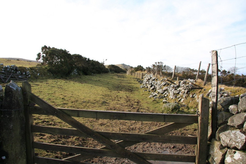
There is no drive-up viewpoint. The usual approach starts at Meldon Dam, about 1.5 miles away, and follows a walking circuit that can take in both summits; route versions range from roughly 12 to 14 kilometres round trip. Expect open, exposed ground rather than a surfaced path, with navigation becoming more important when cloud comes down. Meldon’s car park has toilets and an area map, useful before setting out, but there are no reported visitor facilities at the summit.

Before you set outHigh Willhays lies inside the Okehampton military training range.

High Willhays lies inside the Okehampton military training range. Public access is available when the range is not in live use, but you must check the current Dartmoor firing programme and obey the red flags or red lamps. For the photo, frame the cairn with the layered outcrop, or look north along the ridge to include Yes Tor; the second view explains why the two summits are best experienced together.

Wildlife

Wildlife in Dartmoor

All Dartmoor wildlife maps

Sighting maps show where each species has been reported across Dartmoor. Wildlife moves, so no sighting is guaranteed.

Keep exploring

Near High Willhays

See it all on the map

Trails nearby

More stops nearby

Parkwolf’s Dartmoor ranking

Top sights in Dartmoor

All 59 places
  1. 1Haytor RocksSight
  2. 2Postbridge Clapper BridgeSight
  3. 3Hound TorSight
  4. 4GrimspoundSight
  5. 5Wistman’s WoodSight
  6. 6Castle DrogoSight

Take Parkwolf to Dartmoor.

The audio tour guide for the drive, plus offline maps, trails, and wildlife heatmaps for when the signal drops.

4.7 from 8,600+ ratings

Download Parkwolf on the App StoreGet Parkwolf on Google Play