Parking
The stated start is Fox and Hounds car park near Lydford, which belongs to the pub. The leaflet also identifies Dartmoor Inn car park about 1.5 km south as another approach; check current parking permission and terms before setting out.
Dartmoor National Park
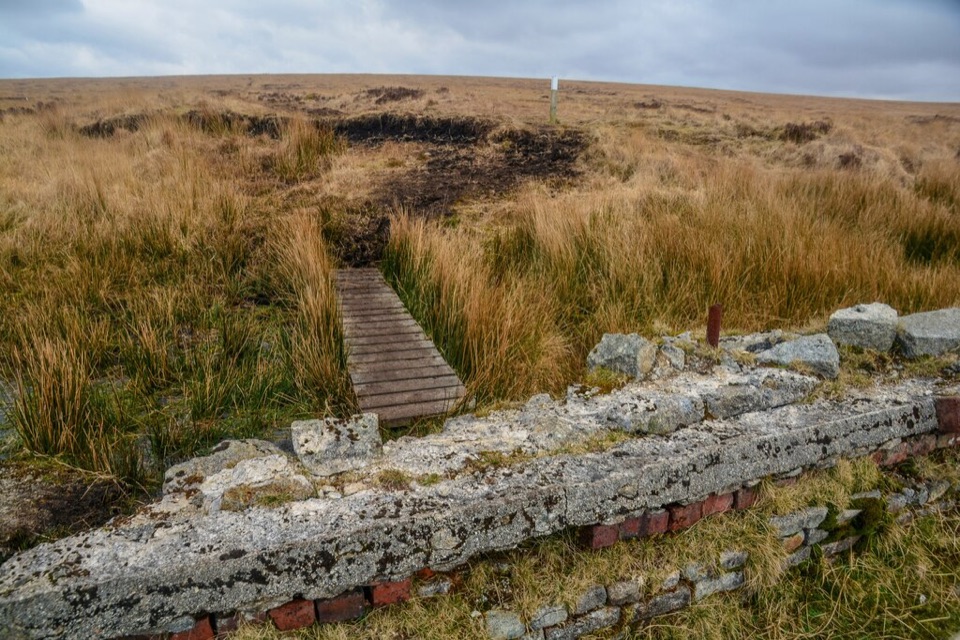
An old peat railway leads across Dartmoor's rough, wet blanket bog.
Overview
Map & elevation
Plan your hike

The highest, rockiest slopes around here are a summer buffet for grizzly bears.
Dartmoor Tour Guide
Parkwolf is a GPS audio tour guide for Dartmoor National Park. As you drive, it chimes in with what’s ahead: hidden gems, upcoming stops, history, geology, and wildlife, right through your car’s speakers.
Recorded for this area
Lydford Before the Castle“Lydford was once more than the small village you see now. In Saxon times it was a fortified town with its own mint. Deep river valleys guarded two sides, and people built an earth bank across the third.”
Plays on the road 1.5 km from the trailhead in the Parkwolf Dartmoor Tour Guide.
More stories near here in the app
“Fantastic app with many points of information… It’s great to just turn on while you’re driving and it gives you an audio tour of the national Park. We love it!!!!”


Trail guide
The Lyd Head and Rattlebrook Circular Walk is a 10 km (6.2 mi) loop from Fox and Hounds car park across open moorland and rough blanket bog. Its old peat railway leads to the Rattlebrook peat workings and views across the mire. Allow at least five hours. The leaflet’s 13 km (8 mi) map figure includes 3 km of optional bog spurs; Great Links Tor is a separate extension. Expect a demanding walk that needs confident navigation.
From Fox and Hounds, pass Nodden Gate and King Wall to Great Nodden, then join the railway’s stone track. It passes old mineral workings and the Lyd headwaters before crossing the Rattlebrook mire along railway cutting and embankment. Peat-work remains sit among wet bog, with rough stone underfoot rather than a continuous boardwalk. After the second brook crossing, the peat path looks across the mire toward Green Tor and Bleak House, with Fur Tor beyond.
Return via Lower Dunna Goat and cross the Lyd by ford; a footbridge is about 500 m downstream if water is high. The river headwaters can be hard to follow, so use a map and compass and avoid inclement weather. The loop avoids the firing range; heed notices. Dogs need a fixed lead no longer than 2 m from 1 March to 31 July; keep them under close control otherwise. Fox and Hounds car park belongs to the pub, so check parking permission and terms.
Wildlife
 32 sightingsWestern Roe DeerMost seen around 7 AMSighting map
 10 sightingsRed FoxMost seen around 7 PMSighting map
 37 sightingsEuropean RabbitMost seen around 7 AMSighting map
 19 sightingsGrey HeronMost seen around 7 PMSighting map
 34 sightingsGreat Spotted WoodpeckerMost seen around 7 AMSighting map
 20 sightingsCommon RavenMost seen around 8 AMSighting map
Sighting maps show where each species has been reported across Dartmoor. Wildlife moves, so no sighting is guaranteed.
Keep exploring
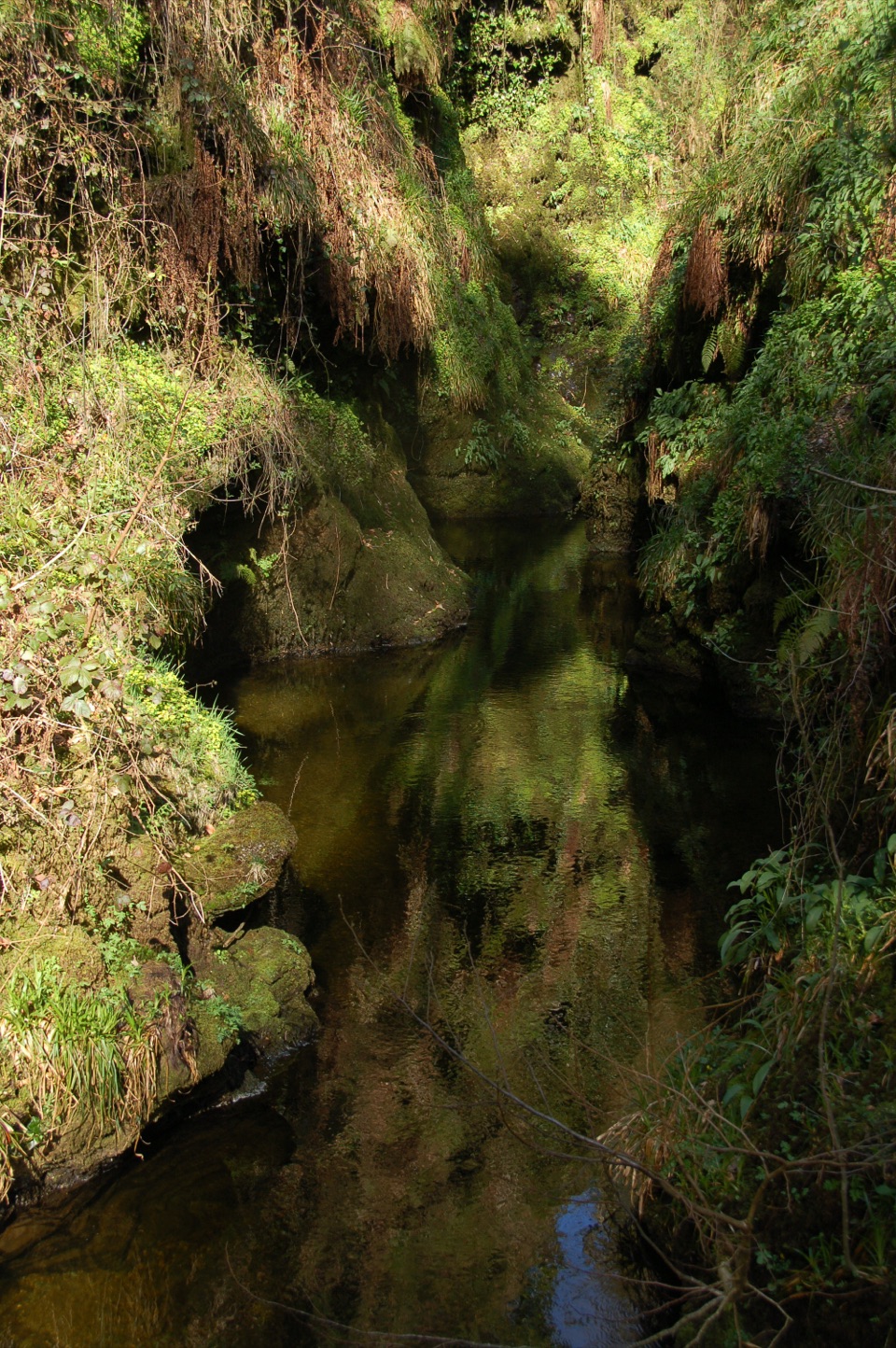 ModerateDevil's Cauldron Trail1.3 km · 40 min · 2.8 km awayA short steep walk to the roaring whirlpool under the gorge walls
 ModerateLydford Gorge Waterfall Trail2.8 km · 1.5 hr · 4.2 km awayA steep gorge circuit to a 30-metre waterfall.
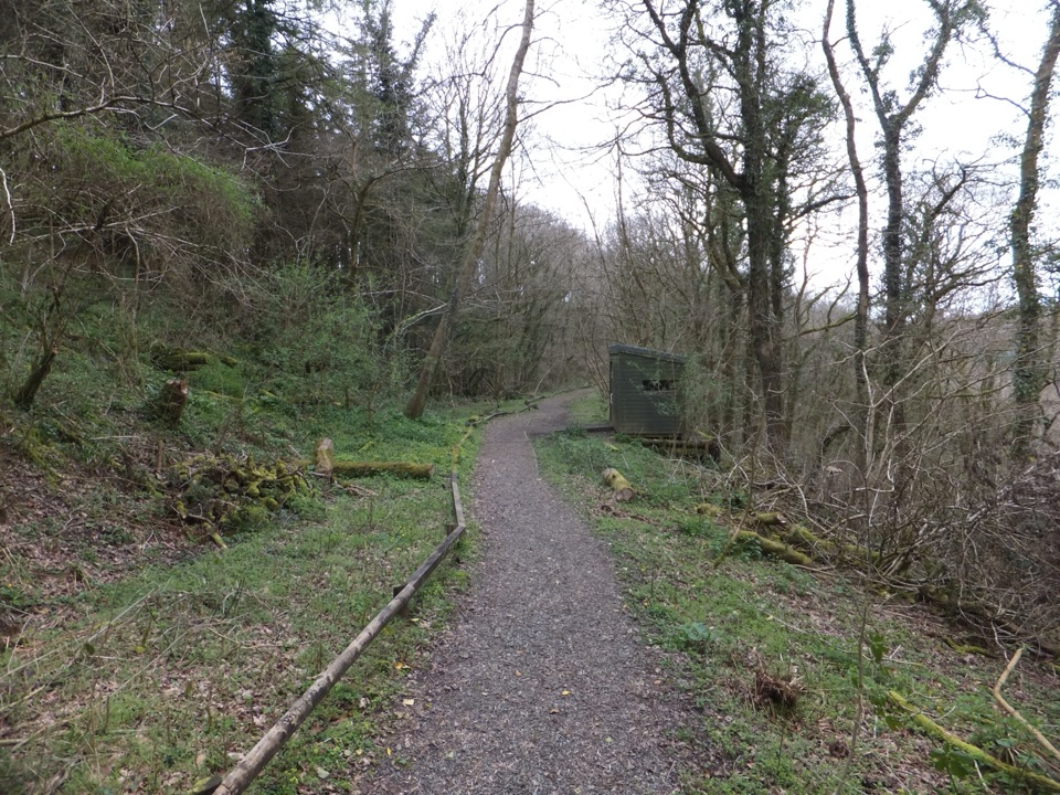 EasyLydford Gorge Railway Path1.6 km · 30 min · 4.2 km awayA short railway cutting walk, with a steeper woodland way back.
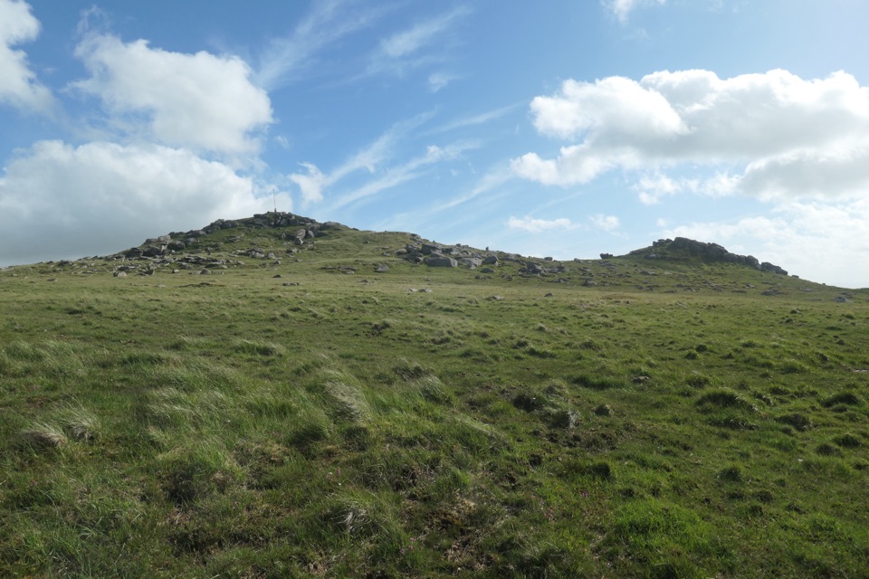 ModerateTavy Cleave and Hare Tor Circular7.1 km · 3 hr · 4.5 km awayA boulder-filled river gorge, boggy moor and two tors in one loop.
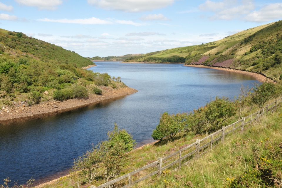 ModerateMeldon Reservoir and Black Tor Walk7.4 km · 3 hr · 6.2 km awayReservoir shores lead to a rough climb above the West Okement.
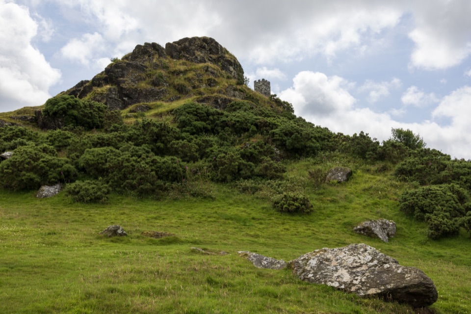 EasyBrent Tor Walk0.8 km · 30 min · 8.4 km awayA short, steep climb to a church above the moor.
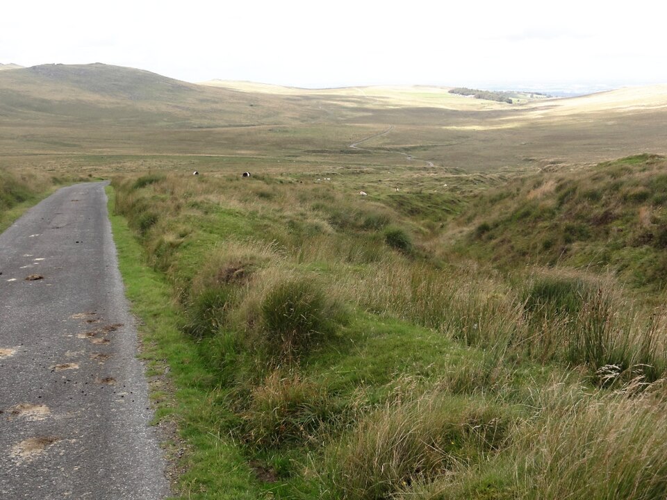 ModerateOkehampton Military Ring Road Walk10 km · 3 hr · 9 km awayA rough, open moorland circuit with a real ford crossing.
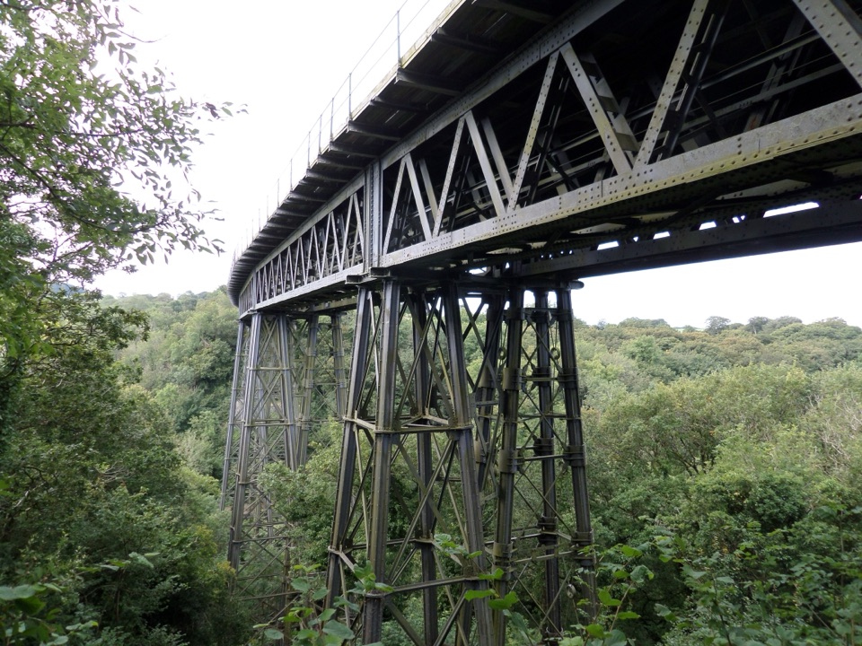 ModerateThe Granite Way17.7 km · 4.5 hr · 10 km awayA long rail trail to Lydford, crossing two Dartmoor viaducts.
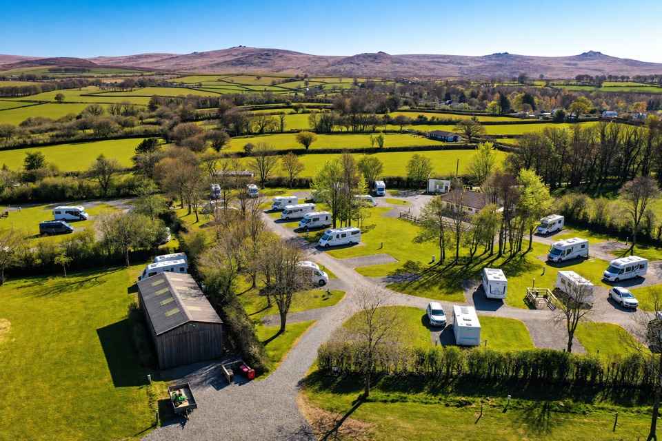 Campground · 1.9 km awayLydford Caravan & Camping ParkA quiet campsite with wide moorland views and a handy village base.
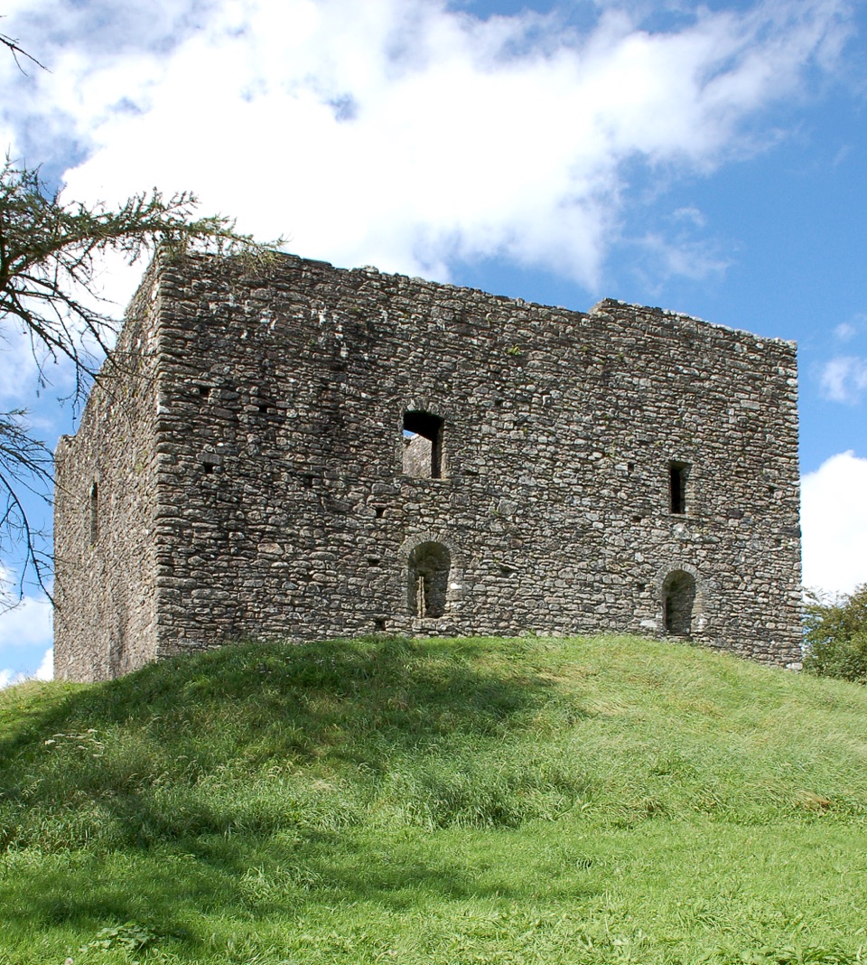 Sight · 2.5 km awayLydford CastleA ruined prison tower with a vivid medieval justice story.
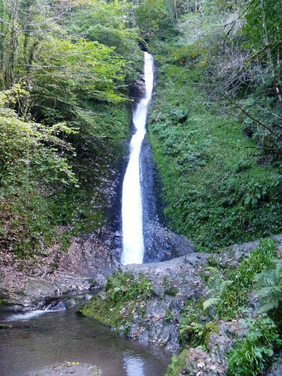 Sight · 2.8 km awayLydford GorgeTwo waterfalls, steep paths and the River Lyd in a deep gorge.
 Sight · 4.7 km awayBlack-a-Tor CopseMoss-draped oaks and boulders on a wilder walk into the moor
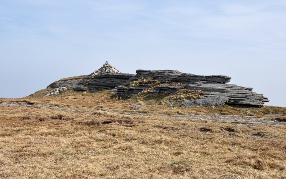 Sight · 6 km awayHigh WillhaysSouthern England’s highest point, with rugged views from an open summit.Sight · 6.2 km awayMeldon ReservoirWalk the dam, then branch onto moorland and viaduct paths.
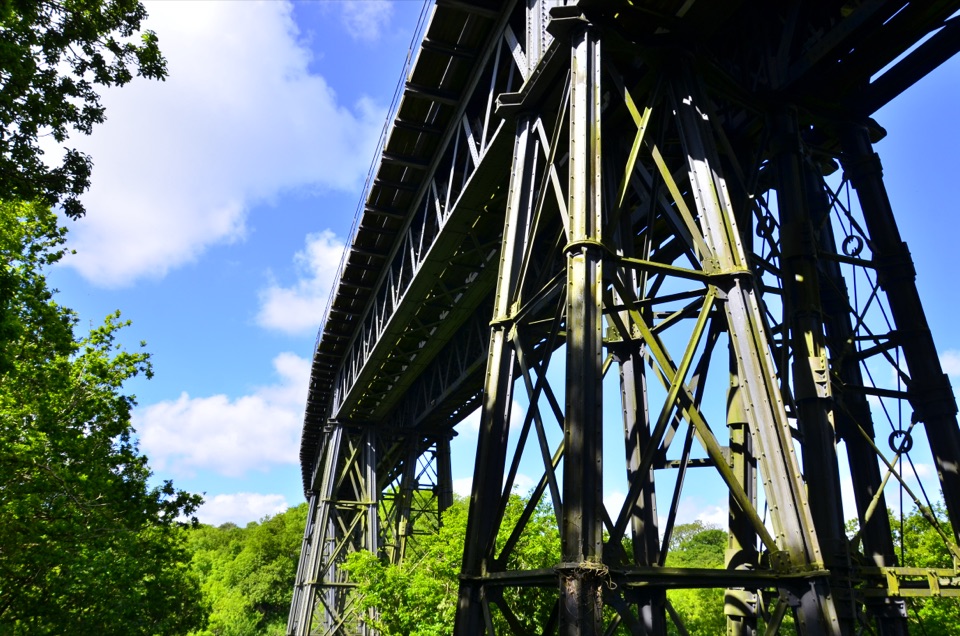 Sight · 6.9 km awayMeldon ViaductA Victorian iron crossing above the West Okement valley
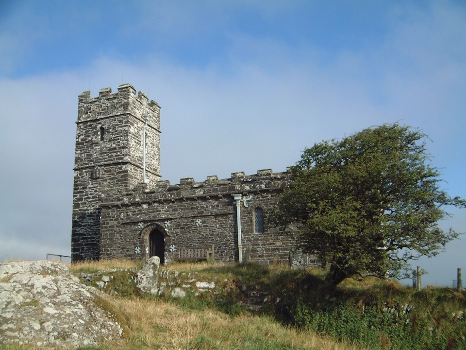 Sight · 8.3 km awaySt Michael de Rupe ChurchA tiny hilltop church with wide views beyond the tor.
Parkwolf’s Dartmoor ranking

The audio tour guide for the drive, plus offline maps, trails, and wildlife heatmaps for when the signal drops.




