Parking
Start by the Museum of Dartmoor Life / Tourist Information Centre in Okehampton and finish at Launceston Castle. This is point-to-point with no return loop; parking is limited along the route, so plan your return before setting out.
Dartmoor National Park
Two castles linked by a long walk through changing country.
Overview
Map & elevation
Plan your hike

The highest, rockiest slopes around here are a summer buffet for grizzly bears.
Dartmoor Tour Guide
Parkwolf is a GPS audio tour guide for Dartmoor National Park. As you drive, it chimes in with what’s ahead: hidden gems, upcoming stops, history, geology, and wildlife, right through your car’s speakers.
Recorded for this area
Okehampton’s Railway Returns“Rail first reached Okehampton in eighteen seventy-one. Regular trains to Exeter stopped in nineteen seventy-two, although summer services later returned. Local campaigners kept pressing for a year-round connection.”
Plays on the road 0.6 km from the trailhead in the Parkwolf Dartmoor Tour Guide.
More stories near here in the app
“Fantastic app with many points of information… It’s great to just turn on while you’re driving and it gives you an audio tour of the national Park. We love it!!!!”


Trail guide
The Two Castles Trail is a 24-mile, one-way walk from the Museum of Dartmoor Life in Okehampton to Launceston Castle. Starting at Dartmoor’s edge, it crosses open moor, woods, farmland and villages, then continues west into Cornwall. The waymarked route has four stages of 7, 7, 5 and 5 miles. Walking it straight through takes roughly 9 to 12 hours. This is a challenging full-day hike, or a route to split over several days if you want time for the villages and history along the way. The attraction is the changing countryside and the two historic endpoints; this isn’t a continuous wilderness trail.
The first stage begins in central Okehampton and follows town streets past Jacobs Pool before reaching Old Town Park. From there the surface changes often: a surfaced bridleway shared with vehicles, a crossing of the golf course and a path along the West Okement. The route climbs steeply away from the river below Meldon Viaduct, then reaches open moorland with Sourton Tors ahead. This is the trickiest stretch to follow: waymarks can’t be placed across the moor, and the path is faint grass with a shallow cut between stone walls. Watch for that cut instead of following another tempting line across the grass.
From Sourton, paths and lanes pass into and out of the village before crossing fields to Bridestowe. Expect gates and plenty of stiles. The climb out of the river valley, rougher field paths and road crossings make the first seven miles feel more like a country walk than a groomed park trail.
Stage two descends from Bridestowe to Watergate, then follows uneven woodland tracks and fields with regular climbs. There is a steep descent from Galford Down. The trail uses a short private path by landowner permission near Burley Down, so stick to the marked route; the nearby Iron Age earthworks and a possible Norman site are private and not open for visits.
The Lewdown-to-Lifton stage has more road walking, mixed with uneven fields and gates. Stowford Church contains a sixth-century memorial stone, a striking early-Christian relic along an otherwise practical stretch. There are river crossings at Stowford Bridge and over the River Wolf. Later you cross the River Tamar at Polson Bridge, once a main entry into Cornwall. It was first recorded in 1338; the present bridge dates to the mid-19th century.
The last five miles are mainly roads and field edges. After Polson Bridge the trail crosses into Cornwall, then climbs steeply through Launceston to the castle. You’ll have 24 miles behind you before that last climb. The long distance and repeated ascents, uneven footing, stiles, traffic and open moor make this a hard day; allow the 9-to-12-hour range rather than planning on a fast walk.
Start at the Museum of Dartmoor Life / Tourist Information Centre and finish at Launceston Castle. There is no loop back to Okehampton, and parking is limited along the route, so decide how you’ll return before you set off. The route is split into four useful stages, but verify current transport options before relying on them. It can be particularly muddy on woodland tracks and fields after heavy rain. In the Sourton section, don’t wander onto nearby land to investigate the old earthworks; stay on the waymarked track.
Wildlife
 32 sightingsWestern Roe DeerMost seen around 7 AMSighting map
 10 sightingsRed FoxMost seen around 7 PMSighting map
 37 sightingsEuropean RabbitMost seen around 7 AMSighting map
 19 sightingsGrey HeronMost seen around 7 PMSighting map
 34 sightingsGreat Spotted WoodpeckerMost seen around 7 AMSighting map
 20 sightingsCommon RavenMost seen around 8 AMSighting map
Sighting maps show where each species has been reported across Dartmoor. Wildlife moves, so no sighting is guaranteed.
Keep exploring
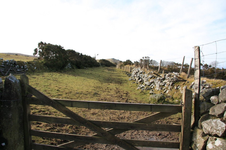
 ChallengingWest Devon Way59.5 km · 15.5 hr · 0.5 km awayMoorland tors give way to river valleys on this 37-mile crossing.
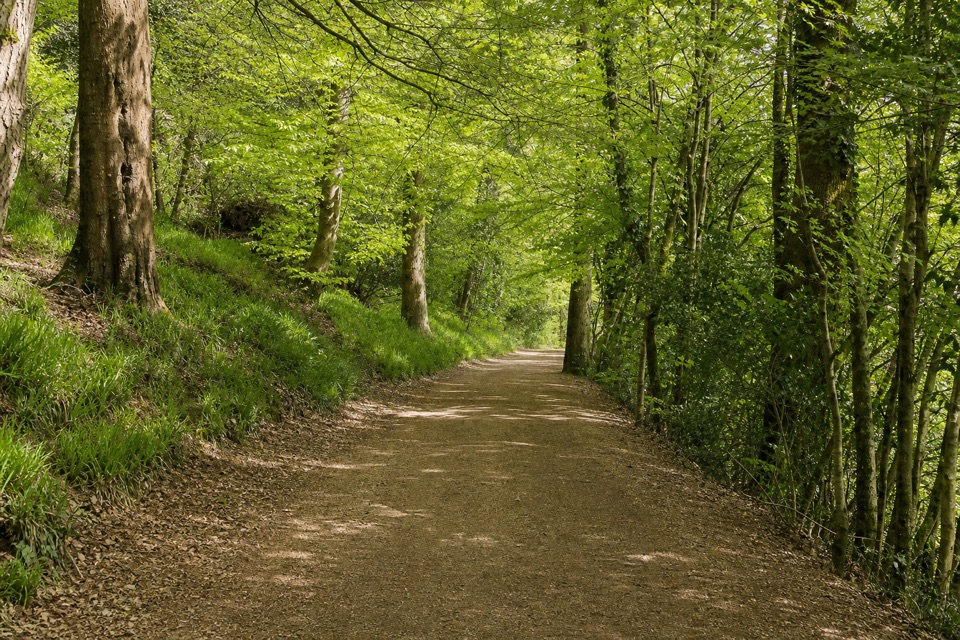
 ModerateThe Granite Way17.7 km · 4.5 hr · 0.8 km awayA long rail trail to Lydford, crossing two Dartmoor viaducts.
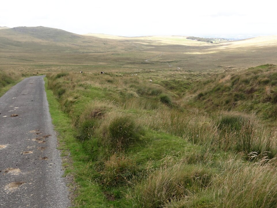 ModerateOkehampton Military Ring Road Walk10 km · 3 hr · 3 km awayA rough, open moorland circuit with a real ford crossing.
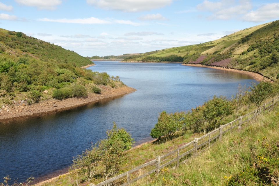 ModerateMeldon Reservoir and Black Tor Walk7.4 km · 3 hr · 4.3 km awayReservoir shores lead to a rough climb above the West Okement.
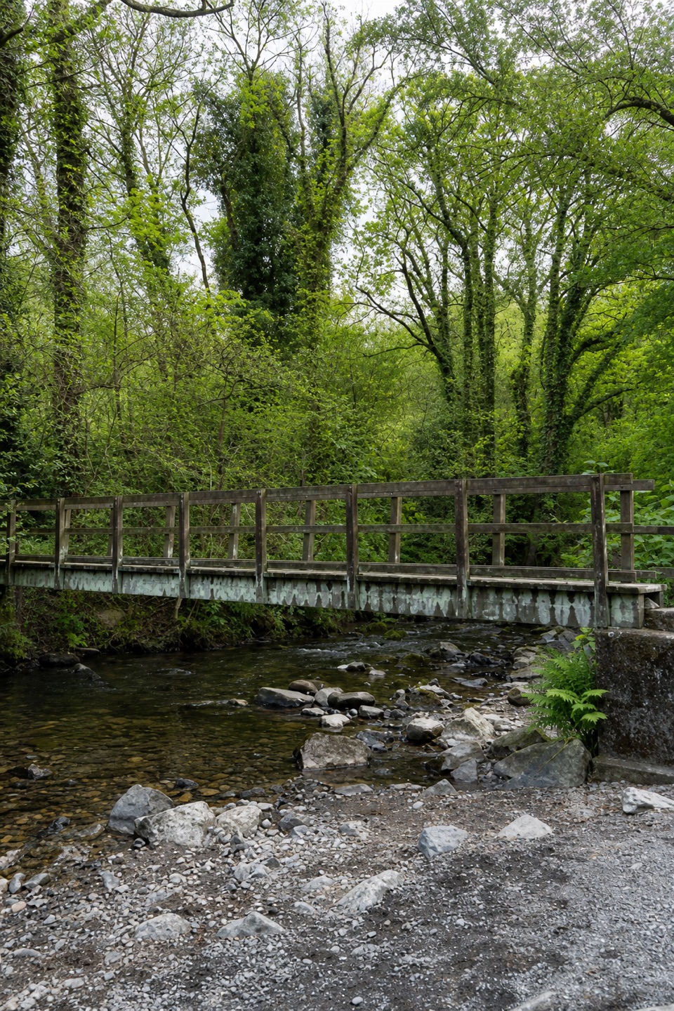 EasyWalk in the Footsteps of Tom Pearse2.7 km · 1 hr · 5.5 km awayA short riverside circuit past the leat, weir and Ladywell.
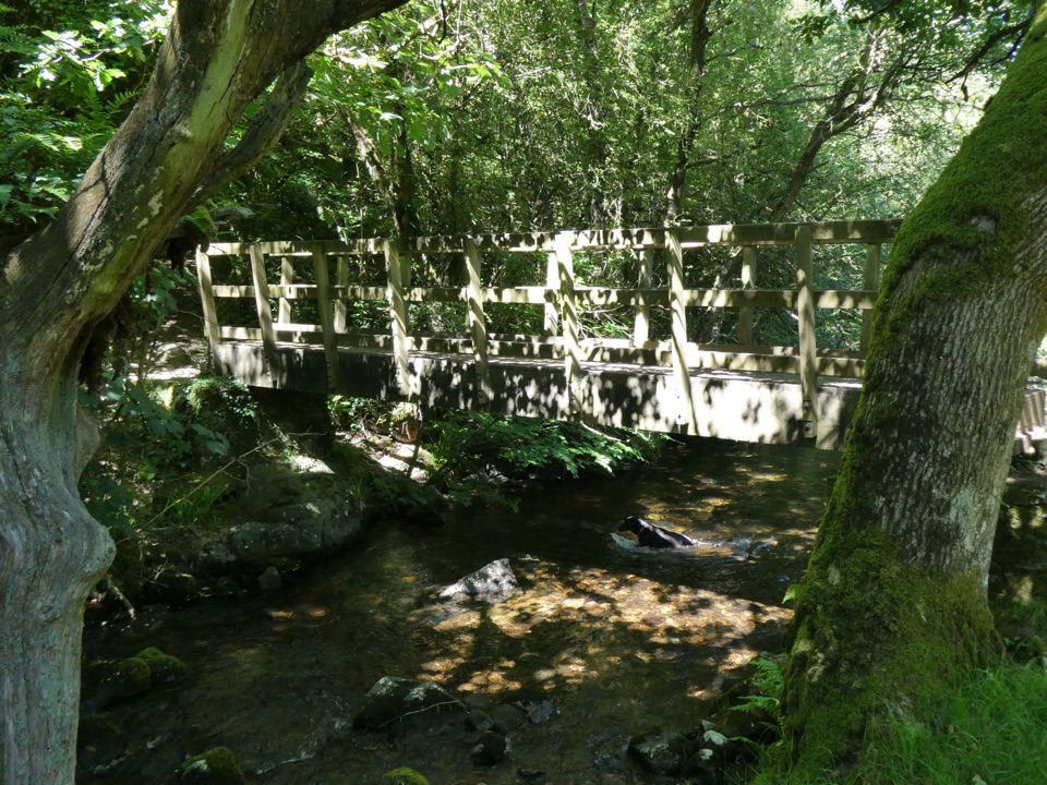 ModerateBelstone and Sticklepath Circular6.8 km · 2.5 hr · 5.6 km awayA river crossing and open moor views between two villages.
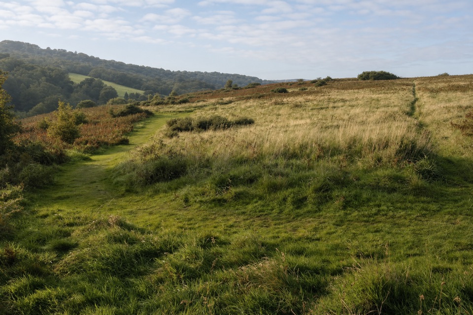 ModerateTaw-Teign Link10 km · 3.3 hr · 5.7 km awayA village link with open moor views from Ramsley Hill.
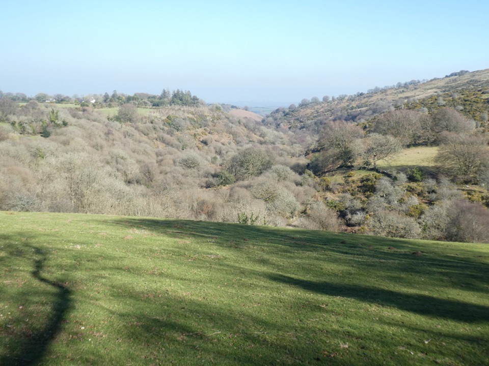 ModerateFour Villages Walk10.5 km · 3.8 hr · 6.7 km awayFour villages, a riverside cleave and a historic foundry
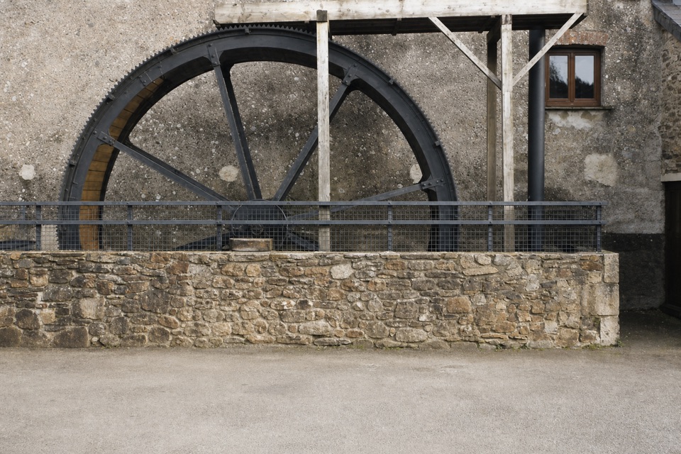 Sight · At the trailheadMuseum of Dartmoor LifeThree floors of Dartmoor stories, from prehistory to working life.
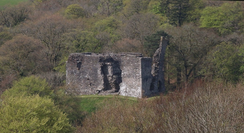 Sight · 0.9 km awayOkehampton CastleClimb a medieval keep for views over ruins, town and countryside.
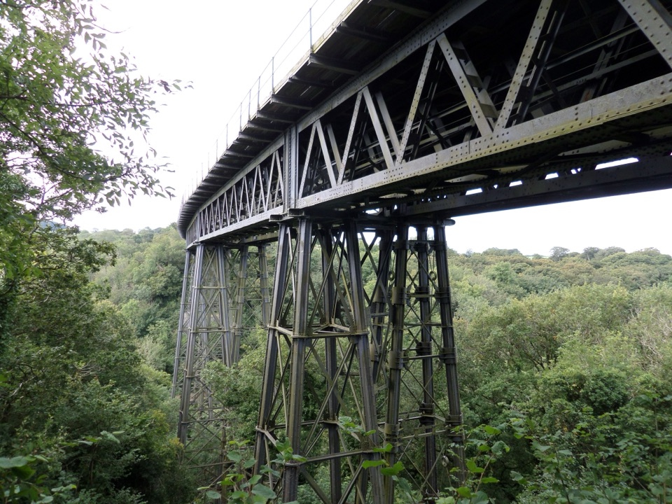
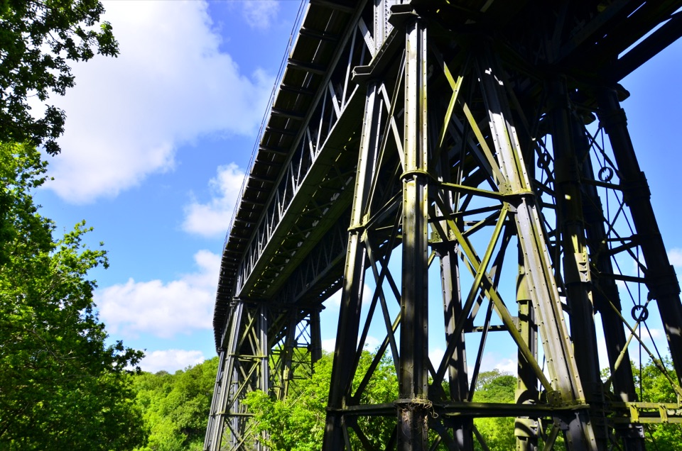 Sight · 3.6 km awayMeldon ViaductA Victorian iron crossing above the West Okement valleySight · 4.3 km awayMeldon ReservoirWalk the dam, then branch onto moorland and viaduct paths.
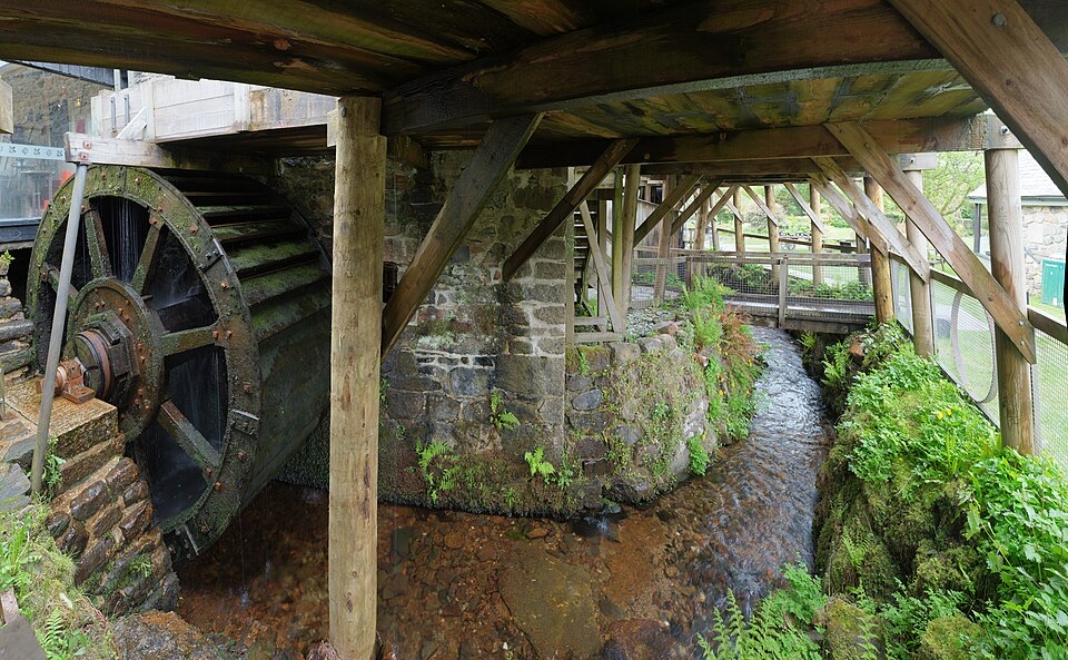 Sight · 5.6 km awayFinch FoundryHear the hammers as three waterwheels drive a working forge.
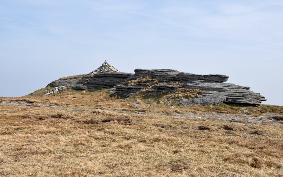 Sight · 6 km awayHigh WillhaysSouthern England’s highest point, with rugged views from an open summit.
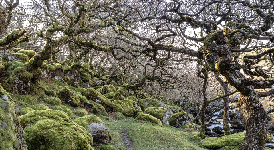 Sight · 6.3 km awayBlack-a-Tor CopseMoss-draped oaks and boulders on a wilder walk into the moor
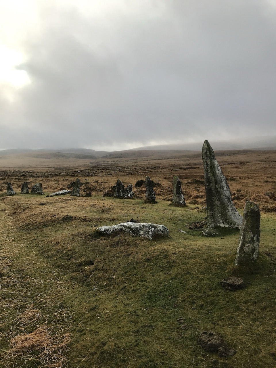 Sight · 10.3 km awayScorhill Stone CircleA wide, unrestored granite ring above the North Teign.
Parkwolf’s Dartmoor ranking

The audio tour guide for the drive, plus offline maps, trails, and wildlife heatmaps for when the signal drops.





