Wray Valley Camping in Dartmoor National Park

Campground · Dartmoor National Park

Wray Valley Camping

Tent-only camping by the river, with woodland pitches and hot showers.

Type
Campground
Nearest trail
5.1 km
Audio stories
18 nearby
  • Restrooms
  • Parking
  • Food

Hear the audio tour

Dartmoor's Rainforest

Overview

About Wray Valley Camping

Why stop

  • Secluded riverside woodland pitches
  • Direct access to the Wray Valley Trail

Heads up

  • Gear must be carried from the car park
  • A382 traffic noise varies by pitch

Map

Where it is

Loading the Dartmoor map
Full map
CampgroundWray Valley Camping50.64137, -3.73547
Keep this map with you offline in the Parkwolf app

Plan your stop

Before you go

2 active Dartmoor alerts

  • CautionDartmoor military firing restricts accessDo not cross the Okehampton, Willsworthy or Merrivale training-range boundaries when warning signals are displayed.Official details
  • CautionAccess restriction at Huccaby FarmAccess to CROW Access Land at Huccaby Farm in the West Dart River Valley is subject to a current restriction notice.Official details
Dartmoor alerts
A park ranger sits on a dash-mounted phone, talking, as Parkwolf’s Tour Guide plays “Army Cutworm Moths: A Grizzly Bear Buffet” on Grand Loop Road below Dunraven Pass in Yellowstone
Parkwolf Tour GuideThe highest, rockiest slopes around here are a summer buffet for grizzly bears.

Dartmoor Tour Guide

Your drive to Wray Valley Camping, narrated.

Parkwolf is a GPS audio tour guide for Dartmoor National Park. As you drive, it chimes in with what’s ahead: hidden gems, upcoming stops, history, geology, and wildlife, right through your car’s speakers.

Recorded for this area

Dartmoor's Rainforest
0:00 / 0:26
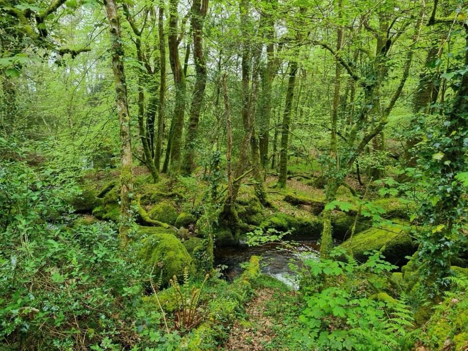
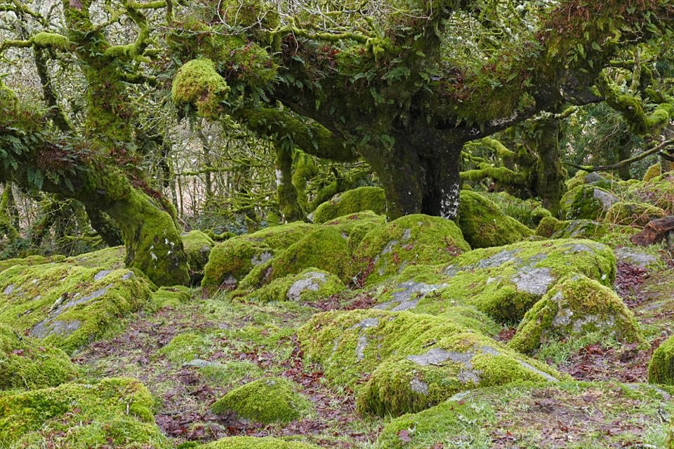
“Some of Dartmoor's oak woods are temperate rainforest. Mild, damp Atlantic air lets mosses, liverworts and lichens spread across branches and granite.”

Plays on the road 0.5 km from Wray Valley Camping in the Parkwolf Dartmoor Tour Guide.

More stories near here in the app

  • Lustleigh’s May Queen Stone
  • Lustleigh’s Working Orchard
  • The Flash in the Oak Woods
  • The Railway Beneath the Wray Trail
  • 298 audio storiesacross Dartmoor’s roads, triggered by GPS as you drive
  • Wildlife heatmapsfor Western Roe Deer, Red Fox, European Rabbit, and 13 more
  • Works offlinemaps, 54 trails, 59 places, and audio download before you lose signal
  • CarPlay readysimple controls built for the drive
★★★★★
“Fantastic app with many points of information… It’s great to just turn on while you’re driving and it gives you an audio tour of the national Park. We love it!!!!”
JMJamesApp Store review
Download Parkwolf on the App StoreGet Parkwolf on Google Play

4.7 from 8,600+ ratings

Guide

More about Wray Valley Camping

A small, nature-first campsiteWray Valley Camping is a small, tent-only campground halfway between Lustleigh and…

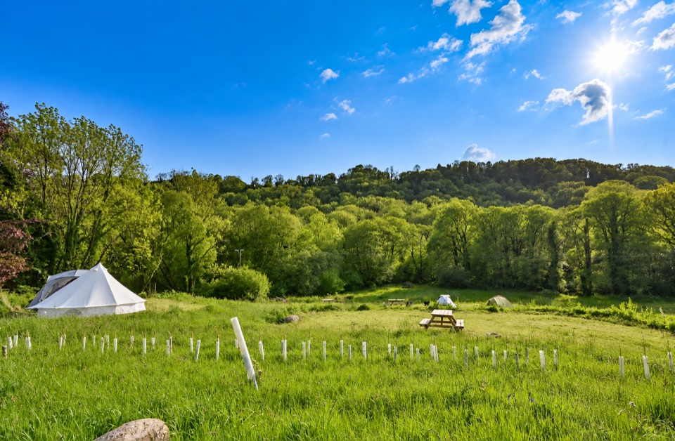
Wray Valley Camping is a small, tent-only campground halfway between Lustleigh and Moretonhampstead, spread across a sloping hay meadow and riverside woodland. It suits campers who want a low-key base with proper showers and a campfire, not a drive-on caravan park. Cars stay in the car park, and campervans, motorhomes, caravans and roof tents aren't accepted.

Meadow or woodlandThe Hay Meadow has terraced pitches separated by unmown corridors, with the river at the bottom.

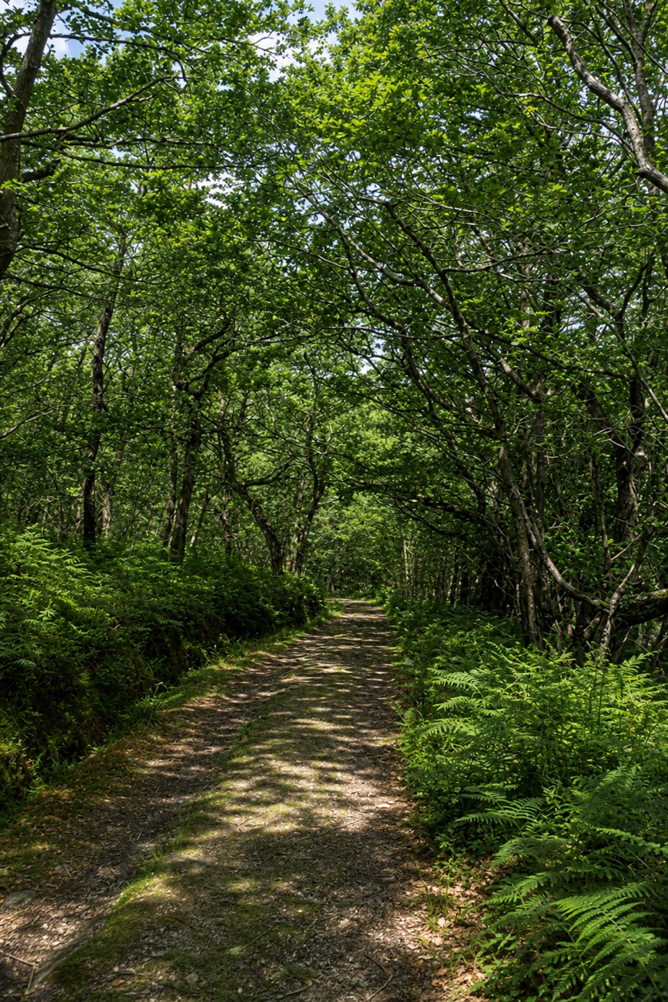
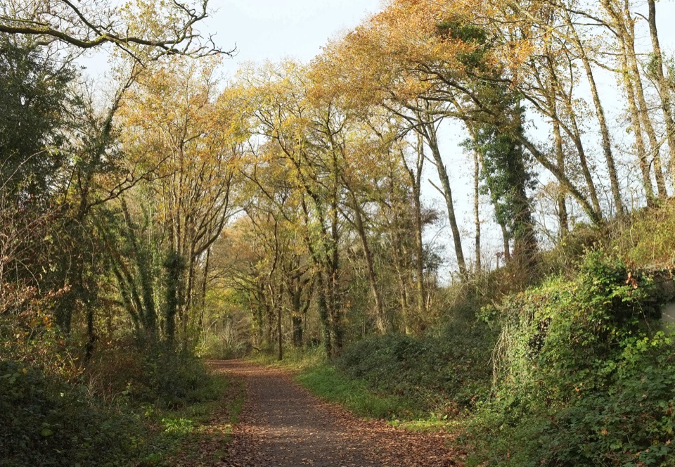
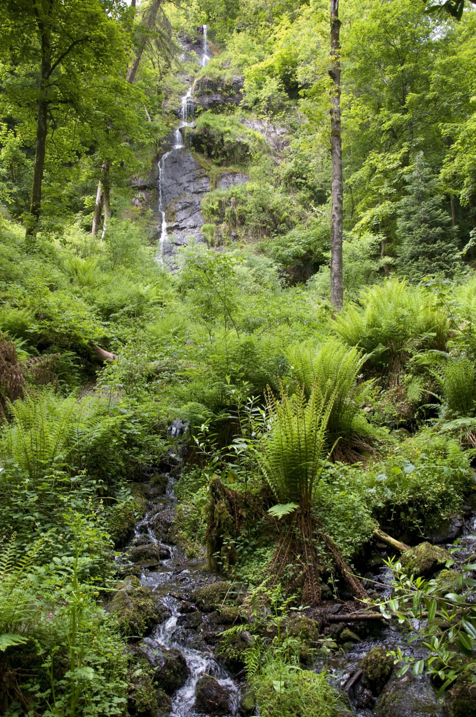
The Hay Meadow has terraced pitches separated by unmown corridors, with the river at the bottom. Nearly Wild pitches are smaller and more secluded under trees beside the water; the Oak pitch is about 200 metres from the car park and awkward for barrows, while Water Meadow is a larger glade closer to the facilities. The Wray Valley Trail has a direct approach through the woods and across a small footbridge. Six of the site's ten acres are a County Wildlife Site for rare wet woodland and lowland deciduous habitat.

Make it workThere are family wet rooms, a flush toilet, compost toilets, filtered borehole drinking water,…

There are family wet rooms, a flush toilet, compost toilets, filtered borehole drinking water, washing-up areas and a small campers' kitchen. Firepits and raised BBQs are allowed, and dogs can stay if kept under control around free-range chickens and wildlife. You can pre-book a continental breakfast, bacon or egg bap, home-cooked evening meal or build-your-own pizza; this is planned food, not a walk-in restaurant. The A382 runs alongside the site. Recent visitors often found it peaceful, but an older review found traffic noticeable from an upper pitch, so ask for a lower or woodland pitch if road noise matters.

Wildlife

Wildlife in Dartmoor

All Dartmoor wildlife maps

Sighting maps show where each species has been reported across Dartmoor. Wildlife moves, so no sighting is guaranteed.

Keep exploring

Near Wray Valley Camping

See it all on the map

Trails nearby

More stops nearby

Parkwolf’s Dartmoor ranking

Top sights in Dartmoor

All 59 places
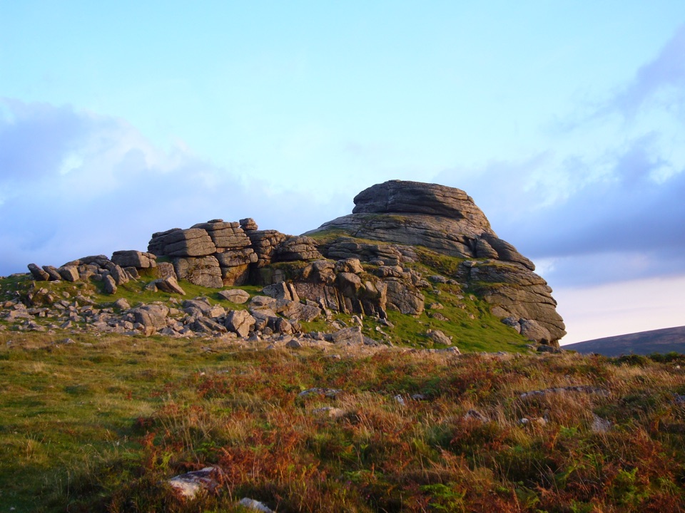
  1. 1Haytor RocksSight
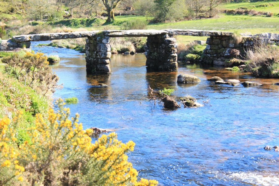
  2. 2Postbridge Clapper BridgeSight
  3. 3Hound TorSight
  4. 4GrimspoundSight
  5. 5Wistman’s WoodSight
  6. 6Castle DrogoSight

Take Parkwolf to Dartmoor.

The audio tour guide for the drive, plus offline maps, trails, and wildlife heatmaps for when the signal drops.

4.7 from 8,600+ ratings

Download Parkwolf on the App StoreGet Parkwolf on Google Play