Parking
Lanehead Car Park at the end of the public road from Mary Tavy; the lot is fairly small.
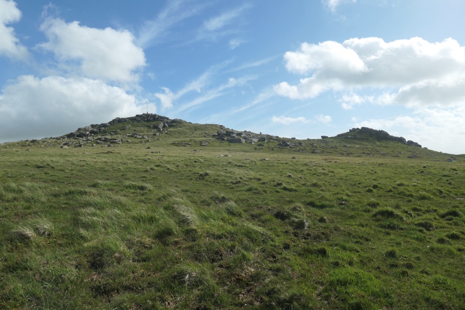
#7 of 54 trails in Dartmoor
Dartmoor National Park
A boulder-filled river gorge, boggy moor and two tors in one loop.
Overview
Map & elevation
Plan your hike

The highest, rockiest slopes around here are a summer buffet for grizzly bears.
Dartmoor Tour Guide
Parkwolf is a GPS audio tour guide for Dartmoor National Park. As you drive, it chimes in with what’s ahead: hidden gems, upcoming stops, history, geology, and wildlife, right through your car’s speakers.
More stories near here in the app
“Fantastic app with many points of information… It’s great to just turn on while you’re driving and it gives you an audio tour of the national Park. We love it!!!!”


Trail guide
The Tavy Cleave and Hare Tor Circular is a 4.42-mile loop from Lanehead Car Park, following the River Tavy through a boulder-filled gorge before climbing open moor to Hare Tor and returning over Ger Tor. Allow about 2½ to 3½ hours for roughly 238 m of ascent. The numbers look modest, but the walking is much rougher than they suggest: the river section mixes wet mud with large, uneven rock, and the upper moor has stretches where a path is hard to pick out. I’d choose this for a varied, remote-feeling circuit; skip it if you want a smooth trail or a quick, steady pace.
From the small car park, take the track east to Nattor Farm, then bear left along the leat carrying water from the Tavy. The leat is a trace of the area’s copper-mining past and leads to a small inlet building at the mouth of the cleave. From there, the route stays on the river’s north bank as the valley tightens into Tavy Cleave. The river drops into waterfalls and pools, with granite boulders filling the bed and small rock tops above the steep sides. Take your time here: the line is indistinct in places, and footing switches between slick wet stones and muddy ground. Boulder-hopping slows you more than the map suggests. Higher up, the valley opens and splits. The right-hand branch leads to Watern Oke, a prehistoric settlement with more than 70 hut circles; that’s an optional detour beyond this loop. The circuit turns left.
After the split, follow the west side of Rattle Brook upstream, staying above the stream. Faint path strands fan across particularly boggy ground, so keep checking direction instead of following the clearest rut. Near Dead Lake, bear left toward Hare Tor. This is the least obvious stretch: an open, rolling slope with tussock and no dependable path. A military track appears on maps, but it isn’t a reliable line on the ground; cloud strips away the landmarks, making navigation part of the hike. Hare Tor is a small rocky top with an army marker pole and broad views across the moor. Its bare summit comes into view as you climb, so pause for it instead of pushing straight on.
From Hare Tor, descend steeply south, then cross easier open ground southwest to Ger Tor. The outcrop looks over the mouth of Tavy Cleave, and you can see Lanehead Car Park below. From there, the route drops back to Lanehead over a footbridge across the leat. For a photo in the cleave, include one of the large boulders in the foreground so the cascades have a sense of scale.
Lanehead is at the end of the public road from Mary Tavy; the car park is fairly small. The walk lies within Willsworthy Range, where public access closes during live firing. Check the current firing schedule and obey the range warnings: red flags by day and red lamps at night. Dogs may accompany walkers on Dartmoor access land, but use a short lead from 1 March to 31 July and near livestock at any time. Mary Tavy Inn is a separate pub-food stop in the village after the walk; check its current opening times.
Wildlife
 32 sightingsWestern Roe DeerMost seen around 7 AMSighting map
 10 sightingsRed FoxMost seen around 7 PMSighting map
 37 sightingsEuropean RabbitMost seen around 7 AMSighting map
 19 sightingsGrey HeronMost seen around 7 PMSighting map
 34 sightingsGreat Spotted WoodpeckerMost seen around 7 AMSighting map
 20 sightingsCommon RavenMost seen around 8 AMSighting map
Sighting maps show where each species has been reported across Dartmoor. Wildlife moves, so no sighting is guaranteed.
Keep exploring
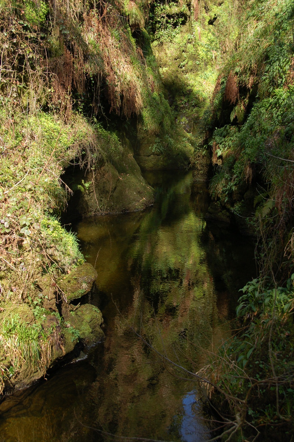 ModerateDevil's Cauldron Trail1.3 km · 40 min · 3.6 km awayA short steep walk to the roaring whirlpool under the gorge walls
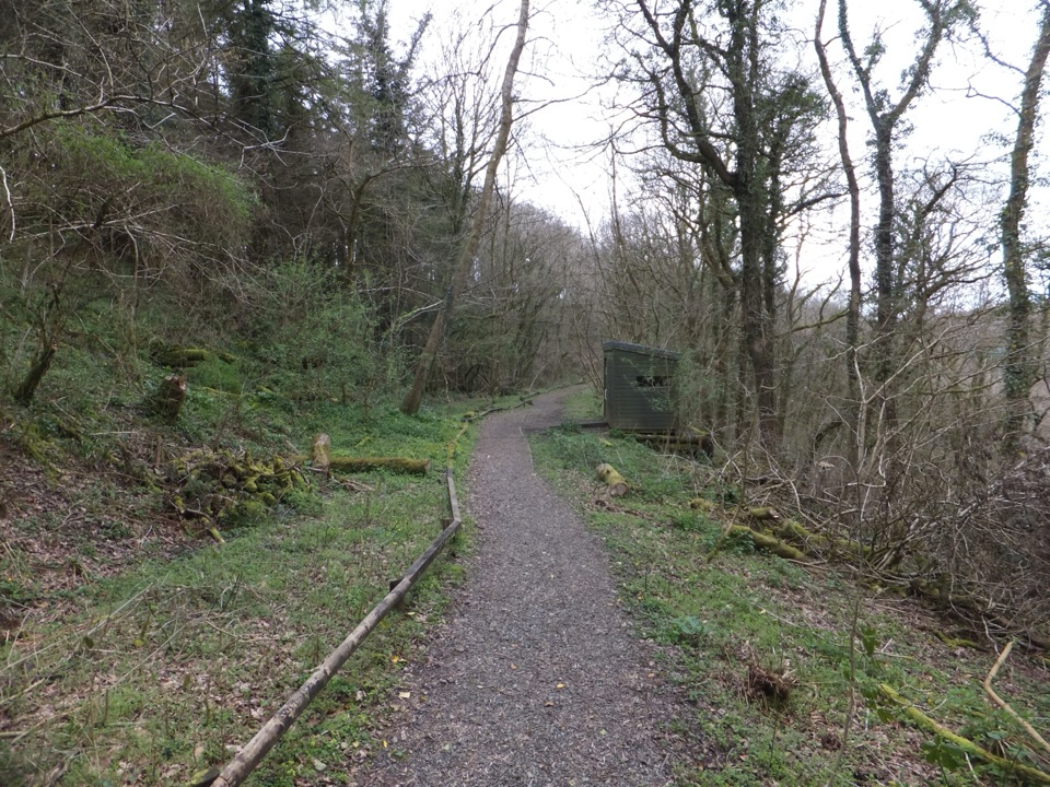 EasyLydford Gorge Railway Path1.6 km · 30 min · 3.7 km awayA short railway cutting walk, with a steeper woodland way back.
 ModerateLydford Gorge Waterfall Trail2.8 km · 1.5 hr · 3.7 km awayA steep gorge circuit to a 30-metre waterfall.
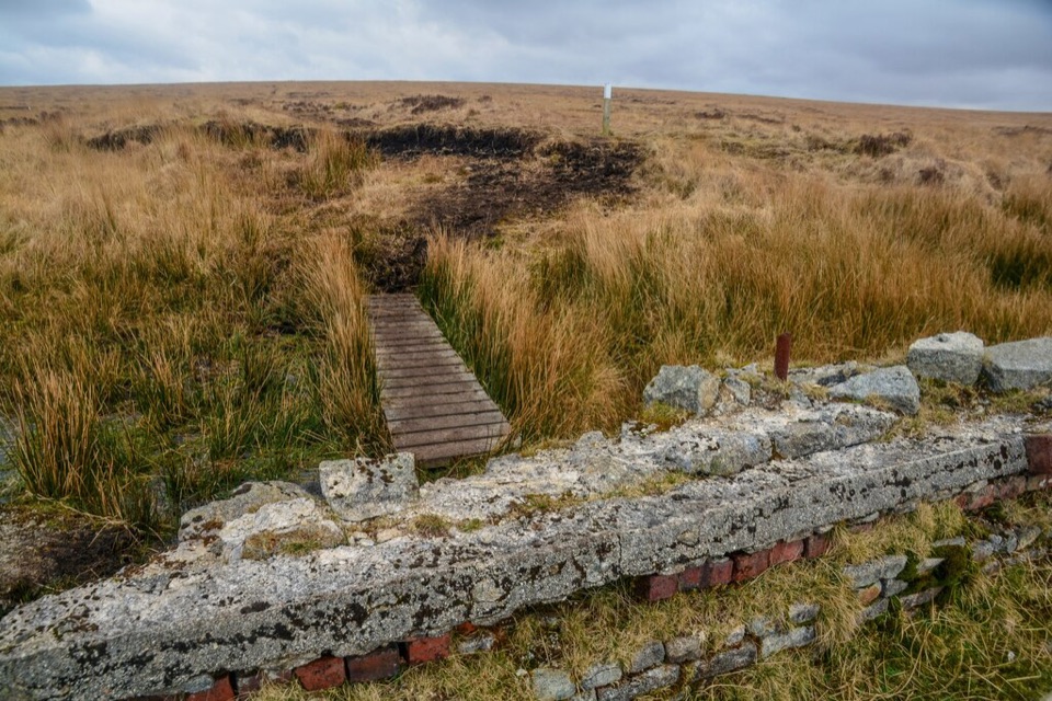 ChallengingLyd Head and Rattlebrook Circular Walk10 km · 5 hr · 4.5 km awayAn old peat railway leads across Dartmoor's rough, wet blanket bog.
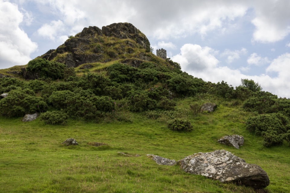 EasyBrent Tor Walk0.8 km · 30 min · 7.1 km awayA short, steep climb to a church above the moor.
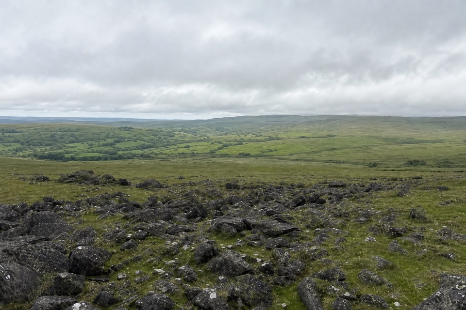 ModerateWhite Tor Walk10.3 km · 3.5 hr · 7.2 km awayA rough moorland loop across three Staple tors to White Tor’s hillfort.
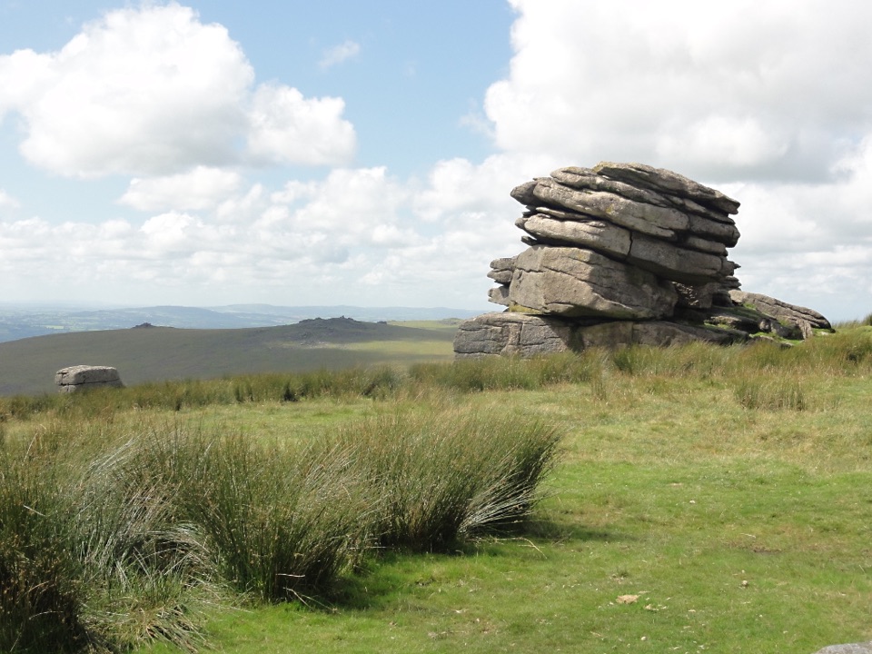 ModerateLittle Mis Tor and Great Mis Tor Walk4.8 km · 1.8 hr · 7.8 km awayTwo tors, a stone track, and a rocky summit above open moor.
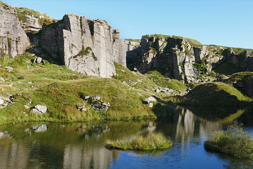 EasyFoggintor Quarry Walk2.9 km · 1 hr · 8 km awayMoorland track leads to still water beneath towering quarry walls.
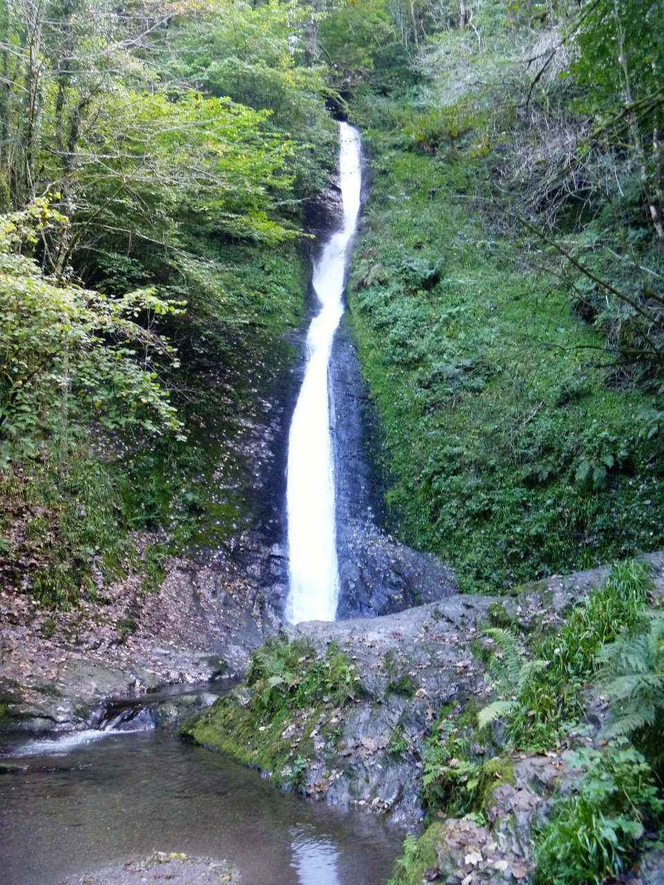 Sight · 3.6 km awayLydford GorgeTwo waterfalls, steep paths and the River Lyd in a deep gorge.
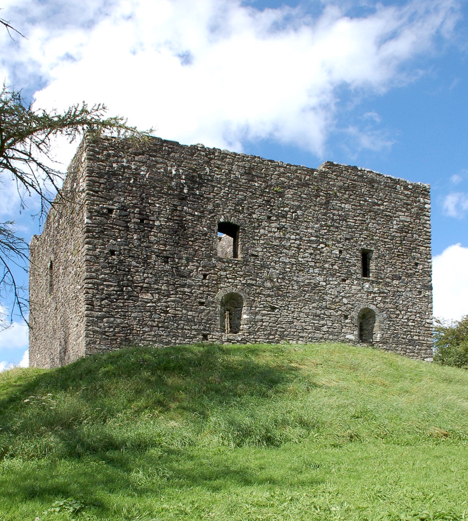 Sight · 3.7 km awayLydford CastleA ruined prison tower with a vivid medieval justice story.
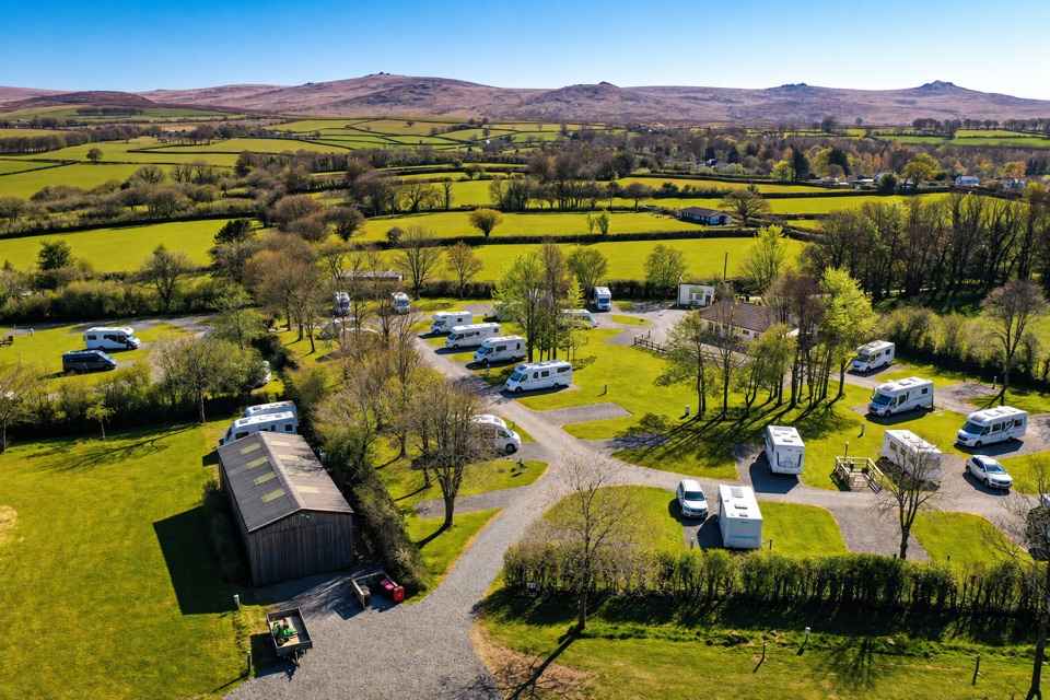 Campground · 3.9 km awayLydford Caravan & Camping ParkA quiet campsite with wide moorland views and a handy village base.
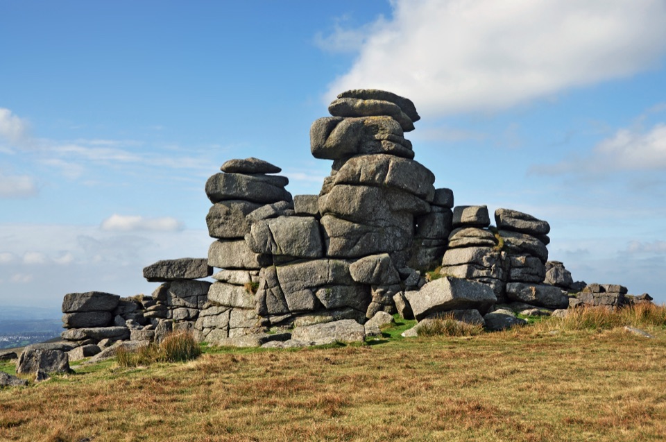 Sight · 6.4 km awayGreat Staple TorA narrow granite avenue with wide moorland views.
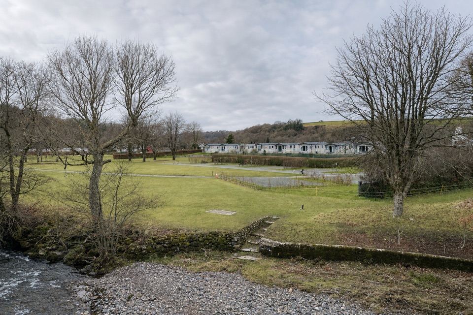 Campground · 6.6 km awayHarford Bridge Holiday ParkStay by the Tavy, from pitches to Tipis and pods.
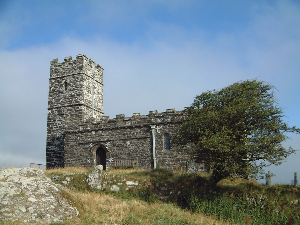 Sight · 6.9 km awaySt Michael de Rupe ChurchA tiny hilltop church with wide views beyond the tor.
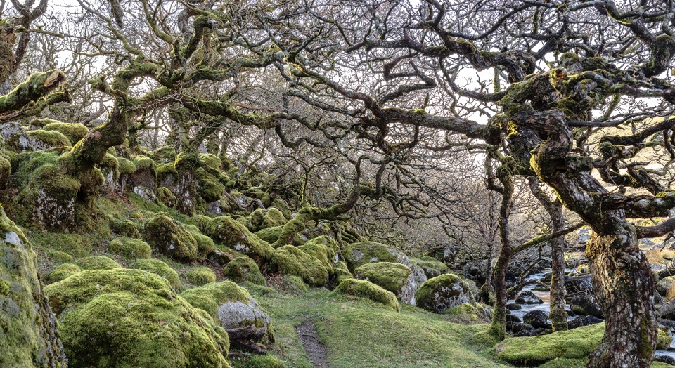 Sight · 7.4 km awayBlack-a-Tor CopseMoss-draped oaks and boulders on a wilder walk into the moor
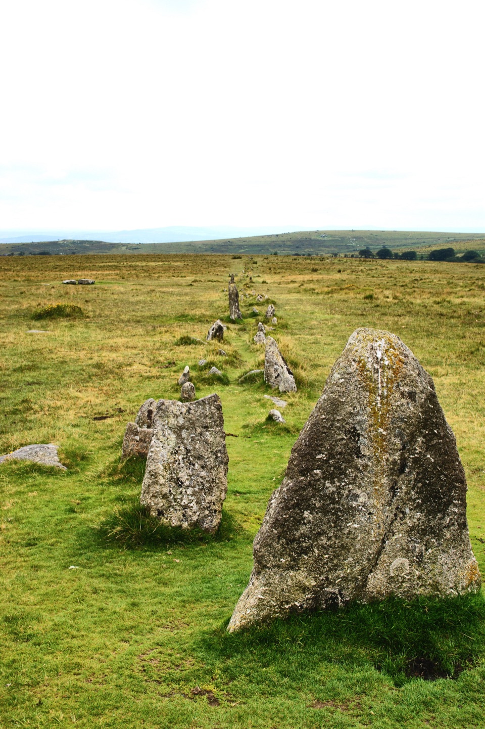 Sight · 7.8 km awayMerrivale Prehistoric SettlementLong stone rows and dozens of Bronze Age house sites to explore.
Parkwolf’s Dartmoor ranking

The audio tour guide for the drive, plus offline maps, trails, and wildlife heatmaps for when the signal drops.




