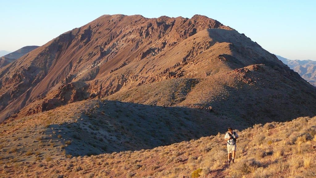
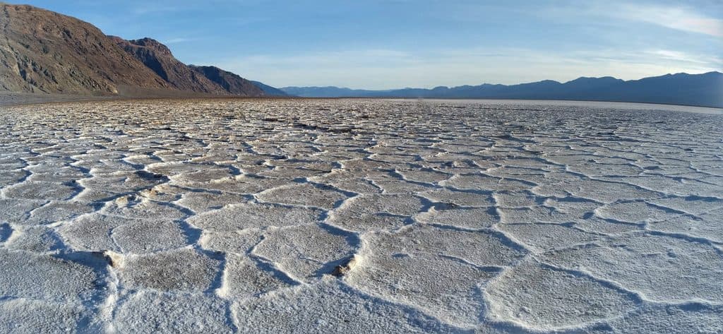
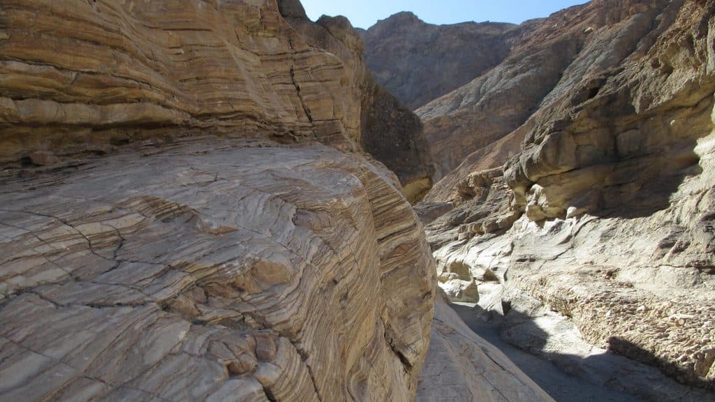
Sidewinder Canyon in Death Valley National Park

Death Valley National Park, CA · NV

Sidewinder Canyon

A demanding cross-country hike to three rugged slot canyons.

Photo: Wikimedia Commons
Length
5mi
Time
6hr
Elev. change
1,004ft
Difficulty
Challenging
  • No dogs
  • High point 768 ft

Hear the audio tour

Sidewinder and Willow Canyons: Rugged Hikes

Overview

About Sidewinder Canyon

Sidewinder Canyon is a demanding cross-country, out-and-back hike in Death Valley National Park's southern wilderness. The National Park Service lists 5 miles round trip, about 6 hours, and 1,580 feet of elevation gain. The route is unmarked and requires route-finding, scrambling over ledges, and tight-slot travel.

Why go

  • Three distinct slot-canyon highlights with dramatic narrows and changing light
  • A remote, exploratory Death Valley wilderness experience
  • Official route guidance identifies the canyon sequence and access clearly

Heads up

  • Unmarked cross-country route with no maintained trail or signs
  • Exposed rocky approach, intense heat, and no water or restrooms
  • Required scrambling, ledges, tight squeezes, and crawling are not for everyone

Map & elevation

The route

Loading the Death Valley map
Full map
Elevation-236–768 ft
TrailheadSidewinder Canyon parking area36.06464, -116.74479
Keep this map with you offline in the Parkwolf app

Plan your hike

Before you go

Parking

Unmarked gravel access road on Badwater Road 31.5 miles south of CA-190, between mile markers 31 and 32. The access road is less than 0.5 miles long and is typically passable to a sedan. Park in the open gravel area shared with Willow Canyon; it is large enough for buses and RVs.

Best time to go

The unmarked access road leaves Badwater Road 31.5 miles south of CA-190, between mile markers 31 and 32. The road is less than 0.5 miles long and is typically passable to a sedan; the large gravel lot is shared with Willow Canyon. Cool-season travel is best. There is little shade outside the slots, no water or restrooms, and summer heat can be dangerous.

Safety

No signs identify the parking or hike; you are entering designated wilderness. Route-finding across the rough alluvial fan and canyon is required. Climbing over vertical ledges higher than 6 feet and squeezing or crawling through spaces as narrow as 1.5 feet are part of the route. There is no water or restroom, shade is limited, heat can be extreme, flash floods are dangerous, and cell service is unlikely. Carry ample water, a headlamp, sturdy footwear, and reliable navigation.

3 active Death Valley alerts

  • ClosurePark roads closed or hazardousPlan around multiple closed roads and use extra caution on damaged routes. - Paved roads: North Highway and Beatty Cut-off are closed due to flooding and debris from the October 22 storm.Official details
  • ClosureSaline Valley Lower Springs closed after wildfireLower Springs at Saline Valley Warm Springs remains closed after the September 15 wildfire; stay out because the fire left safety hazards, including potential hazardous chemicals.Official details
See all 3 alerts
A park ranger sits on a dash-mounted phone, talking, as Parkwolf’s Tour Guide plays “Army Cutworm Moths: A Grizzly Bear Buffet” on Grand Loop Road below Dunraven Pass in Yellowstone
Parkwolf Tour GuideThe highest, rockiest slopes around here are a summer buffet for grizzly bears.

Death Valley Tour Guide

Your drive to Sidewinder Canyon, narrated.

Parkwolf is a GPS audio tour guide for Death Valley National Park. As you drive, it chimes in with what’s ahead: hidden gems, upcoming stops, history, geology, and wildlife, right through your car’s speakers.

See the Death Valley audio tour

Recorded for this trailhead

Sidewinder and Willow Canyons: Rugged Hikes
Listen
“The trailheads along this stretch of road lead to some of the park's more rugged and less-traveled hikes.”

Plays as you drive up to this trailhead in the Parkwolf Death Valley Tour Guide.

More stories near here in the app

  • Tiny Survivors: Death Valley’s Pupfish
  • 130 audio storiesacross Death Valley’s roads, triggered by GPS as you drive
  • Wildlife heatmapsfor Bighorn Sheep, Desert Tortoise, Coyote, and 13 more
  • Works offlinemaps, 36 trails, 114 places, and audio download before you lose signal
  • CarPlay readysimple controls built for the drive
★★★★★
“Fantastic app with many points of information… It’s great to just turn on while you’re driving and it gives you an audio tour of the national Park. We love it!!!!”
JMJamesApp Store review
Download Parkwolf on the App StoreGet Parkwolf on Google Play

4.7 from 8,600+ ratings

Trail guide

Hiking Sidewinder Canyon

RouteFrom the open gravel parking area, head directly south and uphill around the foothills to the…

From the open gravel parking area, head directly south and uphill around the foothills to the large Sidewinder Canyon mouth; avoid the foothills and narrow canyons immediately east of the lot. Continue up the main canyon to three south-side slot-canyon highlights. Slot 1 is a short, dark passage with a roughly 1.5-foot squeeze; Slot 2 is the longest and usually explored for about 0.4 miles, with 6- to 8-foot ledges; Slot 3 involves about 0.25 miles of scrambling and crawling. Return to the main canyon after each exploration and retrace the route to the parking area.

Trail experienceThis is a no-trail wilderness route rather than a maintained path.

This is a no-trail wilderness route rather than a maintained path. The alluvial-fan approach is rocky and exposed, and the canyon travel becomes progressively more technical. The exact distance varies with how far you explore the slots, but the listed 5 miles is the standard round-trip visitor figure for the full Sidewinder experience.

SafetyClimbing over vertical ledges higher than 6 feet and squeezing or crawling through spaces as…

Climbing over vertical ledges higher than 6 feet and squeezing or crawling through spaces as narrow as 1.5 feet are required. Carry ample water, a headlamp or flashlight, sturdy footwear, and reliable navigation. Check weather before entering the canyons and avoid flash-flood conditions; cell service is unlikely in this designated wilderness.

Wildlife

Wildlife in Death Valley

All Death Valley wildlife maps

Sighting maps show where each species has been reported across Death Valley. Wildlife moves, so no sighting is guaranteed.

Parkwolf’s Death Valley ranking

Top-rated trails in Death Valley

All 36 trails
  1. 1Badwater Basin Salt FlatsEasy · 1.9 mi
  2. 2Zabriskie Point Overlook TrailEasy · 0.3 mi
  3. 3Mesquite Flat Sand DunesEasy · 2 mi
  4. 4Telescope PeakChallenging · 12.5 mi
  5. 5Titus Canyon NarrowsEasy · 3 mi
  6. 6Mosaic CanyonModerate · 4 mi

Take Parkwolf to Death Valley.

The audio tour guide for the drive, plus offline maps, trails, and wildlife heatmaps for when the signal drops.

4.7 from 8,600+ ratings

Download Parkwolf on the App StoreGet Parkwolf on Google Play