Pros & cons
PROS
- Seasonal waterfall in one of the driest corners of the park
- Quieter than nearby Sidewinder Canyon, with real solitude
CONS
- Unmarked route with a side slot that can mislead first-timers
- Short Class 3 step at the end can be a turn-around point for some
Gravel pullout off Badwater Road shared with the Sidewinder Canyon area; unmarked start, head up the main wash. No facilities.
Extreme heat and full sun exposure; no water or shade until the narrows. Unmarked route with a side slot that is not the way to the falls. Final 6-foot dryfall requires a brief hands-on scramble; rocks can be slick if water is flowing.
Overview
Willow Canyon is a moderately strenuous out-and-back through a stark, beautiful desert canyon that ends at a short dryfall and seasonal waterfall. Expect roughly 4.3–4.4 miles total with about 1,200–1,325 feet of gain. The route starts from a gravel pullout off Badwater Road and immediately feels quieter than the park’s marquee hikes.
What You’ll See
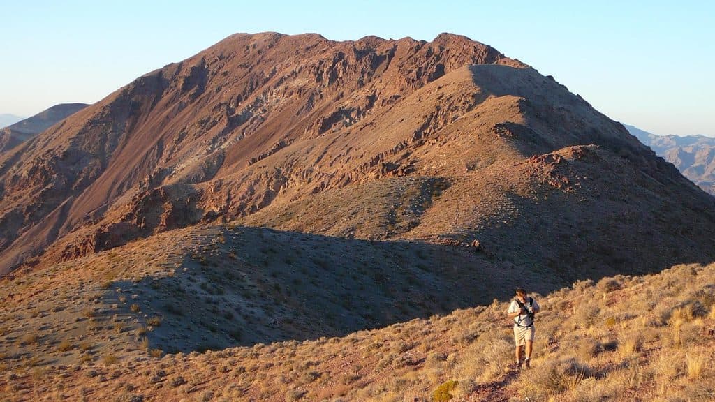
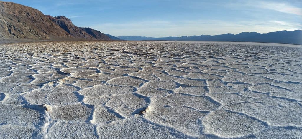
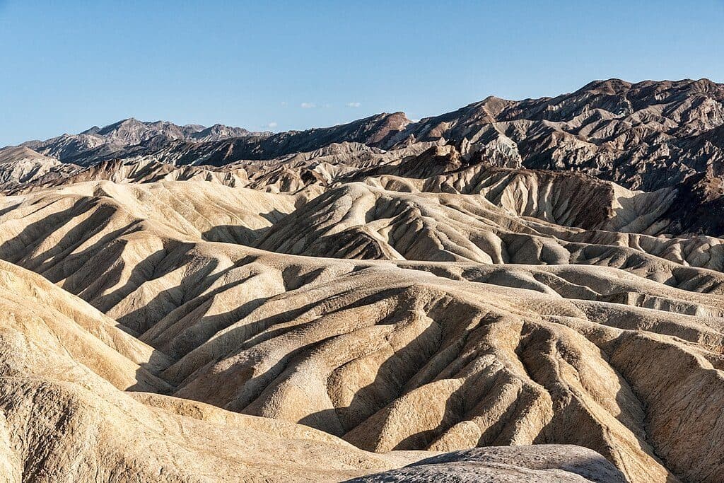
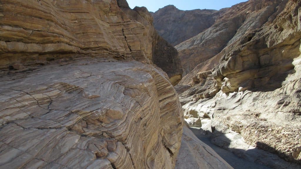
The approach crosses a broad, rocky alluvial fan with wide-open valley views before the walls tighten into scenic narrows. The rock is polished and sculpted from rare flows along Willow Creek, with sparse desert vegetation—keep an eye out for desert holly clinging to shaded cracks. When conditions line up (after winter rains or snowmelt), you’ll hear and see water in the final stretch, culminating at a 6-foot dryfall that can trickle or pour in good years. Even dry, the amphitheater and narrows make for photogenic, moody canyon scenery.
Trail Character and Navigation
There’s no formal tread—follow the main wash up-canyon. About a mile in, a slot branches right (south); it’s a worthwhile peek for confident scramblers, but it’s not the route to the main falls. Stay in the primary canyon to reach the dryfall. Near the end, a brief Class 3 move over the 6-foot step gets you to the base when conditions allow.
Difficulty and Who Will Love It
This is a solid “moderate” desert outing: sustained walking on uneven, rocky surfaces, full sun exposure until the narrows, and a short, hands-on scramble at the end. If you like quieter canyons and a touch of adventure without committing to technical gear, it’s a great fit. If constant shade or a guaranteed waterfall is a must, it can feel underwhelming outside wet periods.
Best Time to Hike
Go November through March for safe temperatures and softer light. Mornings are best—cooler on the fan and lovely side-light on the canyon walls. Waterfall flow is most likely in late winter into early spring after storms. Summer heat here is dangerous; skip it.
Tips and Comparisons
- Bring real sun protection and plenty of water; there’s no reliable water on the route and almost no shade until the narrows.
- Sturdy shoes help on the loose, cobbly wash and the final scramble.
- Navigation is straightforward if you simply follow the main drainage; don’t get sidetracked by the right-hand slot if your goal is the falls.
- Looking for more dramatic slots and a busier scene nearby? Sidewinder Canyon is just up the road and scratches that itch, but you’ll trade away some solitude.
Logistics
Park in the gravel pullout off Badwater Road (shared with the Sidewinder Canyon area). There are no facilities—no water, restrooms, or signage. Pets aren’t permitted on park trails. No permit is required for day hiking; standard park entry fees apply.
Elevation
4.4 mi · 2.1 hrWhere it starts
36.0656, -116.7449Near Willow Canyon Trail
All places →All trails →
0.1 mi awaySidewinder CanyonTwisty slot canyons with scrambles, solitude, and route-finding.Challenging · 5 mi · 4 hr
1.1 mi awayMormon Point ViewQuiet roadside overlook of the Black Mountains and the salt panPullout · Scenic Viewpoint
10.5 mi awayCoffin PeakA quiet, windy summit with huge views near Dante’s ViewTrailhead · Parking
10.7 mi awayAshford Mill RuinsEvocative concrete ruins on the valley floor, easy quick stopRestroom · Parking
10.8 mi awayDante's Ridge to Mount PerryScenic, exposed ridge from Dante’s View to Mount PerryChallenging · 8.8 mi · 5 hr
10.8 mi awayDante's ViewGrandstand view over Badwater Basin from 5,475 feetTrailhead · Parking
11.4 mi awayBadwater Basin Salt FlatsWalk the otherworldly salt polygons at North America’s lowest pointEasy · 1.9 mi · 33 min
11.4 mi awayBadwater Basin BoardwalkEasy stroll to surreal salt flats at North America's low pointEasy · 1 mi · 45 min