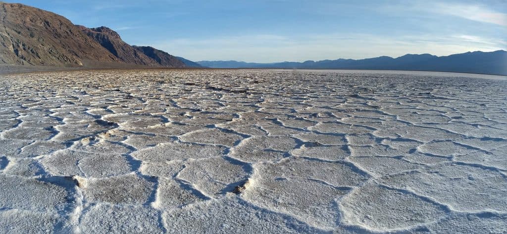
Parking
Use the paved Mesquite Flat Sand Dunes parking area just east of Stovepipe Wells off CA-190; pull-through spaces serve buses and large RVs, and vault toilets are in the lot.

#3 of 36 trails in Death Valley
Death Valley National Park, CA · NV
Cross-country dunes to Death Valley’s tallest dune, with wide-open sunrise and sunset views.
Overview
Map & elevation
Plan your hike

The highest, rockiest slopes around here are a summer buffet for grizzly bears.
Death Valley Tour Guide
Parkwolf is a GPS audio tour guide for Death Valley National Park. As you drive, it chimes in with what’s ahead: hidden gems, upcoming stops, history, geology, and wildlife, right through your car’s speakers.
See the Death Valley audio tourRecorded for this area
Reading the Night's Story on the Dunes“The sand here is like the morning paper, telling the story of who was out last night. Most desert animals are nocturnal to beat the heat, so an early walk lets you read the news.”
Plays on the road 0.1 mi from the trailhead in the Parkwolf Death Valley Tour Guide.
More stories near here in the app
“Fantastic app with many points of information… It’s great to just turn on while you’re driving and it gives you an audio tour of the national Park. We love it!!!!”


Wildlife
 71 sightingsBighorn SheepMost seen around 6 PMSighting map
 101 sightingsDesert TortoiseMost seen around 8 AMSighting map
 458 sightingsCoyoteMost seen around 6 PMSighting map
 28 sightingsFeral BurroMost seen around 5 PMSighting map
 30 sightingsMule DeerMost seen around 7 PMSighting map
 62 sightingsKit FoxMost seen around 7 PMSighting map
Sighting maps show where each species has been reported across Death Valley. Wildlife moves, so no sighting is guaranteed.
Keep exploring
 ChallengingGrotto Canyon3.4 mi · 4.5 hr · 1.1 mi awayUnmarked desert-canyon scramble through polished narrows to a high chokestone
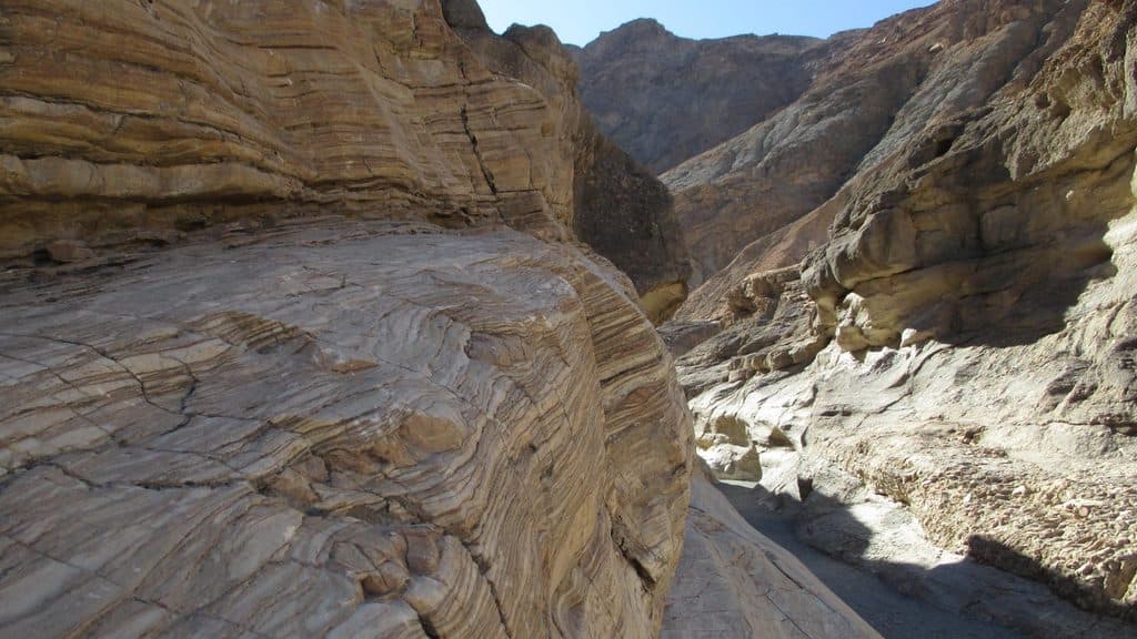 ModerateMosaic Canyon4 mi · 2.8 hr · 2.9 mi awayA full out-and-back through polished marble narrows, Mosaic Breccia, and dryfall terrain
 ChallengingTucki Mountain via Mosaic Canyon12.3 mi · 12 hr · 2.9 mi awayExpert cross-country summit route through Mosaic Canyon with 6,100 feet of gain and broad Death Valley views
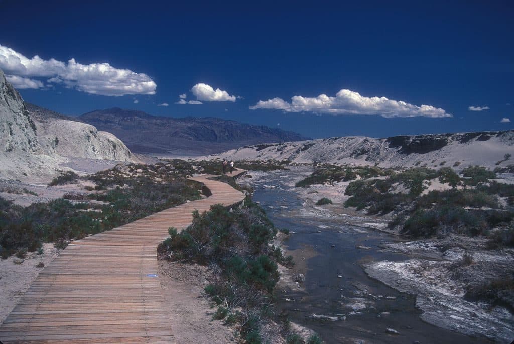 EasySalt Creek Interpretive Trail0.8 mi · 30 min · 7 mi awayAn easy, flat boardwalk loop through Salt Creek’s rare desert wetland and pupfish habitat.
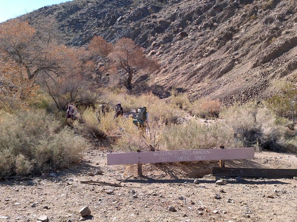 ChallengingCottonwood-Marble Canyon Loop26.3 mi · 18 hr · 10.2 mi awayA demanding backcountry loop through Cottonwood, Deadhorse, and Marble Canyons
 ChallengingDeath Valley Buttes3 mi · 3.5 hr · 10.7 mi awayUnmarked ridge scramble to wide Death Valley views and an exposed high summit.
 ChallengingCorkscrew Peak Trail7.2 mi · 5.5 hr · 11.9 mi awayUnmarked 7.2-mile desert summit route with loose scrambling and wide-open views
 ModerateMarble Canyon8.4 mi · 5 hr · 12 mi awayRemote, unmarked 8.4-mile out-and-back through Marble Canyon narrows; 4WD access and route-finding required.
 Sight · 0.6 mi awayMesquite Flat Sand DunesEasy-access dunes for golden-hour photos, stargazing, and sandboarding
 Ranger station · 1.7 mi awayStovepipe Wells Ranger StationQuick fee-pay stop with rangers and services next door
 Lodging · 1.7 mi awayStovepipe Wells HotelFull‑service desert base with rooms, pool, fuel, and dunes next door
 Historic marker · 1.8 mi awayBurnt WagonsGold Rush story plaque in the heart of Stovepipe Wells
 Restaurant · 1.8 mi awayBadwater SaloonCold drinks and hearty bites at Stovepipe Wells desert saloon
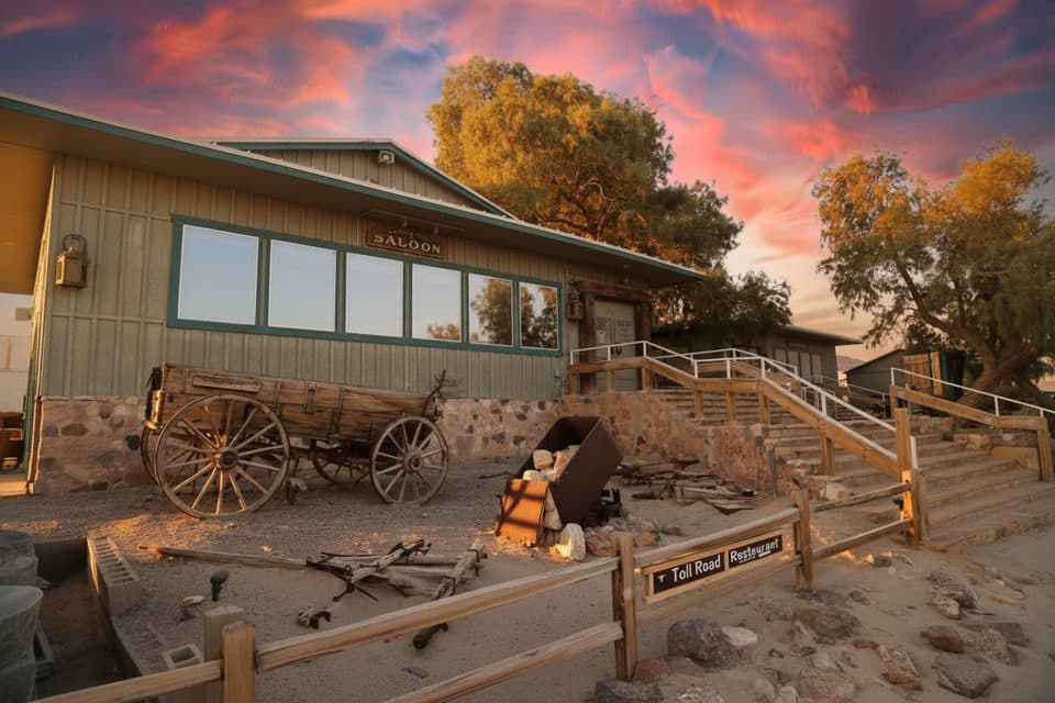 Restaurant · 1.8 mi awayToll Road RestaurantSit-down comfort food with a local twist at Stovepipe Wells
 1.8 mi awayStovepipe WellsSmall desert hub steps from Mesquite Flat Sand Dunes
 Gas station · 1.8 mi awayStovepipe Wells Gas Station24/7 fuel and supplies hub between dunes and mountains
Parkwolf’s Death Valley ranking

The audio tour guide for the drive, plus offline maps, trails, and wildlife heatmaps for when the signal drops.