Maclaren River Trail in Denali Highway

#7 of 18 trails in Denali Highway

Denali Highway, AK

Maclaren River Trail

A long ATV track into the Maclaren River valley

Length
16.3mi
Time
9hr
Elev. change
344ft
Difficulty
Challenging
  • High point 3,271 ft

Hear the audio tour

A Redpoll's Built-In Seed Store

Overview

About Maclaren River Trail

Why go

  • A remote line into a broad, glacier-shaped river valley.

Heads up

  • 16.26 miles round trip with two potentially deep water crossings.

Map & elevation

The route

Loading the Denali Highway map
Full map
Elevation2,927–3,271 ft
TrailheadMaclaren River Road access, Denali Highway MP 43.3–43.563.11743, -146.57082
Keep this map with you offline in the Parkwolf app

Plan your hike

Before you go

Parking

Use the Maclaren River Road access on the north side of the Denali Highway around MP 43.3–43.5. A 2014 inventory lists four spaces at MP 43.5, but current parking layout and capacity are unverified. No trailhead toilet or water source was found.

Safety

Current public permission to walk this corridor is unconfirmed; the historic access map does not grant recreation rights. Expect possible ATV use. Two reported crossings, near 0.5 and 4.5 miles, may exceed 3 feet after rain or snowmelt; no bridge or safe foot-crossing condition is verified. Check access and crossing conditions before starting. The dog rule is unknown.

A park ranger sits on a dash-mounted phone, talking, as Parkwolf’s Tour Guide plays “Army Cutworm Moths: A Grizzly Bear Buffet” on Grand Loop Road below Dunraven Pass in Yellowstone
Parkwolf Tour GuideThe highest, rockiest slopes around here are a summer buffet for grizzly bears.

Denali Highway Tour Guide

Your drive to Maclaren River Trail, narrated.

Parkwolf is a GPS audio tour guide for Denali Highway. As you drive, it chimes in with what’s ahead: hidden gems, upcoming stops, history, geology, and wildlife, right through your car’s speakers.

See the Denali Highway audio tour

Recorded for this area

A Redpoll's Built-In Seed Store
0:00 / 0:30
“A redpoll can gather a meal and carry it away inside its throat. These tiny northern finches have special pouches where they store seeds.”

Plays on the road 0.1 mi from the trailhead in the Parkwolf Denali Highway Tour Guide.

More stories near here in the app

  • Maclaren River: Valley View and a Roadhouse Meal
  • Crazy Notch: Through the Glacier’s Old Ridge
  • The Soil Builders Beneath the Alders
  • The Pika's Summer Hay Harvest
  • 96 audio storiesacross Denali Highway’s roads, triggered by GPS as you drive
  • Wildlife heatmapsfor Moose, Caribou, Bald Eagle, and 10 more
  • Works offlinemaps, 18 trails, 27 places, and audio download before you lose signal
  • CarPlay readysimple controls built for the drive
★★★★★
“Fantastic app with many points of information… It’s great to just turn on while you’re driving and it gives you an audio tour of the national Park. We love it!!!!”
JMJamesApp Store review
Download Parkwolf on the App StoreGet Parkwolf on Google Play

4.7 from 8,600+ ratings

Trail guide

Hiking Maclaren River Trail

The commitmentMaclaren River Trail follows a named vehicle track north from the Denali Highway into the…

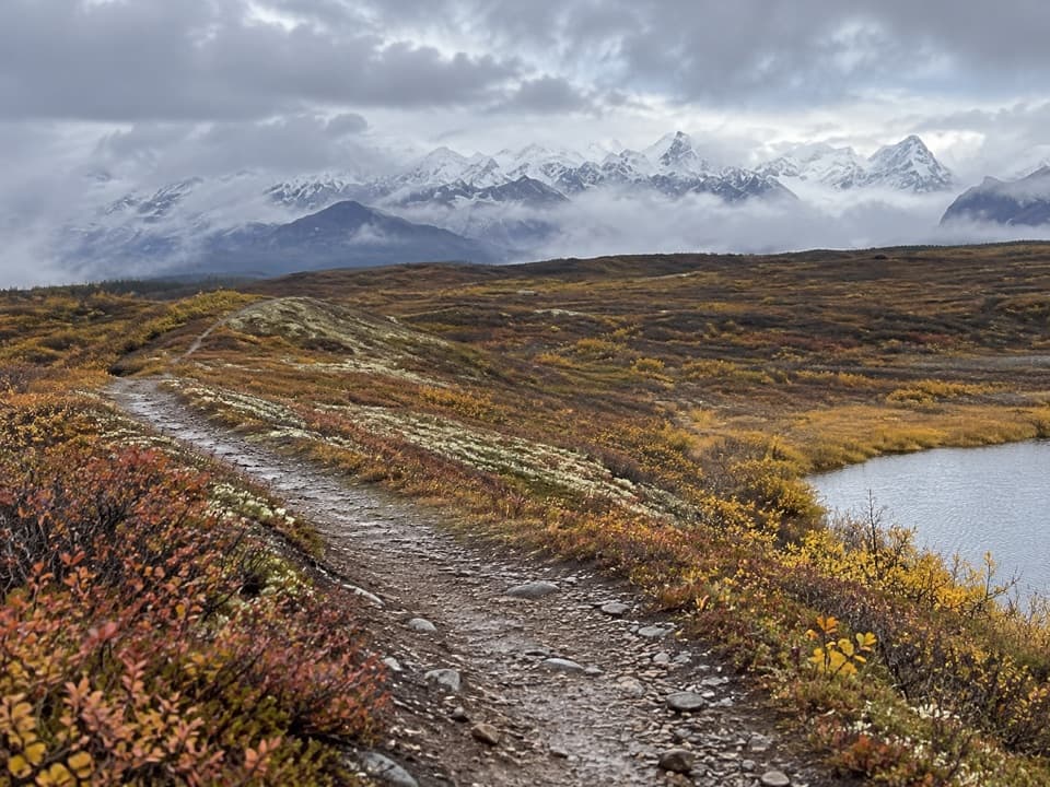
Maclaren River Trail follows a named vehicle track north from the Denali Highway into the Maclaren River valley. The verified mapped corridor is 8.13 miles one way, so walking it out and back is 16.26 miles. A route estimate allows about 4½ hours each way; budget a full day before stops or slow crossings. The elevation relief is modest for the distance, but the water crossings and uncertain pedestrian access matter more than the grade. Confirm permission to walk the corridor before setting out; map listings and an old access inventory do not grant entry rights.

What the mapped route coversStart on the highway’s north side around mileposts 43.3–43.5 and follow the mapped track north.

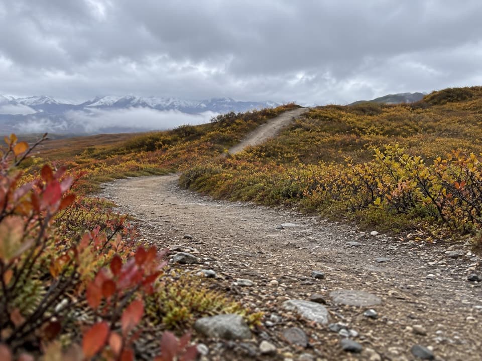
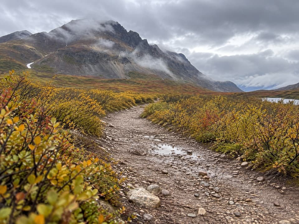
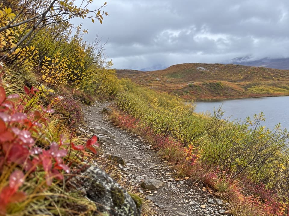
Start on the highway’s north side around mileposts 43.3–43.5 and follow the mapped track north. Its sampled profile climbs from about 956 m to 997 m in the first 3 miles, then descends toward 892 m around mile 7 before ending near 920 m. Treat those elevations as approximate; the return reverses the same terrain. The route is mapped as a vehicle track, and detailed foot-surface descriptions are scarce, so don’t count on a maintained hiking path or signs.

Water and shared useThe corridor is also described as an ATV route.

The corridor is also described as an ATV route. Two crossings are reported: a beaver dam about 0.5 mile in and the West Fork Maclaren River near mile 4.5. Reports say water at these crossings can rise above 3 feet with rain or snowmelt. No bridge or reliable foot-crossing method was verified. Check conditions and be ready to turn around rather than assume either crossing is passable; there is no shorter mapped loop that avoids them.

Know where the line endsThis saved route ends at the northern endpoint of the named mapped track, before Hidden Lake.

This saved route ends at the northern endpoint of the named mapped track, before Hidden Lake. Other walking accounts describe roughly 10 miles each way to the lake, while the glacier is farther still; neither extension has a verified connected route line here. Don’t use those longer destinations to navigate this record or treat the glacier as the payoff of the mapped 8.13-mile corridor.

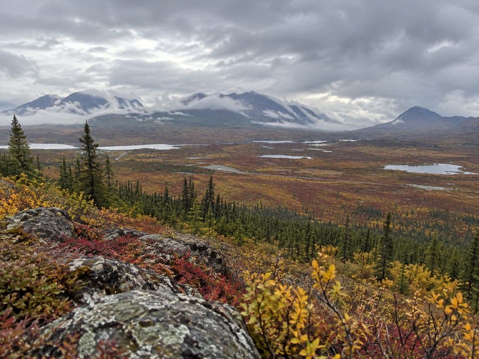
A landscape shaped by iceThe Maclaren Glacier once occupied this valley and left lateral moraines as it retreated.

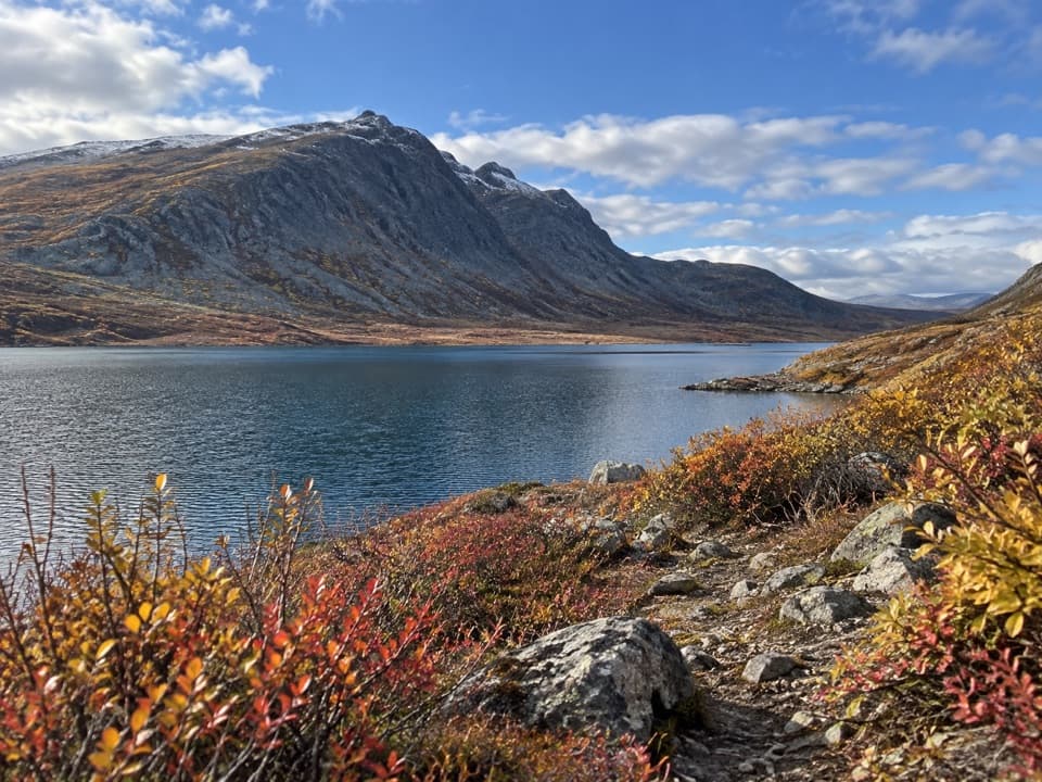
The Maclaren Glacier once occupied this valley and left lateral moraines as it retreated. The route heads into that broad glacial landscape, but the glacier itself is not at the mapped endpoint. No dependable wildlife pattern specific to this track was found, so treat sightings as a possibility rather than a reason to choose the walk.

Access, parking and servicesThe access is on the north side of the Denali Highway near MP 43.3–43.5.

The access is on the north side of the Denali Highway near MP 43.3–43.5. A 2014 inventory lists four parking spaces at MP 43.5, but today’s layout and capacity are unverified; no trailhead toilet or water source was found. The highway generally opens from mid-May to about October 1 and can be blocked by snow outside that season. Maclaren River Lodge is a separate stop near MP 42, not a trail facility; confirm restaurant service before relying on it. Current walking permission, land manager and dog rules remain unconfirmed.

Wildlife

Wildlife in Denali Highway

All Denali Highway wildlife maps

Sighting maps show where each species has been reported across Denali Highway. Wildlife moves, so no sighting is guaranteed.

Parkwolf’s Denali Highway ranking

Top-rated trails in Denali Highway

All 18 trails
  1. 1Landmark Gap Trail NorthEasy · 5.1 mi
  2. 2Swede Mountain TrailChallenging · 1.8 mi
  3. 3Tangle Lakes Foot TrailEasy · 1 mi
  4. 4Maclaren Summit TrailChallenging · 19 mi
  5. 5Glacier Gap Lake to Sevenmile Lake TrailChallenging · 17 mi
  6. 6Osar Lake TrailModerate · 14.2 mi

Take Parkwolf to Denali Highway.

The audio tour guide for the drive, plus offline maps, trails, and wildlife heatmaps for when the signal drops.

4.7 from 8,600+ ratings

Download Parkwolf on the App StoreGet Parkwolf on Google Play