Overview
About Susitna River Bridge
Why stop
- The shore path gives you a closer look at the river.
Heads up
- The shore path’s length, footing, and accessibility aren’t documented.
Map
Where it is

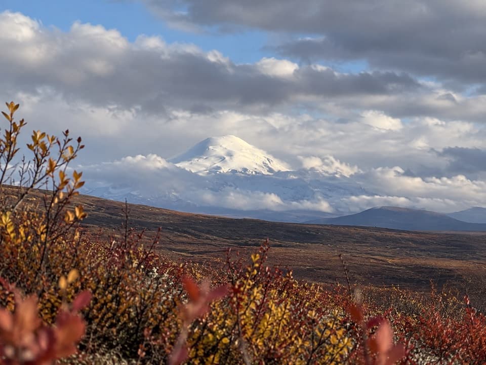
The highest, rockiest slopes around here are a summer buffet for grizzly bears.
Denali Highway Tour Guide
Your drive to Susitna River Bridge, narrated.
Parkwolf is a GPS audio tour guide for Denali Highway. As you drive, it chimes in with what’s ahead: hidden gems, upcoming stops, history, geology, and wildlife, right through your car’s speakers.
See the Denali Highway audio tourRecorded for this place
Susitna River Bridge: Watch the Current“The Susitna River Bridge is coming up, a good place to break the drive and watch a powerful current. Use the pull-off on the north side at the bridge's east end, where a path leads toward the shore.”
Plays as you drive up to Susitna River Bridge in the Parkwolf Denali Highway Tour Guide.
More stories near here in the app
- The Songbird Under the Rapids
- The Dragonfly Before It Had Wings
- The Fish Beneath the Little Rings
- Valdez Creek Mine Viewpoint: The Settlement Called Denali
- 96 audio storiesacross Denali Highway’s roads, triggered by GPS as you drive
- Wildlife heatmapsfor Moose, Caribou, Bald Eagle, and 10 more
- Works offlinemaps, 18 trails, 27 places, and audio download before you lose signal
- CarPlay readysimple controls built for the drive
“Fantastic app with many points of information… It’s great to just turn on while you’re driving and it gives you an audio tour of the national Park. We love it!!!!”


Guide
More about Susitna River Bridge
Stop at milepost 79.5Susitna River Bridge is the Denali Highway’s one-lane crossing of the Susitna River, mapped…
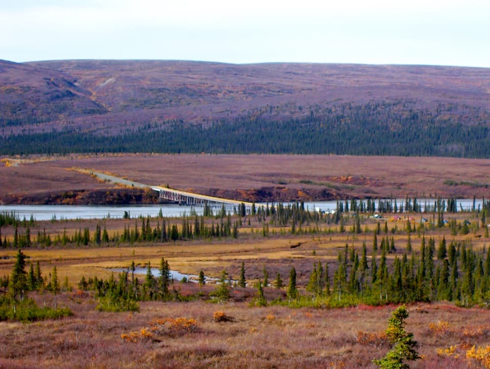
Susitna River Bridge is the Denali Highway’s one-lane crossing of the Susitna River, mapped with a wood surface. It’s a worthwhile leg-stretch if you want to see the river up close. Pull off on the north side as you approach the east end of the bridge; a path leads to the shore. This is a roadside stop rather than a separate built overlook, and the path’s length, footing, and accessibility aren’t documented.
A restless riverThe Susitna is fast and turbulent here, with whirlpools and bulges.
The Susitna is fast and turbulent here, with whirlpools and bulges. This crossing is more than 180 miles upstream of the river’s lower reaches near Cook Inlet, so you’re seeing it early in its long run south from the Alaska Range. From the bridge and shore, the gravel bars and forested banks make the scale of the river easier to read.
Keep it a shore stopThe crossing is narrow, so use the pull-off for a longer look.
The crossing is narrow, so use the pull-off for a longer look. Downstream, the river includes Class IV rapids in Watana Canyon and Class V+ water in Devil’s Canyon; treat this as a view stop, not a casual float launch. For a photo, keep some of the bridge in the frame to show which crossing you’re at, or include a near riverbank when you want to show the current.
Wildlife
Wildlife in Denali Highway
 56 sightingsMooseMost seen around 7 PMSighting map
 37 sightingsCaribouMost seen around 8 PMSighting map
 26 sightingsBald EagleMost seen around 11 AMSighting map
 33 sightingsTrumpeter SwanMost seen around 7 PMSighting map
 25 sightingsBeaverMost seen around 9 PMSighting map
 17 sightingsPorcupineMost seen around 10 PMSighting map
Sighting maps show where each species has been reported across Denali Highway. Wildlife moves, so no sighting is guaranteed.