Overview
About Valdez Creek Mine Viewpoint
Why stop
- An unusual gold-rush story behind a quick roadside stop.
Heads up
- The old mine and settlement are gone; you see the reclaimed site across the river.
Map
Where it is

The highest, rockiest slopes around here are a summer buffet for grizzly bears.
Denali Highway Tour Guide
Your drive to Valdez Creek Mine Viewpoint, narrated.
Parkwolf is a GPS audio tour guide for Denali Highway. As you drive, it chimes in with what’s ahead: hidden gems, upcoming stops, history, geology, and wildlife, right through your car’s speakers.
See the Denali Highway audio tourRecorded for this place
Valdez Creek Mine Viewpoint: The Settlement Called Denali“You're approaching Valdez Creek Mine Viewpoint, a short stop I'd choose if Alaska's gold-rush history interests you. Look east across the Susitna River to the reclaimed ground of the old gold mine.”
Plays as you drive up to Valdez Creek Mine Viewpoint in the Parkwolf Denali Highway Tour Guide.
More stories near here in the app
- A Basket Made from Bark
- The Songbird Under the Rapids
- Alaska Range Viewpoint: A Short Hill Walk
- Susitna River Bridge: Watch the Current
- 96 audio storiesacross Denali Highway’s roads, triggered by GPS as you drive
- Wildlife heatmapsfor Moose, Caribou, Bald Eagle, and 10 more
- Works offlinemaps, 18 trails, 27 places, and audio download before you lose signal
- CarPlay readysimple controls built for the drive
“Fantastic app with many points of information… It’s great to just turn on while you’re driving and it gives you an audio tour of the national Park. We love it!!!!”


Guide
More about Valdez Creek Mine Viewpoint
A mine across the riverValdez Creek Mine Viewpoint is a roadside stop on the Denali Highway, where the Susitna River…
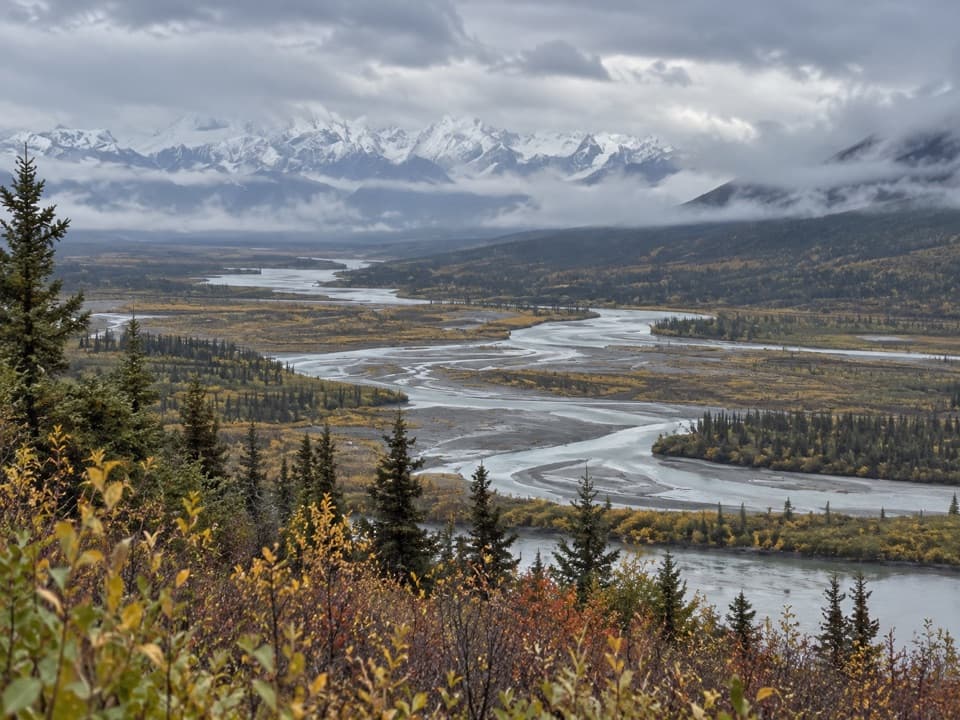
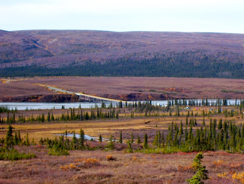
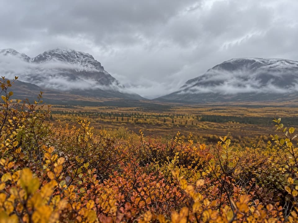
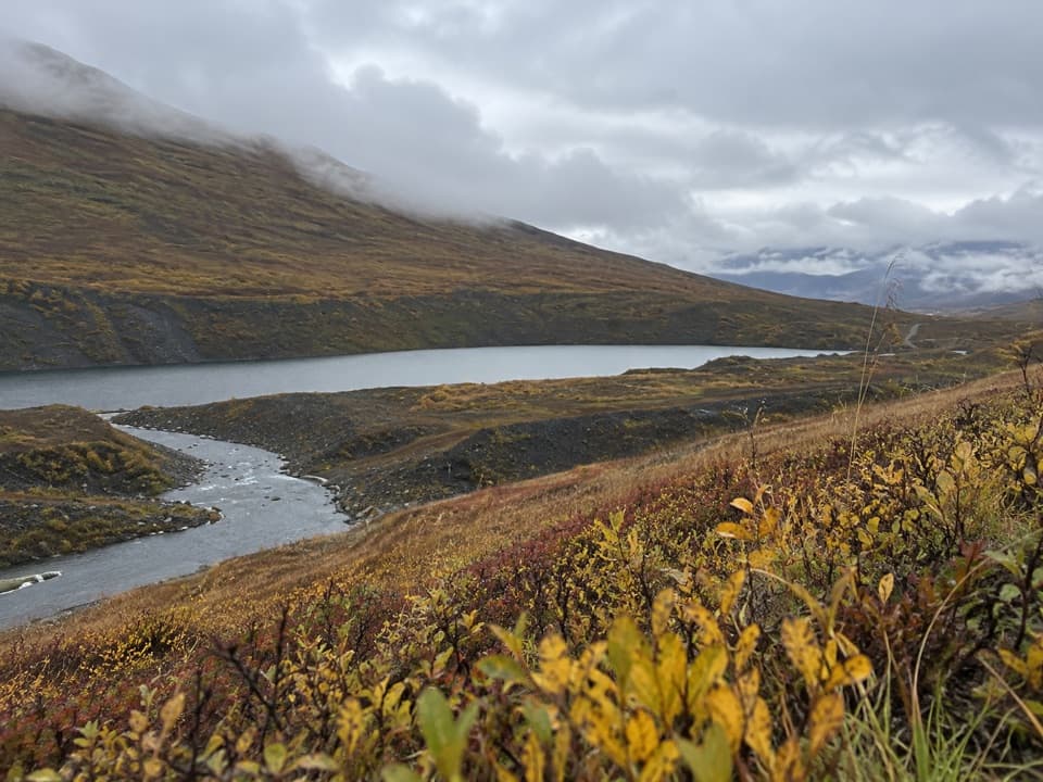
Valdez Creek Mine Viewpoint is a roadside stop on the Denali Highway, where the Susitna River runs past the foothills of the Clearwater Mountains. Look east across the water to the reclaimed ground of the old Valdez Creek gold mine. It’s a worthwhile pause if you’re curious about Alaska’s mining history; the old diggings and settlement are gone, so this is a view of the mine landscape, not a preserved town to wander through. Look for the interpretive sign on the north side of the road. For a photo, keep some river in the foreground to show the setting between the highway and the reclaimed mine.
The mine behind the viewPeter Monahan’s party discovered gold here in 1903, setting off a small rush and an outpost…
Peter Monahan’s party discovered gold here in 1903, setting off a small rush and an outpost settlement known as Denali. The mine produced about 495,000 troy ounces before closing in 1995. The historic site has since been reclaimed; small-scale mining continues farther up the drainage, separate from the old workings across the river.
Fit it into the driveThe viewpoint is at milepost 85 from Paxson or milepost 50 from Cantwell.
The viewpoint is at milepost 85 from Paxson or milepost 50 from Cantwell. The Denali Highway is mostly gravel, and the BLM describes it as generally open from mid-May through October 1; snow can block travel outside that season. Services are spaced 20 to 55 miles apart and cell coverage is limited, so plan fuel and food around the full drive rather than this stop.
Wildlife
Wildlife in Denali Highway
 56 sightingsMooseMost seen around 7 PMSighting map
 37 sightingsCaribouMost seen around 8 PMSighting map
 26 sightingsBald EagleMost seen around 11 AMSighting map
 33 sightingsTrumpeter SwanMost seen around 7 PMSighting map
 25 sightingsBeaverMost seen around 9 PMSighting map
 17 sightingsPorcupineMost seen around 10 PMSighting map
Sighting maps show where each species has been reported across Denali Highway. Wildlife moves, so no sighting is guaranteed.