Parking
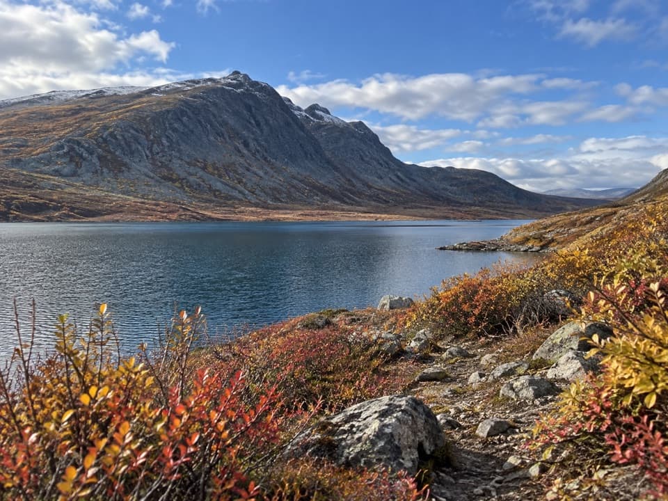
Use the roadside access where the track leaves the north side of the Denali Highway near MP 85.5. No developed parking area or capacity is documented.
Denali Highway, AK
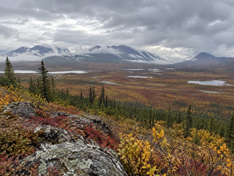
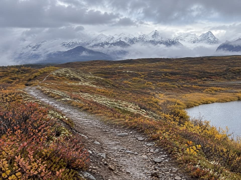
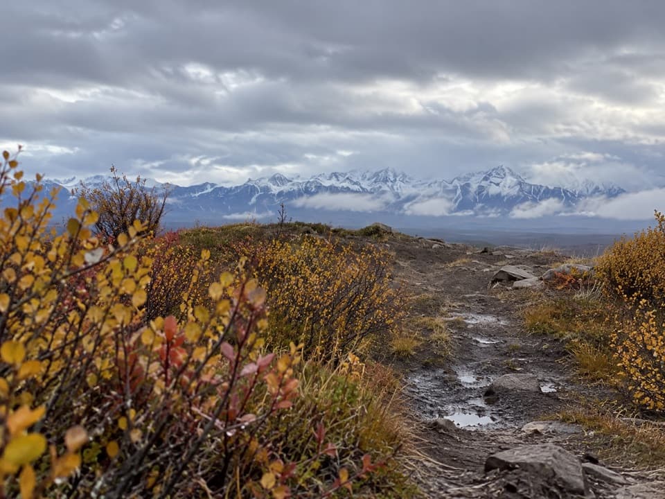
A brief climb opens a wide Susitna valley and Alaska Range view.
Overview
Map & elevation
Plan your hike

The highest, rockiest slopes around here are a summer buffet for grizzly bears.
Denali Highway Tour Guide
Parkwolf is a GPS audio tour guide for Denali Highway. As you drive, it chimes in with what’s ahead: hidden gems, upcoming stops, history, geology, and wildlife, right through your car’s speakers.
See the Denali Highway audio tourRecorded for this trailhead
Alaska Range Viewpoint: A Short Hill Walk“You're nearing the start of the Alaska Range Viewpoint walk, an informal hill climb from the north side of the highway near mile eighty-five and a half.”
Plays as you drive up to this trailhead in the Parkwolf Denali Highway Tour Guide.
More stories near here in the app
“Fantastic app with many points of information… It’s great to just turn on while you’re driving and it gives you an audio tour of the national Park. We love it!!!!”


Trail guide
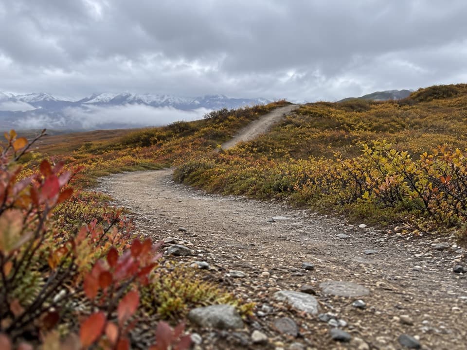
Alaska Range Viewpoint Trail is an informal out-and-back from the Denali Highway to a low hill above the Susitna River valley. Follow the mapped track about 0.29 mile uphill, then return the same way for roughly 0.58 mile round trip. Allow about 30 minutes, including time at the crest. It is a slight climb, with around 150 feet of rise in the elevation profile; go for the broad mountain view rather than a long hike.
The track leaves the north side of the Denali Highway near MP 85.5. This is a roadside access, not a named developed trailhead; no formal lot, toilets, water or other facilities are documented. The route is described as an informal summer walk, so do not expect maintained markers or a built surface.
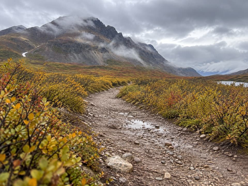
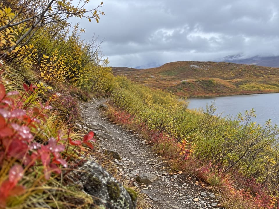
A dirt path through low shrubs reaches an open crest facing the Alaska Range. Mount Deborah, listed at 12,339 feet, and Mount Hess at 11,940 feet rise across the Susitna valley. The Susitna flows south from the Alaska Range, bends west through the Talkeetna Mountains and continues toward Cook Inlet. At the top, frame the peaks with a little foreground scrub to show the scale of the open country.
Wildlife
 56 sightingsMooseMost seen around 7 PMSighting map
 37 sightingsCaribouMost seen around 8 PMSighting map
 26 sightingsBald EagleMost seen around 11 AMSighting map
 33 sightingsTrumpeter SwanMost seen around 7 PMSighting map
 25 sightingsBeaverMost seen around 9 PMSighting map
 17 sightingsPorcupineMost seen around 10 PMSighting map
Sighting maps show where each species has been reported across Denali Highway. Wildlife moves, so no sighting is guaranteed.
Keep exploring
 ChallengingLittle Gorge Trail4.7 mi · 4 hr · 2.4 mi awayUnmaintained creek route with a steep climb and shared ATV use.
 ModerateButte Creek Trail8.2 mi · 6 hr · 4.9 mi awayA remote 8-mile round trip to Snodgrass Lake and Butte Creek.
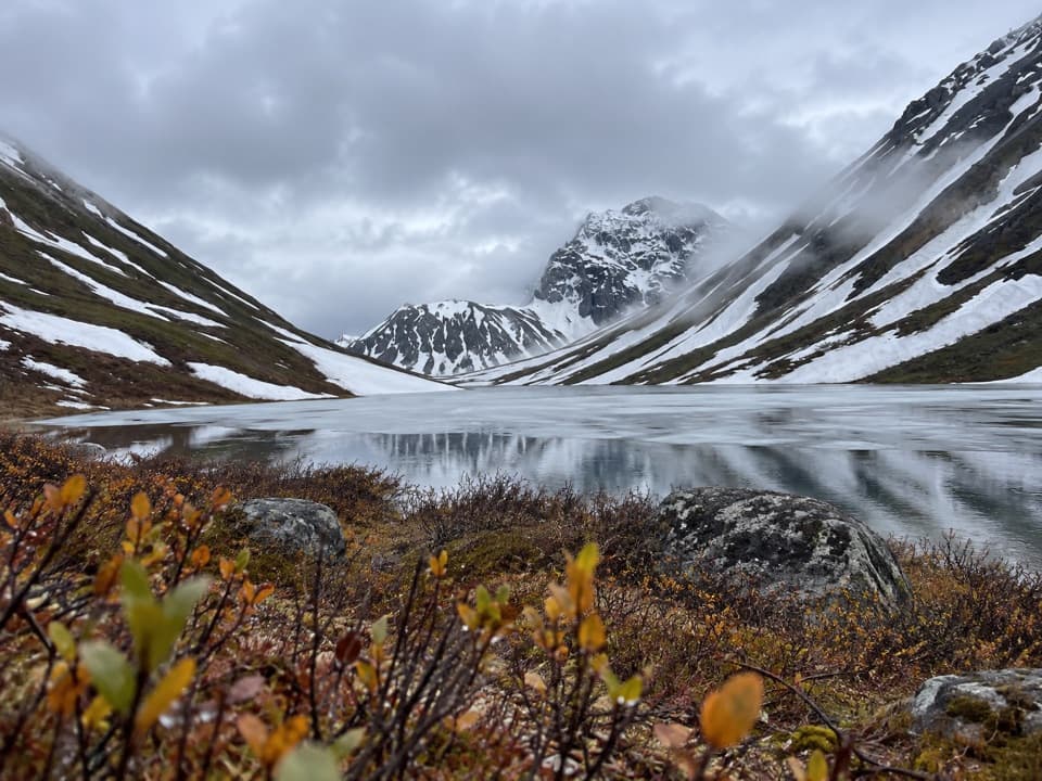 ModerateRoosevelt Lake Trail10.2 mi · 5.5 hr · 7.4 mi awayA remote gravel track that stops short of the lake.
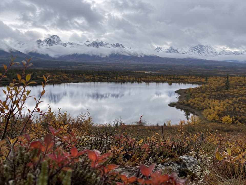 ModerateButte Lake Trail6.5 mi · 4 hr · 8.7 mi awayA rough out-and-back to Butte Lake on an ORV track.
 ModerateHatchet Lake Trail7.6 mi · 4 hr · 13.3 mi awayA gravel track leads toward remote Hatchet Lake.
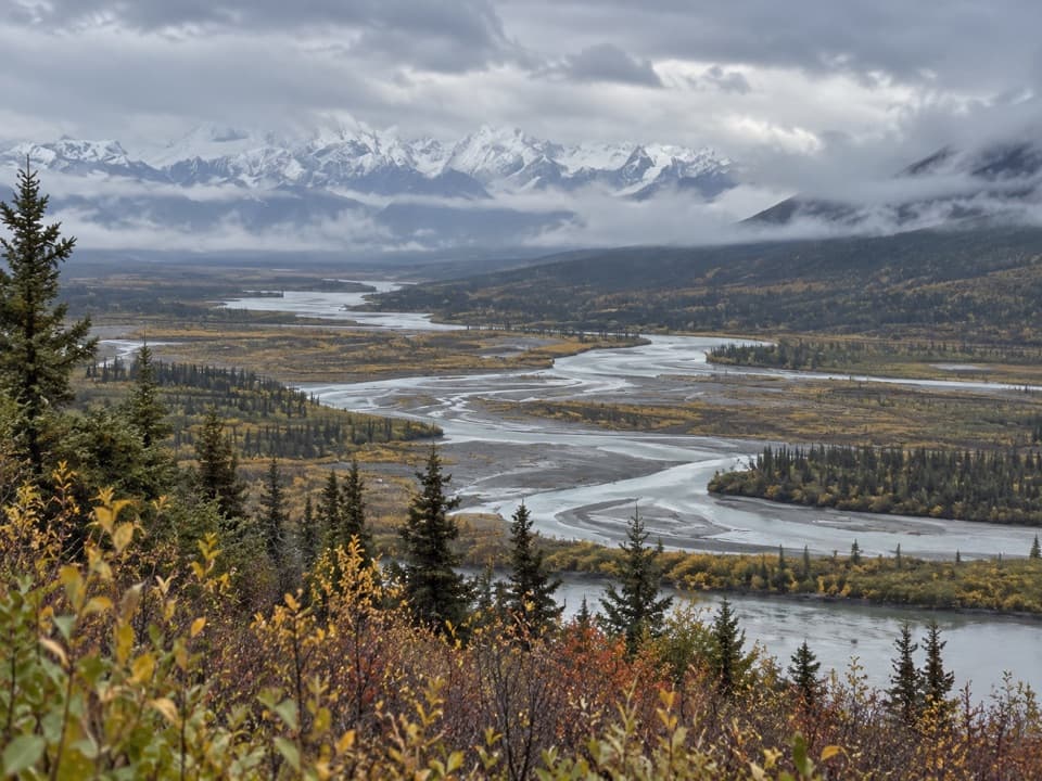 Sight · 0.3 mi awayAlaska Range ViewpointA 600-yard climb opens a wide view over Alaska's Susitna valley.
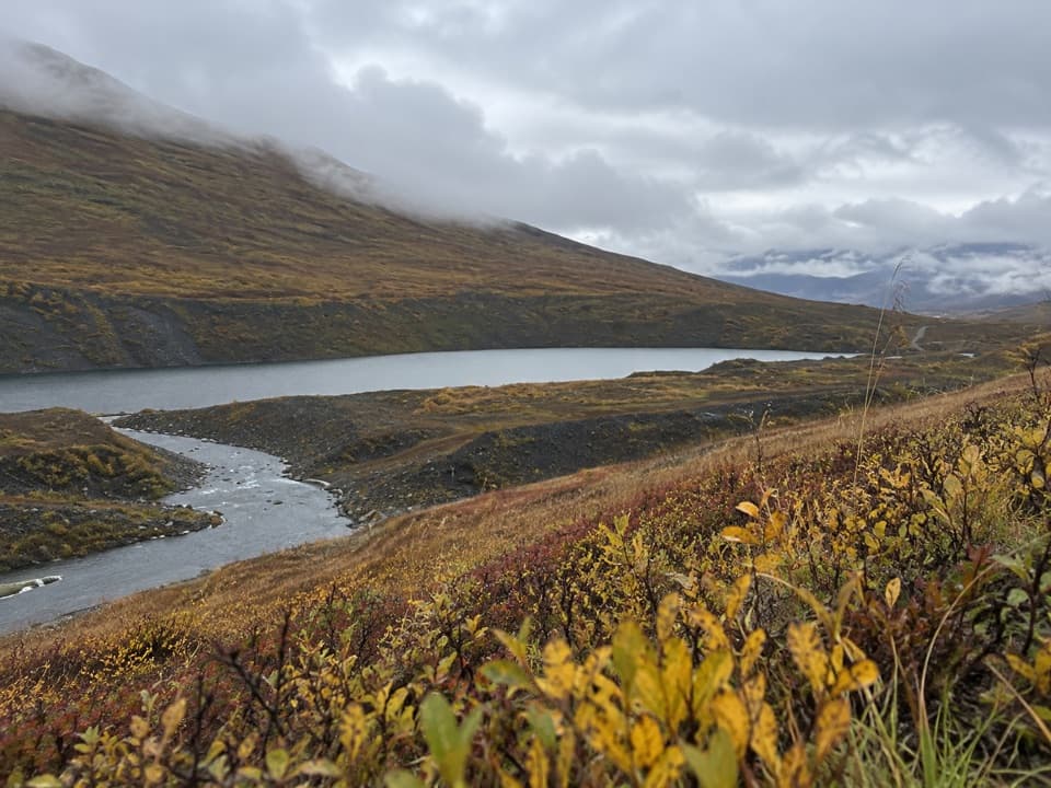 Scenic pullout · 2.2 mi awayValdez Creek Mine ViewpointA quick roadside window onto Alaska's early gold rush.
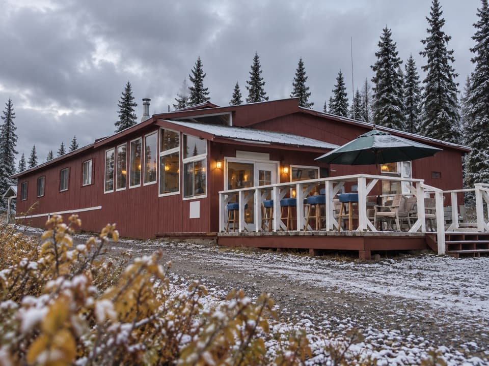 Lodging · 2.8 mi awayClearwater Mountain LodgeA historic highway lodge with uncertain public access and services.
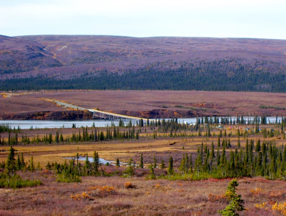 Sight · 4.9 mi awaySusitna River BridgeA wooden bridge and fast river make a worthwhile drive break.
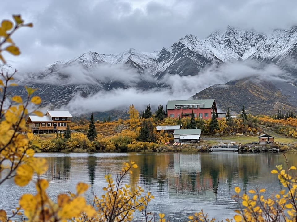 Lodging · 6.2 mi awaySusitna Adventure LodgeA private lakeside lodge with guided trips in every season.
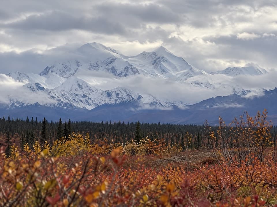 Scenic pullout · 9.8 mi awayAlaska Range Interpretive OverlookA broad Alaska Range panorama off an unmarked gravel turnoff.
Parkwolf’s Denali Highway ranking

The audio tour guide for the drive, plus offline maps, trails, and wildlife heatmaps for when the signal drops.