Seattle Creek Trail in Denali Highway

Denali Highway, AK

Seattle Creek Trail

A long creek-side walk that takes most of a day.

Length
15.4mi
Time
9hr
Elev. change
1,250ft
Difficulty
Challenging
  • High point 3,698 ft

Hear the audio tour

When This Was the Way to Denali

Overview

About Seattle Creek Trail

Why go

  • A mapped creek corridor with a same-way return
  • A close-up creek view is available near the access

Heads up

  • The 15.4-mile round trip takes most of a day
  • Current walking permission and the far-end landmark are unconfirmed

Map & elevation

The route

Loading the Denali Highway map
Full map
Elevation2,448–3,698 ft
TrailheadSeattle Creek Trail access, Denali Highway MP 114.2 south63.33228, -148.26644
Keep this map with you offline in the Parkwolf app

Plan your hike

Before you go

Parking

South-side access on Denali Highway near milepost 114.2. Earlier access information lists two spaces; the current pullout size and condition are unconfirmed. The separate Seattle Creek access points around mileposts 112.6 and 112.2 are not the start used here.

Safety

Current public permission to walk the full corridor is unresolved, and motorized use is also listed. Confirm access with the land manager before setting out; the map gives no named landmark at the far end.

A park ranger sits on a dash-mounted phone, talking, as Parkwolf’s Tour Guide plays “Army Cutworm Moths: A Grizzly Bear Buffet” on Grand Loop Road below Dunraven Pass in Yellowstone
Parkwolf Tour GuideThe highest, rockiest slopes around here are a summer buffet for grizzly bears.

Denali Highway Tour Guide

Your drive to Seattle Creek Trail, narrated.

Parkwolf is a GPS audio tour guide for Denali Highway. As you drive, it chimes in with what’s ahead: hidden gems, upcoming stops, history, geology, and wildlife, right through your car’s speakers.

See the Denali Highway audio tour

Recorded for this area

When This Was the Way to Denali
0:00 / 0:32
“The Denali Highway was once the main road approach to Denali National Park. It opened in nineteen fifty-seven, connecting the park to Alaska's road system for the first time.”

Plays on the road 0.5 mi from the trailhead in the Parkwolf Denali Highway Tour Guide.

More stories near here in the app

  • Which Dark Eagle Is It?
  • A Boulder Far from Home
  • Antlers Don't Always Mean Male
  • A Moose's Summer Salad
  • 96 audio storiesacross Denali Highway’s roads, triggered by GPS as you drive
  • Wildlife heatmapsfor Moose, Caribou, Bald Eagle, and 10 more
  • Works offlinemaps, 18 trails, 27 places, and audio download before you lose signal
  • CarPlay readysimple controls built for the drive
★★★★★
“Fantastic app with many points of information… It’s great to just turn on while you’re driving and it gives you an audio tour of the national Park. We love it!!!!”
JMJamesApp Store review
Download Parkwolf on the App StoreGet Parkwolf on Google Play

4.7 from 8,600+ ratings

Trail guide

Hiking Seattle Creek Trail

The long versionSeattle Creek Trail is a shared-use out-and-back from the south side of Denali Highway into the…

Seattle Creek Trail is a shared-use out-and-back from the south side of Denali Highway into the Seattle Creek corridor. The mapped line runs about 7.7 miles to its far end and back, for 15.4 miles round-trip. A published 15-mile figure does not say whether it is one way or return; this description counts the mapped corridor out and back. Allow 8 to 10 hours. The outward leg rises about 1,250 feet overall.

Follow the creek lineStart at the south-side access near milepost 114.

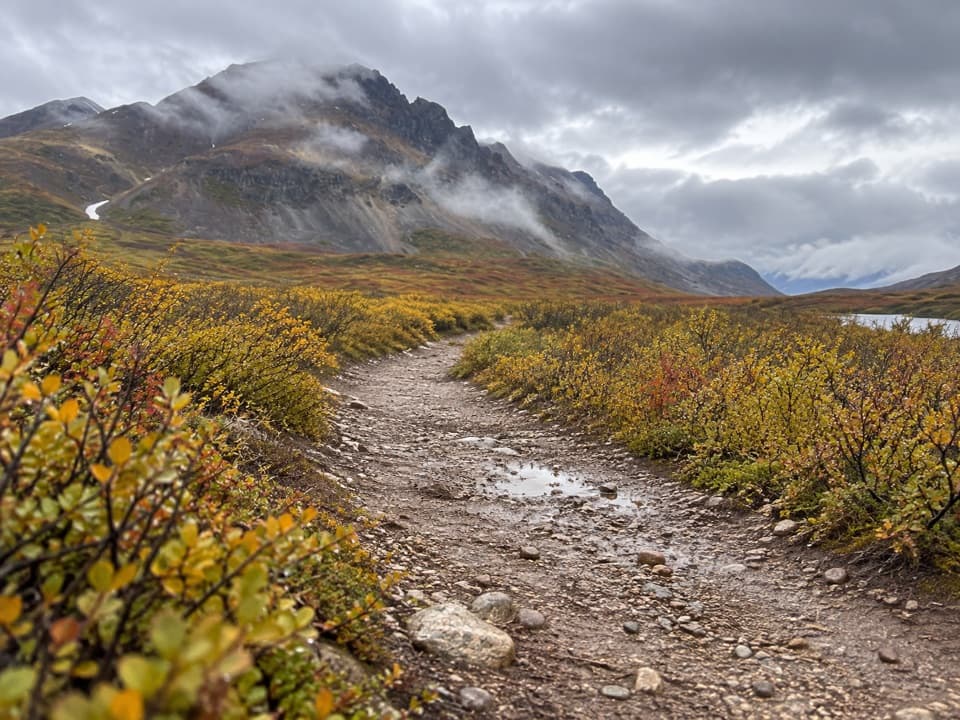
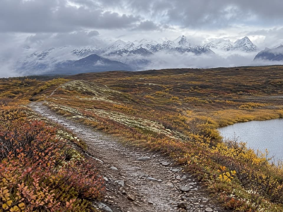
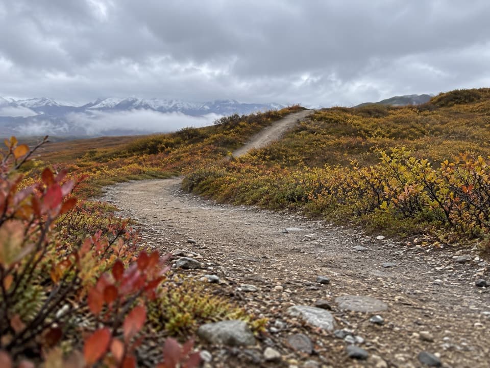
Start at the south-side access near milepost 114.2 and follow the mapped summer-trail line south and southwest, then return the same way. Elevation samples rise from about 2,450 to 3,700 feet, with some shallow dips. The map names no destination at the far end and gives no detail about footing, so use the line as your turnaround and don’t assume every nearby track is part of this walk.

A shared-use routeThe route is listed for foot travel as well as motorized use, so it isn’t a hiking-only path.

The route is listed for foot travel as well as motorized use, so it isn’t a hiking-only path. Its current walking permission and land status beyond the highway are not confirmed; verify access with the land manager before committing to the full distance. The far end has no named landmark, and the available route information doesn’t establish trail condition or permanent hazards.

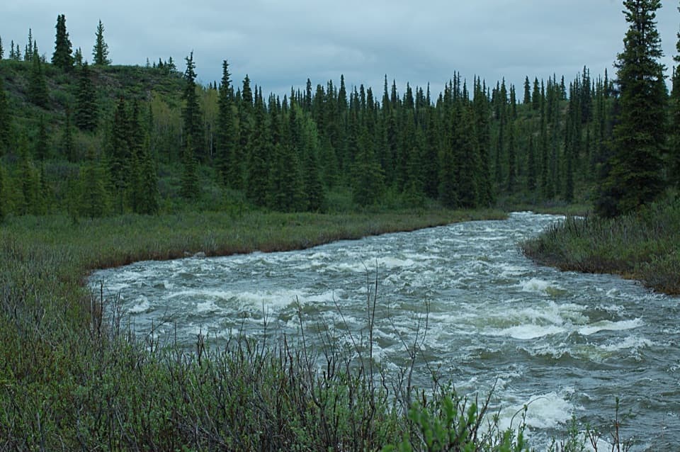
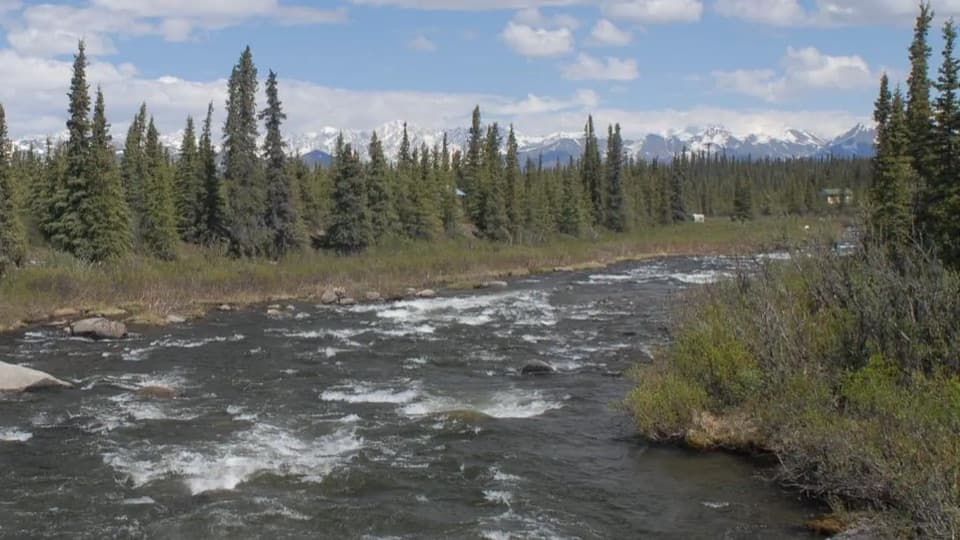
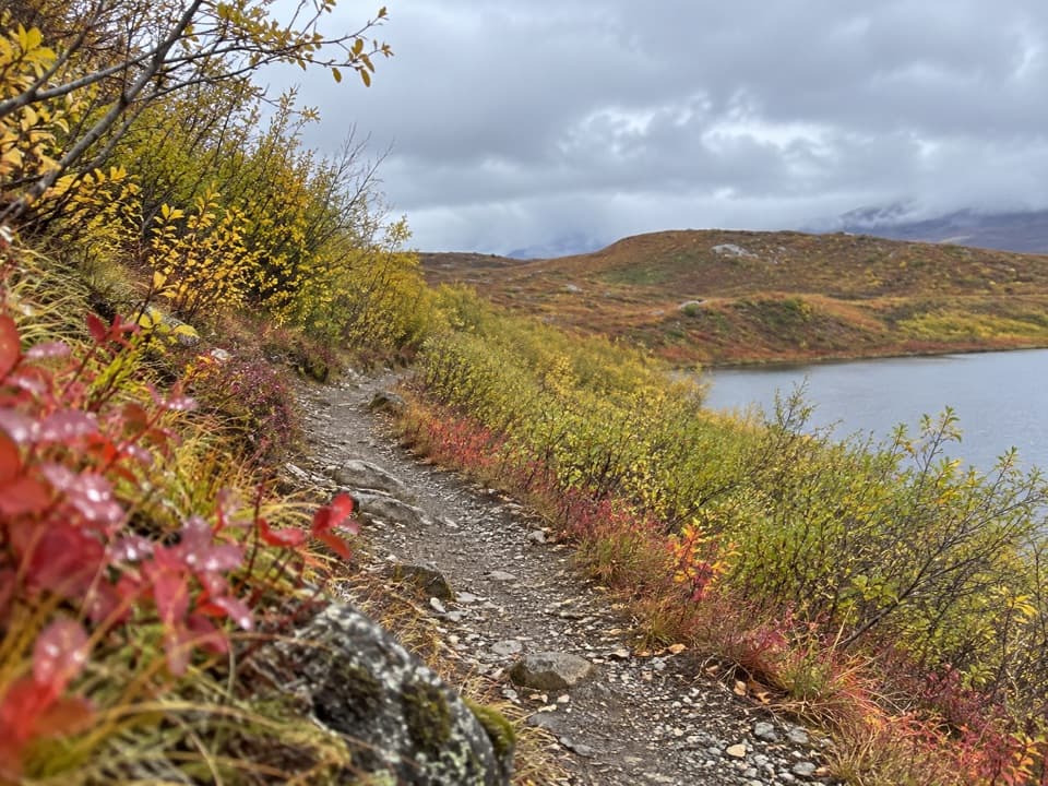
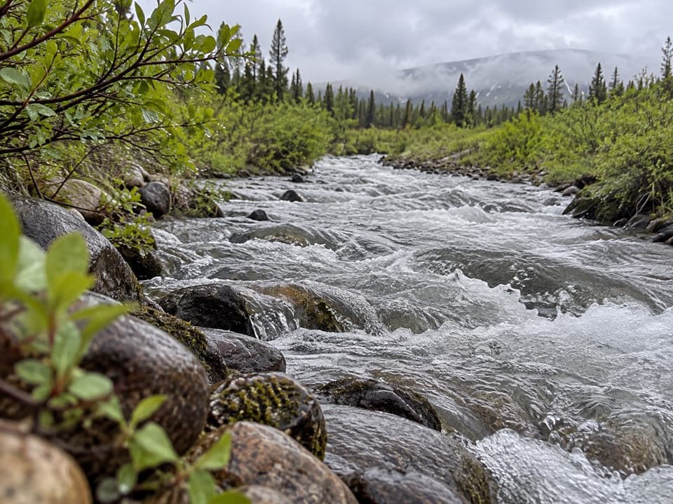
At the creekNear the south-side access, Seattle Creek runs past a spruce-strewn meadow.

Near the south-side access, Seattle Creek runs past a spruce-strewn meadow. Look for shallow pools, partly submerged rocks and grass reflections; a low angle at the water’s edge makes a more specific photo than a wide shot from the road.

Wildlife

Wildlife in Denali Highway

All Denali Highway wildlife maps

Sighting maps show where each species has been reported across Denali Highway. Wildlife moves, so no sighting is guaranteed.

Parkwolf’s Denali Highway ranking

Top-rated trails in Denali Highway

All 18 trails
  1. 1Landmark Gap Trail NorthEasy · 5.1 mi
  2. 2Swede Mountain TrailChallenging · 1.8 mi
  3. 3Tangle Lakes Foot TrailEasy · 1 mi
  4. 4Maclaren Summit TrailChallenging · 19 mi
  5. 5Glacier Gap Lake to Sevenmile Lake TrailChallenging · 17 mi
  6. 6Osar Lake TrailModerate · 14.2 mi

Take Parkwolf to Denali Highway.

The audio tour guide for the drive, plus offline maps, trails, and wildlife heatmaps for when the signal drops.

4.7 from 8,600+ ratings

Download Parkwolf on the App StoreGet Parkwolf on Google Play