Parking
Use the signed Glacier Gap Trailhead on the Denali Highway at mile 30.5. No developed lot or services are documented; plan for a roadside start and bring what you need.
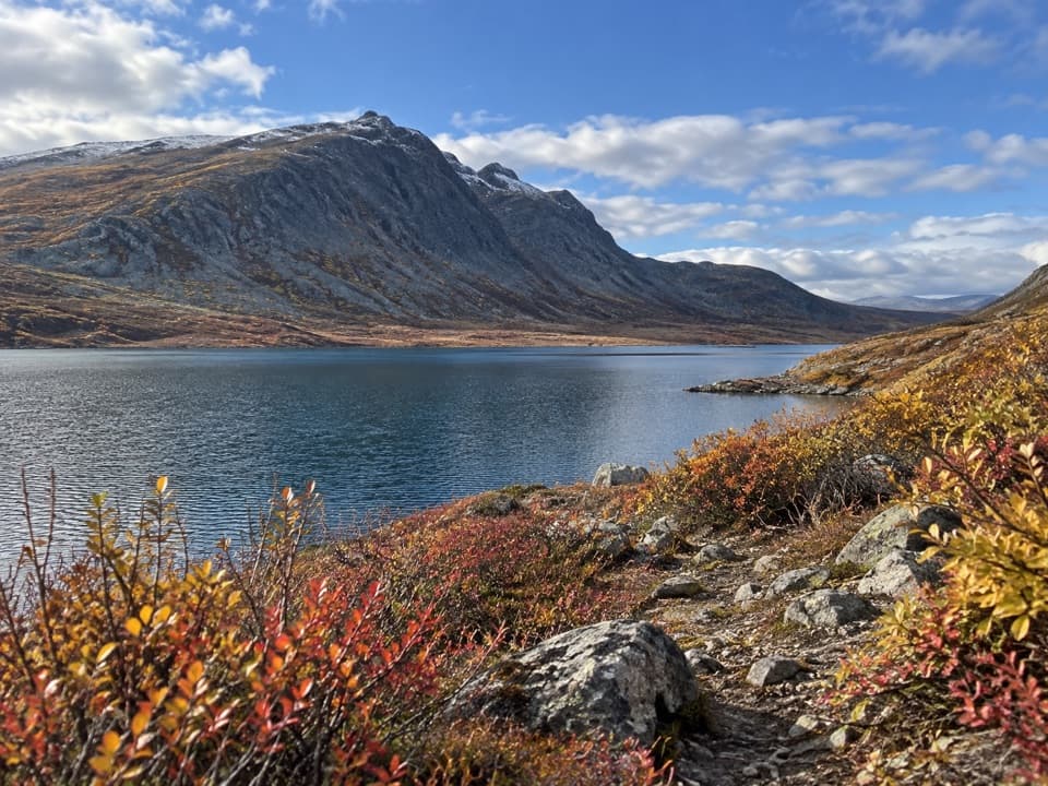
#5 of 18 trails in Denali Highway
Denali Highway, AK
A cold creek crossing opens into two high tundra lakes.
Overview
Map & elevation
Plan your hike

The highest, rockiest slopes around here are a summer buffet for grizzly bears.
Denali Highway Tour Guide
Parkwolf is a GPS audio tour guide for Denali Highway. As you drive, it chimes in with what’s ahead: hidden gems, upcoming stops, history, geology, and wildlife, right through your car’s speakers.
See the Denali Highway audio tourRecorded for this trailhead
Glacier Gap Trailhead: Lakes Beyond Rock Creek“The Glacier Gap trailhead is coming up, for a rugged walk across open tundra to Glacier Gap Lake. That lake makes a shorter turnaround at about six miles round trip.”
Plays as you drive up to this trailhead in the Parkwolf Denali Highway Tour Guide.
More stories near here in the app
“Fantastic app with many points of information… It’s great to just turn on while you’re driving and it gives you an audio tour of the national Park. We love it!!!!”


Trail guide
Glacier Gap Lake to Sevenmile Lake is a rugged tundra out-and-back from the signed Denali Highway trailhead at mile 30.5. The official route description adds to about 8.5 miles one way; other route accounts and the mapped track are closer to 7–8 miles. Plan for 14–17 miles round trip and a full day, roughly 8–12 hours with breaks. The shorter Glacier Gap Lake turnaround is about 6 miles round trip. Decide before the lake whether you want to continue toward Sevenmile; that extension more than doubles the outing.
About a quarter mile from the start, the route drops to Rock Creek. It is broad, cold and rocky, and can be deep enough to soak knee-high boots. Later stream crossings add more decisions. Water levels vary, so no visit guarantees a dry or easy ford; wear footwear that can get wet and turn back if the current or depth feels unsafe. This is also a multi-use trail, so watch for permitted off-highway vehicles and stay on the designated route.
After Rock Creek, the trail rolls across open tundra for roughly three miles toward the south end of Glacier Gap Lake. A signed junction before the lake separates the route onward to Sevenmile from a side path down to the shore. The lake is a natural place to turn around if you want a demanding but much shorter walk. A public rowboat and emergency shelter have been reported at the lake, but their current condition and availability are unverified; do not count on them as support.
The main route climbs the hillside above Glacier Gap Lake, then drops into the next valley for another stream crossing. From there it climbs to a low pass between the Glacier Gap and Sevenmile valleys before descending over open tundra. The terrain is rougher and more exposed than the first rolling miles, with little shelter from changing mountain weather. Keep an eye on the route at the junctions instead of assuming the easiest-looking track is the hiking line.
The trail finishes at the open tundra shore of Sevenmile Lake, below the Alaska Range. The view from the low pass is the payoff: frame the lake with the ridge and a little foreground tundra so the scale reads. There is no road at the lake, so a self-contained hike means retracing the route to MP 30.5; a through-hike needs its own verified trail connection and pickup plan. The full return is a long day even for strong walkers.
The state began building newer high-ground routes in 2007 to replace older, boggier paths; Glacier Gap was the first. This route remains a designated multi-use trail, with motorized use limited to eligible OHVs on designated trails. No food, potable water or toilets are documented at the trailhead or along the route, so bring everything you need. The exposed lakeshore is a place to rest, not a dependable source of shelter or supplies.
Wildlife
 56 sightingsMooseMost seen around 7 PMSighting map
 37 sightingsCaribouMost seen around 8 PMSighting map
 26 sightingsBald EagleMost seen around 11 AMSighting map
 33 sightingsTrumpeter SwanMost seen around 7 PMSighting map
 25 sightingsBeaverMost seen around 9 PMSighting map
 17 sightingsPorcupineMost seen around 10 PMSighting map
Sighting maps show where each species has been reported across Denali Highway. Wildlife moves, so no sighting is guaranteed.
Keep exploring
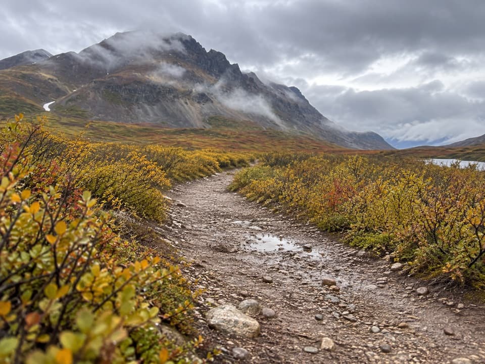 EasyLandmark Gap Trail North5.1 mi · 2.5 hr · 4.6 mi awayA gentle track to Landmark Gap Lake and its grayling pools.
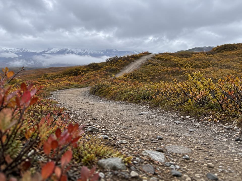 ModerateOsar Lake Trail14.2 mi · 8 hr · 5.8 mi awayA long esker walk to the northwest shore of Osar Lake.
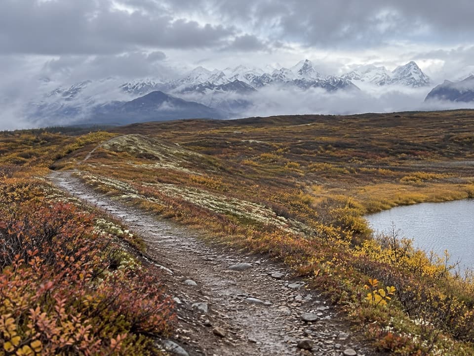 ChallengingMaclaren Summit Trail19 mi · 10 hr · 5.9 mi awayA full-day tundra hike to Sevenmile Lake with Alaska Range views.
 ChallengingOld Sevenmile Lake Trail17 mi · 11 hr · 7.5 mi awayA long, muddy hike to Sevenmile Lake's west side.
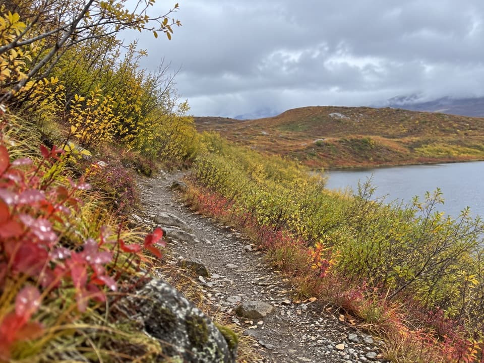 EasyTangle Lakes Foot Trail1 mi · 30 min · 7.9 mi awayClimb an esker for a quick, wide look over the Tangle Lakes.
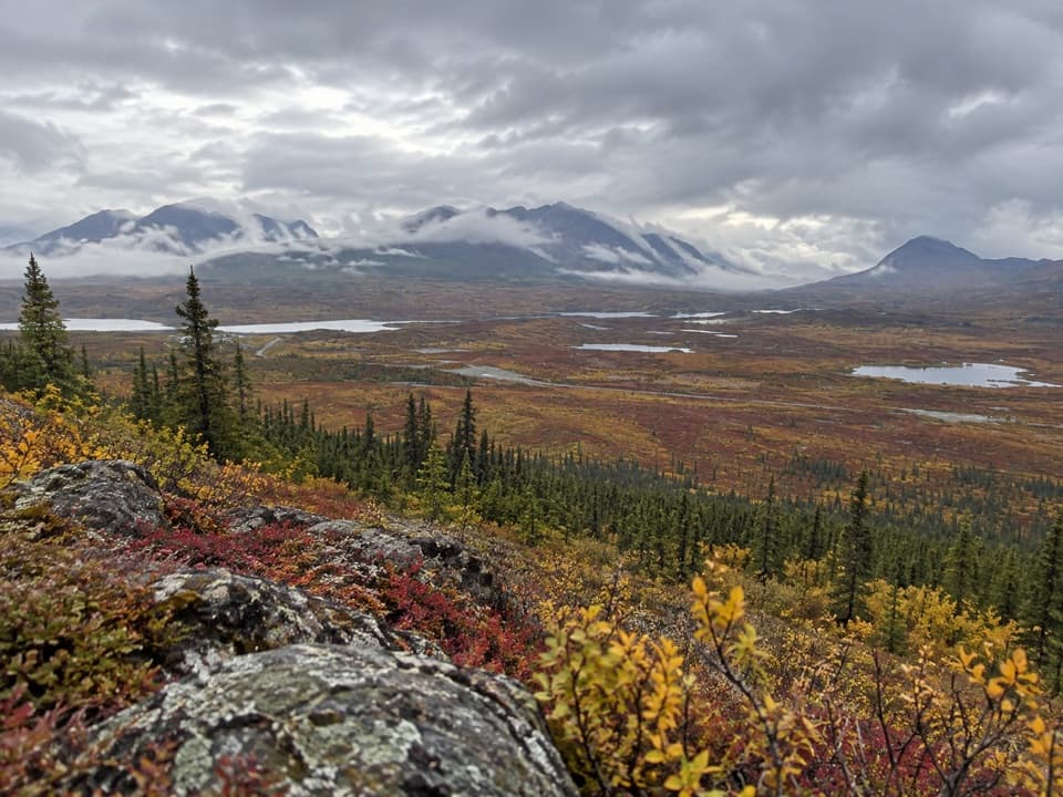 ChallengingSwede Mountain Trail1.8 mi · 2 hr · 9.1 mi awayA steep climb to broad views over the Tangle Lakes.
 ChallengingMaclaren River Trail16.3 mi · 9 hr · 10.4 mi awayA long ATV track into the Maclaren River valley
 ModerateSwede Lake Trail6.2 mi · 3 hr · 12 mi awayA six-mile out-and-back on the shared Swede Lake track
 Sight · 5.9 mi awayMaclaren SummitA high tundra pass with sweeping Alaska Range and river-valley views.
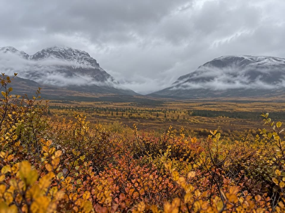 Sight · 6.5 mi awayLandmark Gap ViewA 10,000-year-old glacial gap frames McGinnis Peak and Mount Moffit.
 Lodging · 7.1 mi awayTangle Lakes LodgeMeals, groceries, and a lakeside cabin in one remote stop.
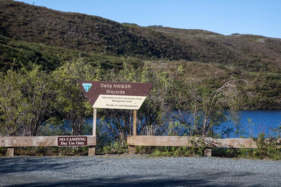 Picnic area · 7.5 mi awayDelta Wild and Scenic River WaysideA Tangle Lakes picnic stop with a launch for longer canoe trips.
 Campground · 7.9 mi awayTangle Lakes CampgroundA lakeside camp that doubles as the Delta River's 30-mile put-in.
 Lodging · 8.7 mi awayTangle River InnA mile-20 roadhouse looking across Round Tangle Lake and Landmark Gap.
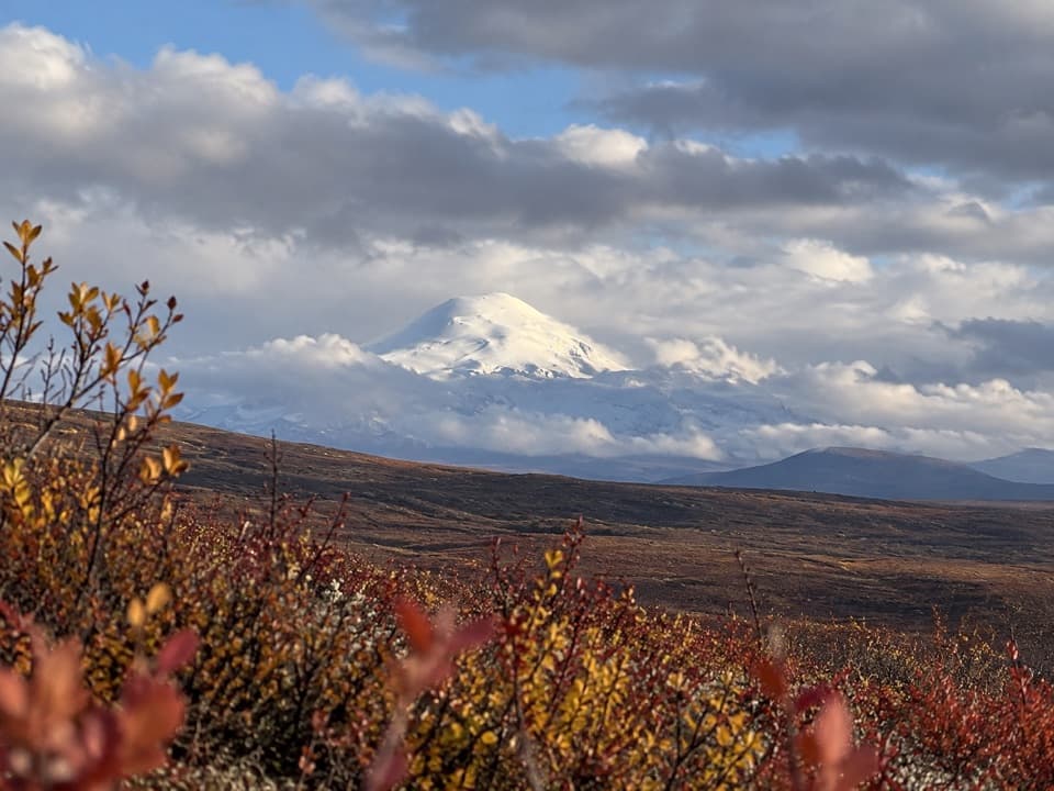 Sight · 9.1 mi awayWrangell Mountain ViewpointThree Wrangell peaks line up beyond a wide, brushy basin.
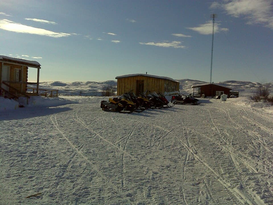 Lodging · 9.2 mi awayMaclaren River LodgeA real roadhouse stop where a night can save a long drive.
Parkwolf’s Denali Highway ranking

The audio tour guide for the drive, plus offline maps, trails, and wildlife heatmaps for when the signal drops.